It may be the hottest day of the year as daytime highs neared 100 and humidity keeps climbing. Here’s what you need to know on this sizzling Sunday in the D.C. region.
- Regional Heat Advisory in effect from 11 a.m. to 8 p.m. on Sunday.
- Heat index around 105 on Sunday.
- Stray storms are possible.
- If you are out in the heat, take precautions or seek shelter.
Even as we roll into the evening – and hopefully a little relief – it will take some time to come off the highs that had the whole area sweltering today. As of 6 p.m. Sunday evening, the high temperature at Reagan National Airport was 97 degrees with a heat index of 104.
Other highs recorded were 96 in Charlottesville, Va., 97 in Baltimore, Md., and 94 in Hagerstown, Md.
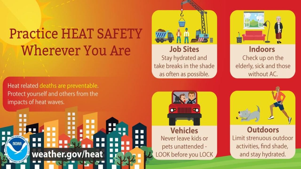
We’re not alone in trudging through this. According to the National Oceanographic and Atmospheric Administration (NOAA), 22% of people living in the United States were experiencing dangerous or extreme heat on Sunday.
NOAA also says to expect the dangerous heat to continue well into the coming work week.
The humidity rose throughout the day and, while there have been a handful of stray showers, it won’t be enough to beat back the heat. National Weather Service forecasts that Monday’s heat indexes will be between 100-108.
For Sunday night, we have a 20% chance for isolated showers and thunderstorms in
the evening. If we’re lucky, lows tonight may dip into the (comparatively arctic) upper 70s.
- Listen to WTOP online and on the radio at 103.5 FM or 107.7 FM.
- Weather forecast
- Sign up for WTOP alerts
- How to avoid heat stroke, heat exhaustion
- See an interactive map of D.C.’s cooling centers
- DC extends some outdoor pool hours this weekend
Heat advisories will remain in effect for the entire region until 8 p.m. Sunday night. Try to stay inside during the daytime when the heat index will hover around 105 for most of the region.
Heat Advisory in effect this afternoon for heat index values between 100 and 107 degrees. Stay cool and hydrated and remember to take plenty of breaks throughout the day today when doing outdoor activities. A stray shower or storm is possible near/west of the Blue Ridge today. pic.twitter.com/jhQWPHH12t
— NWS Baltimore-Washington (@NWS_BaltWash) July 24, 2022
If you have any strenuous activities scheduled for the day, please consider doing them in the late evening when temperatures are lower.
Dr. Gupta told WTOP people need to be aware of the dangers extreme heat presents.
“Oh, very dangerous, because people underestimate the damage it [heat] can cause. And as a physician, I know that it is bad for good health,” Gupta said while taking a break in the shade.
Also, remember to hydrate yourself regularly — even when you don’t think you need it. Dehydration, heat exhaustion and heat stroke have a reputation for sneaking up, so stay safe with a few simple precautions.
- How to stay cool and safe as extreme heat overtakes the DC region
- PHOTOS: Summer heat wave smacks DC area
Cooling off
If you do find yourself on the move during this scorcher, parts of the D.C. area have opened cooling centers or made other accommodations to escape the heat.
In anticipation of the heat, 10 D.C. pools have extended their hours from 10 a.m. to 8 p.m. through Sunday.
A list of District cooling center locations is available on the D.C.’s heat plan website.
In Maryland, the Prince George’s County Department of Parks and Recreation has a list of cooling centers available. Residents are asked check-in at the facility’s front desk when they arrive.
The City of Annapolis opened two cooling centers to combat this weekend’s heat. Find details on hours and locations on the city’s website.
Anne Arundel County’s cooling centers are open throughout the summer. Find a list of those locations on the county’s cooling website.
In Virginia, Fairfax County has opened special cooling centers for the weekend to help keep residents safe. Find the locations and hours on the Fairfax County website.
The City of Alexandria offers cooling centers to residents throughout the summer. Find more information on where to go on the city’s website.
Some community centers in Arlington are open for residents to get a break from the heat. Find information on which ones are open and details on hours of operation on the Arlington community center page.
Cooling centers in Loudoun County have extended hours for the weekend due to the heat. Information on hours and locations are on the heat alert website for the county.
Looking ahead
The hot and humid weather continues into the workweek. Temperatures will be in the mid-upper 90s Monday and the heat index will be between 100-108.
There’s a chance of shower’s and storms on Monday afternoon and evening.
Tuesday will be cooler, but still humid. Storms are more likely then.
Forecast
SUNDAY NIGHT: Steamy with increasing clouds. Temperatures should be in the 70s to near 80.
MONDAY: Very hot, increasing clouds. Showers and storms likely by the PM, strong to severe storms are possible. Temperatures in the mid 90s. The heat index will be over 100.
TUESDAY: Cloudy and cooler with storms possible, still humid. Temperatures will be in the low to mid-80s.
WEDNESDAY: It will get warm again and should be partly sunny and humid. A few showers and storms are possible. Temperatures will hover around 90.
Current weather
WTOP’s