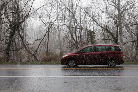
As the first ice storm of the season descends upon the D.C. area’s northern and western suburbs during the midweek, there are important reminders to keep you safe before, during and after the storm.
Also, there are misconceptions to remember as you navigate the first ice storm of the season.
Any ice storm presents its own challenges to get through it without trouble. From understanding the National Weather Service alert messaging to important points to keep in mind after the storm has exited the region, the tips below will help you navigate this first ice storm of the 2022-23 winter.
- Listen to WTOP online and on the radio at 103.5 FM or 107.7 FM.
- Weather forecast
- Sign up for WTOP alerts
- Tips for environmentally safe de-icing
The NWS has issued a Winter Storm Watch (so far) for the western suburbs. This alert will likely get changed to either a Winter Weather Advisory or Winter Storm Warning as the event draws closer.
Even though the primary form of precipitation north and west of Washington will be freezing rain and ice, the weather service will not issue an Ice Storm Warning because by definition if even minimal snow and sleet occurs, Winter Storm Warnings are required to be issued.
It’s important to realize freezing rain and ice will cause the most trouble with this storm.
You should exercise extreme caution when the freezing rain begins early Thursday, because ice is very difficult to spot. If you see shiny surfaces, that’s usually ice.
Roads can become slippery during the onset of the freezing rain, especially with this storm, because pavement temperatures will likely be below freezing due to the cold temperatures leading up to the event.
Unlike a major snowstorm where high snowfall rates lead to rapid snow accumulation, ice accumulates at a much slower rate, even during steady moderate freezing rain. That being said, all it takes is a minor glaze on roadways to cause treacherous travel and that occurs early in the event. However, you will not notice the trees decorated with ice until several hours after the freezing rain begins.
In most ice storms such as the one heading to the D.C. area on Thursday, ice accumulation is usually thickest on flat surfaces like cars and driveways with less ice accumulation on power lines and trees. Typically, the lower range of ice accumulation in a weather forecast refers to how much is expected on power lines and trees while the higher end of the range is ice amounts expected on flat surfaces.
Fog almost always accompanies an ice storm because warm air is moving over a cold ground. The lowest visibility will occur during the latter half of the storm and in higher elevations, so motorists will notice it on the drive home from work Thursday afternoon into early Friday. Remember to use low beams in fog as high beams make it much more difficult to see.
The amount of moisture with this storm will be 1 inch to 1.75 inches. After the storm is finished, despite the drier air and light northwest breeze on Friday, the pavement in sheltered and shaded spots and the ground itself will not completely dry out for several days.
Beware of black ice development each morning through early next week with temperatures dropping below freezing, even in the nation’s capital where the storm will be primarily all rain.
On Friday, the day after the ice storm, avoid parking and walking under trees and power lines encased in ice. The milder temperatures and sunshine will cause melting and trigger, in some cases, large chunks of ice falling to the ground, potentially causing injury or damage.
The melting/refreezing cycles of the moisture lingering in spots on streets is likely to contribute to pothole development down the line later this month.
Keeping this information in mind will hopefully help you safely get through the first ice storm of the season. Stay with WTOP for weather on the 8’s to get the latest information on the winter storm and temperatures expected after it exits the region.


