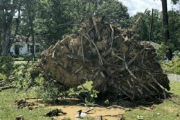
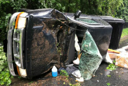
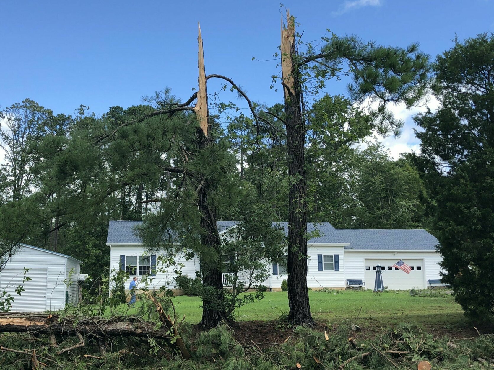
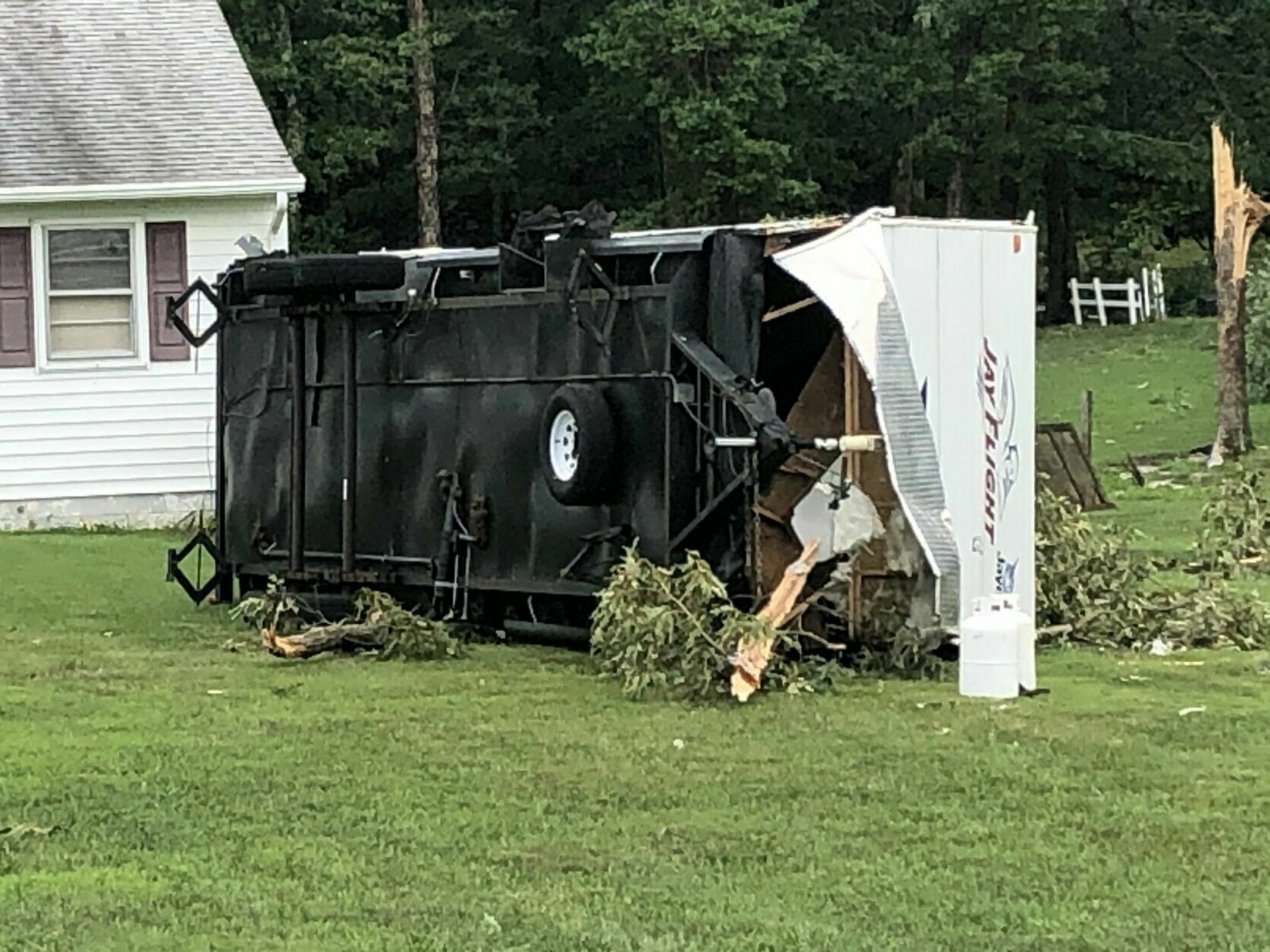
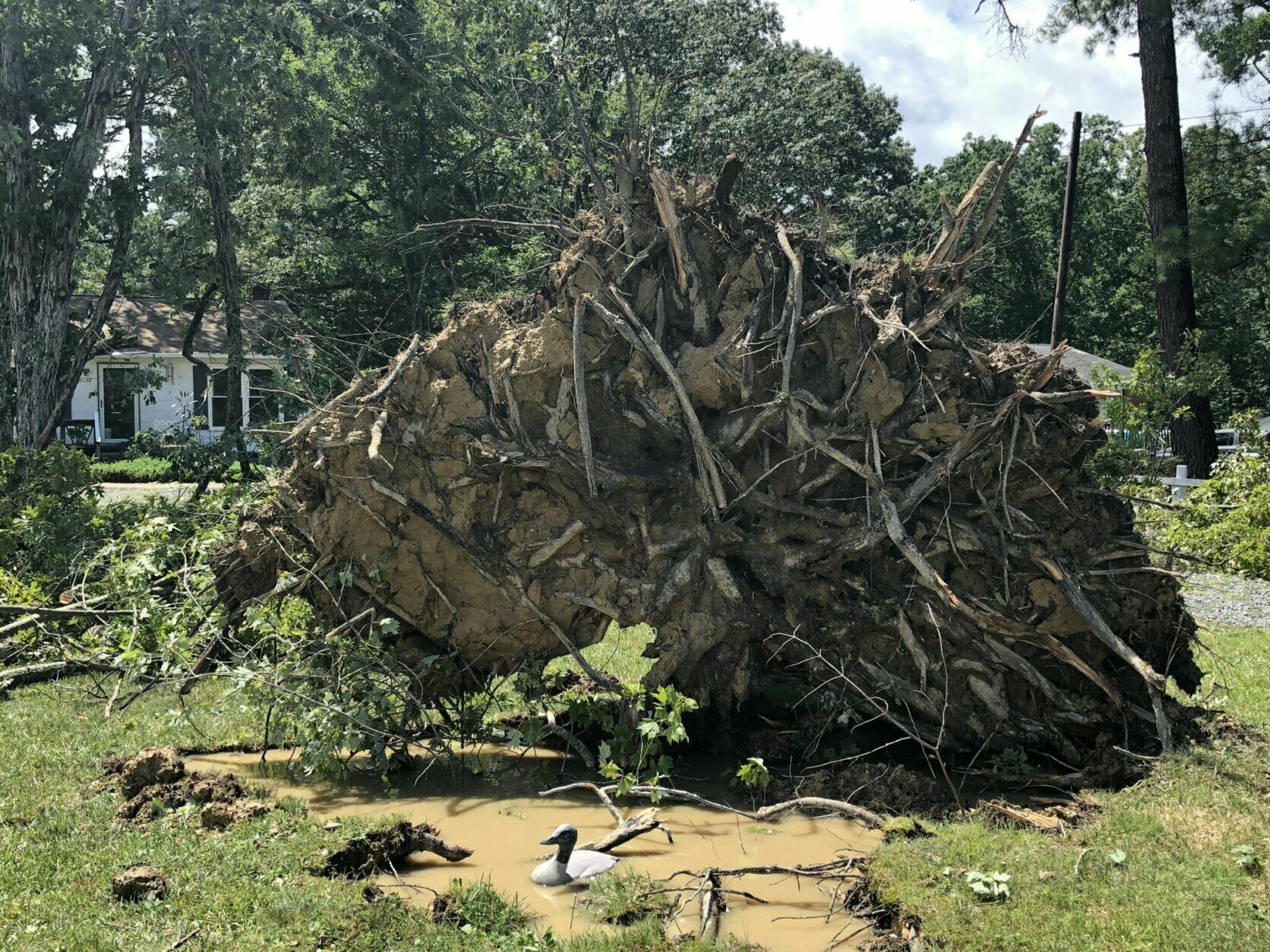
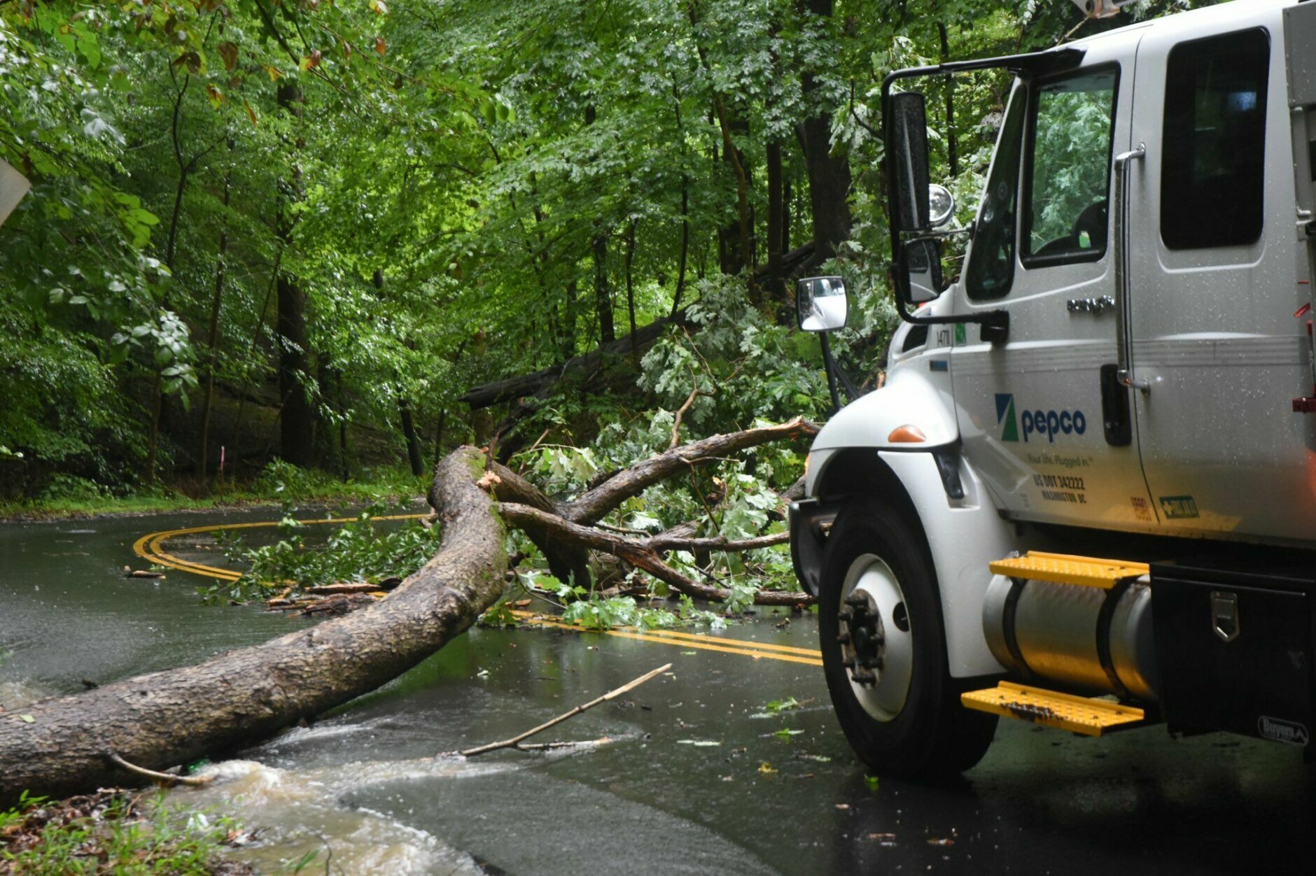
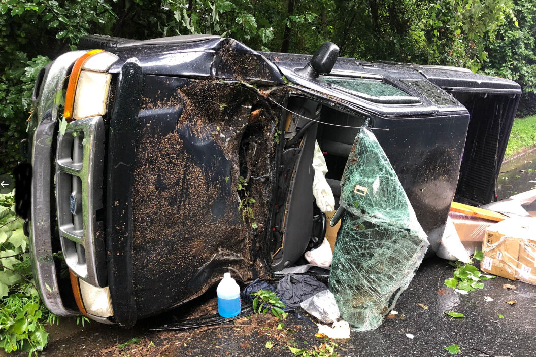
Tropical Storm Isaias barreled up the coast Tuesday, bringing damaging winds and buckets of rain that flooded some D.C.-area roadways.
But how does Isaias stack up to other tropical disturbances that have hit the D.C. region?
For one thing, Isaias is far from the worst storm to impact the region, but it does share something with those other more powerful storms: a common first letter.
The D.C. region seems to attract “I-named” storms.
For example, the last hurricane to directly impact the region was Irene in 2011. The storm made landfall on Aug. 27, 2011, near Cape Lookout, North Carolina, as a Category 1 storm and brought heavy rainfall to the region — up to 11.5 inches in some areas in Southern Maryland.
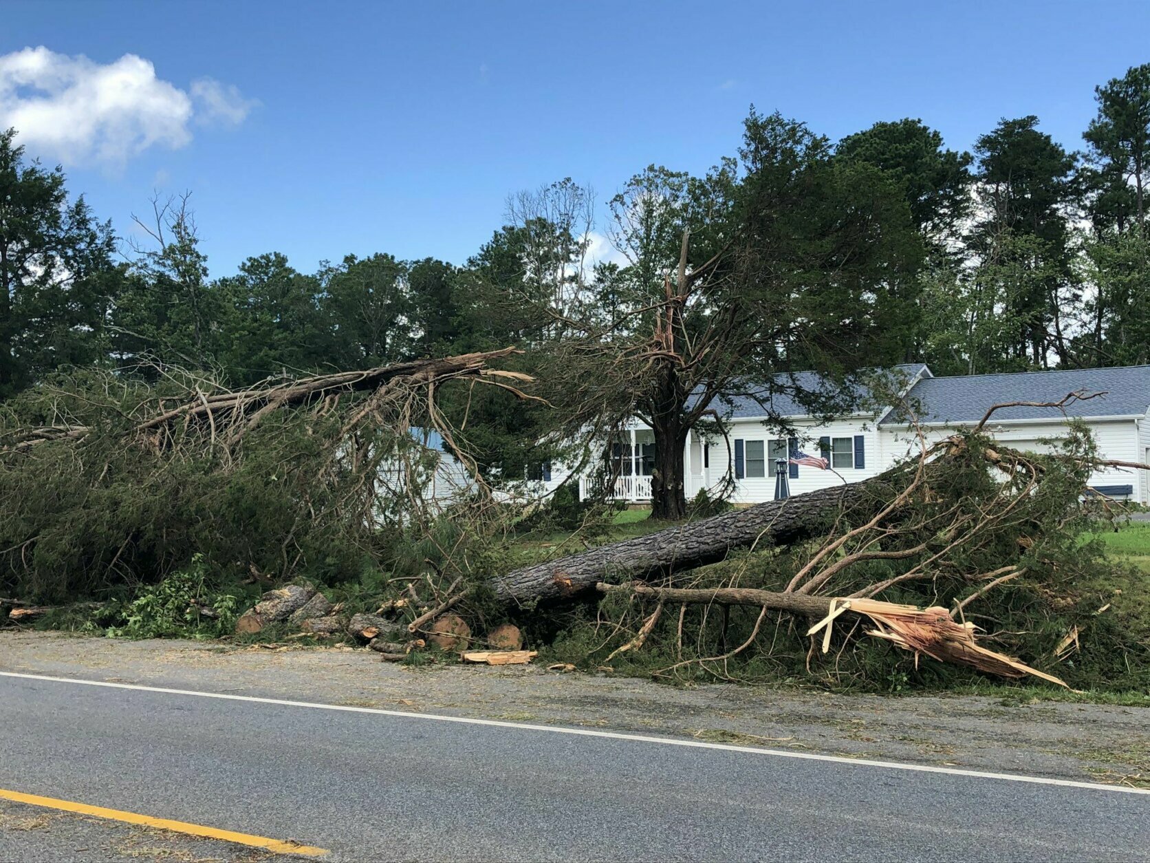
In 2004, the remnants of Hurricane Ivan spawned several tornadoes in Maryland and Virginia — the largest outbreak ever in Virginia.
The year before that, in 2003, Hurricane Isabel brought tropical storm force wind gusts and surge flooding. Then-Virginia Gov. Mark Warner called it “probably the worst storm in a generation.”
Isabel was the deadliest, costliest and most intense hurricane in that Atlantic hurricane season, according to meteorologist Chris Strong with the National Weather Service in Sterling, Virginia.
“It’s a very devastating track for storms coming at us directly rather than something that’s coming more up the coast,” he said. “And Isabel was just massive amounts of tidal flooding and trees down, knocking power out to many, many people.”
However, earlier storms packed even more powerful punches to the region.
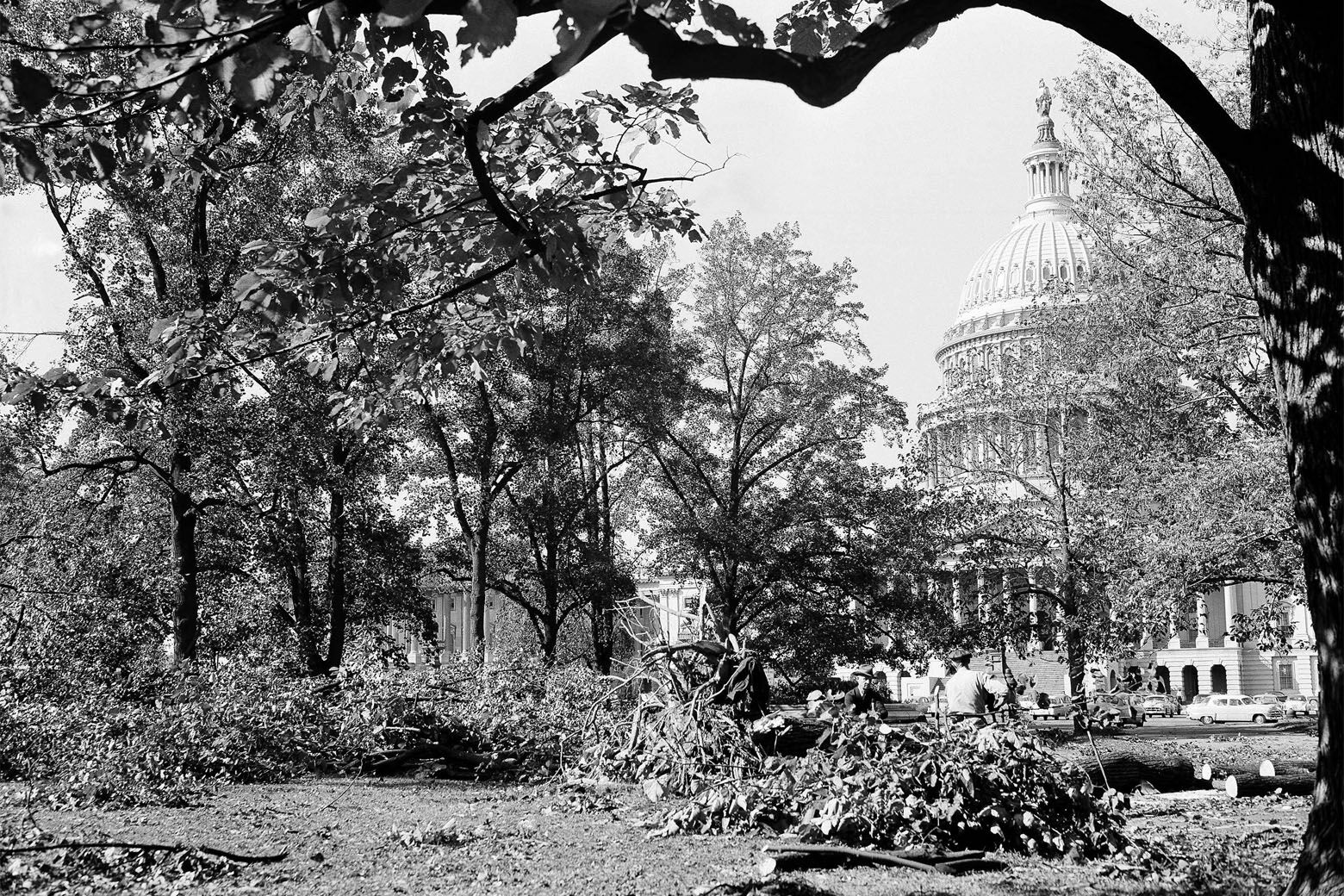
Another storm that was the worst to hit the region in terms of the powerful winds was in 1954: Hurricane Hazel brought wind gusts of 98 mph and set a record that has yet to be broken.
Back-to-back Hurricanes Connie and Diane in 1955, as well as Agnes in 1972, were just as destructive — but through major flooding instead of high winds. Agnes dumped more than 12 inches of rain in a short amount of time, washing away homes and roads, and killing 13 people in Virginia and 19 people in Maryland.

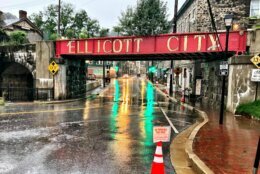
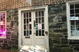
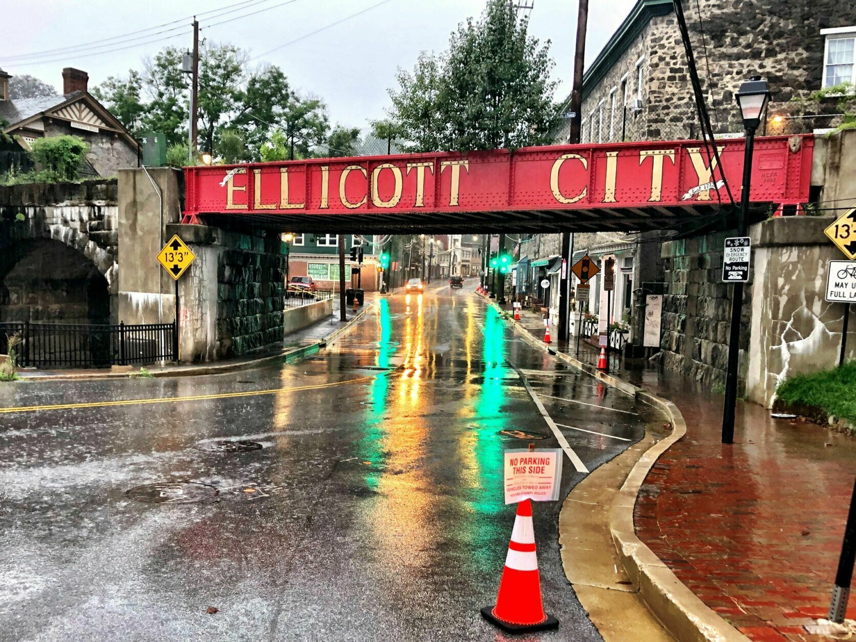
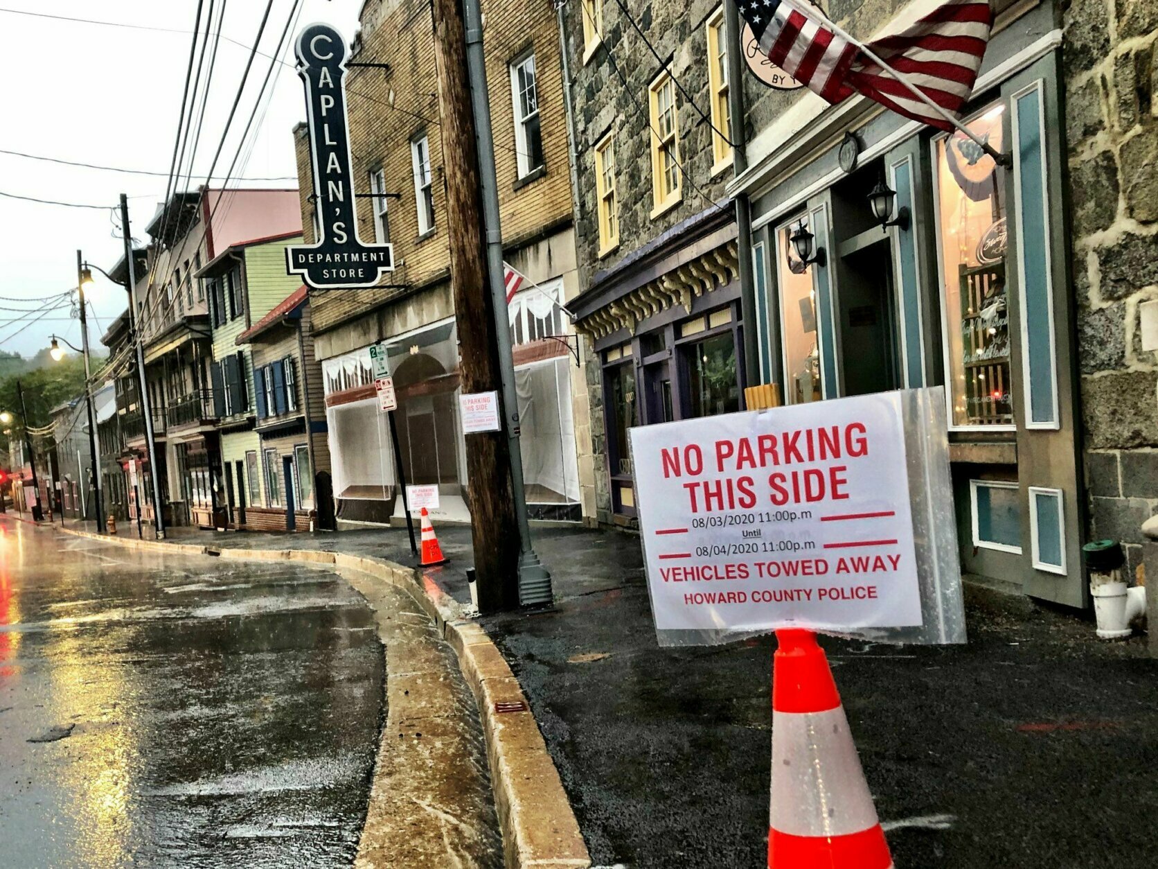
Good news! Packing away the sandbags outside LaPalapa Grill and Cantina, on Main Street. Flood-prone Ellicott City has weathered hours of steady, but not torrential rain. pic.twitter.com/Mfpm30HQXE
— Neal Augenstein (@AugensteinWTOP) August 4, 2020
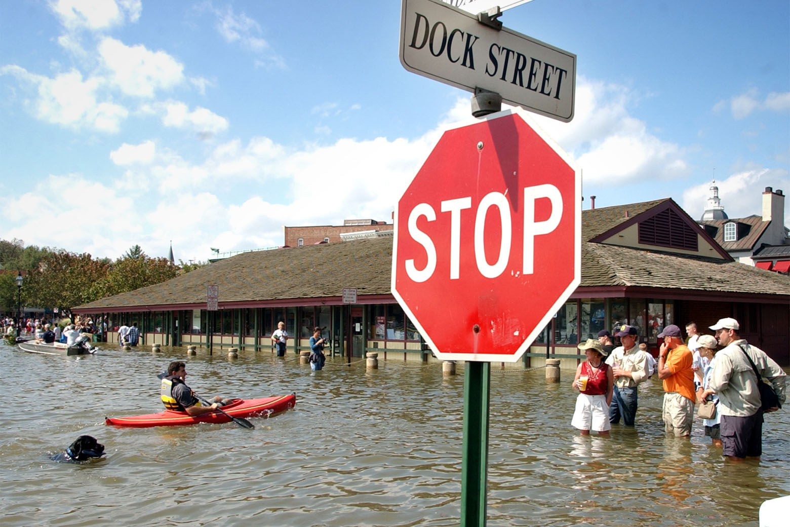
Compromise Street by the City Dock area in Annapolis. Water is just below knees if you walk in... which I saw someone do by accident. @WTOP #isaias pic.twitter.com/sE1Sis6j4w
— Nick Iannelli (@NickWTOP) August 4, 2020


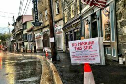
Tiber River, flowing through new culvert under Ellicott Mills Drive, which replaced aging metal one blown out in 2018 flash flooding. Water level has gone up slightly in past few hours, but still well within banks. No water to speak of flowing down Main Street. pic.twitter.com/bqSQbmyH7k
— Neal Augenstein (@AugensteinWTOP) August 4, 2020

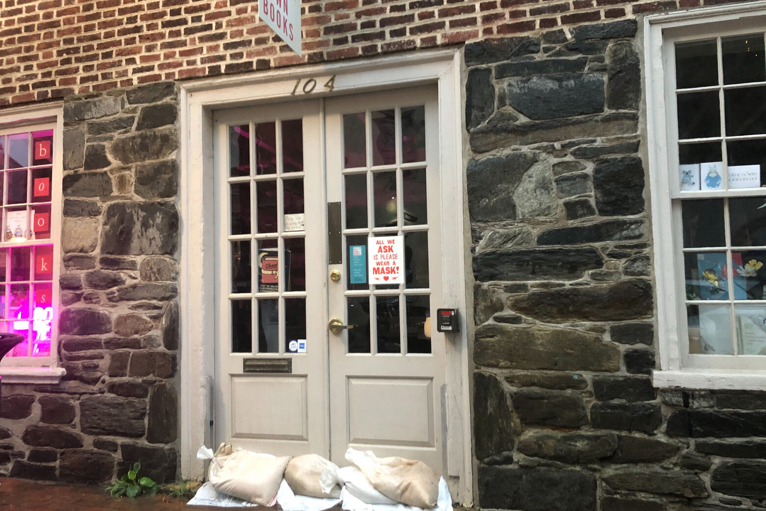
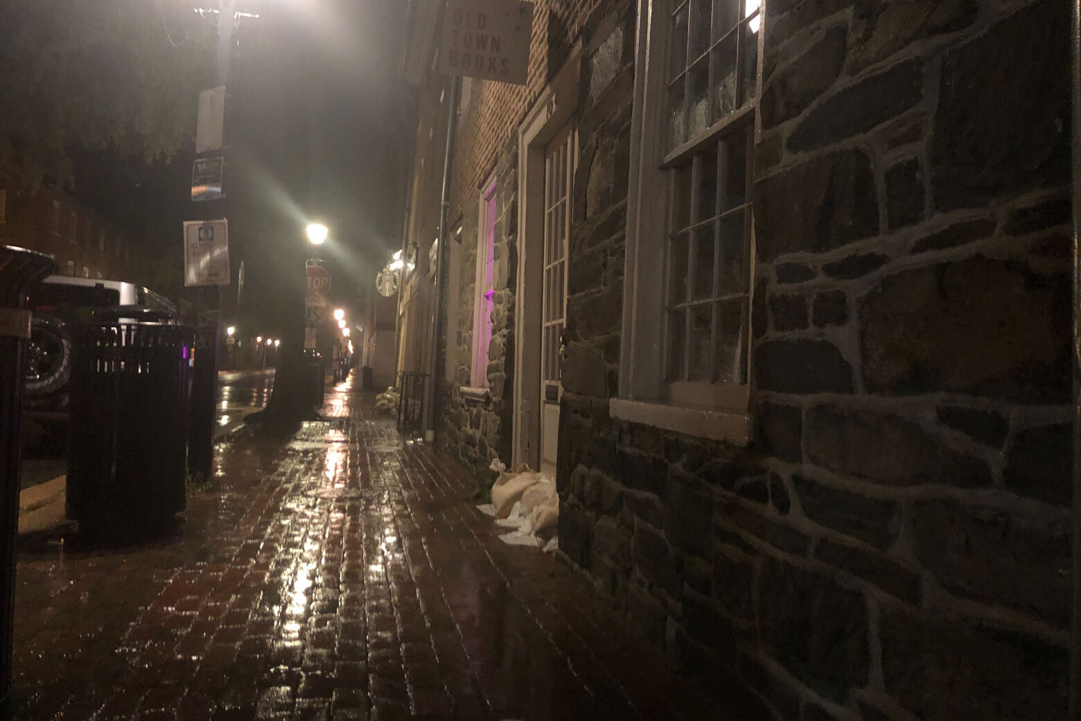
It’s coming down in Old Town Alexandria. Businesses lined with sandbags as we brace for the potential impacts from Tropical Storm #Isaias @WTOP pic.twitter.com/xZLKacyQkV
— Melissa Howell (@Mhowell003) August 4, 2020