It’s like a hot oven in the D.C. region this weekend, with temperatures hitting near 100. Here’s what you need to know.
- Heat Advisory in effect from 11 a.m. to 8 p.m. on Sunday.
- Heat index around 100 on Saturday and around 105 on Sunday.
- Chance of showers and thunderstorms Saturday night.
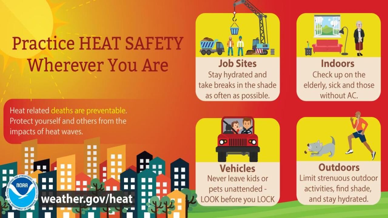
If you’re thinking about walking your dog outside, going to the beach or taking a walk in the park this weekend, then take some precautions to protect yourself, your pets and your family from the blazing hot that is… outside. [Cue Gen X sci-fi meme]

Heat advisories will be in effect for the entire region on Sunday from 11 a.m. to 8 p.m. If you can, try to stay inside during the daytime. If you can’t, plan ahead to make sure you’re not a victim of this extreme heat.
How to stay cool and safe as extreme heat overtakes the DC region
If you have any strenuous activities scheduled for the day, please consider doing them in the early morning or late evening when temperatures are at their lowest. Also, remember to hydrate yourself regularly – even when you don’t think you need it. Dehydration, heat exhaustion and heat stroke have a reputation for sneaking up, so stay safe with a few simple precautions.
Saturday was sunny and hot, with highs in the mid to high 90s and a heat index of 100 at Reagan National Airport mid-afternoon.
Not that its a comfort, but the D.C. area was not alone with Saturday’s scorcher. An estimated 66 million (20% of the U.S.) live in areas that experienced dangerous levels of heat today. On Thursday, that number was 100 million.
For the rest of Saturday, it’ll be mostly cloudy with a handful of isolated showers. Some temperatures in the area may even dip into the 70s.
Nonetheless, you should brace yourself, or better yet hydrate yourself for Sunday, when our regional heat wave hits its zenith.
In anticipation for the heat, 10 D.C. pools have extended their hours from 10 a.m. to 8 p.m. through Sunday.
Mayor Muriel Bowser activated the District’s Heat Emergency Plan for Saturday at 10 a.m., which activates D.C.’s cooling centers. That plan goes into effect when the forecast of the temperature or heat index in the District is 95 degrees or higher.
A list of District cooling center locations is available on the D.C.’s heat plan website.
In Maryland, several counties and recreation centers offer cooling centers on scorching hot days.
In Prince George’s County, the Department of Parks and Recreation has a list of cooling centers available. Residents are asked check-in at the facility’s front desk when they arrive.
The City of Annapolis opened two cooling centers to combat this weekend’s heat. Find details on hours and locations on the city’s website.
Anne Arundel County’s cooling centers are open throughout the summer. Find a list of those locations on the county’s cooling website.
In Virginia, cooling centers are open as well to help residents stay out of the heat.
Fairfax County has opened special cooling centers for the weekend to help keep residents safe. Find the locations and hours on the Fairfax County website.
The City of Alexandria offers cooling centers to residents throughout the summer. Find more information on where to go on the city’s website.
Some community centers in Arlington are open for residents to get a break from the heat. Find information on which ones are open and details on hours of operation on the Arlington community center page.
Cooling centers in Loudoun County have extended hours for the weekend due to the heat. Information on hours and locations are on the heat alert website for the county.
Saturday night will be steamy, Ricketts said, and there’s a chance of a shower or thunderstorm overnight in the NW suburbs, with the highest chance being out west.
We’re expecting Sunday to be the zenith of this heat wave. Afternoon highs will be near 100, with higher humidity levels, bringing heat indexes to between 105 and 110, Storm Team4 meteorologist Chuck Bell said.
However, there’s the 20% chance of rain with a possible isolated storm.
- Listen to WTOP online and on the radio at 103.5 FM or 107.7 FM.
- Weather forecast
- Sign up for WTOP alerts
- How to avoid heat stroke, heat exhaustion
- See an interactive map of D.C.’s cooling centers
- DC extends some outdoor pool hours this weekend
“Feels like temperatures will exceed those values at times during the afternoon and early evening hours both days,” Storm Team4 meteorologist Ryan Miller said.
The extreme, and potentially dangerous heat will hold on through Monday, when temperatures will be in the mid 90s with the heat index around 105. Showers and storms are expected in the afternoon, some of which could be strong to severe.
The temperatures finally drop on Tuesday as a round of showers and storms comes through.
The nation’s capital isn’t alone as much of the Deep South and Northeast from South Carolina to southern Maine have been affected by the heat wave as some temperatures hit close to 100 degrees.
Forecast
SATURDAY NIGHT: Steamy and clear, hot. Temps: 70s to near 80.
SUNDAY: Dangerously hot and humid with a stray storm possible. Temps: Mid to Upper 90s. Heat Index: 104-108.
MONDAY: Very hot, increasing clouds. Showers and storms likely by the PM, strong to severe storms possible. Temps: Mid 90s. Heat Index: Around 105.
TUESDAY: Cloudy and cooler with storms possible, still humid. Temps: Mid to Upper 80s.