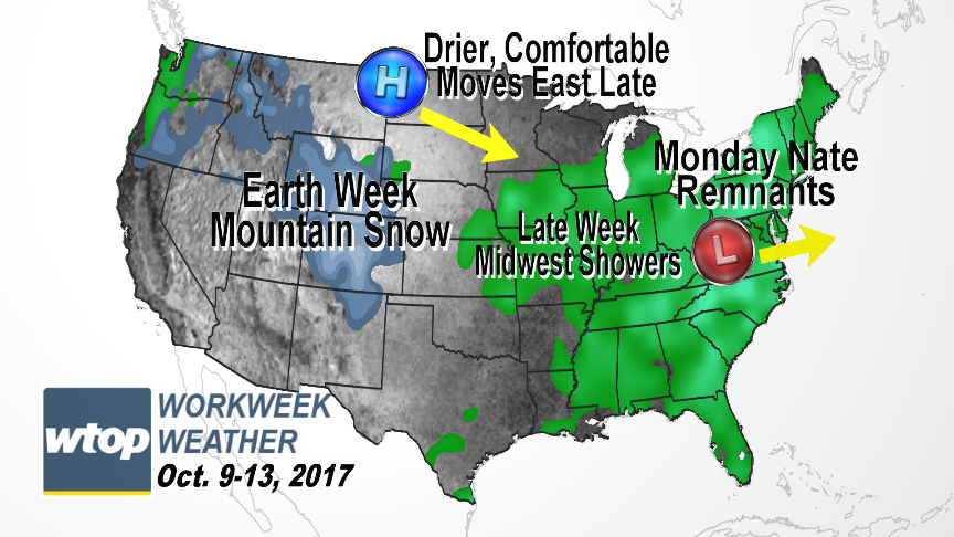
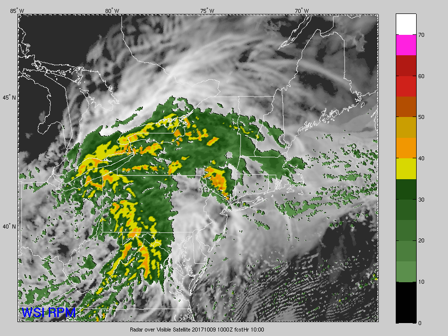
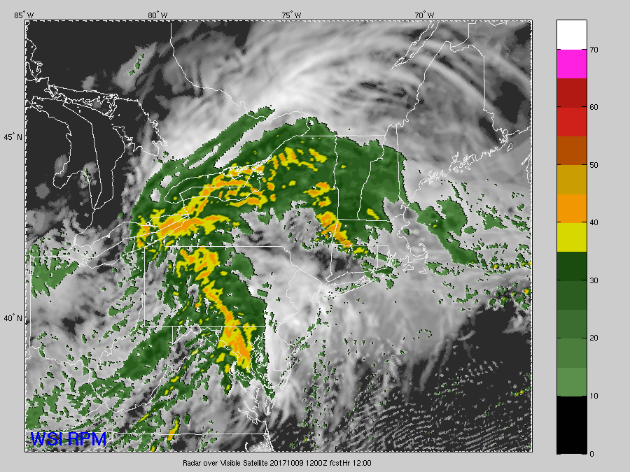
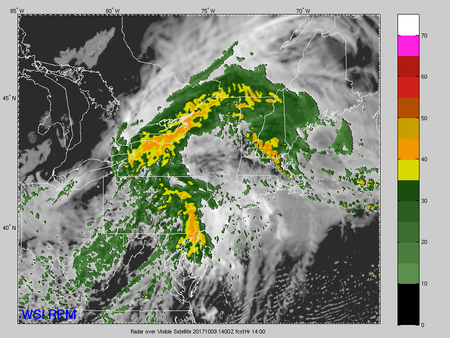
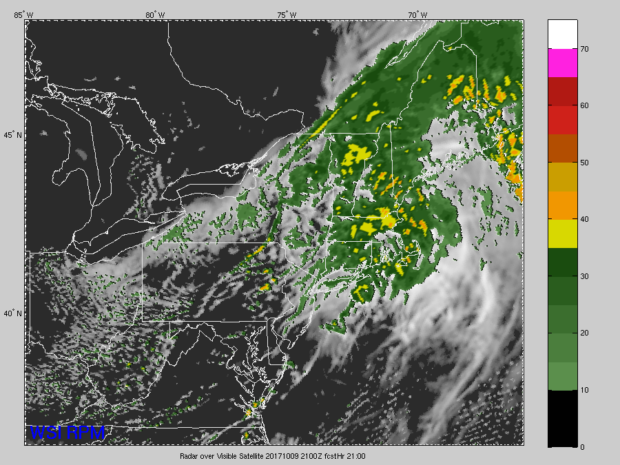
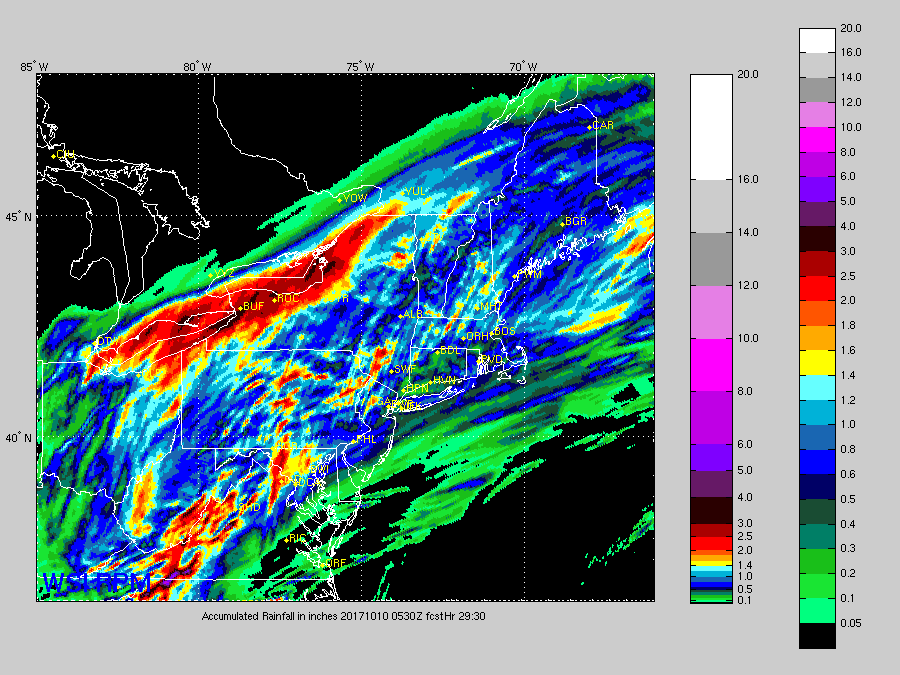
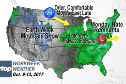
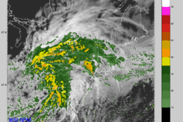
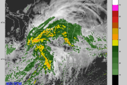
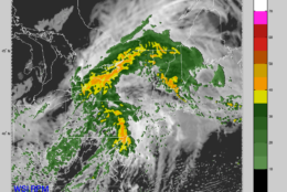
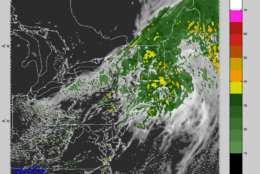
The remnants of former Hurricane Nate will continue moving up the Appalachian Mountains and bring the area the first soaking rain we’ve had in almost 25 days.
It will be a rainy Monday morning rush with the rain heavy at times in a few bands. Some pooling of water on the roadways may slow the commute, but other than that, the speed of the system and the antecedent dry conditions will prevent widespread flooding.
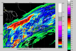
Many areas will pick up an inch of rainfall, especially west of Washington. Some spots near Interstate 81 may get a little more. But, again, the system will move right along to New England and then out to sea; and it may be soon enough that we’ll even get to see some sun again Monday afternoon, which would spike temperatures right back up into the 80s and make it feel absolutely tropical, especially for this time of year.
The cold front which helped draw Nate inland and toward us in the first place will slowly pass through in the storm’s wake on Tuesday, dropping the humidity a bit by Wednesday. The temperature improvement will be more noticeable, but that will also be because the clouds will come right back in ahead of the next disturbance, which will also bring a chance for some more light rain on Wednesday into early Thursday. It will be much less than Nate’s remnant amounts, however.
Strong Canadian high pressure will then build in Thursday into Friday, displacing all the warm, humid weather. The workweek will end much more seasonable with much less humidity, finally feeling like fall again.
Daily weather highlights
Monday
Rainy and breezy for most of the morning
Breezy with scattered showers and some partial sunshine in the afternoon
Unseasonably warm and very humid
Tuesday
Diminishing breezes
Still warm, but a bit less humid
Mix of sun and fair weather clouds
A stray shower or two
Wednesday
Becoming cloudy again
Not as warm and turning less humid, despite a few showers
Potential to be even cooler with a steady light rain and drizzle
Thursday
Still a fair amount of cloudiness
Breezy with dropping humidity
Friday
More seasonable temperatures
Mix of clouds and sun
The remnants of former Hurricane Nate will bring some rain at the start of the week.
(WTOP/Storm Team 4)
WTOP/Storm Team 4
This series of images is from the hi-resolution RPM computer model, showing the remnants of Nate moving up from the south. The data depicted is future cloud cover and future radar. The center of low pressure will pass by to our north and west, through Ohio and western Pennsylvania. But the area will be close enough to get some bands of moderate to sometimes heavy rain, especially Monday morning. But by Monday afternoon the area will already start drying out on western winds sloping down the mountains. The times for the images are Monday 6 a.m., 8 a.m., 10 a.m. and skips ahead to 5 p.m. The evening rush hour won’t be as slow due to the weather.
(The Weather Company)
The Weather Company
The model is also showing the potential for some heavy amounts, especially in the mountains, where there could be some swathes of 1-2 inches of rainfall. But the higher likelihood is that most of the area is looking at 1/2 to 1 inch of rainfall.
(The Weather Company)
Editor’s Note: The WTOP Workweek Weather Blog is intended as an in-depth yet plain language summary of the business week’s weather potential in the D.C. area along with an explanation of the contingencies and uncertainties that exist at the time of publication. For the latest actual Storm Team 4 forecast, check out the link on the main WTOP Weather Page.