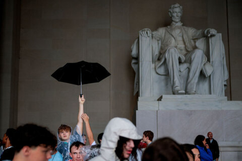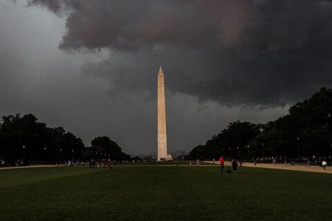
A dreary Friday could be capped off by storms and showers in parts of the D.C. region.
7News First Alert Meteorologist Eileen Whelan said that increasing clouds throughout the day will lead to scattered showers and thunderstorms developing during the afternoon and evening.
“Coverage should be greatest south and west of the I-95 corridor, particularly along and south of I-66 and US-50,” Whelan said.
There’s a “marginal risk” for severe weather mainly south and west of the D.C. area.
- Listen to WTOP online and on the radio at 103.5 FM or 107.7 FM.
- Current traffic conditions
- Weather forecast
- Closings and Delays
- Sign up for WTOP email alerts
- Get custom alerts with the WTOP app for Apple and Android phones
“Any stronger storms could produce damaging wind gusts, frequent lightning and locally heavy rain capable of isolated flash flooding. It will not be a washout, but storm chances increase during peak heating,” she said.
Highs on Friday will be in the low to mid 80s. Showers and thunderstorms may continue into the evening with storms diminishing overnight with lows ranging from 68 to 73.
Looking ahead to the weekend, Sunday could bring strong thunderstorms to the D.C. area.
Forecast
FRIDAY:
Mostly cloudy. Chance for showers, storms
Highs: 78-85
Winds: Northeast 5-10 mph
Highs will reach the low to mid 80s with increasing clouds and scattered showers and thunderstorms developing, especially during the afternoon and evening. Coverage should be greatest south and west of the I-95 corridor, particularly along and south of I-66 and US-50. A ‘marginal’ risk for severe weather is in place mainly south and west of Washington. Any stronger storms could produce damaging wind gusts, frequent lightning and locally heavy rain capable of isolated flash flooding. It will not be a washout, but storm chances increase during peak heating.
FRIDAY OVERNIGHT:
Lingering showers/storms
Lows: 68-73
Winds: Light
Showers and a few thunderstorms may continue into the evening as the front starts sliding south of the area. The activity should gradually diminish overnight as high pressure begins building in from the north. Lows will fall into the upper 60s to low 70s with light winds and decreasing humidity.
SATURDAY:
Partly cloudy
Highs: 83-88
Winds: North 3-8 mph
A nice break arrives to start the weekend. High pressure will push the front into the Carolinas, bringing mainly dry weather and noticeably lower humidity to the DMV. Highs will reach the 80s, with the city possibly a little warmer.
SUNDAY:
Partly sunny. PM rain, storm chance
Highs: 87-92
Winds: South 5-10 mph
Humidity begins to climb again as another front approaches. Temperatures rise into the mid to upper 80s to lower 90s around Washington, with heat index values reaching the mid 90s during the afternoon. Scattered showers and thunderstorms become possible, although the exact timing remains uncertain. The severe weather risk appears low at this point, but is not zero.
MONDAY:
Partly sunny. Showers and storms
Highs: near 90
Winds: Northwest 5-10 mph
The front may still be close enough to keep scattered showers and thunderstorms in the forecast. Highs will reach the mid to upper 80s to near 90, along with higher dew points making it feel sticky. Gusty winds and locally heavy rain would be the main concerns with any stronger storms, but the eventual position of the front will determine how widespread the activity becomes.
TUESDAY:
Mostly sunny
Highs: around 85
Winds: Northwest 5-10 mph
A quieter and more comfortable pattern should begin to take hold as the front moves offshore and high pressure settles into the region. Skies turn mostly sunny with highs in the mid 80s. Northwest to north winds will help lower the humidity, bringing a welcome break from the muggy conditions.
Current conditions
Get breaking news and daily headlines delivered to your email inbox by signing up here.
© 2026 WTOP. All Rights Reserved. This website is not intended for users located within the European Economic Area.