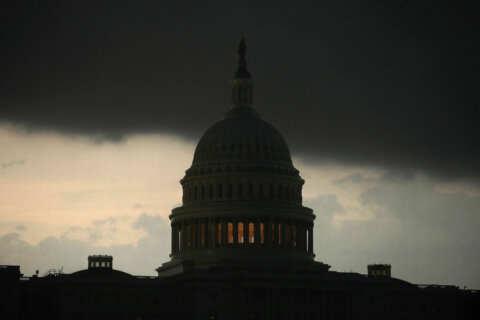


Listen live to WTOP for the latest traffic and weather on the 8’s.
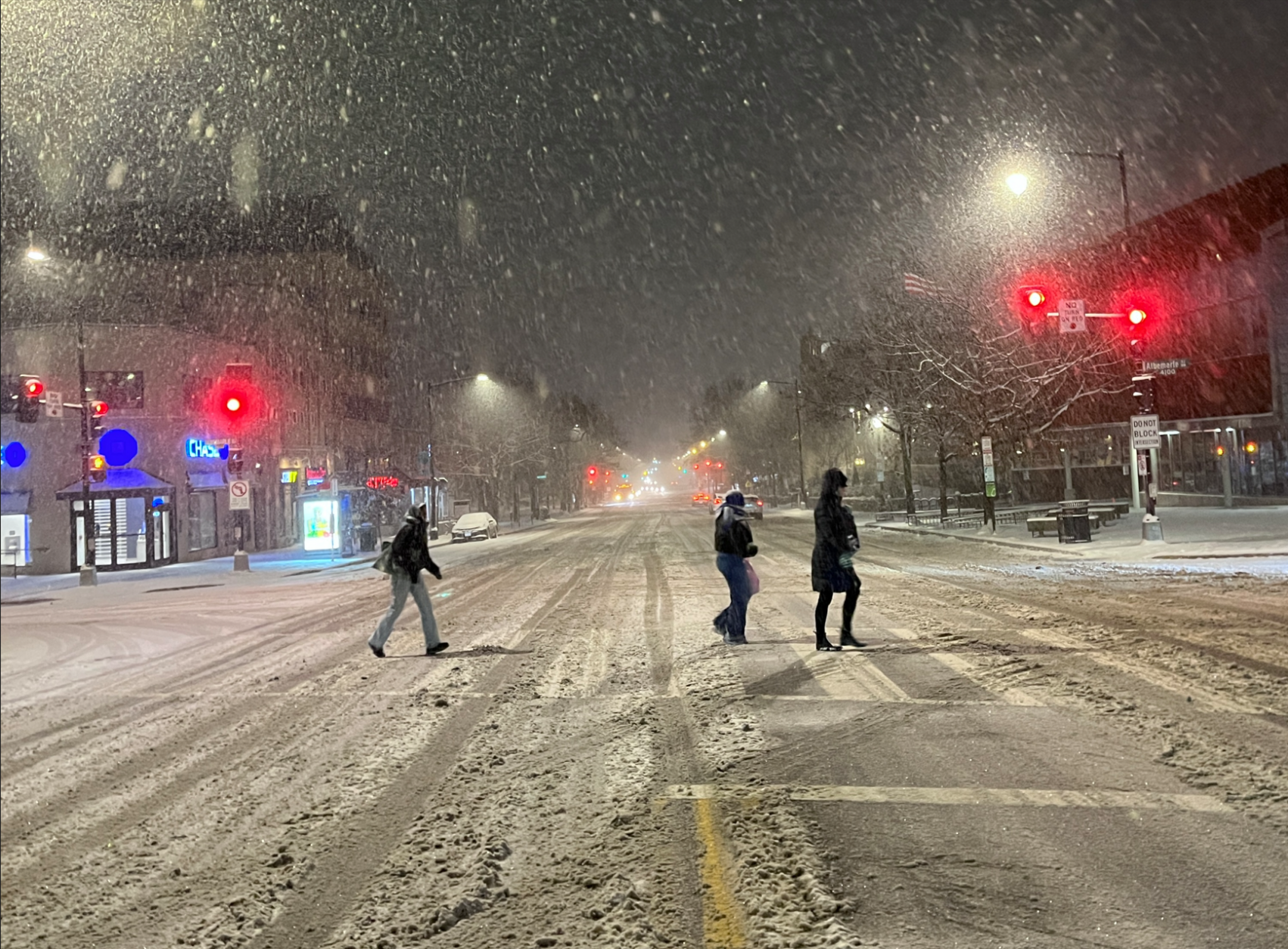
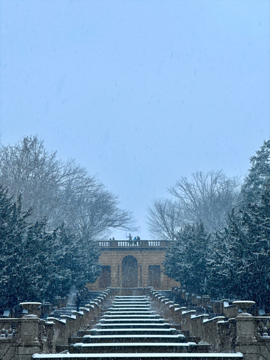
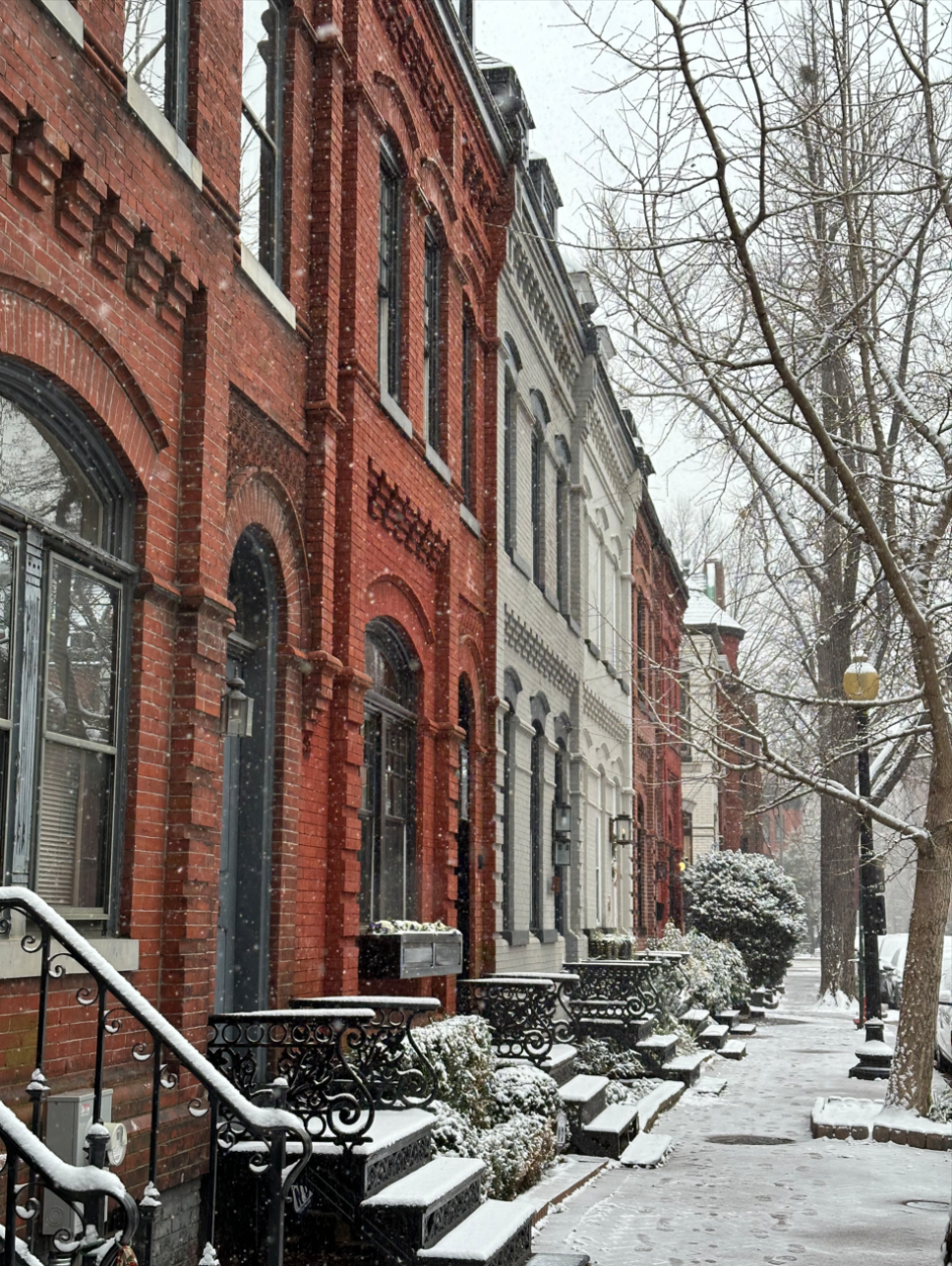
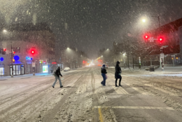
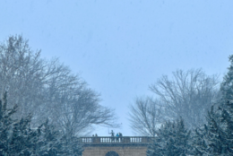
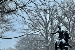
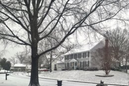
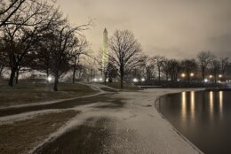
Snowfall intensified Monday evening as temperatures dropped, making for slushy roads and a messy commute in the D.C. area. Here’s what you need to know.
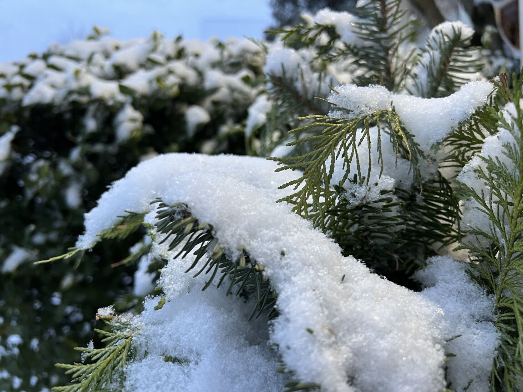
After steady morning snowfall Monday, a heavier round of snow fell on the D.C. region starting at around 6 p.m. and was expected to last until at least midnight, according to WTOP meteorologist Chad Merrill.
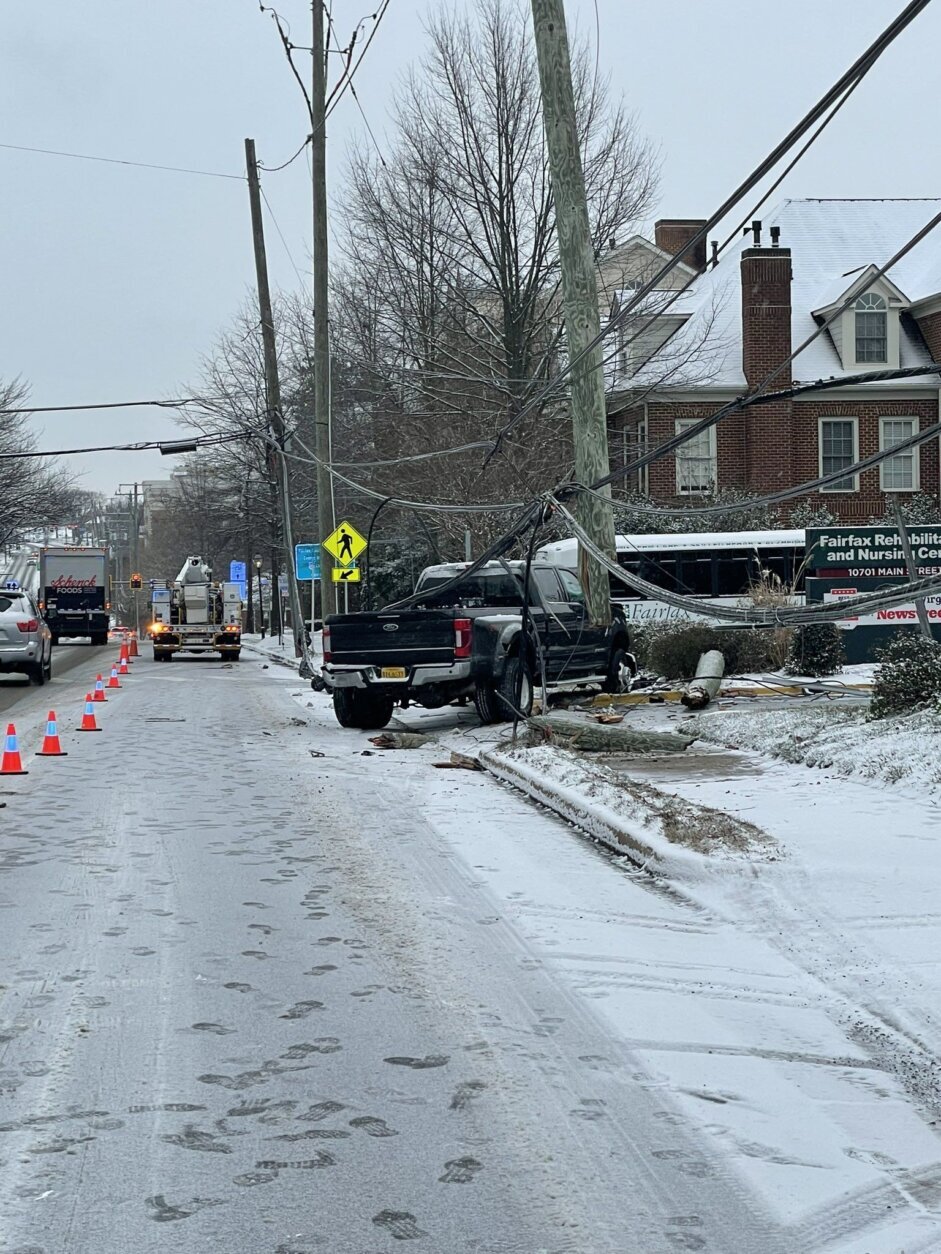
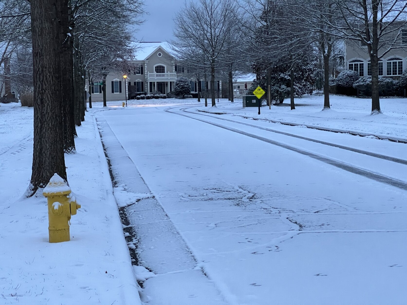
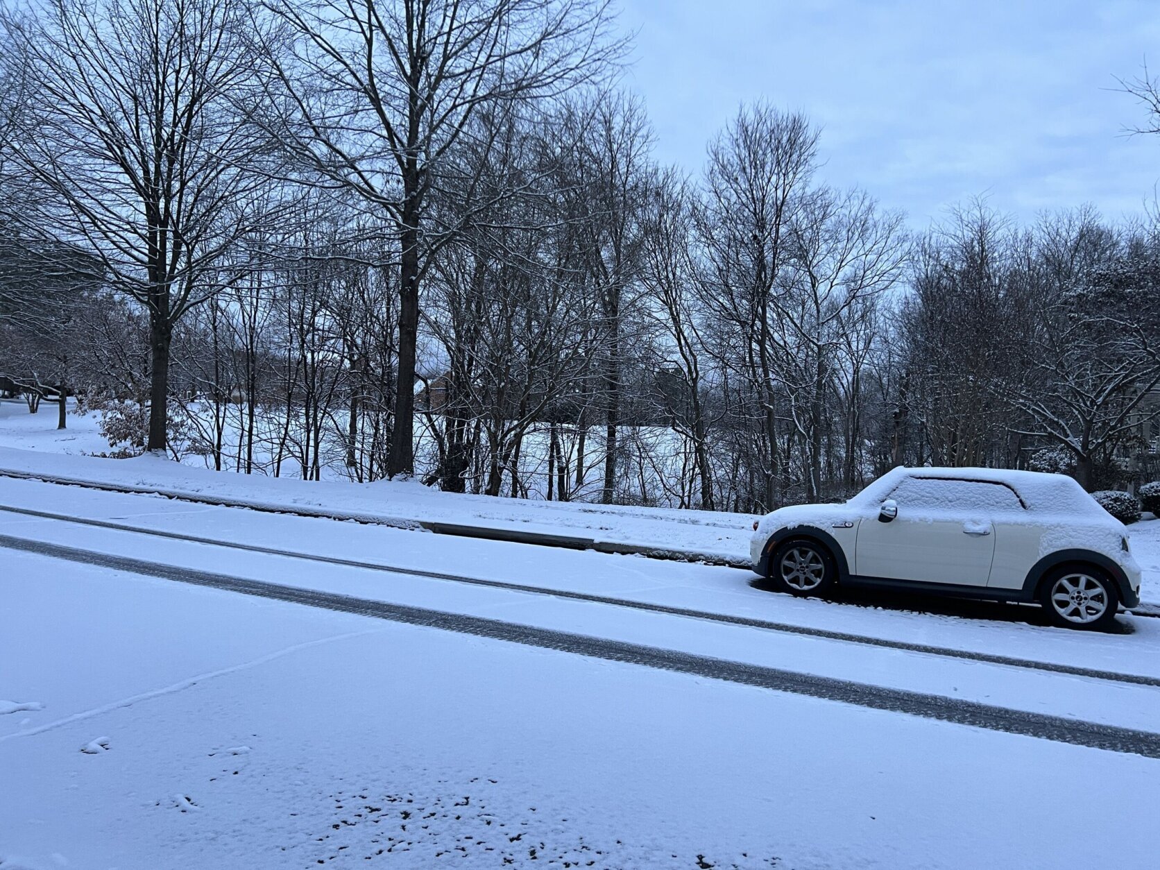
After sunset, area roadways became icy as pavement temperatures dropped — particularly bridges and overpasses, which tend to freeze first.
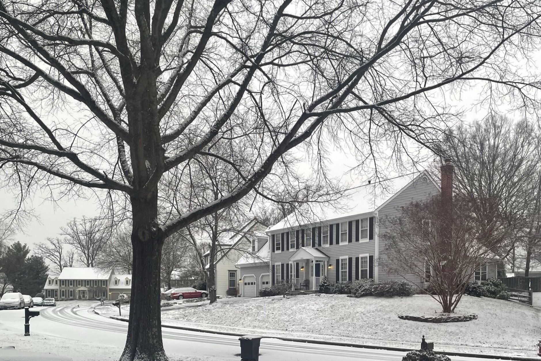
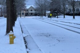
The National Weather Service issued a Winter Storm Warning until 10 a.m. Tuesday for most of the D.C. region. The warning says 4 to 6 inches of snow could hit some parts of the area, and drivers should plan for slippery road conditions.
Overnight, the snow is expected to transition to freezing drizzle and there’s a possibility of fog — adding to the risks on the roadway.
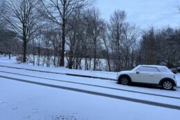
The continued snowfall combined with consistent cold temperatures could make for another treacherous commute with icy roads Tuesday morning.
“Pavement temperatures on most roadways will stay below freezing though, so this will be a high impact event for travel across the DMV through Tuesday morning,” said WTOP meteorologist Chad Merrill.
Temperatures will stay in the upper 20s to around the 30-degree mark throughout the day and winds should be light.
Winter Weather Advisories are in effect for all of the forecast area through early Tuesday morning. Light snow this morning may ease up around midmorning before steadier snow overspreads the area midafternoon through tonight. Visit https://t.co/ZOlvEShgSf for more details. pic.twitter.com/wyid0dWvAd
— NWS Baltimore-Washington (@NWS_BaltWash) January 15, 2024
Another arctic front is expected to push into the area Tuesday morning, bringing with it winds up to 30 mph.
“The increasing wind and periods of sunshine will help to dry the pavement on the main thoroughfares Tuesday afternoon, but the gusts will add to the wind chill,” Merrill said.
Anything left on the roads Tuesday evening has the potential to turn into black ice.
Wednesday looks calm, sunny and cold with temperatures only around 30 degrees again. Some more light snow showers are possible Thursday night into Friday and through the day Friday.
This week’s weather starts a stretch of wintry weather affecting the D.C. region and most of the U.S.
How much snowfall so far?
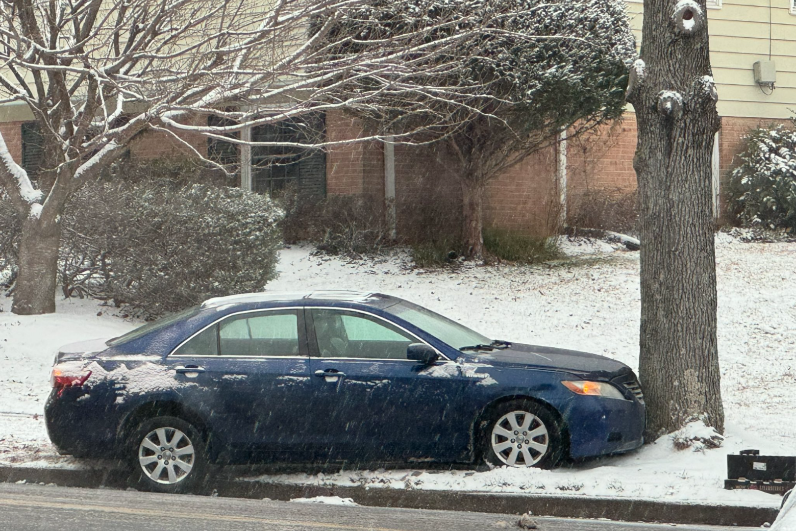
The snow started falling in some areas before 4 a.m. Monday and WTOP meteorologist Mike Stinneford said to expect 2-6 inches area wide.
Many areas had around 4 inches of snow as of 10 p.m. Monday, including Four Corners in Montgomery County, Maryland, and Haymarket and Gainesville in Prince William County, Virginia. The City of Fairfax had reached 4 inches by 8 p.m. Monday and Herndon, Virginia, had reached 3.5 inches by 9:30 p.m.
At around 7:30 p.m., the National Weather Service said in a post on X that 1.8 inches was measured at Reagan National Airport, which is the most snow the airport has seen in 728 days.
Closings and Delays
By late Monday evening, dozens of public school systems and private schools in the D.C. area had made changes for Tuesday. The Office of Personnel Management also announced the U.S. Federal Government would close Tuesday, with maximum telework in effect.
See the full list of closings and delays here.
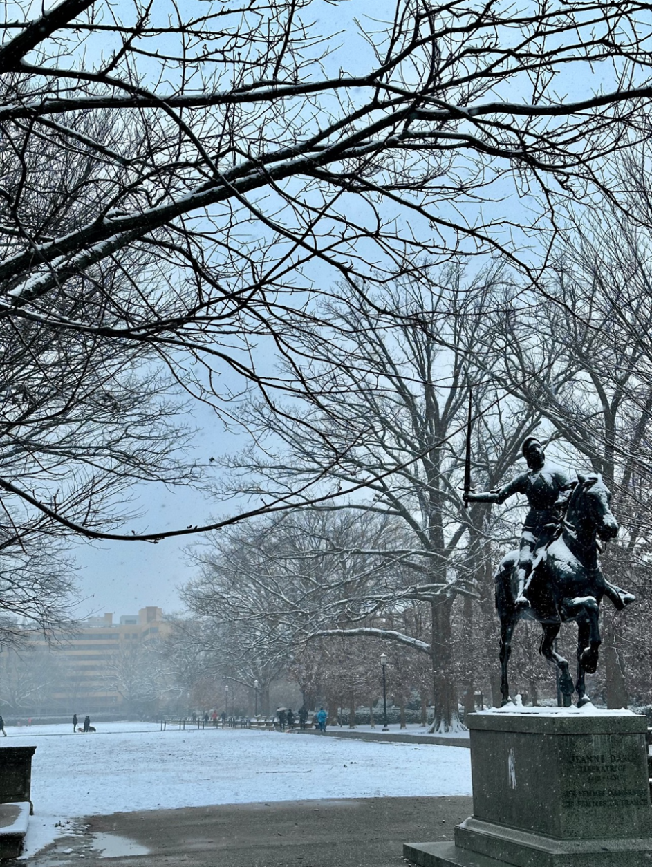
Some MLK Day celebrations snowed out
Most schools were closed and many workers were off Monday for the federal holiday. But some D.C.-area celebrations were affected by the winter weather.
Baltimore Mayor Brandon Scott said the city’s MLK Day parade was canceled.
D.C.’s MLK parade went on as scheduled.
The National Zoo announced Monday morning that it would be closed to the public due to “icy conditions.”
Road conditions worsening
The Maryland State Highway Administration spokesperson Charlie Gischlar said crews started pretreating highways in Central Maryland and out west on Sunday.
“Make sure you stay behind the plows,” Gischlar said, as they start to clean up the roads. “We do recommend that if you can work out of the house or take it off … that would be great because the less encumbered we are by traffic, the more effective we are at treating the roads,” he said.
Gischlar said if you do have to go out on the roads, slow down.
“The elevated roadways freeze first and use extra caution. Don’t be in a hurry,” he said.
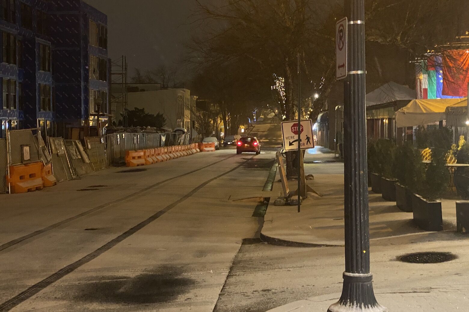
Both northbound and southbound lanes of the George Washington Parkway at Interstate 495 closed at around 6:30 a.m. on Monday morning in Fairfax County, Virginia, with all lanes blocked between the Capital Beltway and Spout Run Parkway due to road conditions, according to the Metropolitan Area Transportation Operations Coordination Program. Officials said to seek alternate routes as the road is expected to be closed for the entirety of the storm.
Metro announced Metrobus service would be operating under its “Severe Snow Plan,” with about 40 bus routes operating. Under the plan, bus service is limited to major roads, with detours only possible as road conditions allow. The changes took effect for Monday night and early Tuesday.
Road conditions also led to a series of crashes on area roadways Monday.
Drivers should slow down and use caution while driving and when walking outside.
“Watch your first few steps taken on steps, sidewalks, and driveways, which could be icy and slippery, increasing your risk of a fall and injury,” the National Weather Service said.
- Listen to WTOP online and on the radio at 103.5 FM or 107.7 FM.
- Current traffic conditions
- Weather forecast
- Closings and Delays
- Sign up for WTOP alerts
Delays at airports around the region
All three major airports in the D.C. region felt the effects of Monday’s winter weather.
The Federal Aviation Administration issued a ground stop at Ronald Reagan Washington National Airport, grounding all departures to the airport until 11:30 p.m. A ground delay was also issued until 11:59 p.m. Monday due to snow or ice mitigation or treatment. Departures were delayed by about 90 minutes on average.
The FAA also warned of de-icing taking place at both Baltimore-Washington International and Washington Dulles International airports. Aircraft departing both airports are being sprayed with de-icing fluid to remove snow and ice.
A wintry week to come
Agencies around the region warned people to be careful as they can expect to see snowplows on the roads.
D.C. Mayor Muriel Bowser activated a cold weather emergency that extends through Thursday, and she’s among the officials encouraging residents to stay indoors, if possible.
The city is also asking residents to check on neighbors and avoid using gas-fueled devices to heat their homes amid the winter weather. Some shelters and outreach services have already gotten underway to help D.C. residents get through the cold blast.
Virginia’s Department of Transportation announced it would be working hard to keep snow off interstate highways, limited-access roadways, primary roads, major secondary roads, low-volume secondary roads and subdivision streets for counties that could be hardest hit by the coming snow.
Meanwhile, the city of Fairfax worked to pretreat city roadways; and in Arlington County, residents are being advised on how to prevent their pipelines from freezing.
“Temperatures expected to drop this week,” the Arlington County’s department of environmental science warns. “Think of the pipes.”
VDOT is also advising that travelers limit their drives, and if drivers need to go out on the roads to drive slowly and keep a distance of five to 10 seconds between vehicles. Snow plows, the agency said, may also be on local streets and should not be passed except in an emergency.
Drivers were told that an emergency kit for your car — a flashlight with extra batteries, a cellphone, jumper cables, blankets and a shovel — should also be on hand while driving, just in case a breakdown occurs.
Forecast
TUESDAY MORNING:
Snow showers/freezing rain possible. Some minor additional accumulation possible
Wind: NE to NW 3-6mph
TUESDAY AFTERNOON:
Winds increase gusting up to 25+. Cloudy with some snow showers possible riding with the strong northwest winds.
Temps: Low 30s
Winds: Increase after lunch NW 10-20, gusts 25+
Wind Chill: 20s/teens
TUESDAY NIGHT:
Winds gradually calm overnight. Clearing.
Temps: Teens and 20s
WEDNESDAY:
Sunny but blustery. Very cold.
Temps: Around 30°
Winds: W10-20mph
Wind Chill: Teens
Current radar
WTOP’s Thomas Robertson, Jessica Kronzer, Tadiwos Abedje, Valerie Bonk and Ivy Lyons contributed to this report.
Get breaking news and daily headlines delivered to your email inbox by signing up here.
© 2024 WTOP. All Rights Reserved. This website is not intended for users located within the European Economic Area.