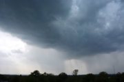
As the D.C. area moves away from the climatologically wettest time of the year, a new weather change is on the horizon — breezy to occasionally strong gusts. This week will bring the first taste of typical autumn wind.
A seasonably strong cold front, currently pushing into the northern Rockies, will swing across the U.S. and arrive in D.C. on Thursday.
Unlike many summertime systems which stall and squeeze out heavy rain that can trigger flash flooding, this autumn front promises little in the way of rain.
Instead, it will progress through the District, bring a noticeable drop in humidity and temperature and an increase in winds. Northwest winds will be breezy in its wake, with gusts up to 30 mph to 35 mph.
This front is just a reminder of the change in seasons and weather threats along these boundaries.
As seen in the image below, the average wind direction in the summer is Southwest, yielding high heat and humidity, which contribute to heavy rain when fronts approach. However, September through April brings a change in the dominant wind direction, with a Northwest wind more common.
This happens because of the frequency of cold fronts that cross the D.C. area in the fall, winter and spring.
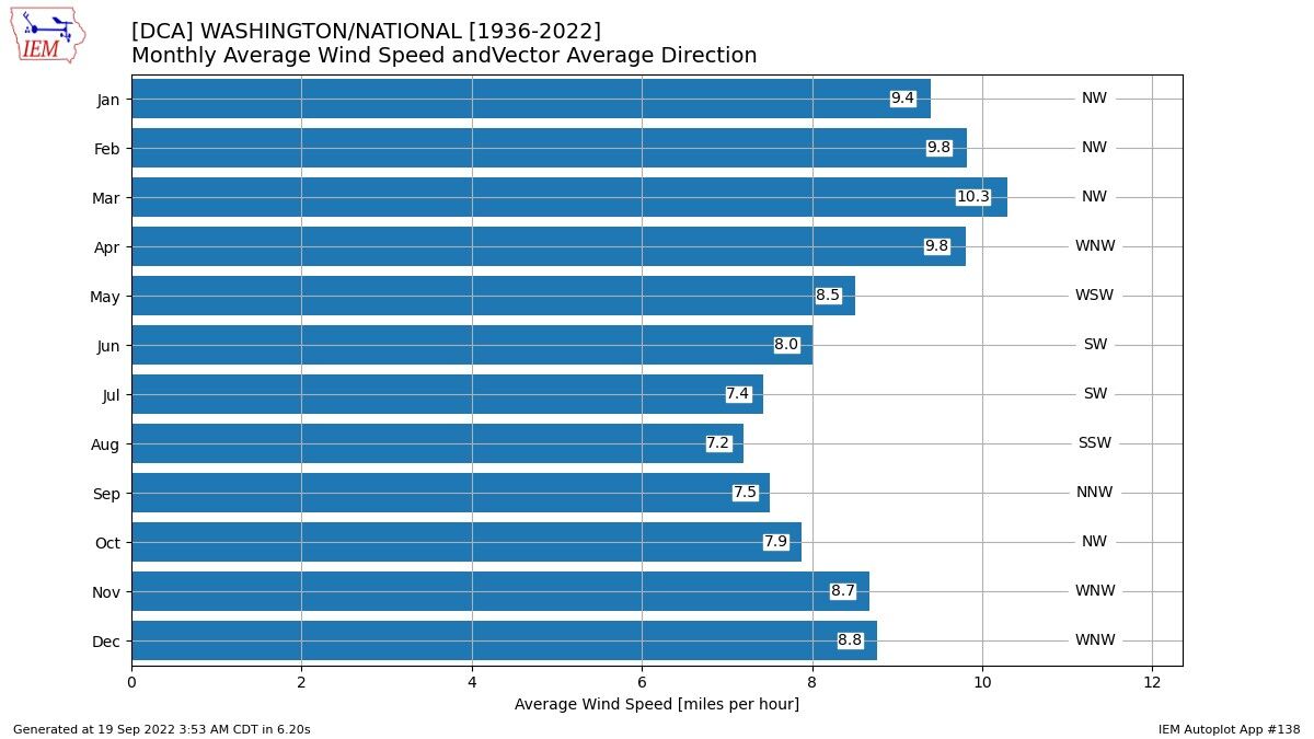
Average wind speed increases in September as the D.C. area starts to enter the cooler weather season.
The strongest winds on average usually occur with weather systems in March as the region heads out of the cold weather season, with an average wind speed of 10.3 mph.
Large pressure and temperature gradients along fronts are responsible for the biggest wind events, which on occasion can trigger Wind Advisories and High Wind Warnings that signal the potential for infrastructure damage. Sustained wind in excess of 40 mph and gusts over 58 mph are the triggers for High Wind Warnings.
As the area progresses through autumn, the winds will start to whistle more and soon leaves will be blowing off the trees.
The Storm Team 4 weather team will keep District residents abreast of any high wind alerts during those unseasonably strong cold frontal passages.