Severe weather swept through the D.C. area Thursday on top of a heat advisory and temperatures that felt like 105 degrees. Here’s what you need to know.
- A flash flood warning has been issued for D.C., parts of Montgomery and Prince George’s counties in Maryland; and Arlington County in Virginia until 1:15 a.m. Friday.
Heavy rain, along with thunder and lightning, rattled parts of the region Thursday night.
D.C. Fire and EMS said that four people were hurt in an apparent lightning strike near the White House.
The day ends with some patchy fog Thursday night and temperatures in the 70s.
Friday will be partly sunny, hot and muggy. Temperatures will sizzling in the 90s, with heat index values near 100.
“The combination of heat, humidity and a weather disturbance may trigger another round of more thunderstorms Friday afternoon and evening,” Storm Team4 Meteorologist Steve Prinzivalli said.
These could be severe, with gusty winds, downpours and dangerous lightning, he said.
As for the weekend, it will be steamy and stormy. Saturday looks to be partly sunny with a 40% chance of afternoon and evening storms; any storms could be severe again. Highs will be in the lower 90s with heat indexes approaching 100.
The second half of the weekend will be partly cloudy, sizzling, and muggy with highs in the lower to middle 90s and heat indexes of more than 100. Storm chances Sunday will be lower at 20%.
- Listen to WTOP online and on the radio at 103.5 FM or 107.7 FM.
- Weather forecast
- Sign up for WTOP alerts
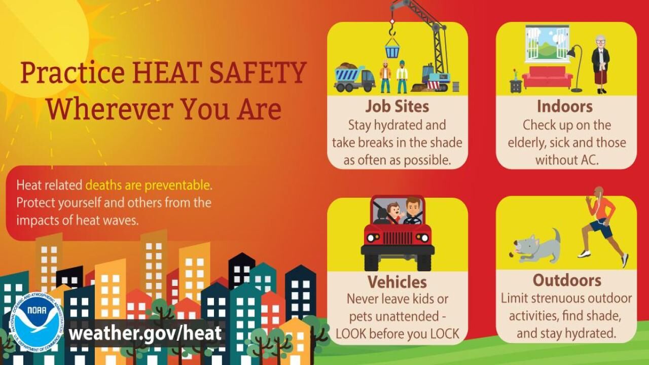
- How to avoid heat stroke, heat exhaustion
- See an interactive map of D.C.’s cooling centers
Keeping Cool
Parts of the D.C. area will have cooling centers open or make other accommodations to escape the heat.
A list of District cooling center locations is available on the D.C.’s heat plan website.
In Maryland, the Prince George’s County Department of Parks and Recreation has a list of cooling centers available. Residents are asked check-in at the facility’s front desk when they arrive.
Anne Arundel County’s cooling centers are open throughout the summer. Find a list of those locations on the county’s cooling website.
In Virginia, Fairfax City has opened special cooling centers to help keep residents safe. Find the locations and hours on the city’s website.
Forecast
THURSDAY NIGHT: Heavy rain, isolated flash flooding and gusty winds expected between 6:30 p.m. and 10 p.m. Highs in the mid 70s.
FRIDAY: Increasing clouds. Late afternoon-evening showers and thunderstorms, with torrential downpours and isolated gusty winds. Highs in the upper 80s to lower 90s.
SATURDAY: Becoming mostly cloudy. Scattered storms later in the day. Heavy rain possible. Highs near 90.
SUNDAY: Partly cloudy, warm and humid. Isolated storms later in the day. Highs near 90.
Current weather
WTOP’s Abigail Constantino contributed to this report.