Thanks to a hot and dry September, here is a weather term you might not be familiar with: flash drought.
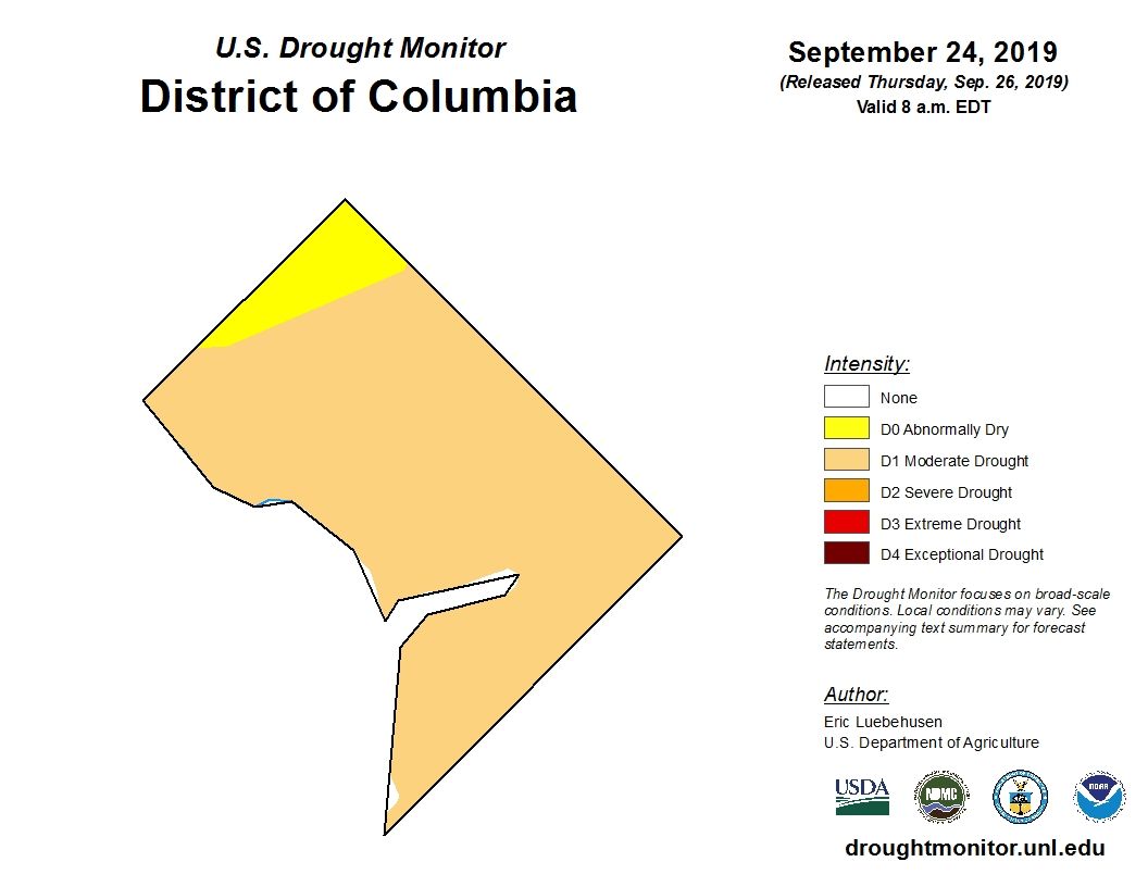
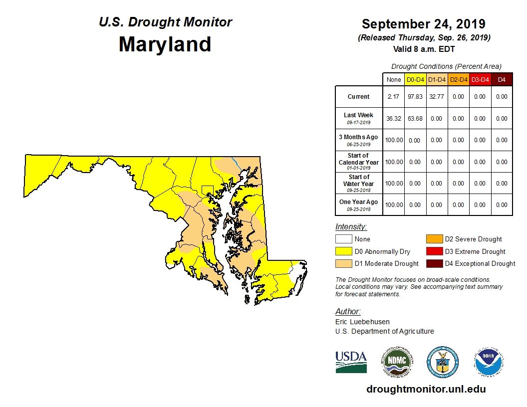
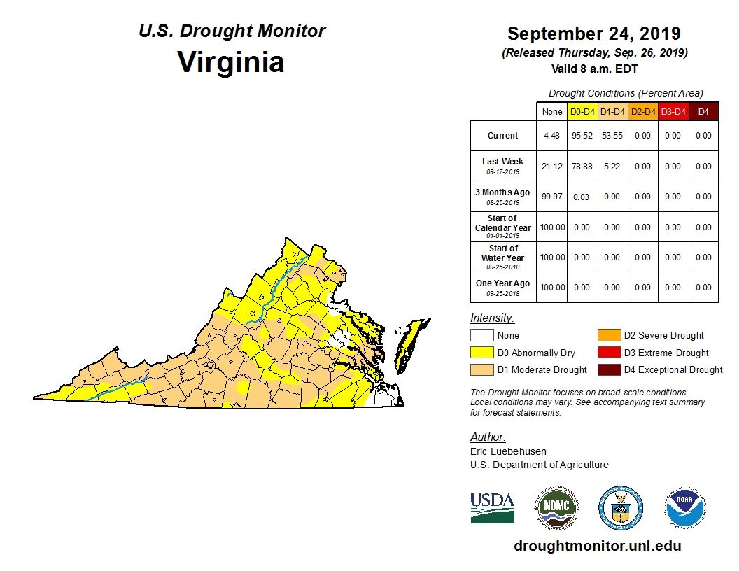
A flash drought is a drought that develops in a relatively short period of time. The National Weather Service said the recent high temperatures and a lack of rain have led to a flash drought in a large part of the region, including D.C. and parts of the Maryland and Virginia suburbs.
Some parts of the region are considered to be in moderate drought, while others are simply abnormally dry.


The effects of the drought are building at a fast pace, too.
Yards and gardens have gone brown, farmers are reporting stressed crops and streamflows are below normal in many spots.
Last year was D.C.’s wettest year on record. July 2019 was fraught with rain, but someone turned off the faucet in September.
- Listen to WTOP online and on the radio at 103.5 FM or 107.7 FM.
- Current traffic conditions
- Weather forecast
- Closings and Delays
- Sign up for WTOP alerts
“It’s almost as if it hasn’t rained in the month of September at all,” said Storm Team4 meteorologist Matt Ritter. “Only 0.11 of an inch of rainfall officially, that’s 3.23 inches below average for the month.”
If that total holds through Monday, it would mean September 2019 would tie 2005 for the driest September on record at Reagan National Airport.
There is a chance of rain this weekend, Ritter said, but nothing big.
“Some scattered showers and storms will be moving through the area, but the key word is scattered. Not all of us will get them, and those who do won’t see that much.”
The National Weather Service said drought conditions will likely get worse before they get better. Hotter than normal temperatures are expected through early in October, with little or no rain.


