After the heavy rain that led to flooding in several areas along the shores of the Chesapeake Bay, the Potomac River and the Atlantic coast, the D.C. area is not in the clear just yet. Here’s what you need to know to start your Halloween weekend.
The bulk of Friday’s rainfall concluded by early Saturday, but tidal and coastal flooding continues with moderate to major flooding in the forecast through at least Saturday, the National Weather Service said. A flood warning remains in effect for parts of Prince George’s County, Maryland, until 7:30 a.m. Saturday.
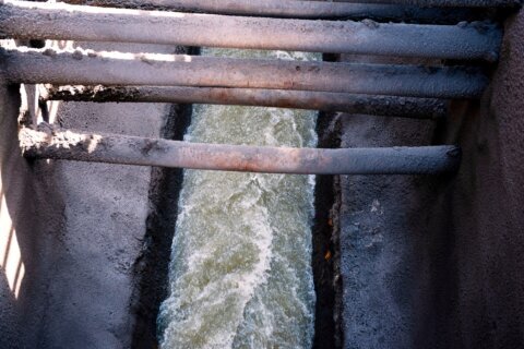
Rivers will be running high from Friday’s rain, and with the chance of a few more showers Saturday, some larger streams and small rivers will continue to rise.
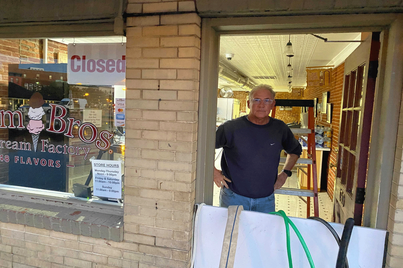
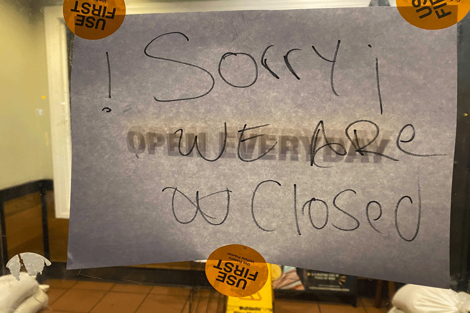
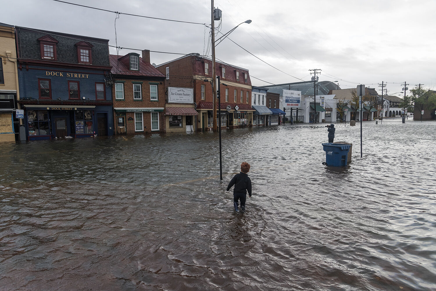
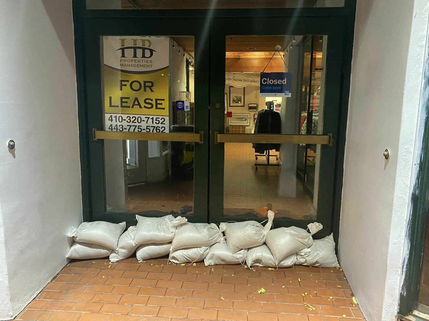
On Saturday morning, a friend of the owner of Storm Bros. Ice Cream on Dock Street in downtown Annapolis, Maryland, told WTOP’s John Domen that they were cleaning up from Friday but bracing for more flooding.
“Most of the time they’ve been able to keep up with it, but this was a little more than what he was expecting,” said Jay Mahaffey.
He said that the owner called him Friday afternoon and asked him to help out one of the managers who had been at the shop since 2 a.m. on Friday.
Mahaffey arrived with an extra water pump around 7 p.m. Friday and stayed through 7 a.m. on Saturday morning to help clear the water.
“I went out to Lowe’s and purchased an extra pump came in around 7 p.m. last night been here till seven this morning,” Mahaffey said. “Just trying to keep the water out. We have probably four or five pumps running. We did pretty good. We saved the ice cream, but we had to shut all the freezers in the customer side of the store down so just so that we wouldn’t get any electrical shorts or anything like that.”


Watches and Warnings
- In Maryland, parts of Maryland, including west central Anne Arundel counties and southern Baltimore are under a flood warning through the weekend.
- A coastal flood warning for the most of the region ends at 8 a.m. but the warning will remain through Sunday morning for in Anne Arundel County, Maryland.
On Friday, Maryland Gov. Larry Hogan declared a state of emergency for areas that are under a coastal flood warning throughout the weekend.
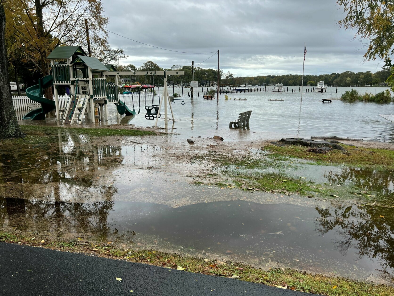
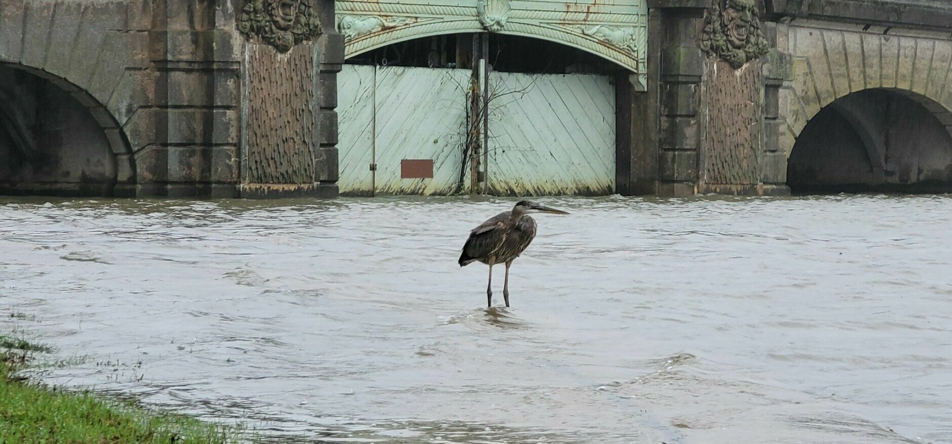
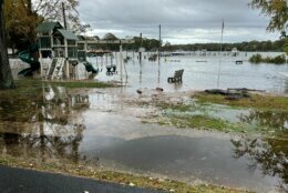
The highest tides in 10 to 20 years are expected, with threats including the inundation of water on roads, sidewalks, docks, marinas, and residential and commercial areas, a news release from Hogan’s office said. The National Weather Service forecast that the region could see the worst tidal flooding since Hurricane Isabel in 2003.
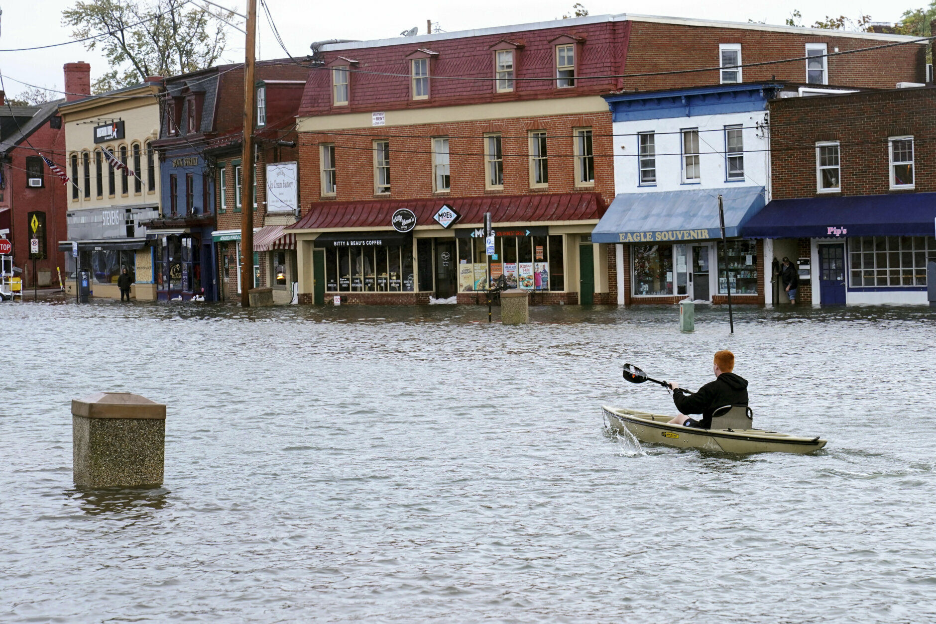
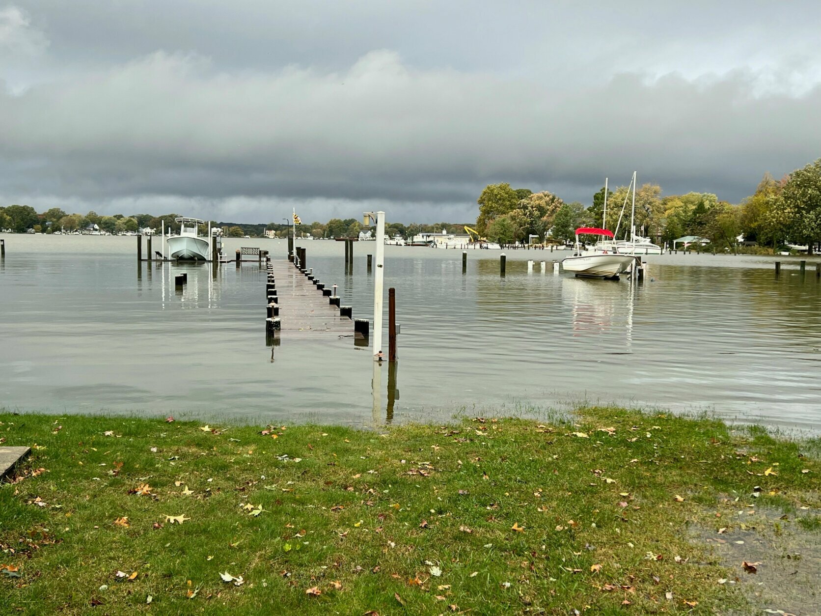
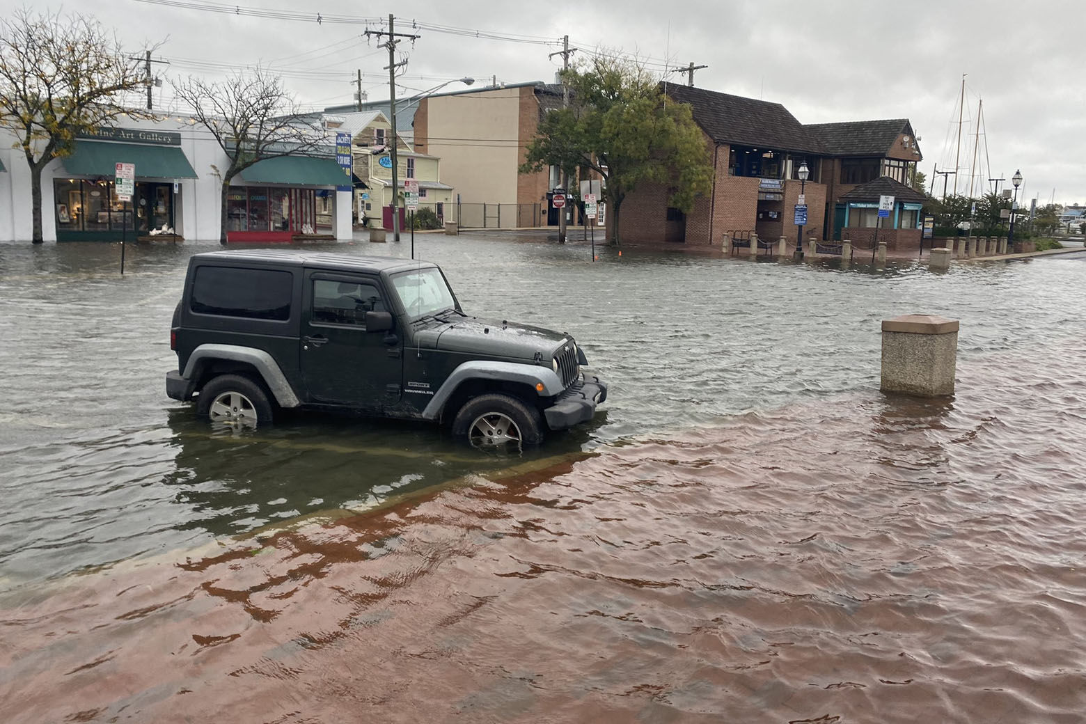
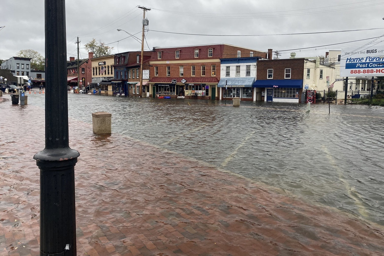
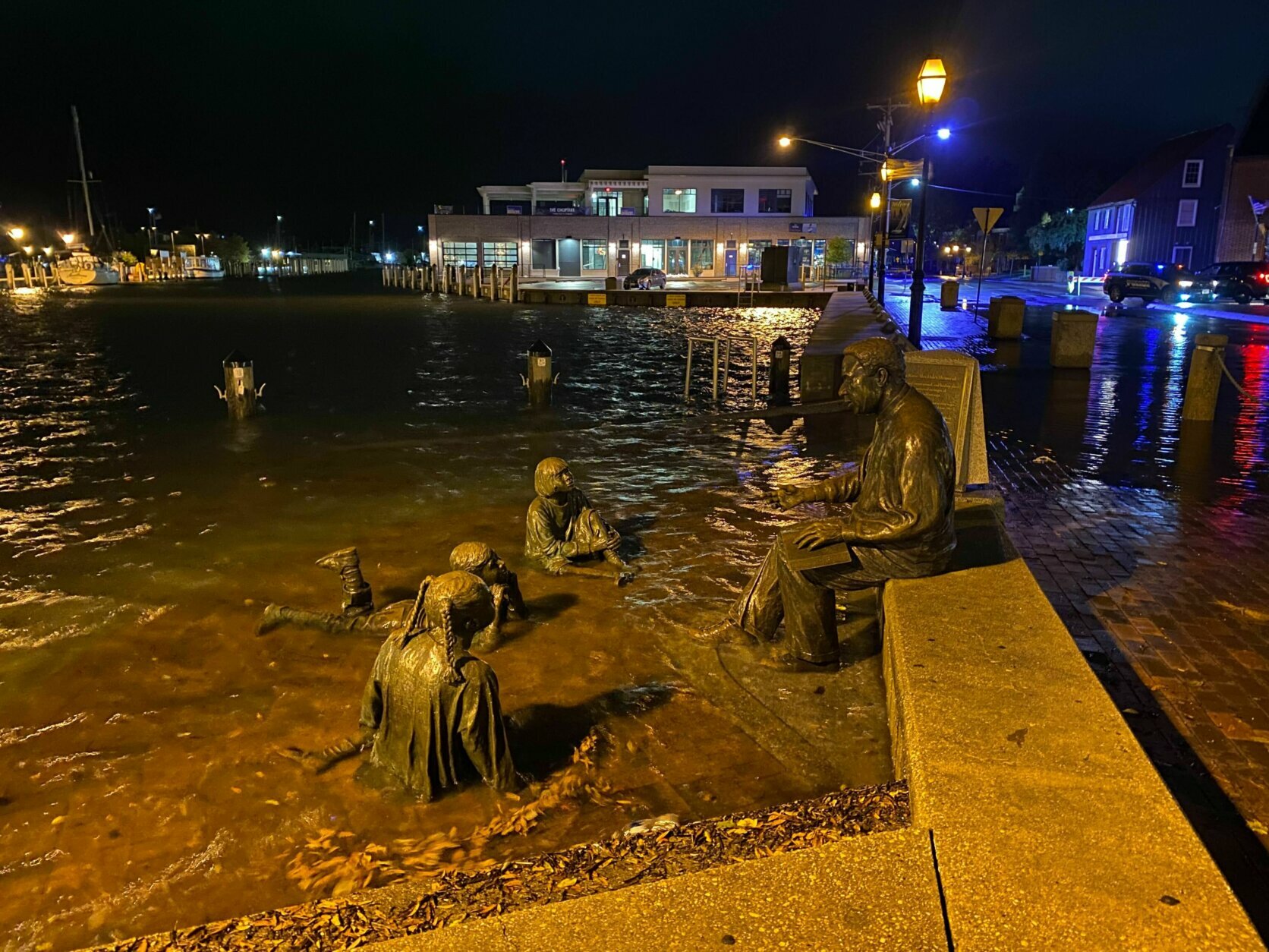
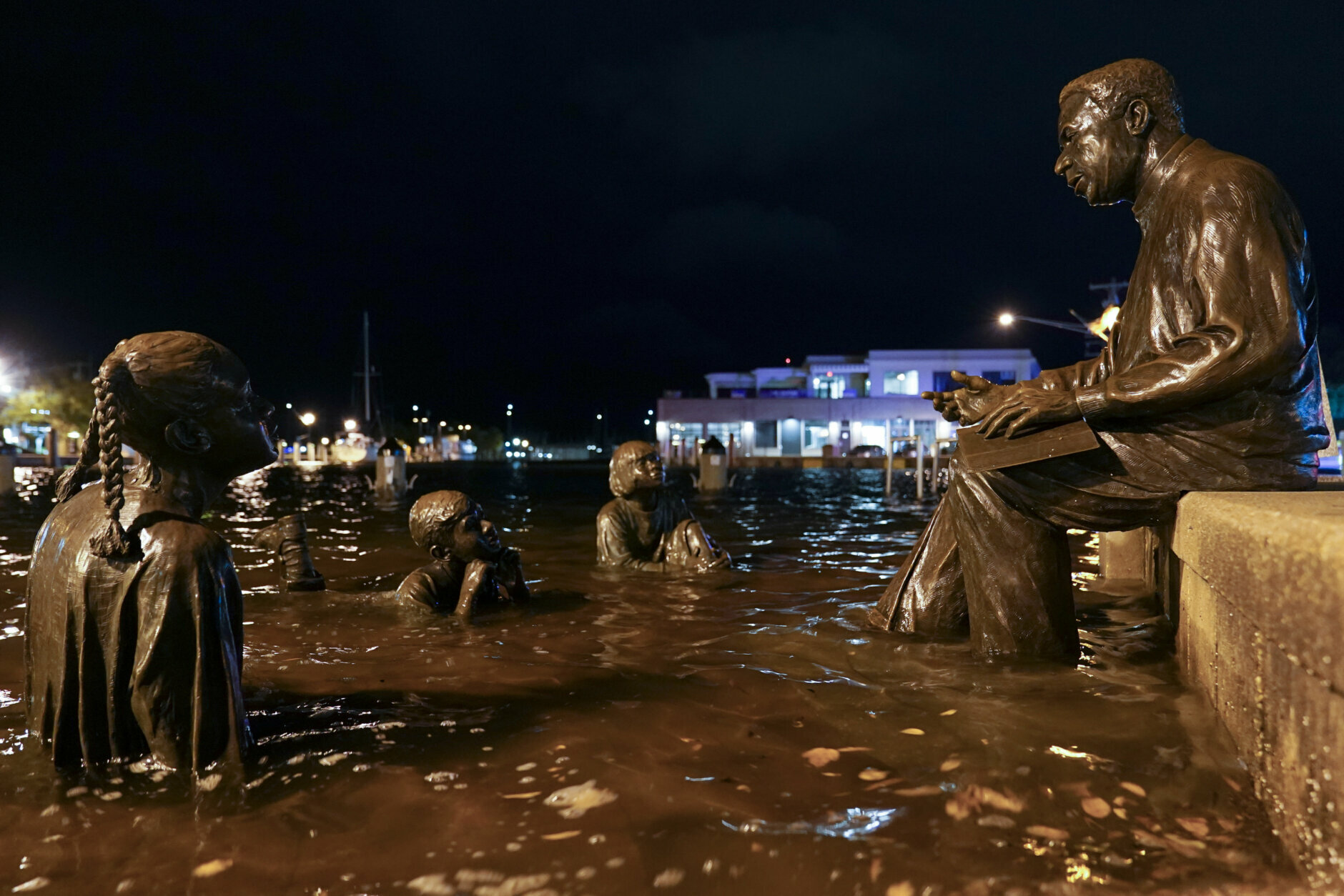
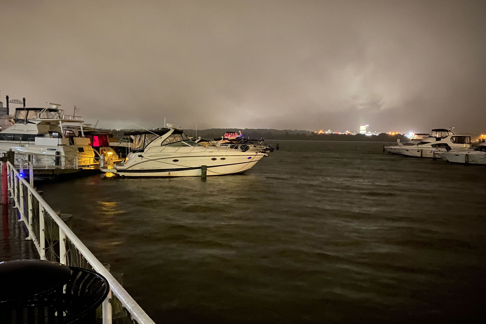
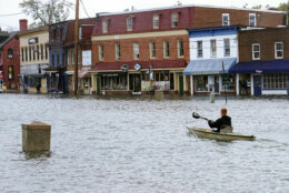
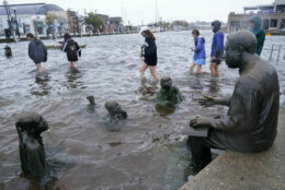
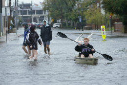
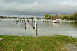
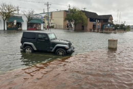
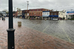
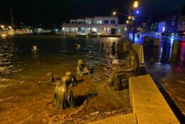
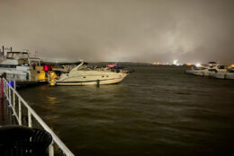
The water near downtown Annapolis is higher than the boardwalk in some areas and tides are three feet above normal levels Saturday morning.
But even better view of the waves bouncing through the dock pic.twitter.com/nTA8Q7V4nD
— John Domen (@JDDsays) October 30, 2021
In addition, watch out for slick roads in may locations.
While a bulk of the heavy rainfall has concluded, additional rain will track from south to north tonight. Additionally, tidal/coastal flooding continues with moderate to major flooding in the forecast! Water levels remain elevated through at least Sat. #MDwx #VAwx #WVwx #DCwx pic.twitter.com/uZOSTxs7BF
— NWS Baltimore-Washington (@NWS_BaltWash) October 30, 2021
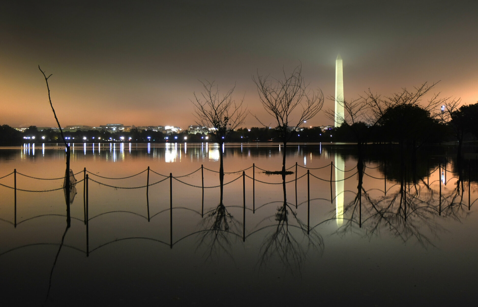
The weather on Friday topped some flooding records in the area, especially surrounding the Chesapeake Bay.
Low pressure and persistent onshore winds resulted in a historic coastal flood event along portions of the Chesapeake Bay and tidal Potomac River. Coastal flooding is expected to continue through early Sunday. To put this event into historical context: https://t.co/hxLTokshMd pic.twitter.com/HPLc9aMosE
— NWS Baltimore-Washington (@NWS_BaltWash) October 30, 2021
Saturday will be mostly cloudy and breezy with a few showers throughout the day. Highs will be in the upper 50s to low 60s.
It will be cloudy start to Halloween on Sunday before chilly but dry conditions for the trick-or-treating hours! You can check out the Halloween forecast here.
- Listen to WTOP online and on the radio at 103.5 FM or 107.7 FM.
- Current traffic conditions
- Weather forecast
- Closings and Delays
- Sign up for WTOP alerts
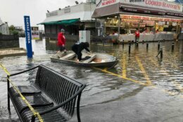
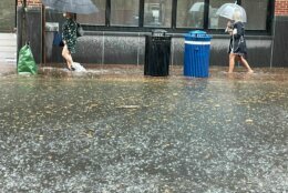
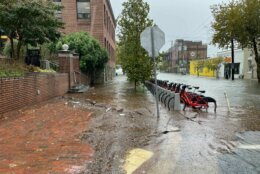
Flooding in DC, Maryland and Virginia
This video is no longer available.
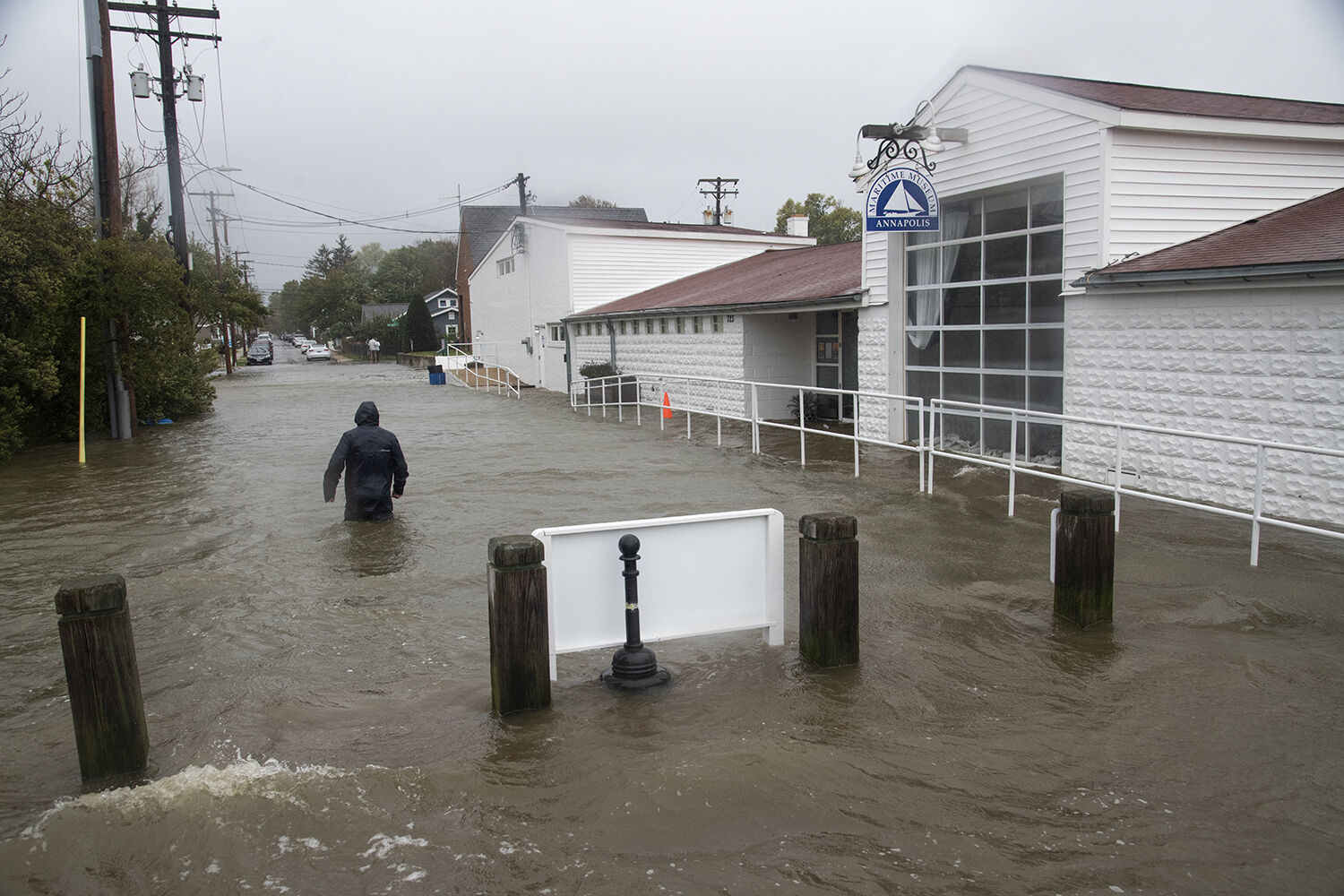
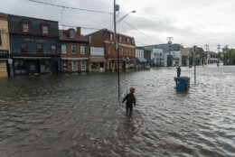
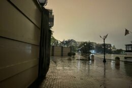
On Friday morning, Annapolis experience some “extreme conditions,” with floodwaters submerging streets around the city dock in what Mayor Gavin Buckley said was “probably the highest tides we’ve seen in decades.”
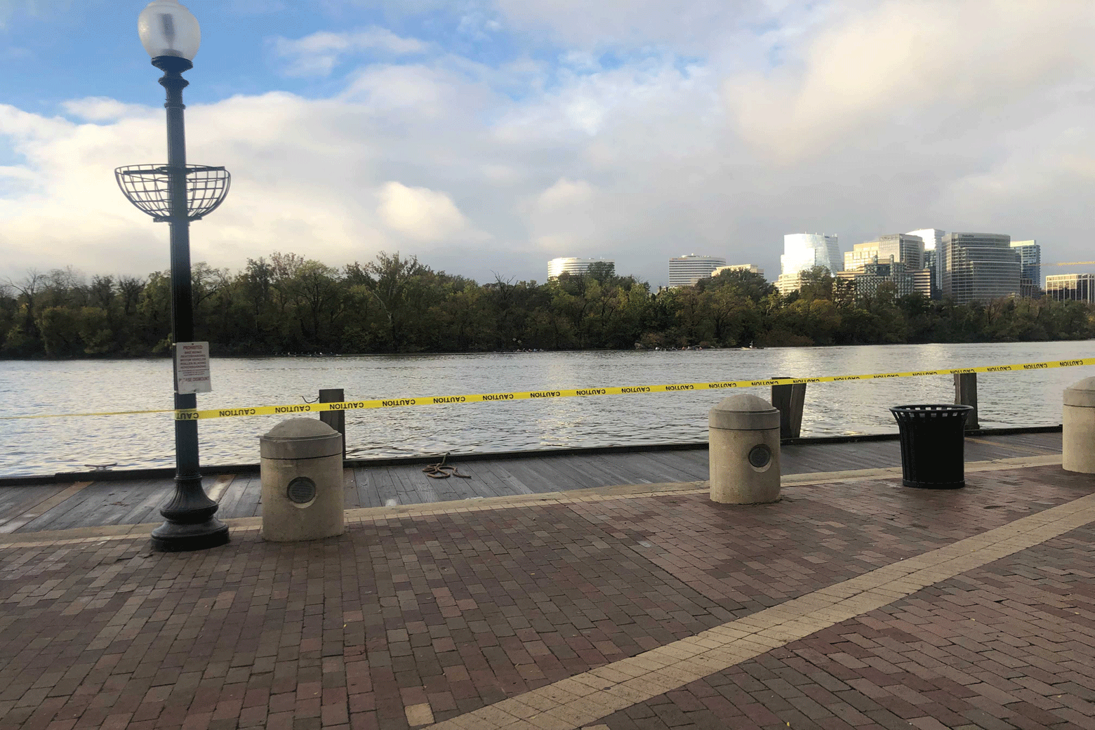
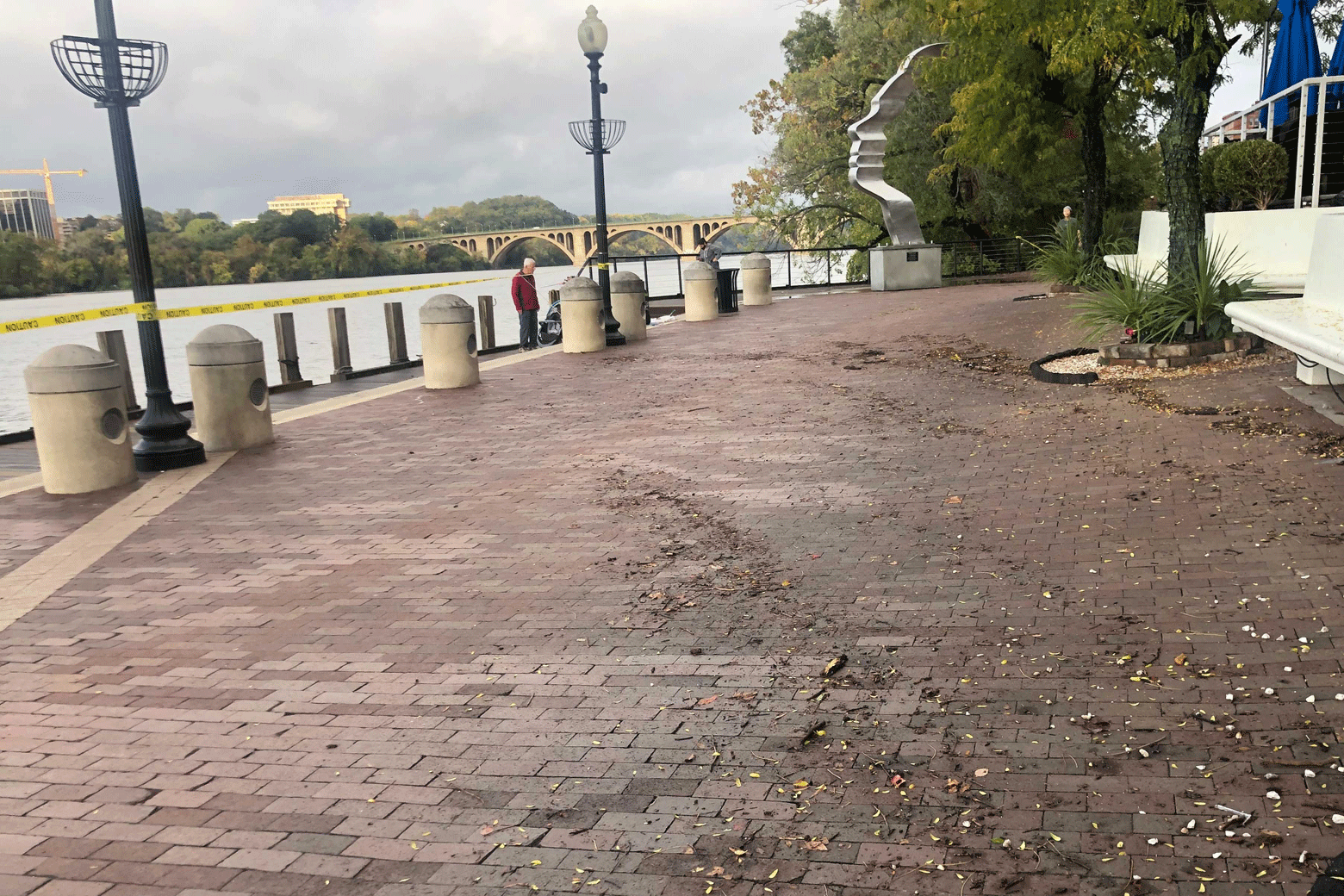
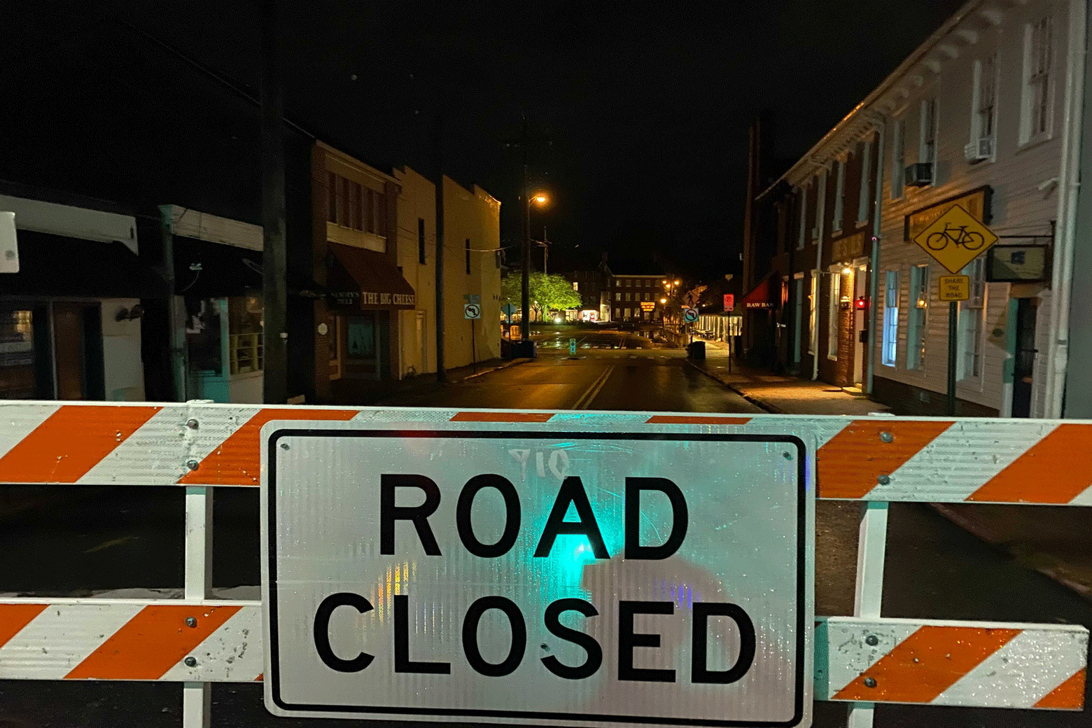
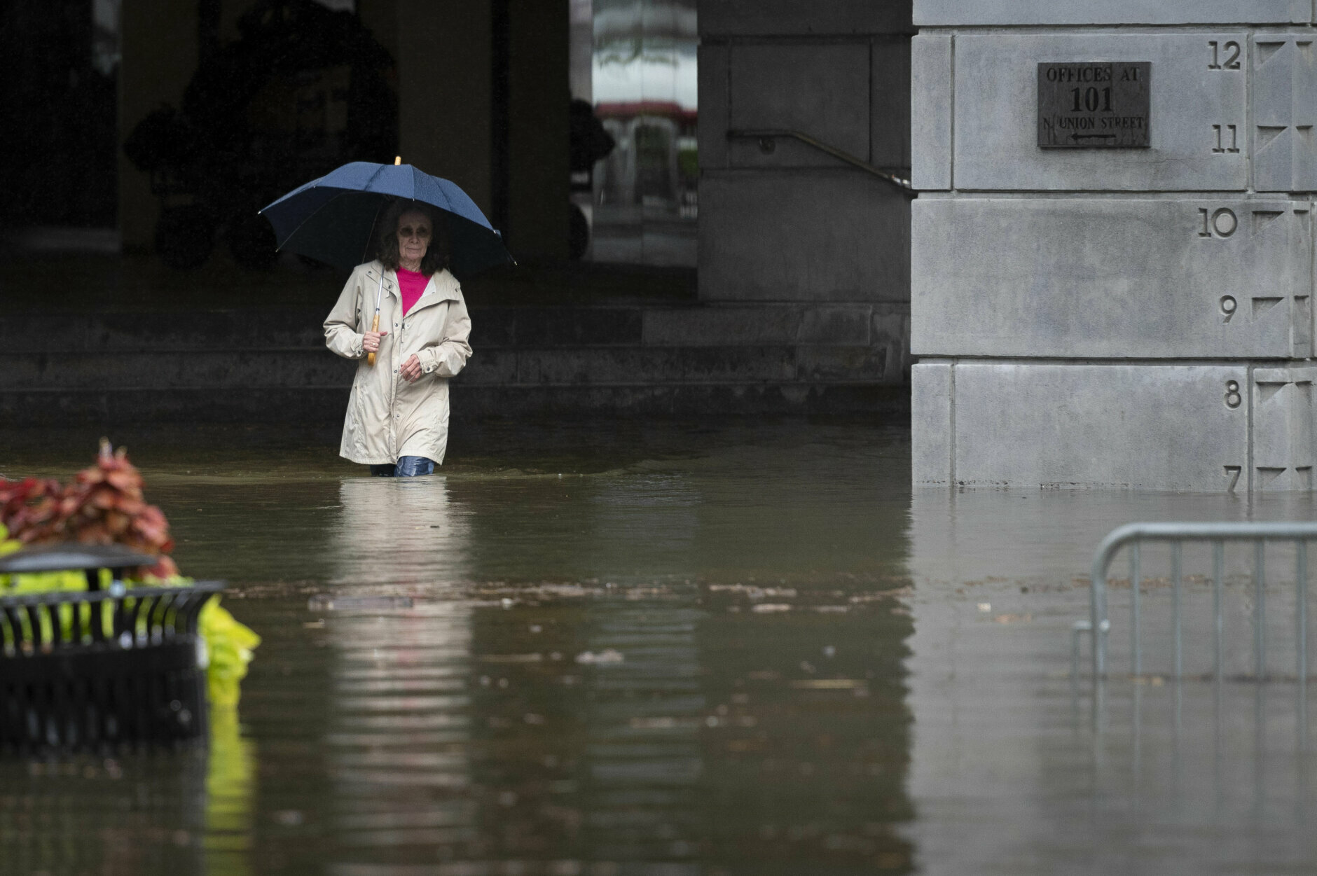
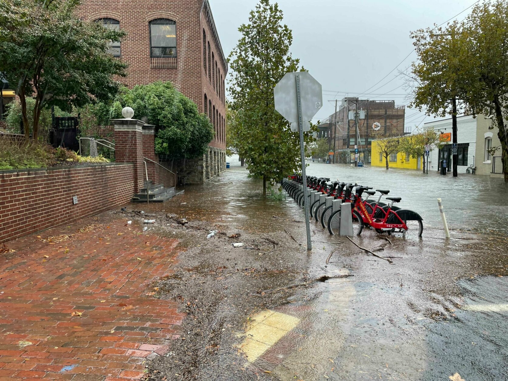
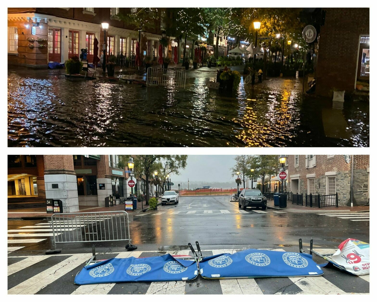
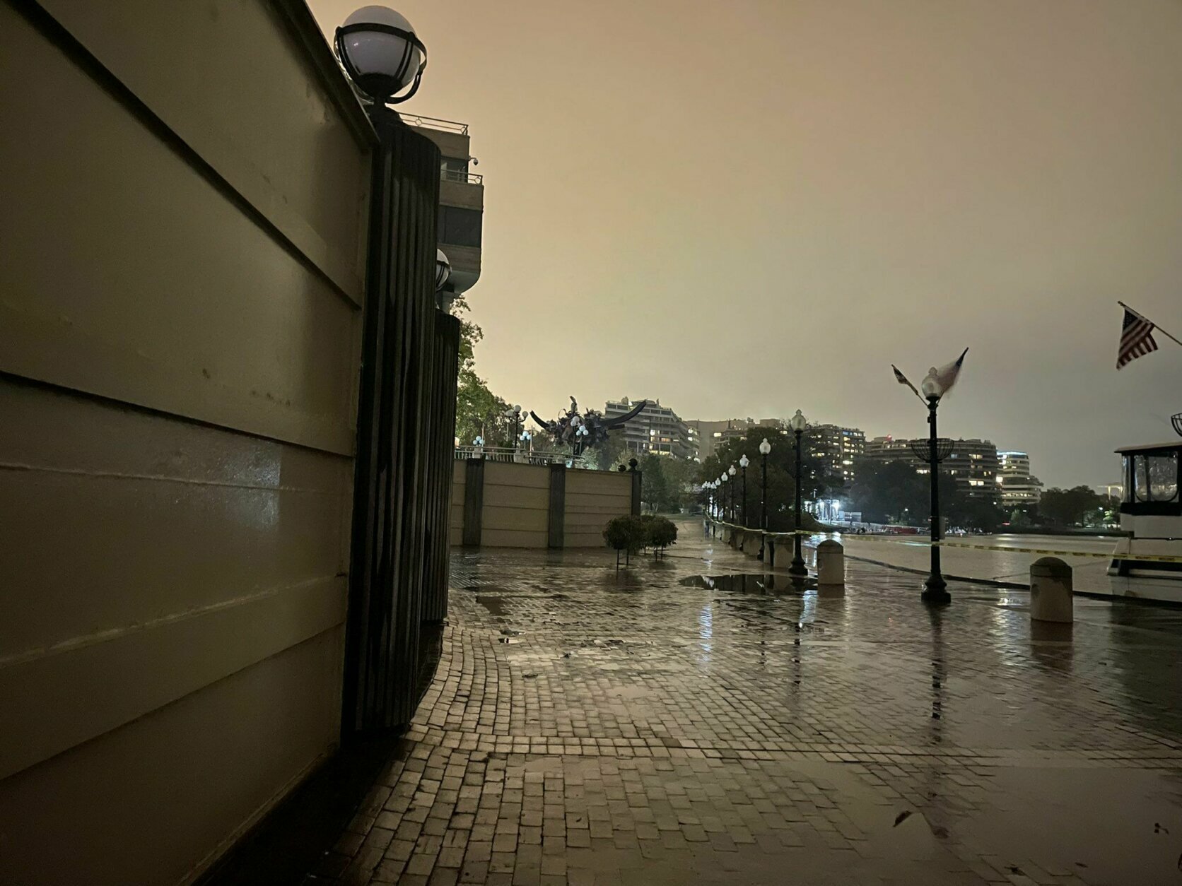
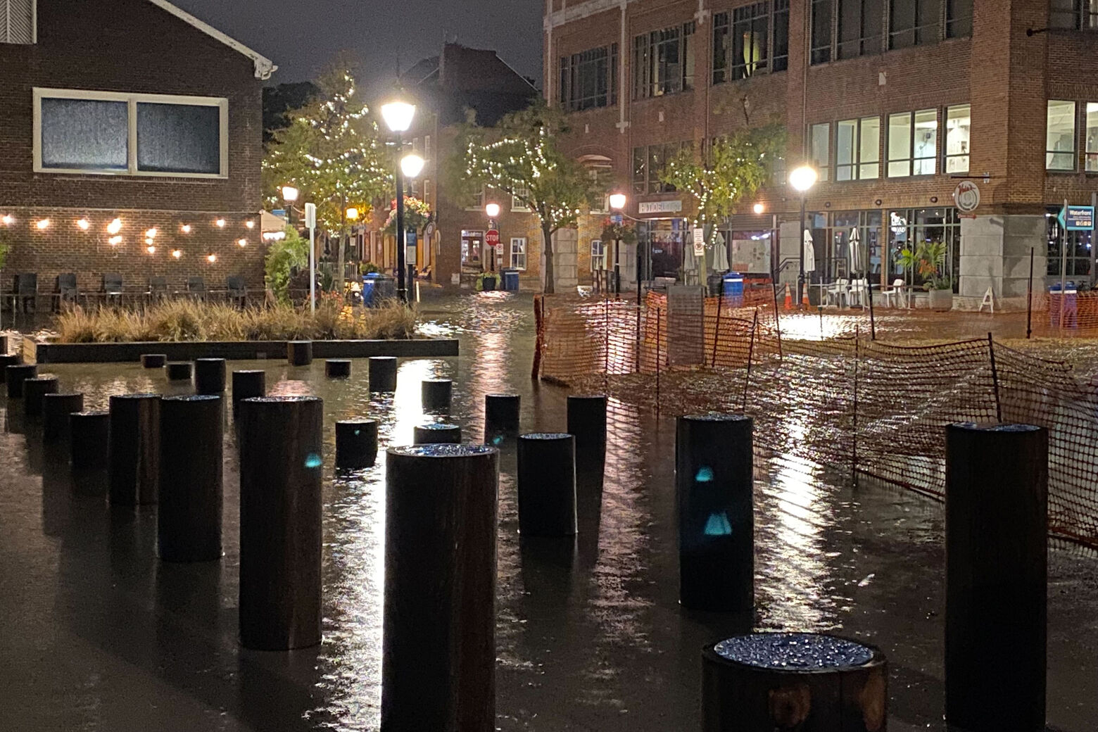
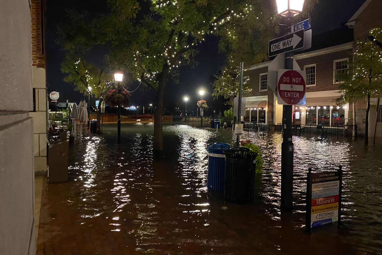
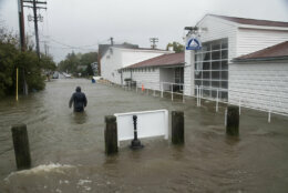
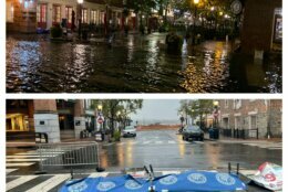
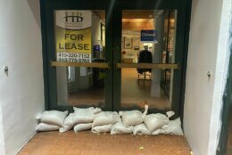
There were similar scenes in Old Town Alexandria in Virginia, at high tides both in the early morning and shortly after 3:30 p.m. Friday
Already high standing water had closed several streets in Old Town, including Union Street between Queen Street and Prince Street, Alexandria Police said.
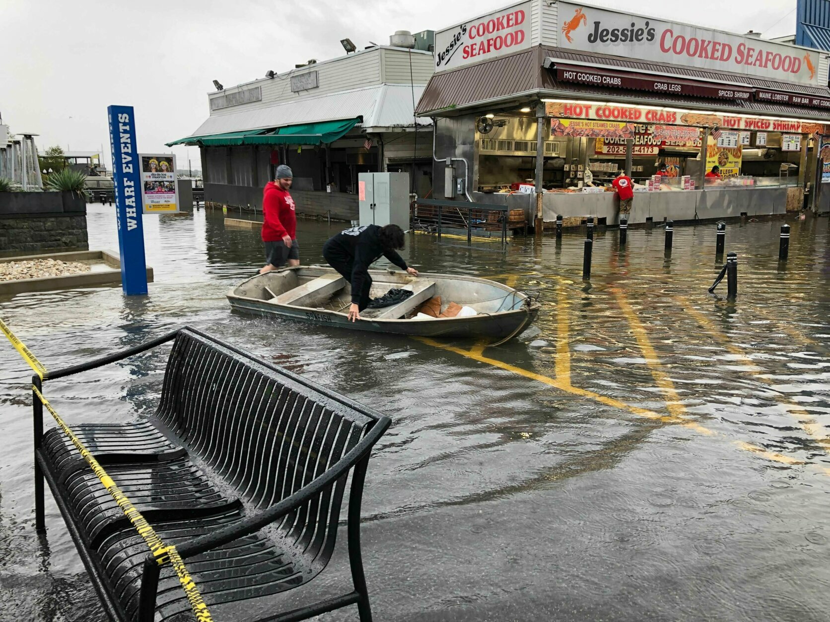
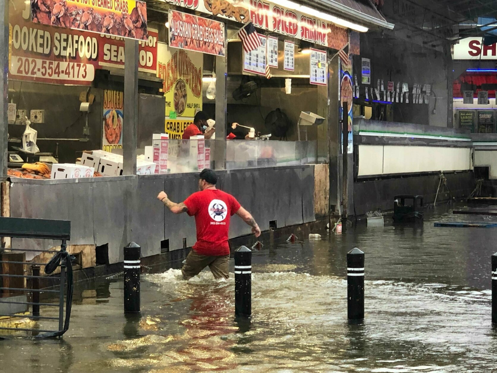
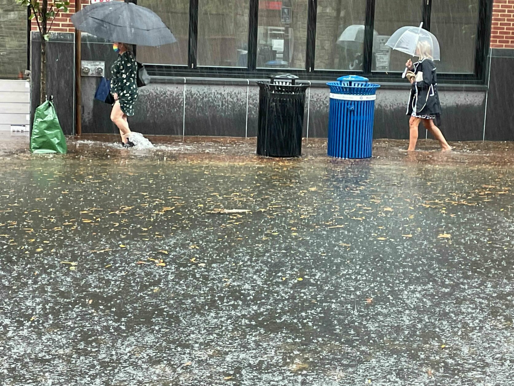
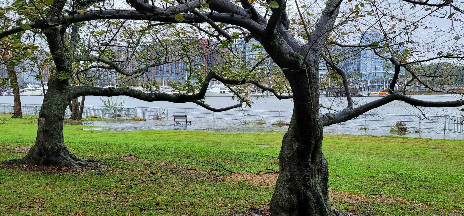
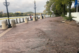
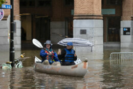
In D.C., where high tide arrived at 3 p.m., parts of The Wharf in Southwest were largely underwater, including the historic Fish Market.
Forecast
- Saturday: Mostly cloudy. Breezy and cooler. A few scattered showers or drizzle. Highs in the upper 50s to mid-60s.
- Sunday: Mostly cloudy early then gradual clearing late in the day. Sunny but breezy afternoon. Highs in the low to mid-60s.
- Monday: Sunny and seasonable. Steady breeze. Highs in the low to mid-60s.