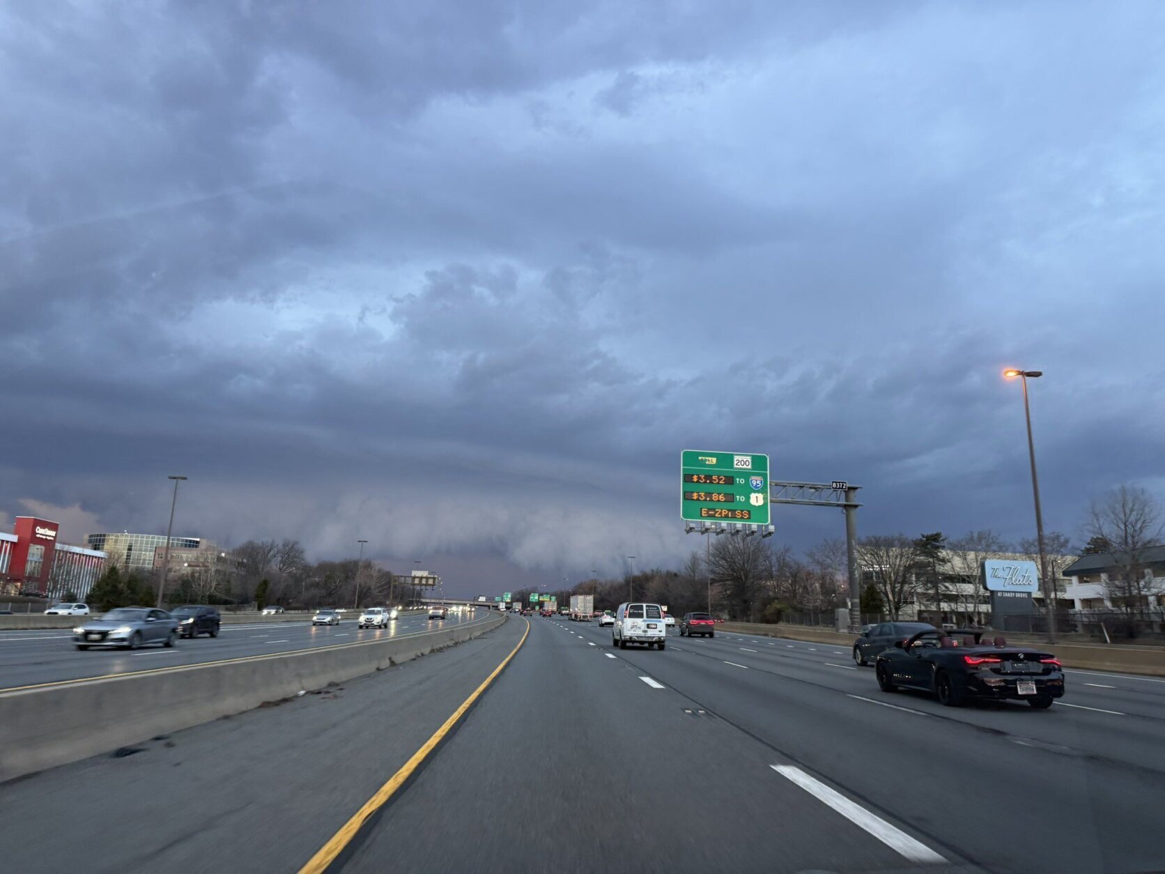


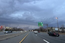


A tornado watch is in effect for parts of the D.C. region Wednesday evening as potential storms threaten to close out another day of record-breaking warm temperatures.
The tornado watch includes parts of Montgomery, Howard, Frederick and Carroll counties in Maryland as well as Loudoun County, Virginia. Areas along and west of the Blue Ridge are also under the tornado watch.
“Damaging winds, large hail and even an isolated tornado, all possible,” WTOP Meteorologist Mike Stinneford said. “Worst of the weather is out of here after sunset.”
Stinneford reported around 6:45 p.m. that a rotating storm cell was seen over Frederick County and advised residents to take cover as far low or underground as possible.
“We had temperatures soar into the mid-to-upper 80s this afternoon. … There’s just a lot of wind energy associated with this front,” Stinneford said. “This is pretty much what we expected.”
He added that storms could impact most of the D.C. region Wednesday evening, especially along and north of the Route 50/I-66 corridor, before clearing up at night.
Stinneford reported around 7:05 p.m. that a “really nasty storm” was moving up to 50 mph east across the region, leaving some wind damage in its path.
“Do keep in mind that this is a very dangerous situation,” he said.
Record-high temperatures for early March
Outside the storm risk, temperatures were above average Wednesday afternoon.
All three airports in the D.C. area reached the mid-80s, breaking record-high temperatures for the date March 11 set in 2021.
Stinneford reported Reagan National Airport hit 85, BWI Marshall Airport hit 83 and Dulles International Airport hit 85, as of 4 p.m.
“Maybe not quite as warm as yesterday, but it’s definitely going to feel summerish before the cold front comes through and cools us back down to reality,” National Weather Service meteorologist Christopher Strong said.
High temperatures reached 84 degrees at all three airports in the D.C. region Tuesday afternoon, shattering records set in 2016.
- Listen to WTOP online and on the radio at 103.5 FM or 107.7 FM.
- Current traffic conditions
- Weather forecast
- Closings and Delays: DC-area schools make decisions for Monday instruction
- Sign up for WTOP email alerts
- Get custom alerts with the WTOP app for Apple and Android phones
Temperatures are expected to fall Wednesday evening and the chances of wet weather go up again overnight.
“We will see some showers developing well after midnight as a strong cold front comes our way,” Stinneford said. “It’ll turn windy and colder. Lows in the 40s to low 50s.”
Thursday is expected to be wet and cooler, with temperatures dropping into the 40s.
“It’s really the battle between winter retreating and warmer temperatures coming in,” Strong said. “We usually have a lot of roller coaster temperatures.”
Some wet snowflakes could mix with the rain Thursday, but the snowfall isn’t expected to accumulate.
Even colder temperatures are expected to make their comeback Thursday evening, with wind chills in the 30s.
Strong said we won’t see an extended period of warm — or cool — temperatures.
“March tends to be topsy-turvy, and I think that’s going to be the case the next couple of weeks here,” Strong said.
FORECAST
WEDNESDAY NIGHT: Scattered showers developing
Temps: 60s to 50s
Winds: West/southwest 5-15 mph
THURSDAY: Areas of rain, windy and cooler
Temps: 60s to 40s
Winds: Northwest 10-20 mph with gusts around 30 mph
FRIDAY: Partly cloudy and breezy
Highs: 55-60
Winds: Southwest 10-20 mph
Gusts: 30-40+ mph
CURRENT CONDITIONS
Power outages
Get breaking news and daily headlines delivered to your email inbox by signing up here.
© 2026 WTOP. All Rights Reserved. This website is not intended for users located within the European Economic Area.