WASHINGTON — The new workweek starts with the first day of summer! This year, the summer solstice is precisely 6:34 p.m. on Monday, and it will feel like summer again right on schedule.
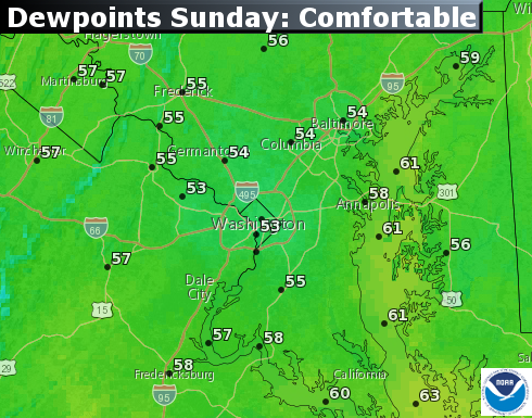
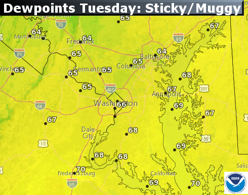
Temperatures will be hot enough, but we will also have much more humidity than we had over the weekend, courtesy of a center of high pressure heading out to sea. Our wind flow will generally be out of the southwest, pumping in the atmospheric moisture.
It will be a stark contrast to the weekend’s dry conditions, so it may feel more uncomfortable than these humidity levels would feel otherwise. At any rate, despite the heat and humidity, Monday will not have a good trigger for the formation of thunderstorms.
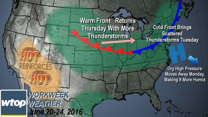
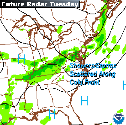
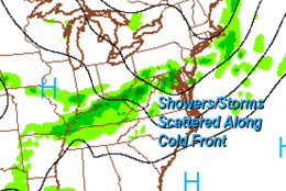
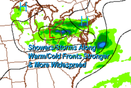
That will change on Tuesday when a cold front will lift the atmosphere and release some of that energy. At this point, it looks like the showers and storms will be somewhat scattered, so we may not see rain on Tuesday. But any thunderstorms that do manage to form will be in an environment where they could produce some downpours and gusty winds.
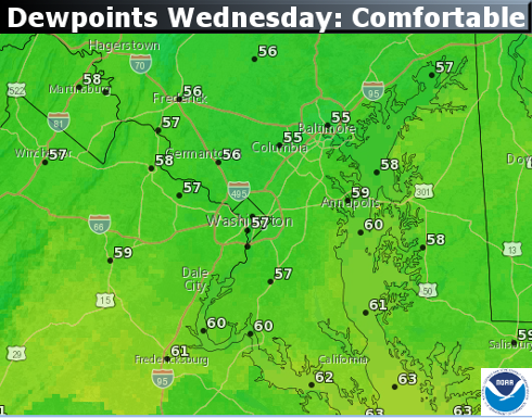
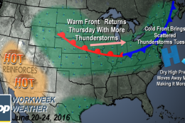
The areas most likely favorable for the strongest storms would be south of D.C. Then Canadian high pressure will change our winds to northwesterly all over again, drying us out on Wednesday, making it much more comfortable. However, the front won’t make it too far south and will already be heading back our way on Wednesday night as a warm front.
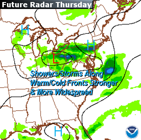
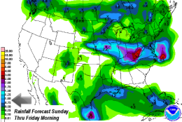
The front will be draped over the area on Thursday and several disturbances along the boundary will be able to send scattered showers and thunderstorms our way, so it looks like Thursday’s rains should be more widespread than Tuesday’s. The front will kind of fizzle over us by the weekend, keeping clouds around, which will keep it from getting too hot on Friday. But by the same token, it means the sticky humidity won’t go away. Friday could have a few scattered thunderstorms as well.
The unusual and dangerous heat wave in the Southwest desert is keeping the jet stream steering winds ridged in northwestern Canada, keeping a dip in eastern Canada, and sending these cold fronts our way.
So in a roundabout way, it’s one reason we’ve had warm but dry conditions in recent days. A hot weather pattern like that because of the already dry ground may perpetuate itself for a while, so it may have an effect on our weather next week also, if not longer.
DAILY WEATHER HIGHLIGHTS
MONDAY
• Just as hot as Father’s Day if not hotter by a few degrees
• Humidity levels back in the sticky range
TUESDAY
• Chance for a few showers in the morning
• Warm and muggy
• Chance for more scattered thunderstorms in the afternoon and evening
WEDNESDAY
• Temperatures closer to average (mid 80s), so not as hot
• Humidity will be comfortable
• Sunshine to start the day but clouds come back quickly ahead of warm front
THURSDAY
• Muggy again
• Seasonably warm
• Several chances for thunderstorms, on and off during the day
FRIDAY
• Below average temperatures, so not hot
• Humidity levels unchanged, so still feeling sticky
• An isolated or a few thunderstorms in the daytime heating can’t be ruled out
Editor’s note: The WTOP Workweek Weather Blog is intended as an in-depth yet plain language summary of the business week’s weather potential in the D.C. area along with an explanation of the contingencies and uncertainties. For the latest actual Storm Team 4 Forecast, check out the WTOP Weather Page.