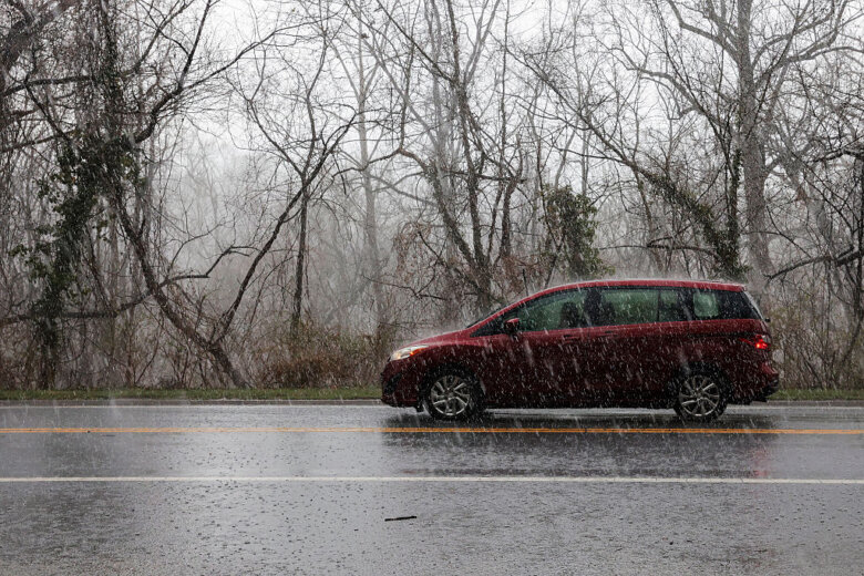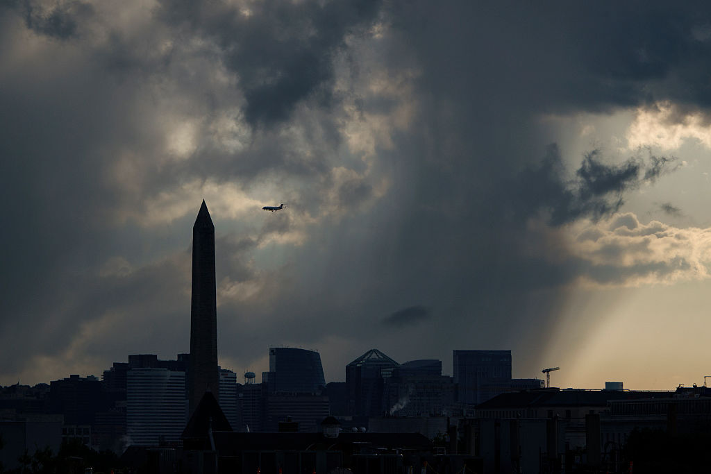
The D.C. region was hit with another round of showers and thunderstorms Wednesday morning and a few isolated showers could pop up in the evening hours.
Things should dry up after sunset but the humidity isn’t going anywhere, according to 7News First Alert Meteorologist Mark Peña.
An earlier flood watch from the National Weather Service has expired in Anne Arundel County, Maryland.
There’s been a mix of clouds and sun, with temperatures in the upper 80s.
Peña said a warm front will usher in a big surge of tropical moisture overnight. Heat index values will be closer to 100 degrees during the afternoon Thursday.
“Remember to stay hydrated. Take plenty of breaks in the shade if you happen to be outside, as well as wear light-colored, loose-fitting clothing,” Peña said.
The heat and humidity will continue for the next several days, with chances of a few isolated, scattered showers and storms each afternoon.
The rainfall could produce heavy downpours, which may cause localized flooding on low-lying roads and in areas with poor drainage.
“If you come across any water over the roads, turn around, don’t drown,” Peña said. “And although the severe threat is rather low, thunderstorms are capable of producing some gusty winds, frequent lightning, and, of course, some briefly torrential blinding rainfall.”
Thursday will be partly cloudy and hotter, with highs in the upper 80s to lower 90s. Isolated showers and thunderstorms are possible by the evening as the stalled weather system begins moving offshore. This shift could also increase the risk for severe storms.
Friday will bring another hot and humid day, with highs between 90 and 95 degrees. Pop-up afternoon thunderstorms are again possible, with some capable of producing heavy rain, frequent lightning and gusty winds.
- Listen to WTOP online and on the radio at 103.5 FM or 107.7 FM.
- Current traffic conditions
- Weather forecast
- Closings and Delays
- Sign up for WTOP email alerts
- Get custom alerts with the WTOP app for Apple and Android phones
A front will remain stalled across the area for the next several days, and there will be a chance of rain and severe storms into the weekend.
Forecast
WEDNESDAY NIGHT:
Partly cloudy
Lows: 70-76
Winds: South 5 mph
Looking dry but muggy. Patch Fog Possible.
THURSDAY:
Partly cloudy. Isolated evening storms
Highs: 90-95
Heat Index: 98-102
Winds: Southwest 5-10 mph
Partly cloudy for most, with isolated showers and storms by late afternoon. The best chance for storms looks to occur along the I-81 corridor and west of Highway 15. Any storms that move into the D.C. metro should weaken as the evening progresses.
FRIDAY:
Partly cloudy. PM storms
Highs: 88-94
Heat Index: 98-102
Winds: Southwest 5-10 mph
The daily afternoon storm chance continues with a higher chance for stronger storms west of the D.C. area. Storms may approach the Capital Beltway in time for the evening commute. The heaviest weather looks like 6pm to 11pm. The threats from these storms would be damaging wind gusts and heavy rainfall.
SATURDAY:
Partly cloudy. Scattered late PM storms
Highs: 89-94
Heat Index: 95-100
Winds: Southwest 5-10 mph
Most of the day should stay dry, but afternoon storms are likely to develop again with the threat for damaging wind gusts and heavy rainfall.
Current conditions
Get breaking news and daily headlines delivered to your email inbox by signing up here.
© 2026 WTOP. All Rights Reserved. This website is not intended for users located within the European Economic Area.