
After one of the hottest summers on record in the D.C. area, get ready for a milder than usual winter, with only enough snow to maybe make a pint-size snowman.
Veronica Johnson, chief meteorologist at WTOP news partner 7News, debuted the First Alert Weather team’s Winter Weather Outlook on Monday and told WTOP she’s forecasting a below-average winter snowfall influenced by a weak La Nina pattern.
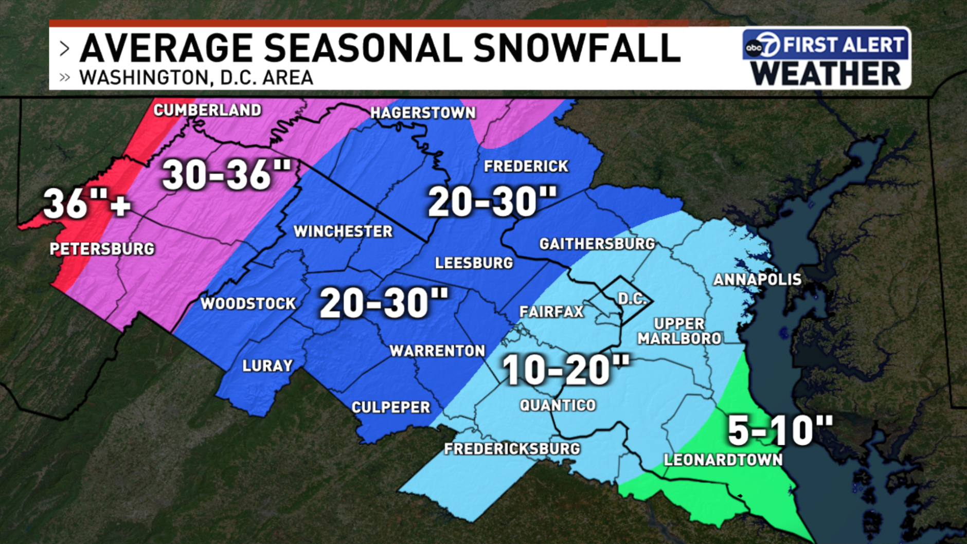
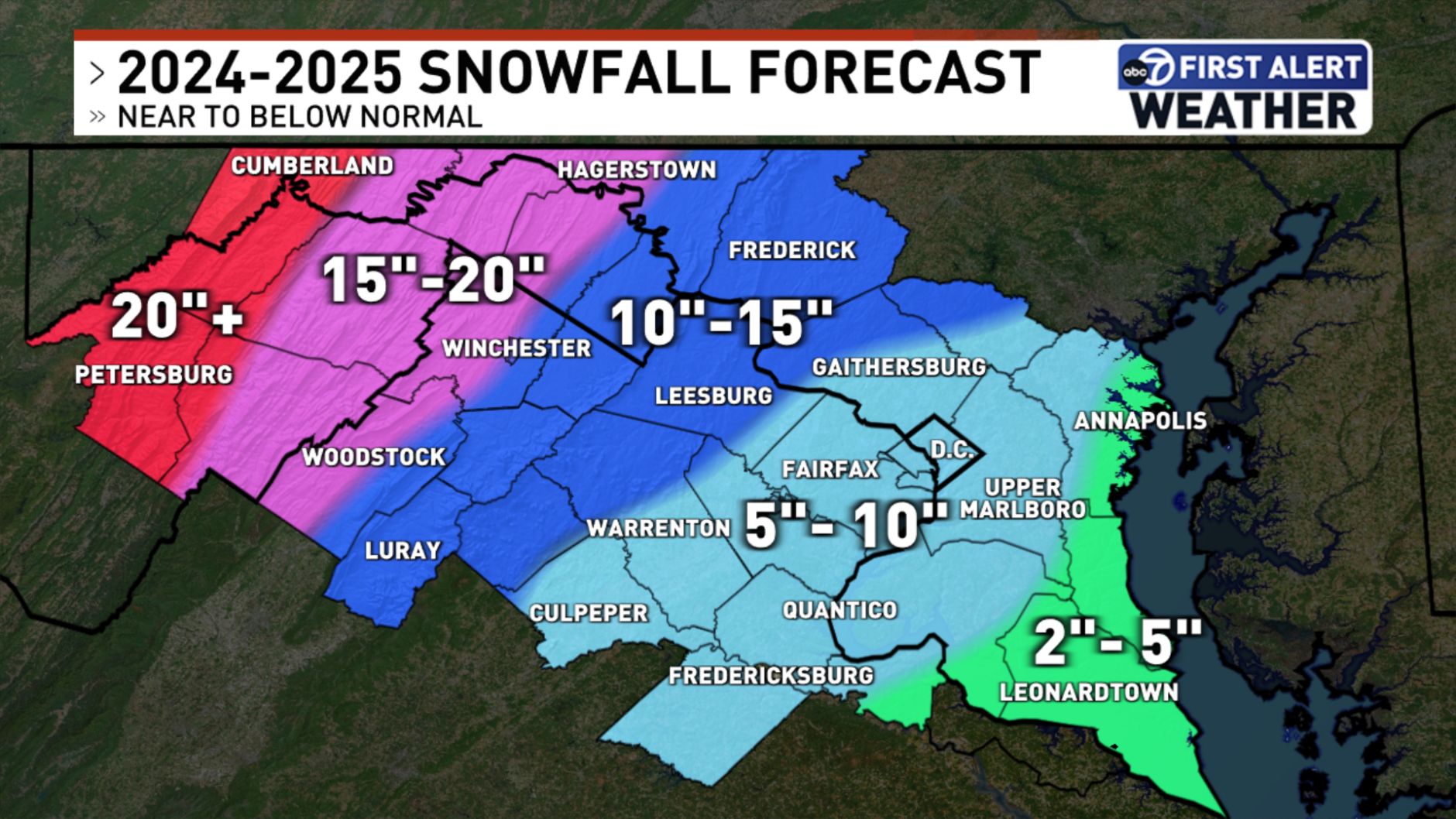
“We’re going with well below average, which is only five to 10 inches for the entire season around the D.C. metro. We’re going with two to five inches for some of the southern zone, St Mary’s County, Calvert County, southern Charles (County). This is for the entire season, not just for one single event,” she said.
Johnson said areas in Frederick County, Maryland, along with Loudoun and northern parts of Fauquier counties in Virginia may get slightly more snow, between 10 to 15 inches.
“If you’re looking for higher snowfall amounts, you’ve got to go way to the west. You’ve got to go around I-81 and west of there, that’s where there could be 15, maybe upward (of) 20, inches of snowfall,” she said.
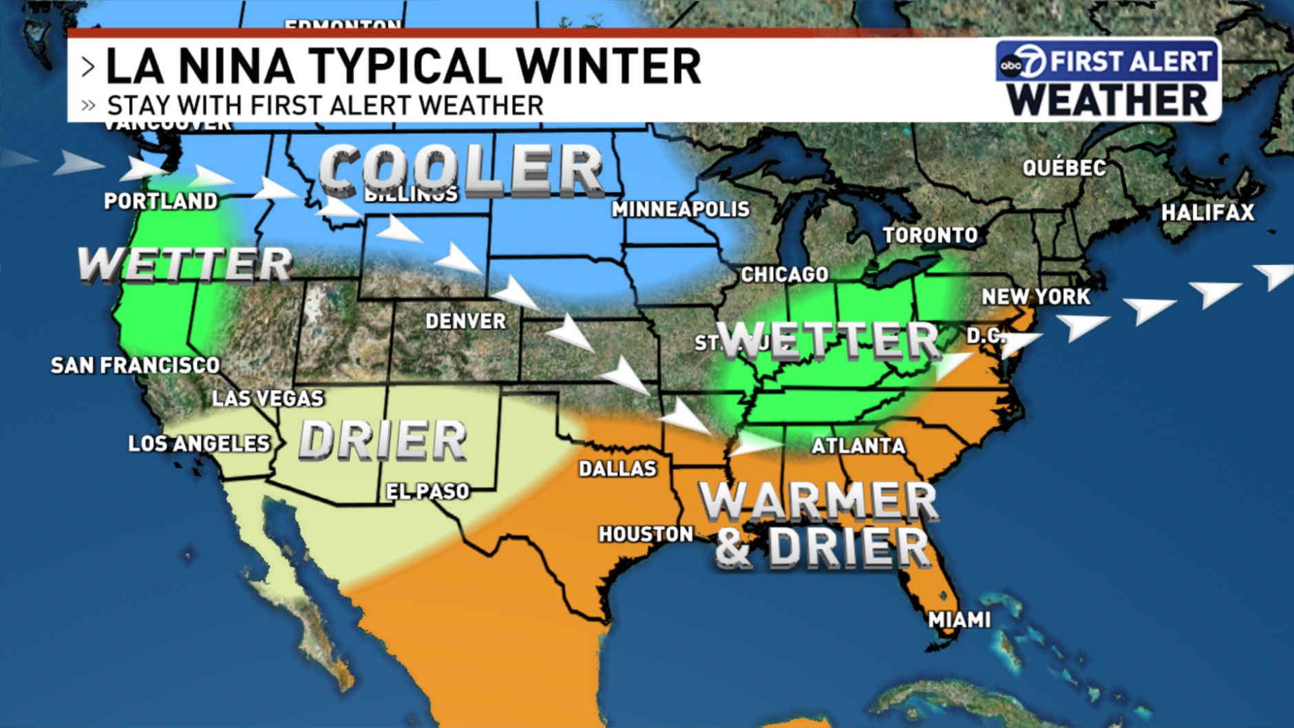
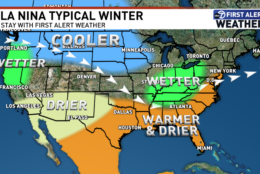
The La Nina climate pattern is driven by cooling water temperatures in the Pacific Ocean and typically occurs every three to five years. According to NOAA, during a La Nina year, the Pacific jet stream shifts northward, bringing colder and wetter winter days to the northern parts of the country and warmer and drier days to the south.
Johnson said the jet stream cuts through the country’s midsection so wetter conditions can be found in the Ohio Valley in Kentucky and Tennessee.
“But we are on the other side of that,” she explained.
She said the strange summerlike weather we are having in November is a combination of La Nina and ongoing climate change.
According to Climate Matters, winters in D.C. have been getting warmer — temperatures rose 3.6 degrees between 1970 and 2023.
“Our coldest days aren’t quite as cold. I sometimes joke with other weather people as we put out this winter forecast, it’s almost like, ‘Oh, we’re just looking at an extension of fall with a couple of really cold pockets thrown in to make up what is now winter in D.C.,'” she said.
As for the temperatures overall this winter, Johnson forecasts temperatures around 40 — above the average of 37.3.
“January is looking like it could be our coldest month, around 38 degrees, with a couple of bouts of cold to come and more chances of snowfall as we get into mid and late January,” she said.
For people looking for snow-based winter activities, Johnson suggested going to snow resorts around western Maryland, Western portions of Pennsylvania and West Virginia.
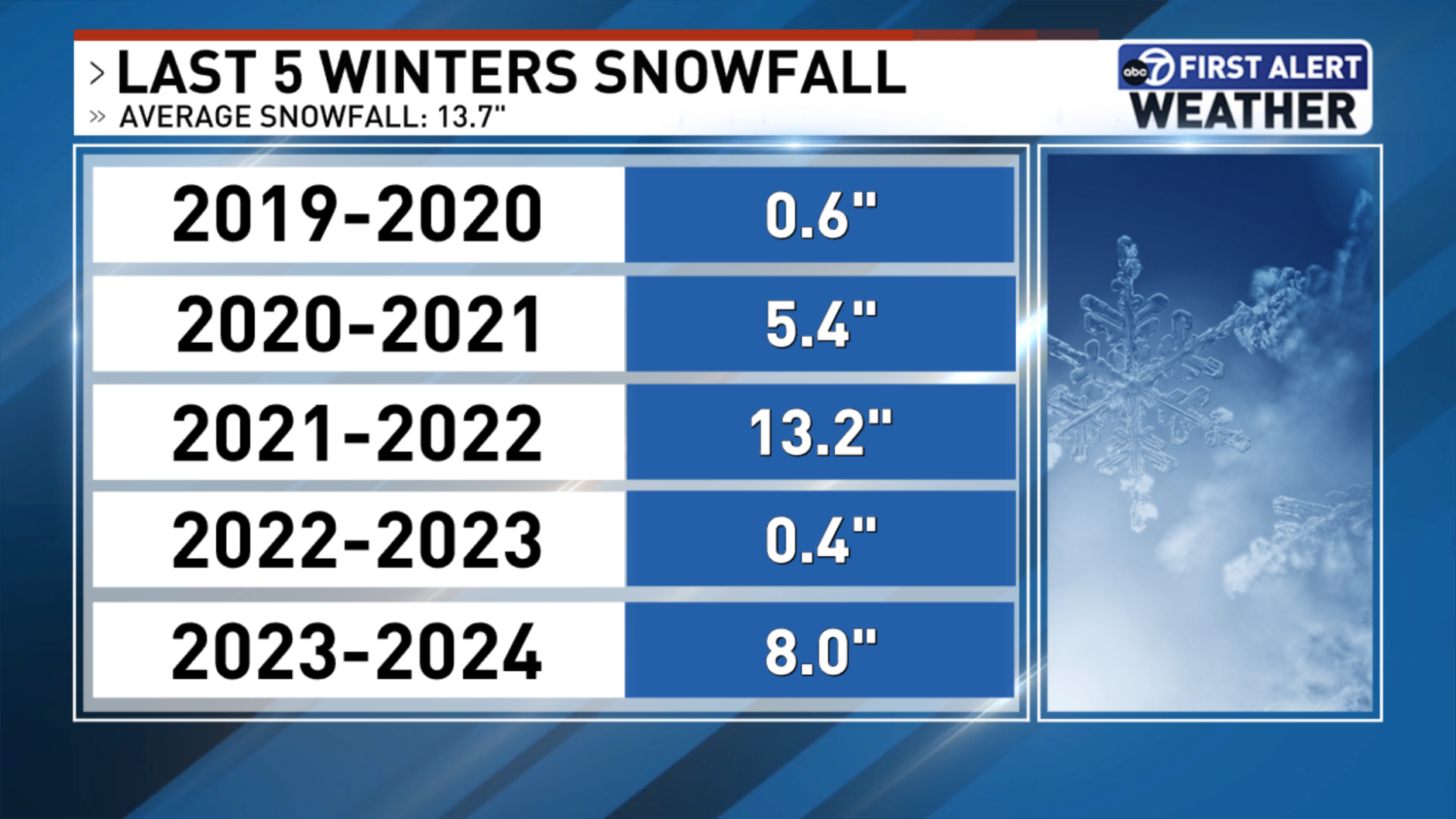
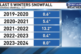
She also said weather models are not a guarantee, but they do help people prepare. Last winter, the D.C. area was forecast to have 18 inches of snow, due to a robust El Nino climate pattern, but only 8 inches fell in total.
“My message is, in any situation, you should always be prepared for what’s coming up,” Johnson said. “If we’re in severe weather season, always be prepared for severe storms, even if we’re in a quieter or a calmer pattern or trend, because you never know really what Mother Nature is going to throw at you.”
Get breaking news and daily headlines delivered to your email inbox by signing up here.
© 2024 WTOP. All Rights Reserved. This website is not intended for users located within the European Economic Area.


