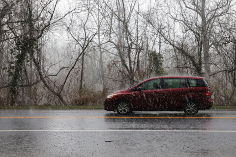
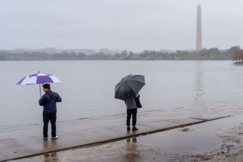
Just as D.C. enters the first full workweek of meteorological winter, Mother Nature will remind the region that dark days are ahead. The reason: a stubborn pattern will bring a stretch of dense foggy days to the nearby Blue Ridge.
Monday promises a typical early December day with plentiful sunshine and highs near the climatological average of 52 degrees. The pattern change will begin late Monday night as an approaching warm front brings clouds, drizzle and enough moisture to trigger fog development in the Blue Ridge.
- Listen to WTOP online and on the radio at 103.5 FM or 107.7 FM.
- Weather forecast
- Sign up for WTOP alerts
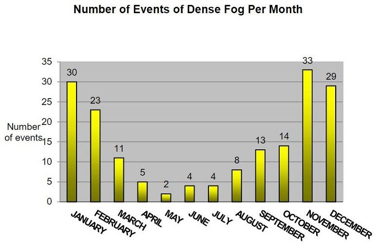
Historically, the months of November through January are the optimal three months for dense fog events in the Blue Ridge. December has the third highest number of dense fog events of the year.
Tuesday through midday Thursday will be a battle between warm air approaching from the south and an increasingly colder air mass to the north that will seep south toward the D.C. metro. This air mass battle promises not only drizzle and occasional light rain, but also fog and poor driving conditions in the Blue Ridge.
As a matter of fact, visibility will stay under one mile Tuesday morning through midday Thursday along the Blue Ridge spine.
Motorists traveling Skyline Drive and the stretch of real estate on Interstate 66 and 70 over the Blue Ridge should keep in mind the poor visibility factor when planning the morning and evening commutes each day. Also, high beams will only make it more difficult to navigate roads in the Blue Ridge during this foggy stretch.


