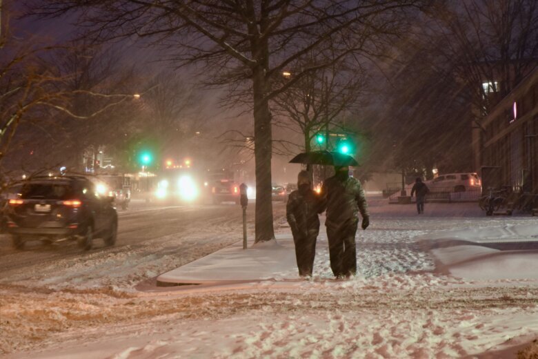


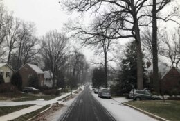
Now, officials expect slick roads and dangerous conditions are possible despite lower snow totals than storms earlier this month.
Key points
- A Winter Storm Warning is in effect for parts of Loudoun, Fauquier and Culpeper counties in Virginia, and Frederick County in Maryland until 7 a.m. Monday.
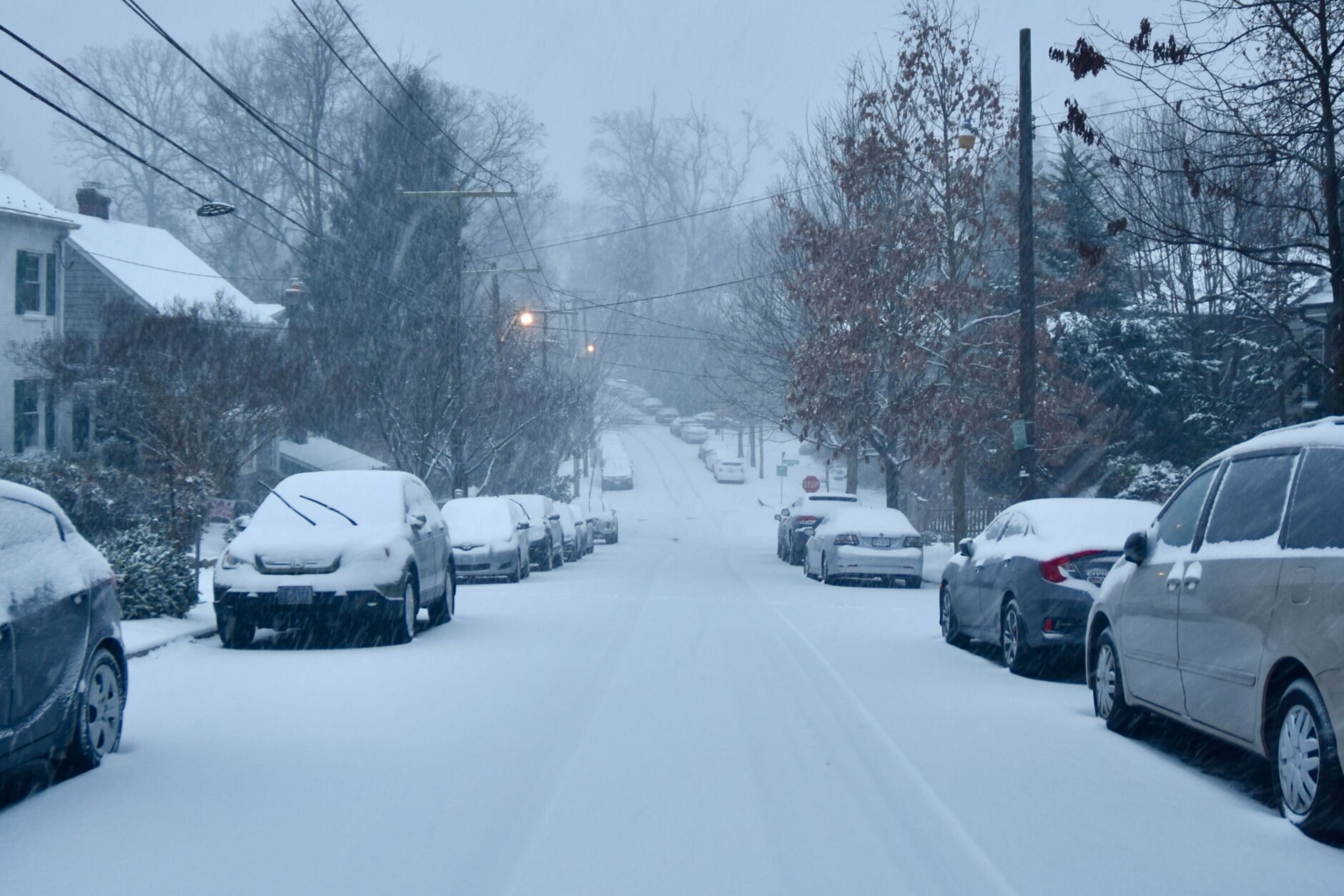
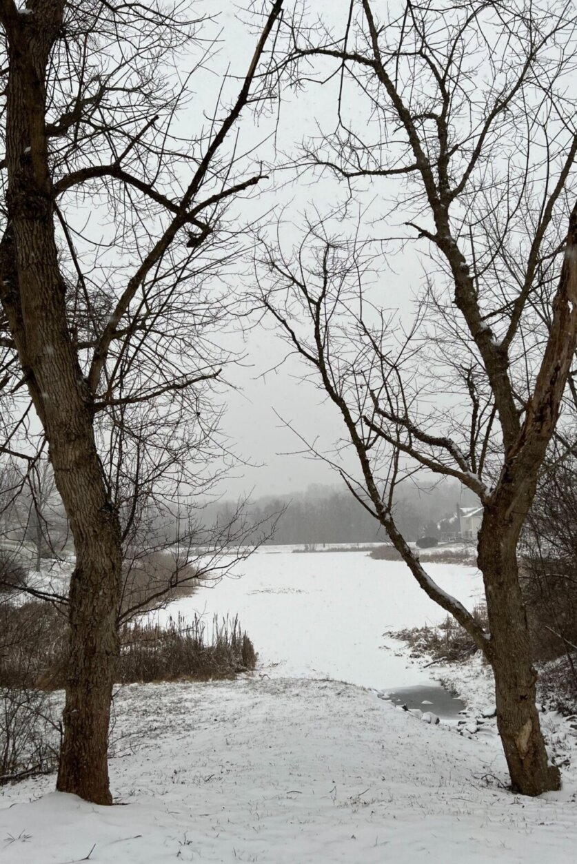
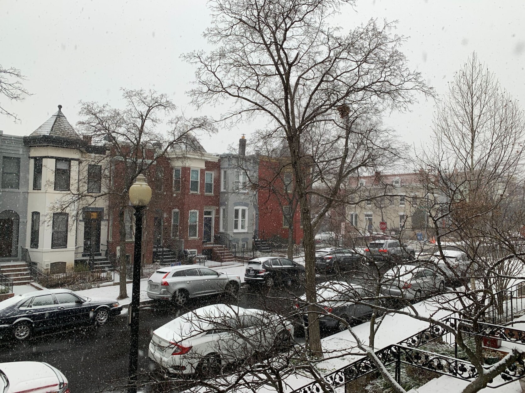
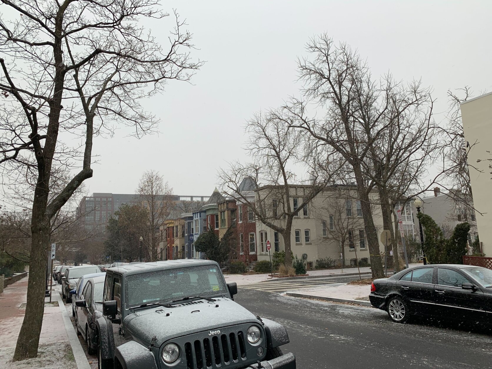
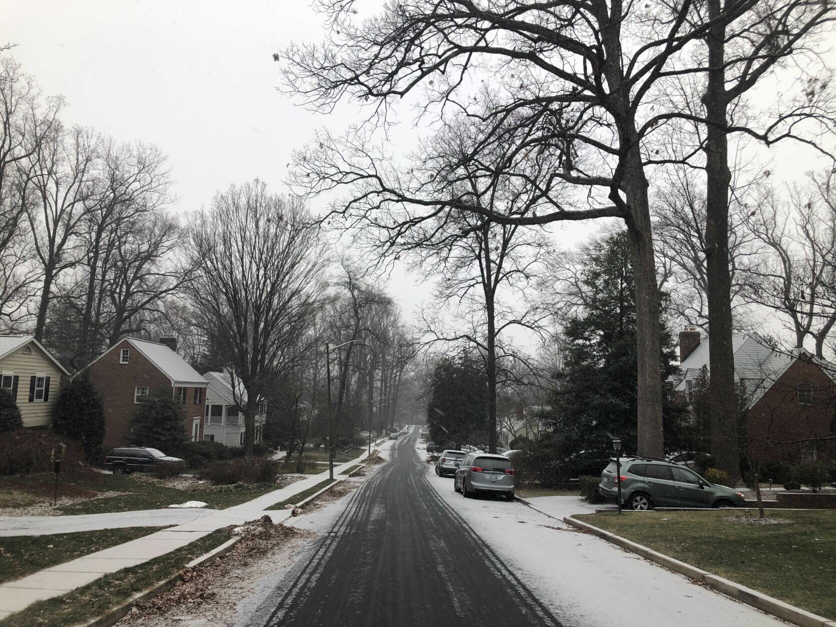
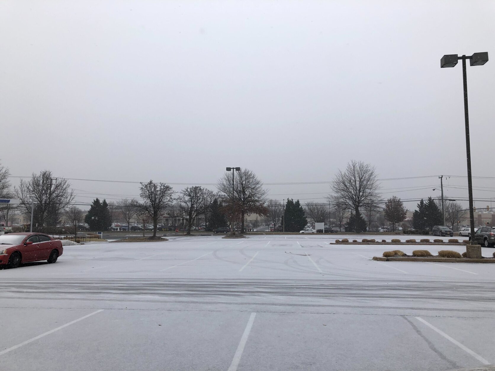
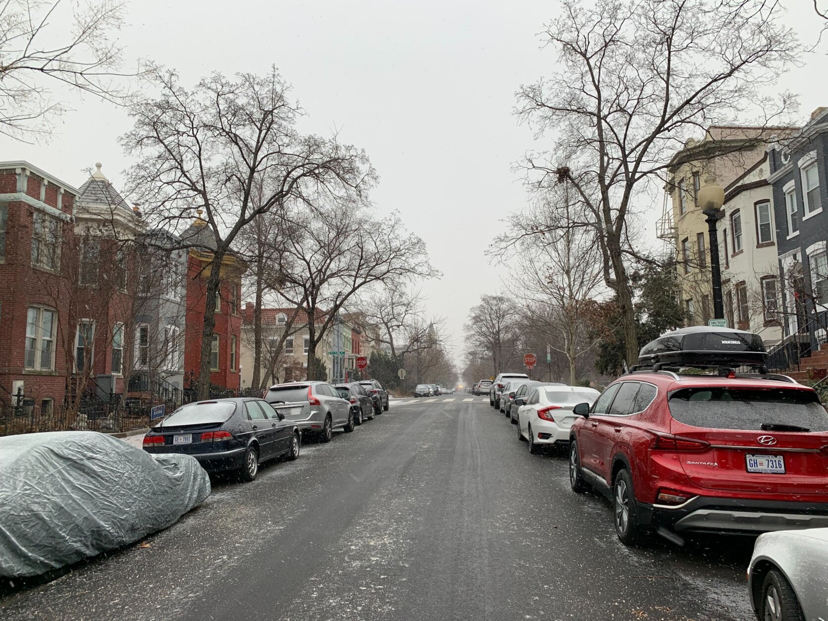
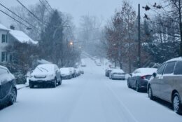
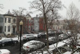
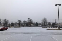
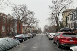
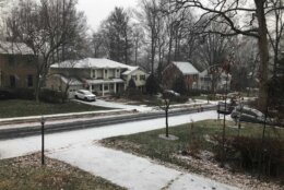
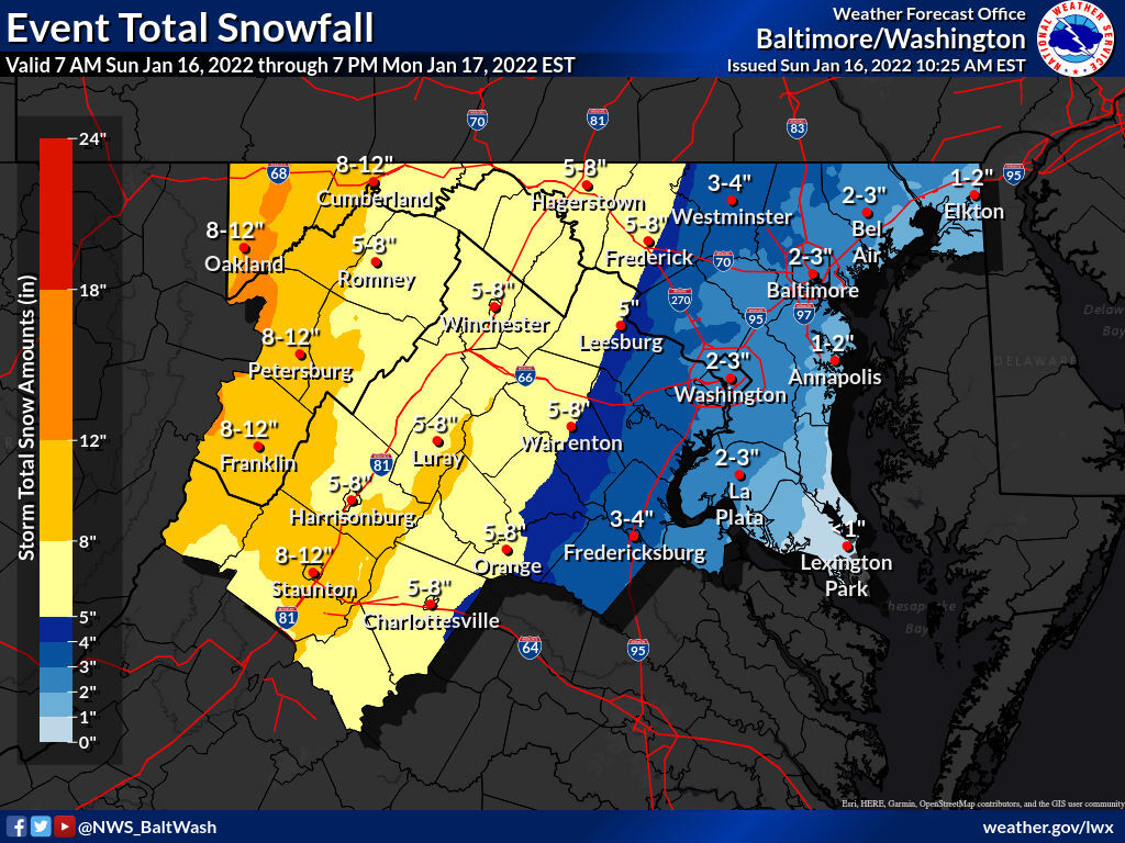
- Snow moved in around noon, leaving around 1 to 2 inches in most of the D.C. region.
- Freezing rain could lead to power outages and make travel dangerous.
- The Virginia Department of Health will close some vaccination and testing centers on Monday, and others will open on a delay.
A broad area of low pressure pivoting north from the Gulf Coast brought snow into the WTOP listening area around midday. Meteorologists are calling for rain or freezing rain to shift back over snow showers after midnight.
Storm Team4 Meteorologist Matt Ritter added that the potential for water spouts entered the forecast late into the evening, with the potential for spouts to form over the Chesapeake Bay.
The Severe T’storm Warning (really just small area of intense rainfall and damaging winds) is only in effect for the western shore area of the #BayBridge. In effect until 11:30pm EST. Elsewhere, steady precip. is ending rapidly south to north. @WTOP #MDwx #DCwx #VAwx pic.twitter.com/sKAdUDWOZL
— Matt Ritter, WTOP Multimedia Meteorologist (@MetMattRitter) January 17, 2022
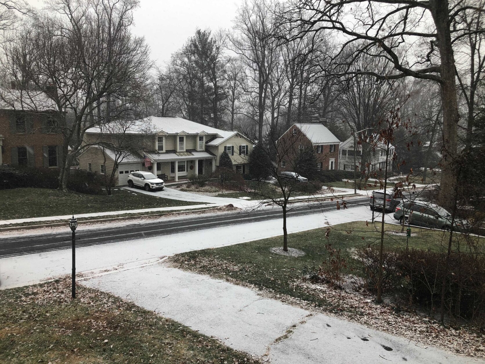
Meanwhile, Ritter said, totals in urban areas aren’t looking that impressive. Most of the region got between 1 to 2 inches of snow before the transition, with slightly higher amounts accumulating in northern and western suburbs.
Around 5 p.m., warmer air began moving into the region and facilitated the transition from snow to sleet, reported Storm Team4 meteorologist Ryan Miller. The sleet transitioned to just rain in parts of the area around 9 p.m. Storm Team4 Meteorologist Matt Ritter said cold air will wrap back into the system after midnight and from some snow showers and flurries.
This time, the bullseye for the snow event fell squarely to the west.
“The further west of Washington you go it’s going to be colder for longer periods of time,” Miller said.
Sunday started off incredibly chilly, with the NWS reporting that temperatures dropped below 20 at Reagan National Airport for the first time in a record 1078 days. The previous record was 428 days in 2001-2002.
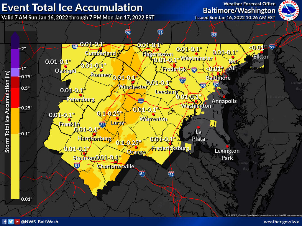
That cold will make rainfall freeze as it hits the ground, setting the stage for ice accumulation that could lead to power widespread power outages.
By Sunday evening, Dominion Energy reported that around 6,000 of their customers in Northern Virginia had lost power.
The largest risk of suburbs around D.C. is icing on roadways.
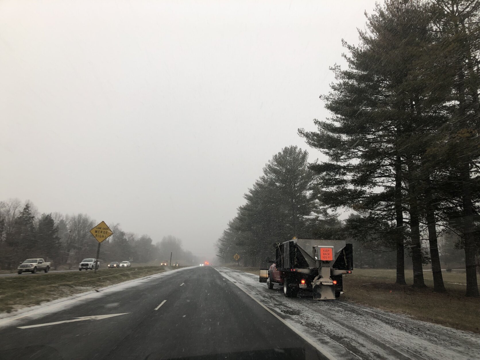
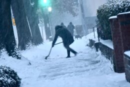
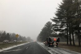
The Virginia Department of Transportation is recommending people avoid travel and the Maryland State Highway Administration said to avoid nonessential travel because of snow and ice and heavy winds bringing the potential for downed trees.
If you must be out Sunday overnight into Monday, drive slow and use extra caution on untreated driveways, bridges, ramps and overpasses.
Flying was also a problem for thousand of people Sunday. FlightAware reporter 130 canceled flights at Dulles International Airport, 383 cancellations at Reagan National Airport and 120 at Baltimore-Washington International Airport.
Though the wintry storms are expected to dry up Monday, bundle up because wind chills will be in the teens making for a blustery Martin Luther King Jr. Day. Ritter said winds could gust over 45 mph.
- Listen to WTOP online and on the radio at 103.5 FM or 107.7 FM.
- Current traffic conditions
- Weather forecast
- Closings and Delays
- Sign up for WTOP alerts
Virginia vaccination centers closed or opening on delay Monday
The Virginia Department of Health announced that it would be closing some vaccination and testing centers on Monday as a result of the storm.
The vaccination centers in Charlottesville and Roanoke will be closed Monday, along with the testing center in Charlottesville.
The centers in Fairfax, Prince William, Fredericksburg, Chesterfield and Henrico will open at noon and close at their regular time.
The Norfolk and Newport News sites will open at their regular hours Monday.
Avoiding outages
Virginia’s electricity companies also made preparations ahead of the weekend storm.
Casey Hollins, a spokesperson for Rappahannock Electric Cooperative, said the company proactively staged workers around their service territory in anticipation of Sunday’s snow. The company website has a tool to report outages.
Dominion Energy also had workers and contractors on standby for possible outages, according to Peggy Fox, a company spokesperson. Outages can be reported on the company’s app.
Sean Matthews, a spokesperson for PEPCO, said their crews also prepped for snow in D.C., and Prince George’s and Montgomery counties in Maryland.
Matthew said outages can be reported online at the company’s website or by calling 877-PEPCO-62.
“If you do see an unsafe condition, whether it be a downed pole or wire that’s come down, always treat that in that situation as if that wire is active and energized,” Matthews said. “Don’t touch it; stay away from it and give us a call.”
They also encouraged people to prepare any supplies needed for alternative heat sources, like wood for fireplaces or gas for generators.
Matthews also recommended charging up devices and checking emergency kits for water bottles, nonperishable food, battery-powered radios, flashlights, first aid and medications.
Preparing for the storm
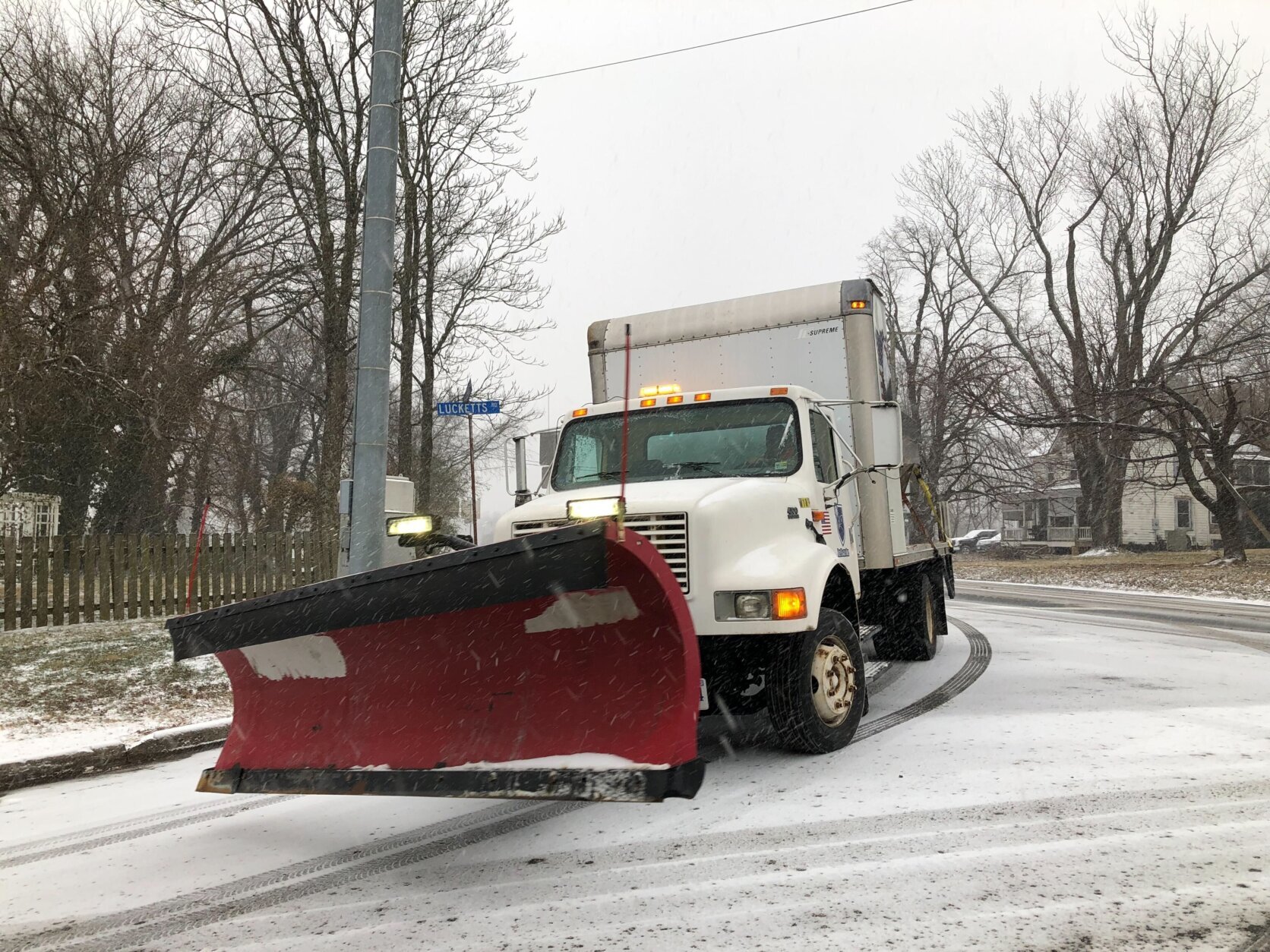
WTOP’s Nick Iannelli reported Virginia’s newly-inaugurated governor, Glenn Youngkin, met with crews to discuss plans to treat roads Sunday afternoon.
“There’s an extraordinary amount of coordination going on across the Commonwealth which is just so encouraging to see,” Youngkin said.
“We’re moving assets from eastern Virginia to Western Virginia. We’ve got the National Guard out along I-81 down into Danville. Most importantly, we’ve got all of the roads salted.”
New on the winter storm. Governor Youngkin meeting with road crews here at the Capitol talking about road treatment statewide. Also… pic.twitter.com/oQ3ewcSV8c
— Nick Iannelli (@NickWTOP) January 16, 2022
Virginia’s outgoing governor Ralph Northam declared a state of emergency in the commonwealth, citing the oncoming storm. That declaration allowed emergency responders to prepare for the storm and move supplies and equipment where necessary.
Northam and state emergency officials talked Friday morning with Youngkin ahead of his inauguration. With the state of emergency in place, Gov. Youngkin said his response to the storm can begin as soon as he’s sworn in.
“I urge Virginians to take this storm seriously and make preparations now,” Northam said in a statement.
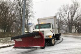
Road crews applied anti-icing brine on roadways across the region, including I-95. According to the Virginia Department of Transportation, the solution will prevent ice from bonding into the pavement during the storm, reducing the risk of hazardous road conditions while helping crews with snow and ice removal.
However, it didn’t take long after the snow started to stick for crashes to start popping up on roads in the region. Virginia State Police said their troopers responded to more than 1,000 crashes and disabled vehicles since midnight.
#VSP responds to almost 1,000 traffic crashes & disabled vehicles Sunday across #Virginia. From 12:01 AM to 8 PM, 482 traffic crashes and 486 disabled vehicles. Mostly vehicle damage. No reported traffic deaths. @VaDOT @VDEM (Photo: I64 #Goochland) @GoochlandGovtVA pic.twitter.com/VSfdbdfAcJ
— VA State Police (@VSPPIO) January 17, 2022
Once 2 or more inches of snow have accumulated, Virginia’s online snowplow tracker is activated, and users can monitor the status of roads, as well as where snow plows are working. Maryland has a similar interactive tool online.
D.C. Director of Homeland Security Christopher Rodriguez said storm prep in the area started midweek and that their crews are mobilized and ready to clear the roads.
Maryland State Highway spokesperson Sherry Christian said drivers should continue to follow the “basic guidelines.”
“But when you’re in inclement weather, you need to take it down a notch,” Christian said. “So slow down. Remember the posted speed limits are for ideal weather conditions, which is what this storm is not.”
Christian recommended people drive at least 10 mph below the speed limit, use caution around snow plows and clear all snow off of vehicles before driving.