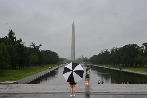
After a rainy and windy start to the Christmas weekend, the D.C. region received some relief with more pleasant conditions on Sunday.
Christmas Eve brought severe weather and heavy rainfall as temperatures plummeted to the 20s in the early-morning hours.
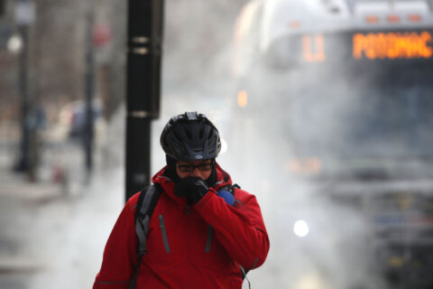
Snow flurries touched down on Christmas Day, while windy conditions made Saturday one of the coldest nights of the year.
However, Sunday and Monday will feature the sun’s return, bringing daytime highs into the mid 40s, Storm Team4 meteorologist Somara Theodore said.
- Listen to WTOP online and on the radio at 103.5 FM or 107.7 FM.
- Current traffic conditions
- Weather forecast
- Closings and Delays
- Sign up for WTOP alerts
Monday should be slightly warmer with highs in the low 50s, but there could be some precipitation.
Two days of slightly warmer weather came after Saturday’s low temperatures for locations west of D.C. touched the high teens, while the District dropped close to 20.
While recent conditions have been colder, National Weather Service statistics show that before the last week, the coldest months of 2020 were still relatively warm.
Another cold night with lows in the 20s and teens. Clouds will linger around MD before eroding late tonight into early Sunday morning. Conditions will remain dry with light variable winds. pic.twitter.com/iYcs2GFL13
— NWS Baltimore-Washington (@NWS_BaltWash) December 26, 2020
At the beginning of 2020, average temperatures for January and February, recorded at Ronald Reagan Washington National Airport, were 5 to 7 degrees above normal. Before Saturday, the lowest temperature checked in at 22 on Feb. 15.
On Saturday night and early Sunday morning, the local branch of the NWS recorded temperatures in the teens west of D.C. and just above 20 in the District.
After Sunday and Monday’s warmer temperatures, cold winds are due to return on Tuesday, which should shift temperatures back toward freezing again.
New Year’s Eve, on Thursday, could be dampened by cold rain, Theodore said, and that could continue through the first day of the new year.
“The rain will likely stick around through Friday, and this could mean another round of potential flooding,” Theodore said.
Forecast:
Sunday: Sunny with highs in the mid-to-upper 40s.
Monday: Mild with temperatures peaking in the low 50s. Clouds later in the day.
Tuesday: Cold winds move in, temperatures in the upper 30s.
Wednesday: Sun and clouds with highs in the low 40s.


