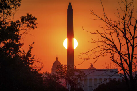
We may be in the midst of a scorching heat wave right now, but it’d be a lie to say things haven’t been heating up for a while already.
In fact, this past week, the National Oceanic and Atmospheric Administration announced that June 2019 was the warmest June globally in recorded history.
The average global temperature for June was 1.71 degrees Fahrenheit above the average temperature during the 20th century, and nine of the 10 hottest Junes ever recorded were measured over the last decade.
Meteorologists say the U.S. is beginning to feel the impacts of a warming global climate, as the world heads into its 414th consecutive month with above-average temperatures.
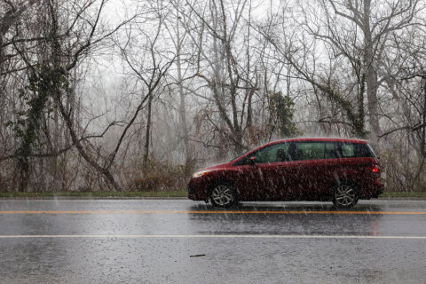
“It’s been pretty wet for parts of the east and the Midwest as well,” said Ahira Sanchez-Lugo, the lead scientist at NOAA’s National Centers for Environmental Information. “For much of the eastern states, they had their wettest 12-month period on record. For the nation as a whole, June 2019 marked the third consecutive month where we’ve surpassed the previous 12-month record, so July 2018 through June 2019 became the nation’s wettest 12-month period on record.”
In the long run, she said a warming climate means the amount of precipitation that falls around the country will tend to lean toward the extremes.
“With a warmer climate, we do expect precipitation to become heavier and more intense,” said Sanchez-Lugo. “However, we do also expect drought to become more intense and more frequent in certain locations.”
“Generally, the rule of thumb is dry areas will become dryer and wet areas will become wetter,” she added, though she noted there could be some exceptions.
What’s likely to happen is that overall, you’ll see more sunny, dryer days than you may have before, but when it does rain, it’ll rain a lot more.
“For some of these locations that we’re seeing [that], they’re not used to that amount of precipitation,” she added. “They built the infrastructure using a different climatology, and that climatology has shifted.”
She also said hurricanes are going to end up bigger and leaving more rain when they make landfall, since they’ve started to move slower, allowing the storms to drop more rain in places where they hit. She pointed to Hurricanes Harvey and Florence as examples of that.
“Not only is the threat more precipitation,” said Sanchez-Lugo, “but as sea levels rise, we are expecting storm surge to become a more potential threat as well.”


