

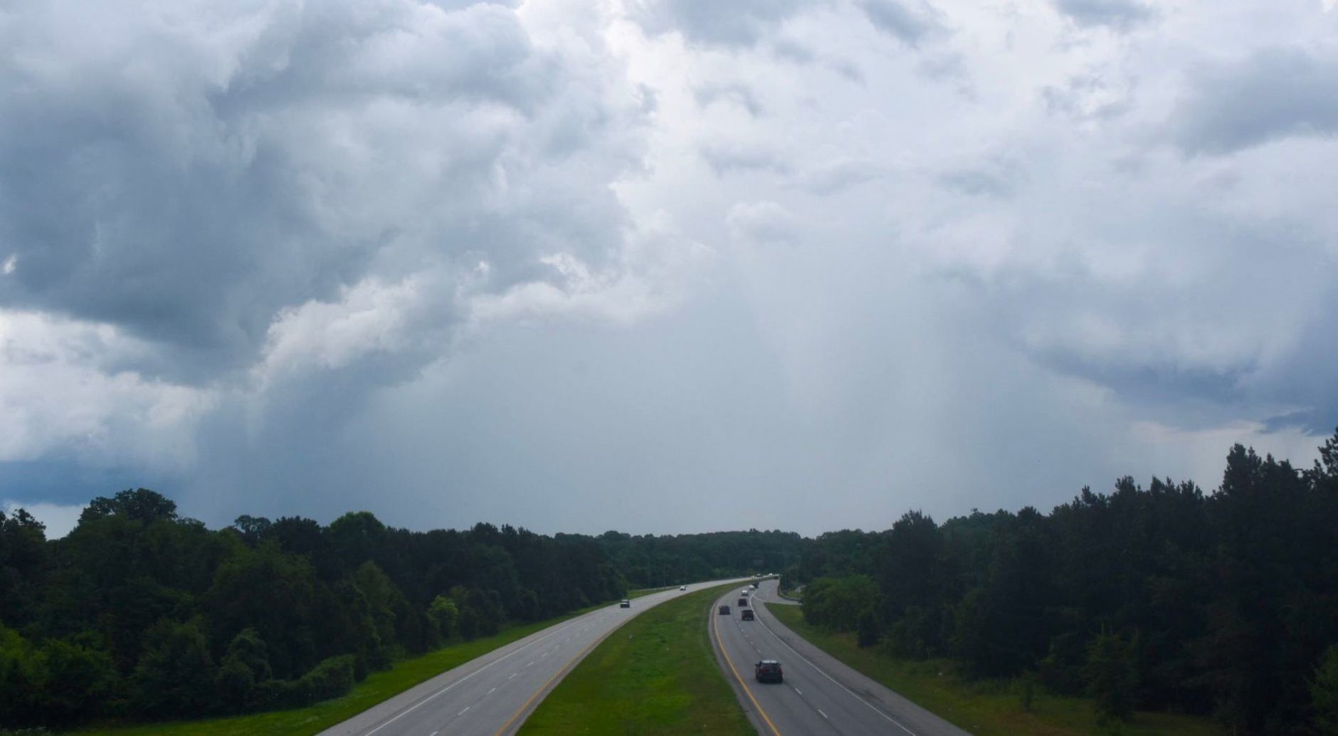


Several storms are making their way across the D.C. area that will last through the evening, with some areas reporting downed trees and golf-ball-sized hail.
Storm Team4 meteorologist Matt Ritter said that downpours and hail are likely in areas experiencing severe storms, and the severe weather affecting the area will taper off around midnight.
Here are areas under a severe thunderstorm warning:
Virginia – Central Loudoun County until 10 p.m.
- Listen to WTOP online and on the radio at 103.5 FM or 107.7 FM.
- Current traffic conditions
- Weather forecast
- Closings and Delays
- Sign up for WTOP alerts
The area is no longer under a severe thunderstorm watch or a flash flood watch, but remnants of Monday’s severe weather still linger in some parts of the region.
WTOP’s Dave Dildine, looking west from Lanham, Maryland, said he saw “an awful lot of dangerous cloud-to-ground lightning.”
Storm Team4 meteorologist Mike Stinneford said he had gotten reports of downed trees blocking roadways near Garrisonville, in Stafford County, Virginia, and golf ball-sized hail in St. Mary’s County, Maryland.
In D.C., firefighters rescued a person that was trapped in standing water on Interstate 295 at the Malcolm X-South Capitol exit.
The downpour also led to the postponement on the Washington Nationals game against Philadelphia on Monday.
And the threats aren’t going anywhere anytime soon. Stinneford said that “a cold front will approach our region (Monday afternoon) and then stall. … The front will not move much over the next several days, and we will see a risk of strong to severe storms and flooding rains each afternoon through Thursday.”
Current weather
Latest forecast
MONDAY NIGHT: Heavy thunderstorms will end in the evening, with a few showers overnight. Lows: 65 to 70
TUESDAY: Mostly cloudy, warm and humid with afternoon thunderstorms. Highs: mid- to upper 80s
WEDNESDAY: Warm and humid with showers and afternoon thunderstorms. Highs: mid-80s
THURSDAY: Warm and humid with afternoon thunderstorms. Highs: mid- to upper 80s
FRIDAY: Mostly sunny. Highs: mid-80s