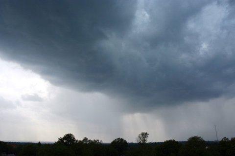
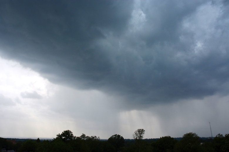
Summer is not quite here, but don’t tell that to the summer-like storms that are hanging around the area Sunday.
The storms are scattered throughout the region, so the timing of when they will hit depends on where you are. The western area of the state could see the brunt of the storms beginning around 4 p.m.
Storm Team4 Meteorologist Somara Theodore said that once the storms start, they’ll hit hard. Storm intensity could range anywhere from strong to severe.
“Any showers that do go ‘pop’ will be downright heavy,” Theodore said.
The storms will arrive with strong winds and the potential for hail. Areas north and west of D.C. could see a tornado touch down during the afternoon hours. Much of the impact of the storms however will be felt in Pennsylvania.
Forecast
Sunday: Partly sunny. Unseasonably hot and humid. Breezy. Scattered showers and thunderstorms, some locally strong or severe.
Highs: Upper 80s to near 90.Sunday Night: Storms ending early. Mostly cloudy, warm and muggy.
Lows: Upper 60s to low 70s.MONDAY: Scattered showers and a few thunderstorms from late morning through mid-afternoon. Very warm and humid. Breezy and turning less humid toward evening.
Highs: Mid to upper 80s, near 90 south of D.C.TUESDAY: Mostly sunny. Seasonably warm and very comfortable.
Highs: Mid to upper 70s.WEDNESDAY: Mostly sunny. Warm and pleasant.
Highs: Upper 70s to near 80.