WASHINGTON — Inside a sprawling, secure federal complex in Suitland, Maryland, sits a building housing some of the National Oceanic and Atmospheric Administration’s most secure systems. Among them is the Search and Rescue Satellite Aided Tracking System, commonly referred to as SARSAT. It’s where people who need help far, far away from anyone else can turn.
“For the calendar year 2018, we had 340 saves over 147 events,” said Lt. Aaron Collohan, the operations officer with the SARSAT program. “Those saves involved maritime actions, aeronautical action and terrestrial.”
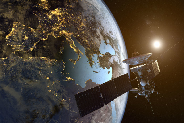
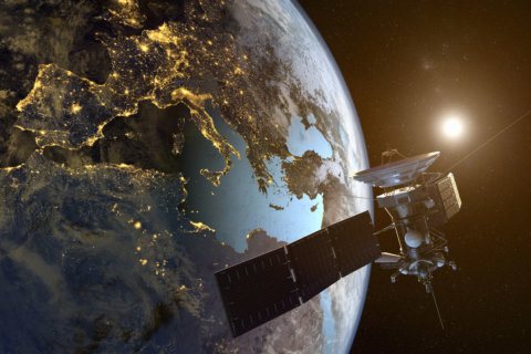
Essentially, planes and boats that launch their emergency beacons send that signal to weather satellites in space, which then beam it back to the SARSAT facility in Suitland. The office also receives signals that come from personal locator beacons carried by people hiking or driving in some of the world’s most remote regions.
“They go to the satellites and come to our control center and then we dispatch those alerts to the search and rescue forces in charge of those particular regions,” said Collohan.
It’s done in a matter of seconds.
“We’ve actually had this where somebody was injured in a car accident, and they were out of cellphone range,” said Collohan, “you can light off that beacon and we’ll respond to car accidents.”
Once NOAA gets that emergency signal it then coordinates with the whatever agency is the proper one to handle an emergency response, for example, the Coast Guard if it’s for a ship at sea.
Collohan said they’ve “seen a steady uptick” in rescues as the system of satellites has started to improve in outer space. “Between 250 and 310 [rescues] would be an average year. We did 340 last year.”

