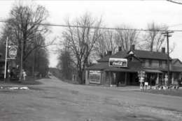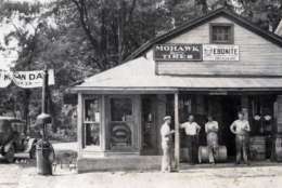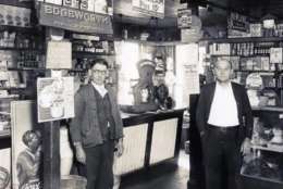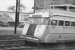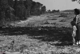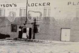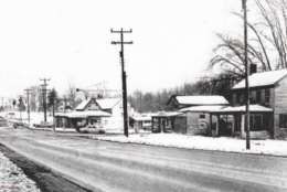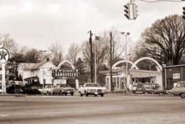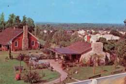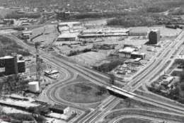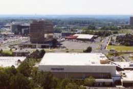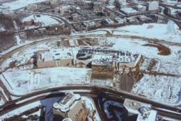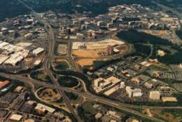
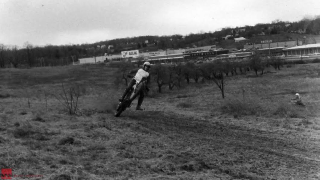
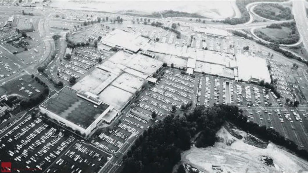
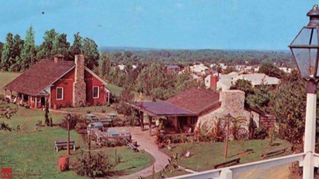
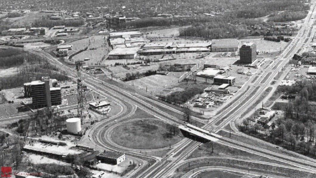
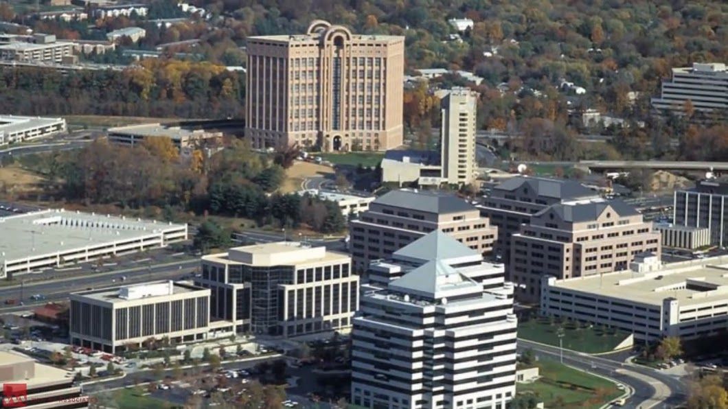
WASHINGTON — How far has Tysons Corner come? There has been a big shift over the past century in the area of Fairfax County where peach groves and corner markets are now glass and steel buildings and residential developments.
Take a look back in time at some images of the Tysons area over the years. And read Jeff Clabaugh’s special report, Booming Tysons, looming problems: Office vacancies, traffic headaches and more.
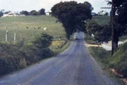
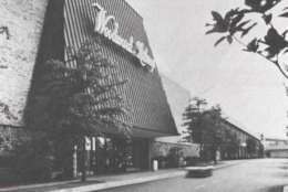
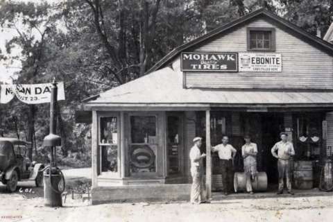
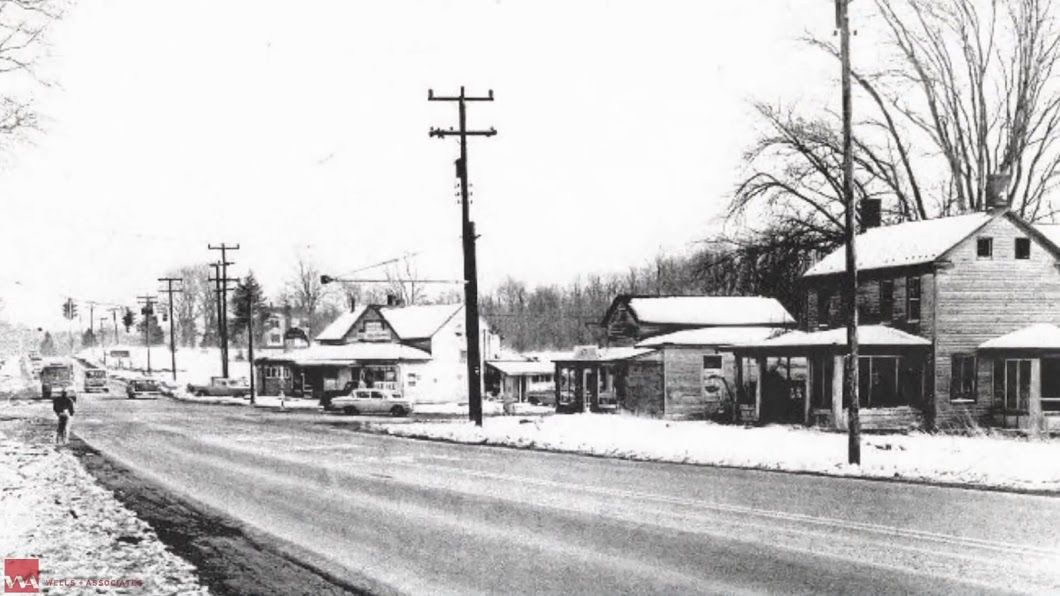
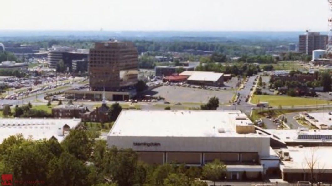
Courtesy Tysons Partnership
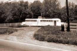
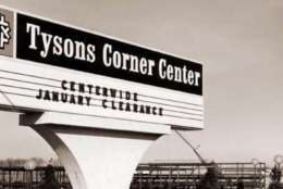
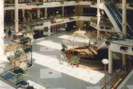
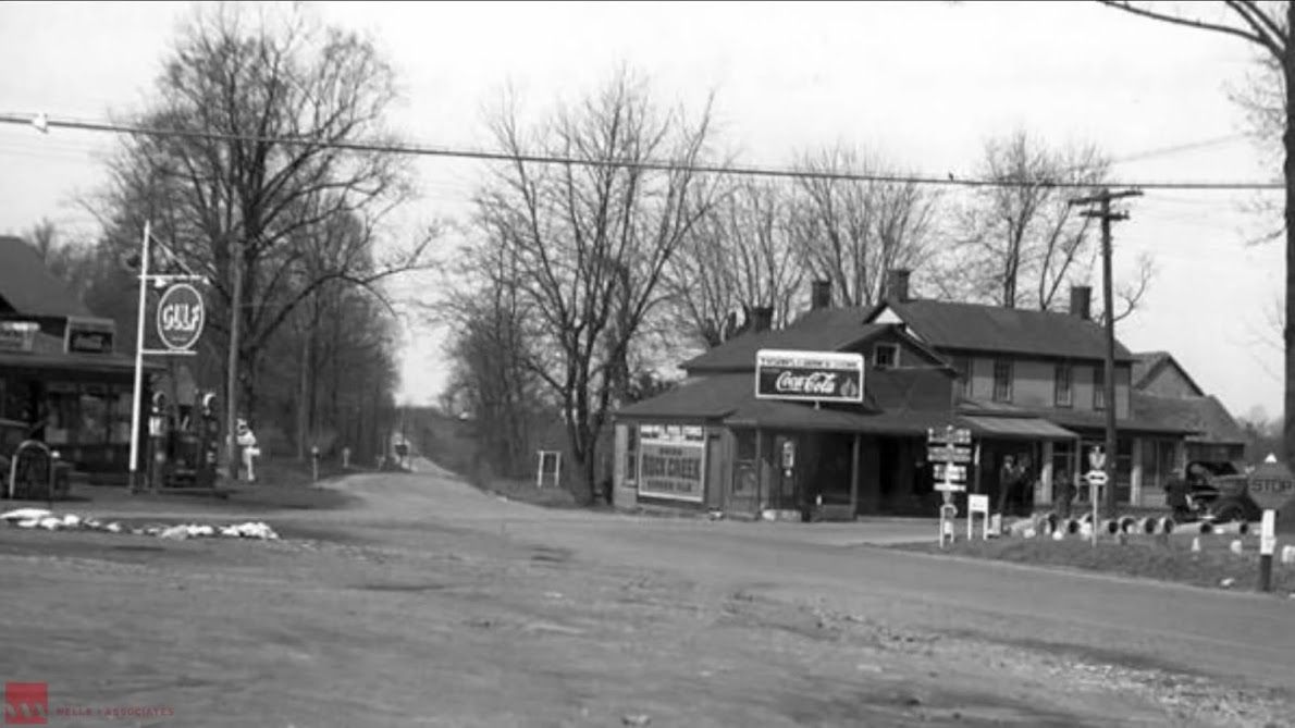
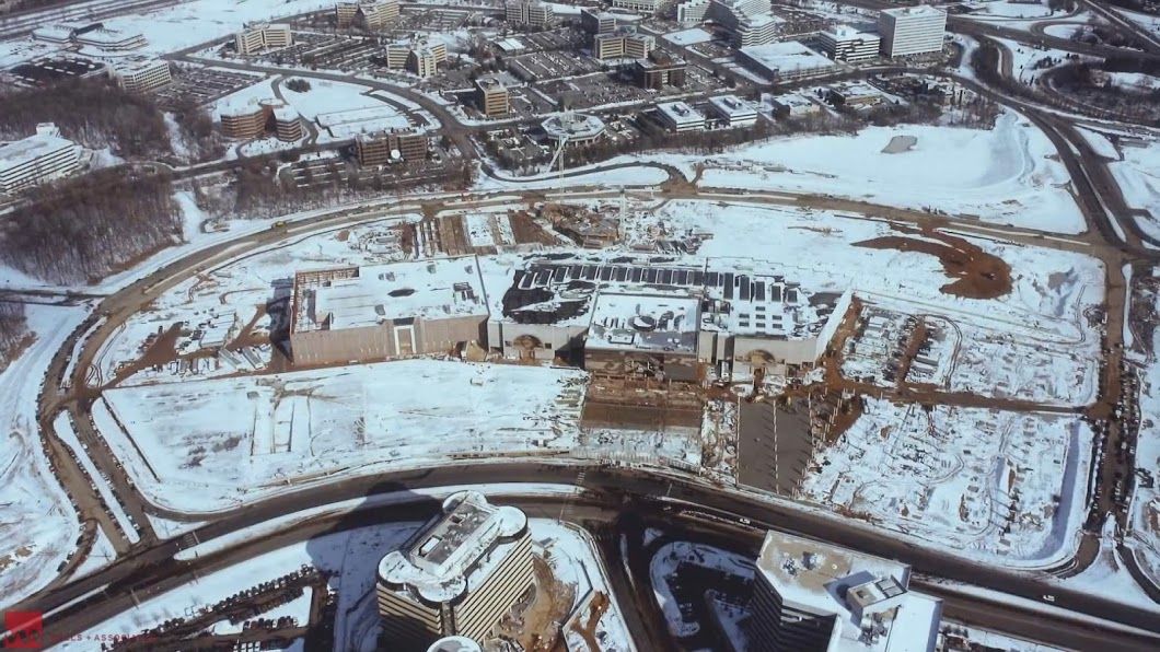
Courtesy Tysons Partnership
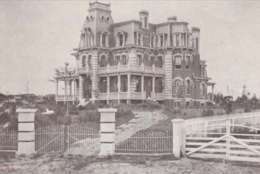
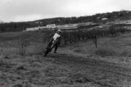
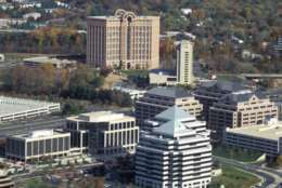
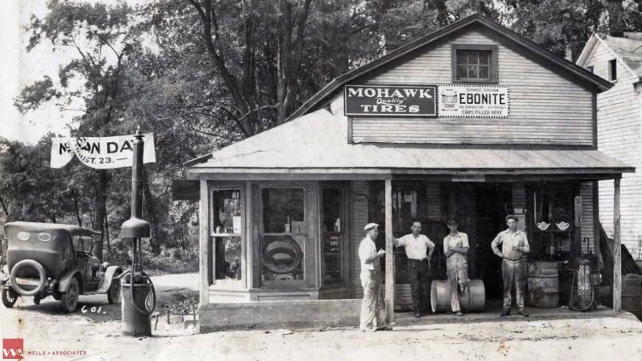
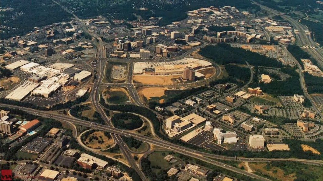
Courtesy Tysons Partnership
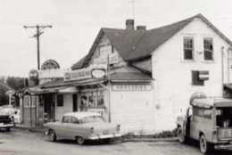
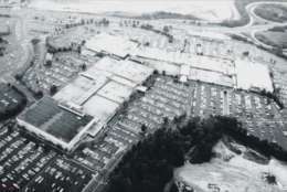
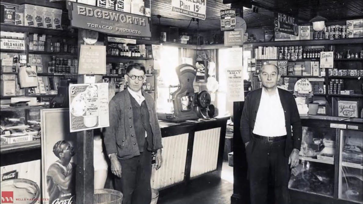
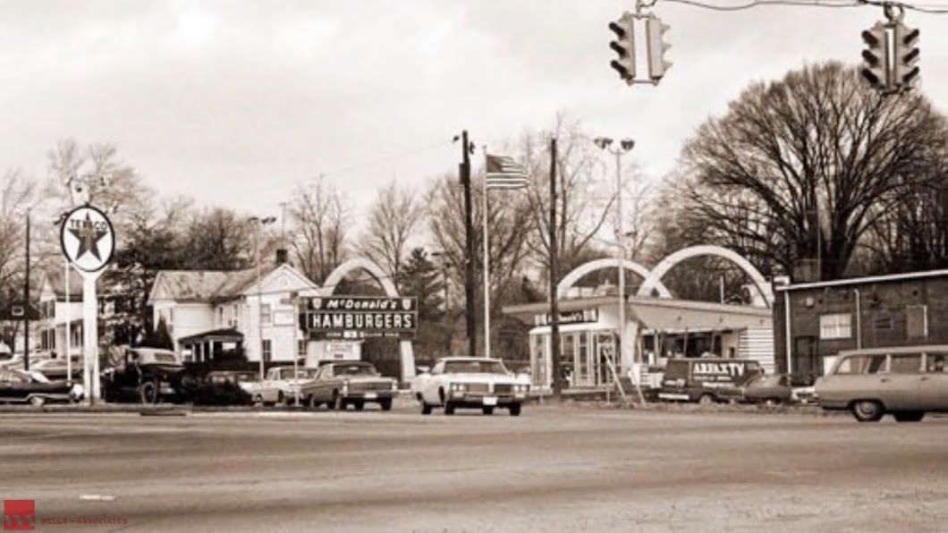
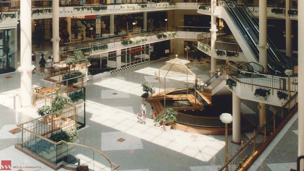
Courtesy Tysons Partnership
Courtesy Tysons Partnership
Courtesy Tysons Partnership
Courtesy Tysons Partnership
Courtesy Tysons Partnership
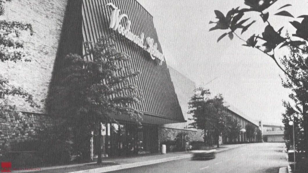
Courtesy Tysons Partnership
Courtesy Tysons Partnership
Courtesy Tysons Partnership
Courtesy Tysons Partnership
Courtesy Tysons Partnership
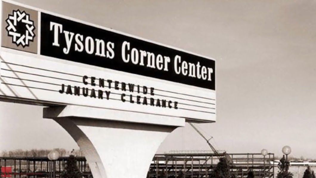
Courtesy Tysons Partnership
Courtesy Tysons Partnership
Courtesy Tysons Partnership
Courtesy Tysons Partnership
Courtesy Tysons Partnership
Courtesy Tysons Partnership
Courtesy Tysons Partnership
Courtesy Tysons Partnership
Courtesy Tysons Partnership
Courtesy Tysons Partnership
Courtesy Tysons Partnership