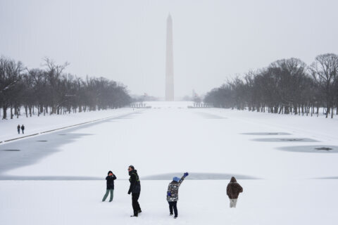
People across the D.C. region can expect a rough Tuesday morning commute, as rain and fog create slick conditions on area roads less than a day after a winter mix moved into the region.
Freezing rain is creating slick spots, as temperatures hover near freezing. Bridges, ramps and overpasses are most susceptible.
Conditions are expected to improve between 9 and 10 a.m., when temperatures rise above freezing and the threat of freezing rain ends.
A winter weather advisory is in effect until 10 a.m. for counties west of Interstate 95. The National Weather Service said affected areas include:
- Montgomery County, Maryland
- Howard County, Maryland
- Fairfax County, Virginia
- Fauquier County, Virginia
- Loudoun County, Virginia, and
- Prince William County, Virginia
Public schools in Fairfax and Loudoun counties are among the area schools on a two-hour delay.
The rest of Tuesday is expected to stay cool and damp, with pockets of drizzle and additional rounds of rain at night. Expect possible patchy fog into Wednesday morning.
Mild, muggy conditions are expected Wednesday, with highs in the 50s. Warmer highs in the 60s are likely south and west of the District. Expect scattered showers to continue.
The unseasonably warm temperatures continue Thursday, with highs reaching the upper 60s. Scattered showers remain possible.
The rest of Tuesday is expected to stay cool and damp, with pockets of drizzle and additional rounds of rain at night. Expect possible patchy fog into Wednesday morning.
- Listen to WTOP online and on the radio at 103.5 FM or 107.7 FM.
- Current traffic conditions
- Weather forecast
- Closings and Delays
- Sign up for WTOP email alerts
- Get custom alerts with the WTOP app for Apple and Android phones
7NEWS FIRST ALERT FORECAST
TUESDAY MORNING: Freezing rain and rain, with icy spots early. Slick areas likely on elevated surfaces. Improving midmorning. Temperatures between 30 and 35.
TUESDAY AFTERNOON: Cloudy, with isolated showers or drizzle. Cool, damp. Highs between 40 and 45.
TUESDAY EVENING: Rain likely. Patchy fog may reduce visibility. Temps in the 40s.
TONIGHT: Scattered showers, patchy fog. Roads may stay wet, reduced visibility at times. Lows between 37 and 43.
WEDNESDAY: Cloudy, milder. Scattered showers. Highs between 52 and 58.
THURSDAY: Clouds give way to some sunshine. Scattered showers possible. Highs between 58 and 68.
CURRENT CONDITIONS
Get breaking news and daily headlines delivered to your email inbox by signing up here.
© 2026 WTOP. All Rights Reserved. This website is not intended for users located within the European Economic Area.