Temperatures in the district reached 70 degrees on Dec. 11, two degrees past the previous high, just before a strong wave of rain and wind swept through overnight.
The National Weather Service expected a strong cold front carried by the high winds from the southwest through the northeast of the D.C. region. That same front developed storms that devastated several states across 200 miles of the Midwest.
Northern Virginia residents between Tysons and Reston also saw some power outages caused by the storm system. Dominion energy confirmed outages for roughly 4,000 in areas west of Dulles and east of D.C.
Some power outages in the region ended ahead of 10:30 p.m., though 6,000 customers in Loudoun County continued to deal with power outages after midnight.
The majority of outages in the immediate D.C. region had been resolved by 5 a.m. Sunday.
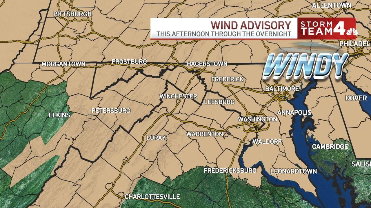
Add in a wind advisory that averaged 30 mph gusts, with up to 40 mph in some places, as well as some showers and potentially thunderstorms in spots, and you’ve got a bona fide spring day.
It’s go time for the damaging wind gusts. That squall line that is now moving through the northwest suburbs will have the potential to take down a bunch of tree limbs. @WTOP #DCwx #VAwx #MDwx pic.twitter.com/SDvYQkIatA
— Matt Ritter, WTOP Multimedia Meteorologist (@MetMattRitter) Dec. 12, 2021
The National Weather Service warned that these conditions could produce damaging winds.
Strong winds are expected today and tonight. A line of showers (perhaps an isolated thunderstorm) may cause damaging winds, especially this evening. See map for more details. pic.twitter.com/dRMqVm2OBA
— NWS Baltimore-Washington (@NWS_BaltWash) Dec. 11, 2021
Mild temperatures will grace the area through the first half of the workweek until topping out at around 60 on Thursday, per Ricketts, which will be followed by some rain and another cold front at the start of the weekend.
Forecast:
Sunday: Breezy, seasonably cool. Highs in the low 50s.
Monday: Mostly sunny, slightly milder. Highs in mid to upper 50s.
Tuesday: Sunny, warm. Highs in mid 50s.