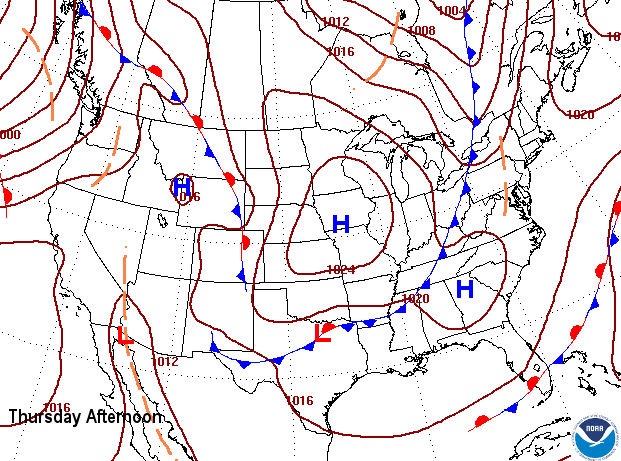
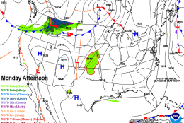
WASHINGTON — The new workweek starts out with brisk conditions since there will still be some wind leftover from Sunday.
Those strong winds were caused by the departing Hurricane Matthew, which had lost its tropical characteristics, but still had hurricane-force winds and deeply low atmospheric pressure. At the same time, high pressure was trying to build in from the Great Lakes. The difference in pressures between the two systems resulted in the strong winds.
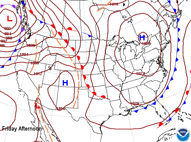
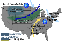
But as the high will build in directly overhead on Monday, the winds will die down. However, temperatures won’t be able to rebound to our seasonable averages — only getting about 20 degrees higher than the morning lows. Definitely a brisk start to the new week!
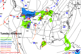
With the high pressure system directly overhead Monday night, winds will become calm. Skies will be clear and the air will be very dry. That means a lot of the heat of the day will escape into space and we will have some of the chilliest air we’ve had so far this season to greet us Tuesday morning for the commute. High-level clouds over the sunshine will also keep temperatures from getting to our average highs Tuesday afternoon.
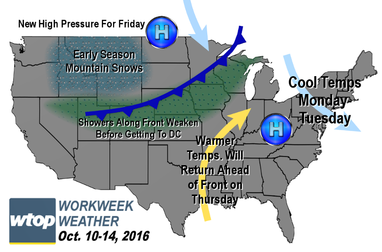
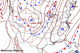
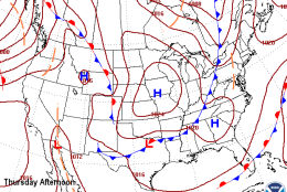
The high pressure dome will move to the east and northeast through midweek, so our rebound in temperatures will not be immediate. We won’t start getting more into a southwesterly flow and closer to average temperatures until Wednesday and Thursday. But on Thursday, clouds will be on the increase along a weak cold front that may bring a few sprinkles or some passing showers. The front does not look too impressive for being a rainmaker. But behind it will be another dome of high pressure bringing dry weather for Friday.
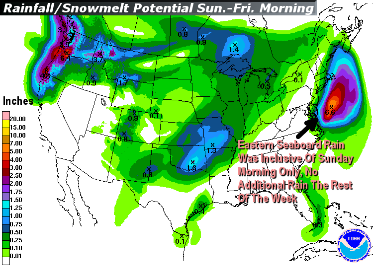
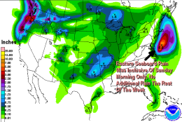
There is not a lot of rain on the way for the eastern seaboard this week, and that’s certainly good news for the devastated areas of the Mid-Atlantic and southeast states — areas hit hard by Hurricane Matthew.
Daily weather highlights
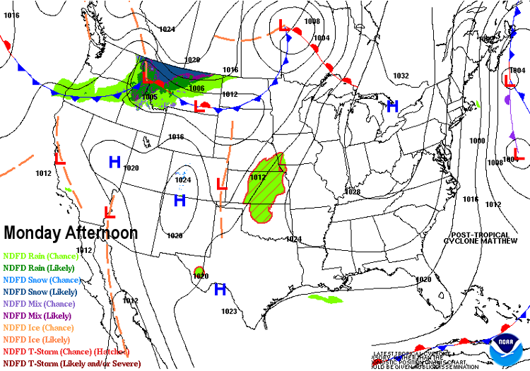
MONDAY
• Cool start; jacket weather
• Almost full sunshine
• Stays cooler than average all day
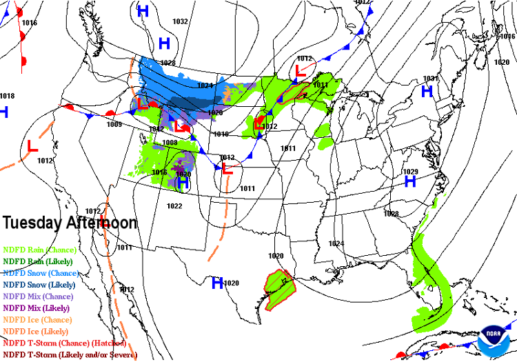
TUESDAY
• Chilly start; some of the Blue Ridge and Shenandoah Valley locations in the 30s
• Mostly to partly sunny; borderline sky cover; high, thin clouds
• Temperatures still below average
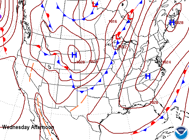
WEDNESDAY
• Not as chilly to start because of more nighttime cloud cover
• Partly sunny skies with high-level clouds
• Temperatures back closer to average depending on how thick the high-level clouds are
THURSDAY
• Milder start to the day gets high temperatures back up to the seasonable range
• Cold front increases the clouds during the day
• Only a slight chance for sprinkles or a brief passing shower
• Trace amounts of rain, if anything
• No delays likely for NLDS Game 5, if necessary, at Nats’ Park
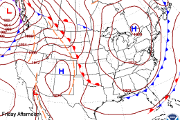
FRIDAY
• Some clouds in the morning with cool temperatures
• Lots of sunshine the rest of the day with a brisk wind
• High temperatures again below average
Editor’s Note: The WTOP Workweek Weather Blog is intended as an in-depth yet plain language summary of the business week’s weather potential in the D.C. area along with an explanation of the contingencies and uncertainties that exist at the time of publication. For the latest actual Storm Team 4 forecast, check out the main WTOP Weather Page.