WASHINGTON — Remember how we have been talking about El Nino? Well it is finally here!
According to the Climate Prediction Center, there is a greater than 90 percent chance that El Nino will continue to develop through the fall in the Northern Hemisphere and around an 85 percent chance that El Nino will last through the 2015-2016 winter.
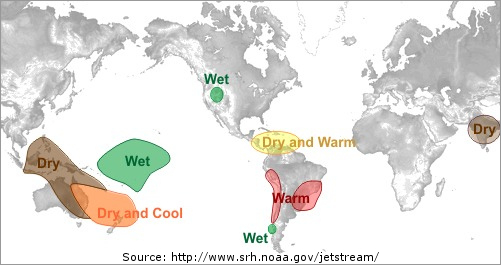
But what’s unclear is whether or not the weather pattern will create more extreme temperatures or precipitation here in the Mid-Atlantic throughout the rest of the year. The presence of El Nino could mean we’re in a for a harsh winter but the Atlantic hurricane season should be less active.
What is El Nino?
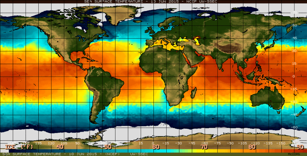
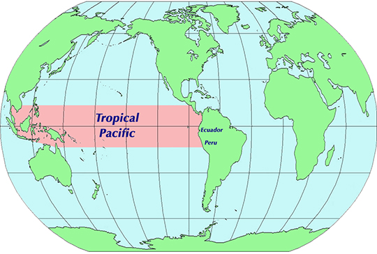
El Nino is a continued pattern that is characterized by the tropical Pacific’s warmest water spreading eastward to the coast of South America. (La Nina is the exact opposite with cold water). You can see from the graphic above that the warm water (represented by the darkest of the red hues) is directly around the tropical Pacific. The tropical Pacific is roughly from Central America south through the Central coast of South America and west to the Pacific islands, Singapore and Malaysia.
So what does this mean for us in the United States?
Not much, yet. Generally El Nino effects are more present and stronger during the winter months in the United States. This is because most ocean temperatures are at their warmest globally during the summer so there is not that much contrast between the Tropical Pacific and normal weather conditions here on the East Coast.
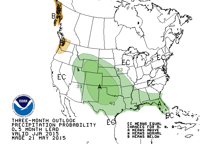
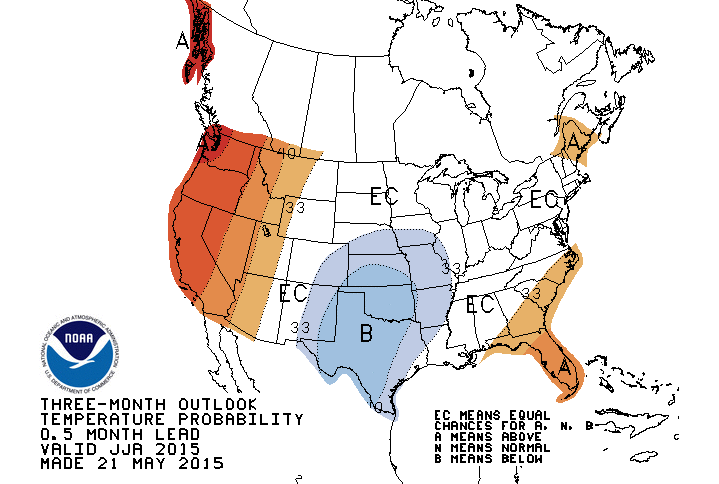
I know this doesn’t help anybody, but the WTOP listening area has equal chances of seeing above normal temperatures or below normal temperatures and above normal precipitation or below normal precipitation. The forecasters at the Climate Prediction Center felt that they have no evidence that favors above or below normal chances for temps or precip, so they forecast equal chances.
However, there are a few bigger issues that could affect portions of the United States due to El Nino’s conditions. One would be possibly a more active tornado season. After starting off on the slow side, we had 412 preliminary tornadoes in May of this year. That compares to 130 tornadoes of May in 2014 and 267 tornadoes in May of 2013.
Also, we tend to see an increase in the number of hurricanes in the Central and Eastern Pacific (the Eastern Pacific is already experiencing Tropical Storm Carlos that should become a hurricane over the weekend). But the number of hurricanes in the Atlantic will be on the small side (Tropical Storm Ana is the only one that has formed so far this season in the Atlantic Ocean). The reason for the smaller number of storms in the Atlantic is based on the Jet stream, which is positioned in such a way that it only increases the vertical wind shear. Wind shear (which is any change in wind speed or direction along a straight line) can weaken a hurricane significantly because it tears them apart.
So we will have to watch as we head into the upcoming winter to see just how strong the El Nino conditions are. If we tend to have a moderate to strong El Nino during the winter, we could have some bigger snow storms across the region.
However, only time will tell.