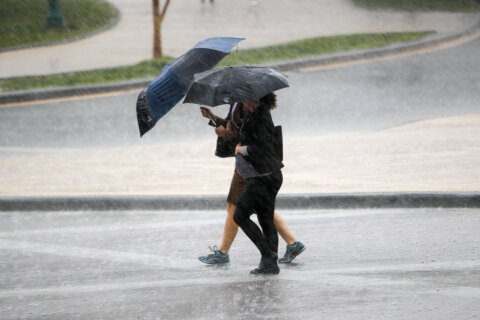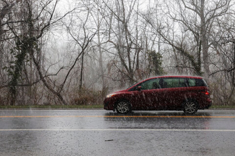
Parts of the D.C. region were slammed by heavy rainfall, high winds and hail Thursday as a tropical air mass welcomed in storms.
At one point, the National Weather Service issued a tornado warning for parts of St. Mary’s and Charles counties after a waterspout was spotted offshore near the Wicomico River.
Torrential rain created delays for afternoon commuters with ponding on some roadways and low visibility, WTOP Traffic’s Dave Dildine reported.
Afternoon and early evening thunderstorms dropped buckets of rain on the D.C. area, flooding some spots, and blew through with gusty winds that could knock out power.
“Rainfall rates of two to three inches per hour, so obviously visibilities are low,” WTOP Meteorologist Mike Stinneford reported at 4:30 p.m. “We’re still seeing a lot of heavy storms all the way back into West Virginia, and that’s all got to come through the area.”
Some of the storms carried in hail the size of quarters, according to the National Weather Service.
The D.C. region was under a flood watch from 2 p.m. until 7 p.m. Thursday. The weather service said urban areas along Interstate 95, which have seen heavy rainfall this week, were at the highest risk.
Dildine reported ponding and instances of flooding on major commuter routes, including the Beltway and I-270, during Thursday evening’s commute.
The chance for storms diminished by 7 p.m., when the weather service canceled its severe thunderstorm watch for most of the D.C. area.
“Lingering showers and storms will draw to a close this evening, a little bit of patchy fog overnight,” said 7News First Alert Meteorologist Steve Rudin.
- Listen to WTOP online and on the radio at 103.5 FM or 107.7 FM.
- Current traffic conditions
- Weather forecast
- Closings and Delays
- Sign up for WTOP email alerts
- Get custom alerts with the WTOP app for Apple and Android phones
Outside of the storms, Thursday was warm with highs around 85 to 90 and high humidity.
Friday afternoon could bring another round of storms. Periods of sunshine are expected to break through over the weekend.
Forecast
THURSDAY NIGHT:
Becoming partly cloudy. Areas of patchy fog
Lows: 68-75
Winds: West 5 mph
FRIDAY:
Partly cloudy. Scattered showers, storms possible
Highs: near 90
Winds: West 5-10 mph
SATURDAY:
Scattered PM storms
Highs: 78-85
Winds: North 5-10 mph
SUNDAY:
Partly cloudy
Highs: 83-88
Winds: Northeast 5-10 mph
Power Outage Map
Current Conditions
Get breaking news and daily headlines delivered to your email inbox by signing up here.
© 2026 WTOP. All Rights Reserved. This website is not intended for users located within the European Economic Area.