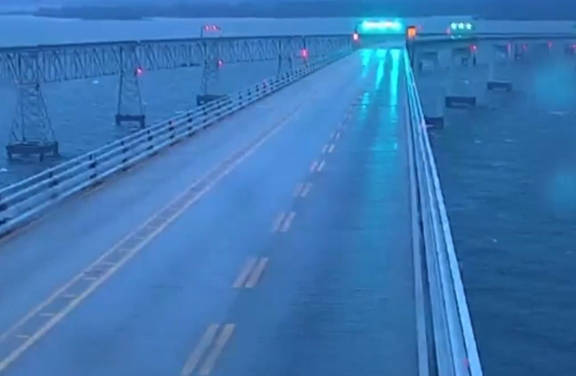
Heavy wind and drenching rain hammered the D.C. region Tuesday, shutting down both sides of Maryland’s Chesapeake Bay Bridge for four hours, inundating roadways and knocking out power to thousands. Here’s what you need to know.
Wind gusts as high as 80 mph were clocked at the Chesapeake Bay Bridge, with sustained winds reaching 65 mph. Gusts approaching 50 mph were reported all along the I-95 corridor, and Reagan National Airport measured a wind gust at 48 mph, according to WTOP Meteorologist Mike Stinneford. A high wind warning for nearly all of the D.C. region is in effect until early Wednesday.
Wind gusts and flooding from the storm system had a major impact on the afternoon commute, with traffic being held entirely on the Bay Bridge and the US-301 Nice/Middleton Bridge due to high winds. Other area roads flooded, power was knocked out for thousands of homes and businesses, and several school systems canceled afternoon activities or dismissed students early.
Around parts of the D.C. region, between 2-3 inches of rain fell Tuesday, according to the National Weather Service. A flood warning is in effect until Wednesday morning in parts of the region.
“I was just trying to think of the last time we saw a storm like this that was not a blizzard. Maybe something in 2009, 2010, when we had all that snow. But a warm, rainy, windy event like this — very unusual for January,” Stinneford said.
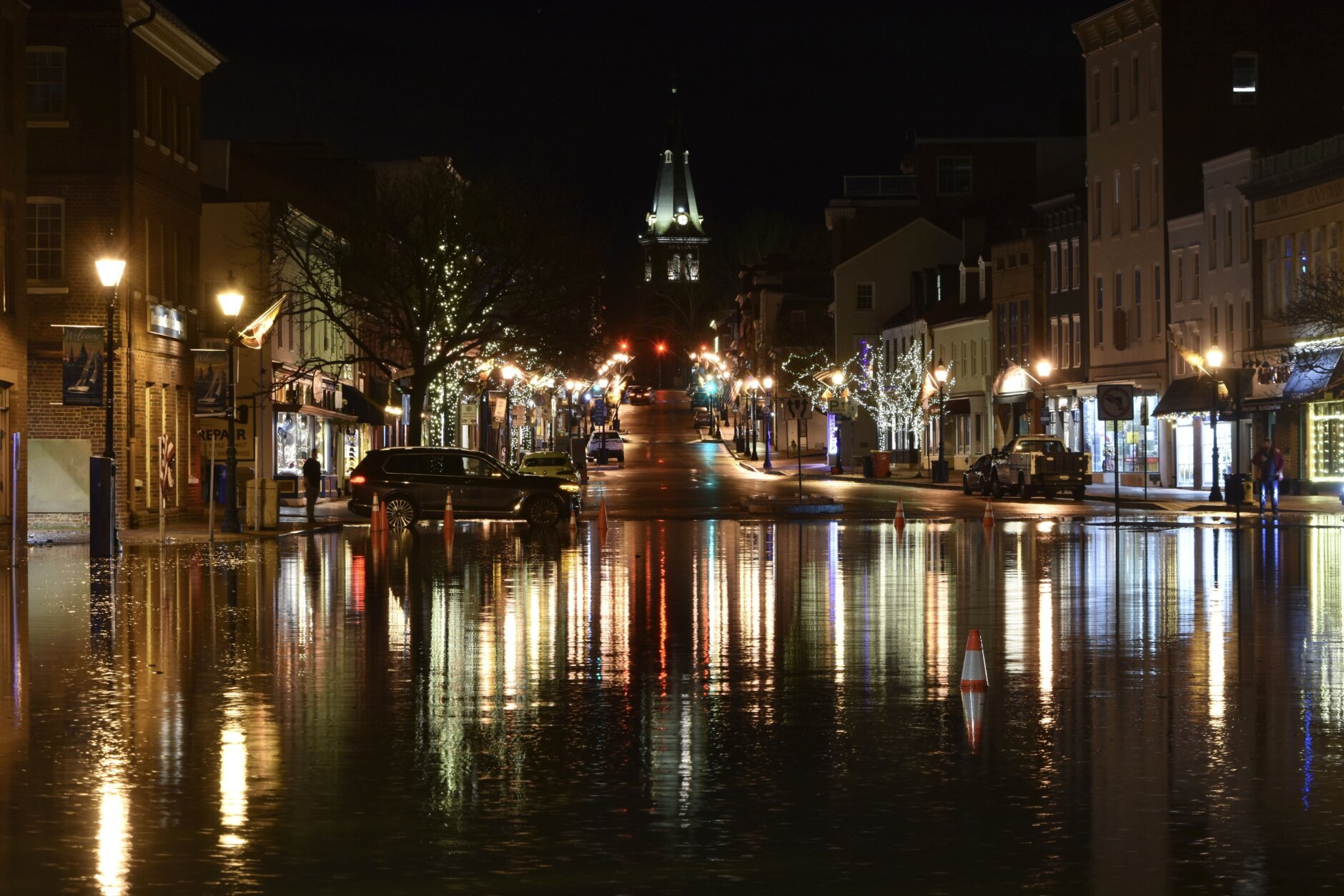

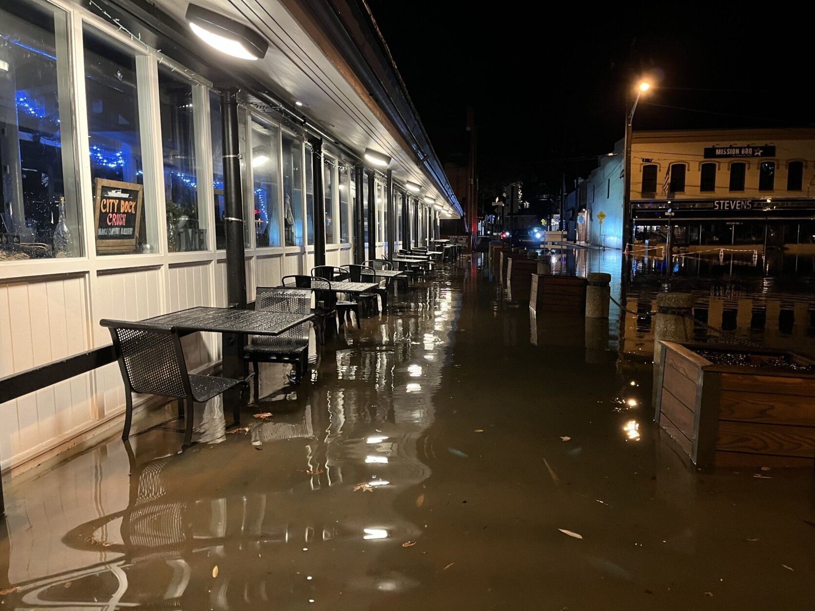


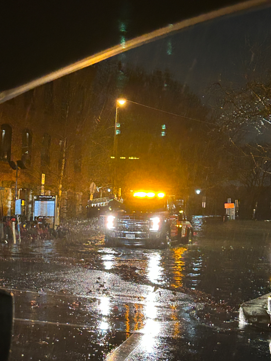
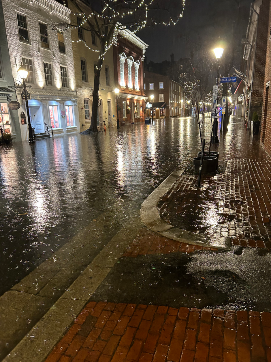
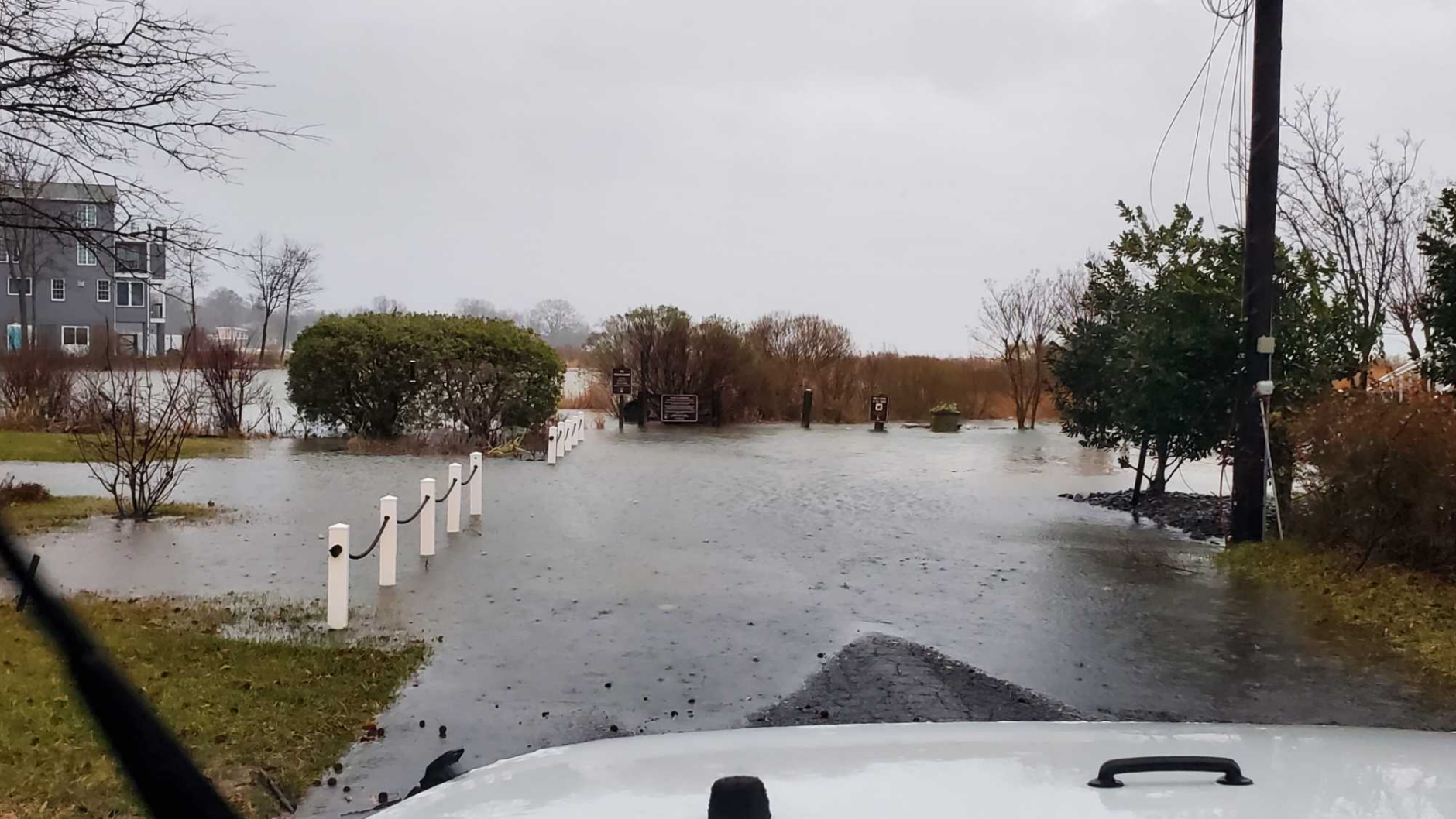
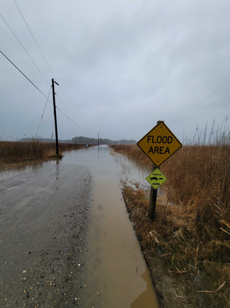
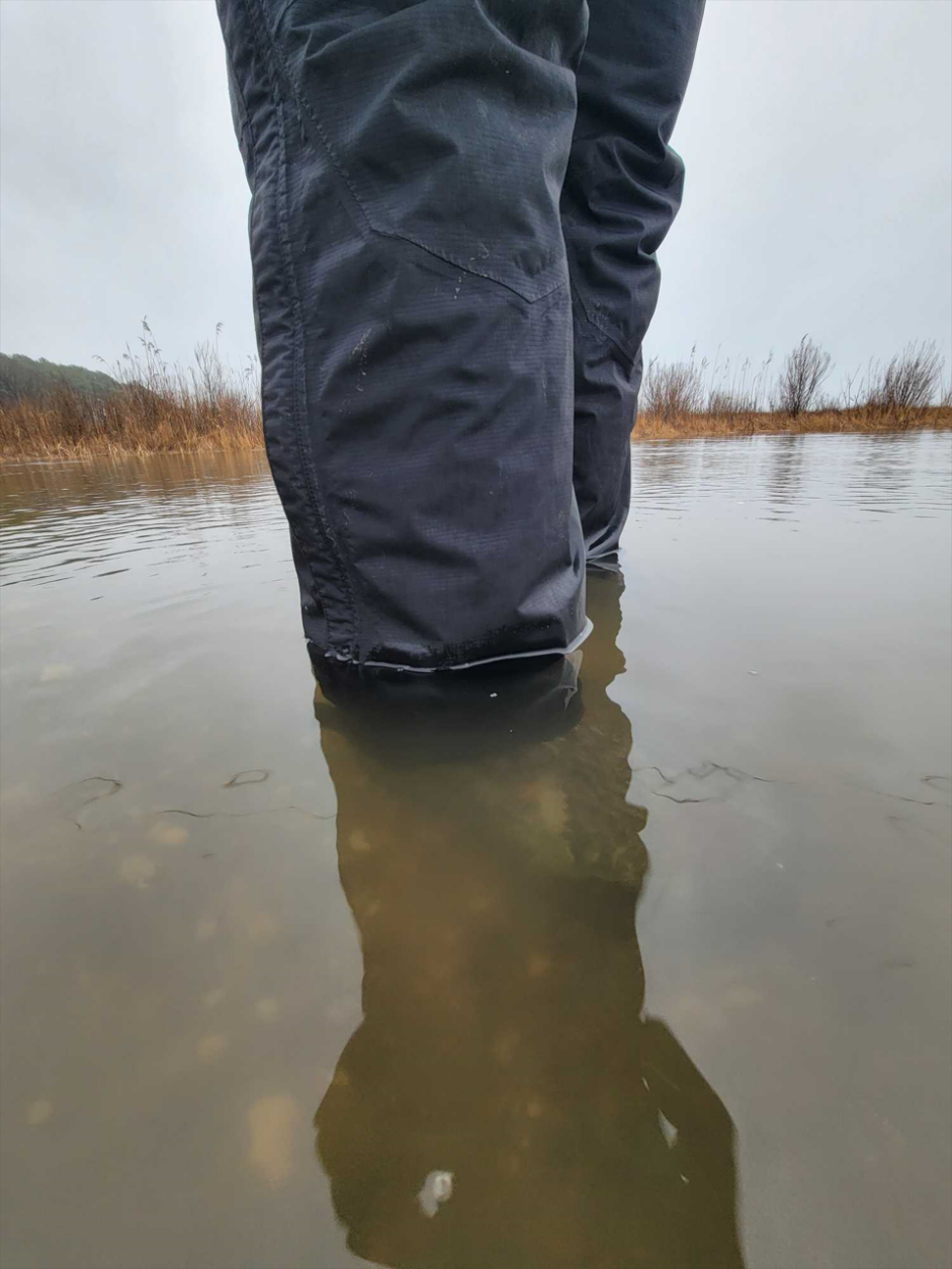









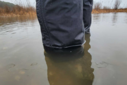



The high winds and rain came at a time when the ground was already soggy, increasing the risk for downed trees and power lines, according to Stinneford.
Wintry weather impacted parts of far western Maryland including Allegany and Garrett counties earlier in the day.
The rain is expected to fade overnight and into Wednesday morning but “winds will continue to howl,” according to 7News First Alert Meteorologist Brian van de Graaff.
- Listen to WTOP online and on the radio at 103.5 FM or 107.7 FM.
- Current traffic conditions
- Weather forecast
- Closings and Delays
- Sign up for WTOP email alerts
- Get custom alerts with the WTOP app for Apple and Android phones
Travel impacts
The heaviest rain fell during the afternoon rush hour.
Slick roads made for a messy drive home Tuesday. Several roads were closed in Fairfax County, Virginia, including Lawyers Road near Vienna and Henderson Road near Burke Lake, according to the Fairfax County Police Department.
In Takoma Park, Maryland, Sligo Creek Parkway was shut down between Flower Avenue and Piney Branch Road, Maryland-National Capital Park Police announced on social media.
Now in Silver Spring where the currents of Sligo Creek are really picking up and the water level rising. This area has seen flash flooding trap cars in the past. @WTOP pic.twitter.com/3gZTDl6yen
— Mike Murillo (@MikeMurilloWTOP) January 9, 2024
Wind gusts at the Chesapeake Bay Bridge reached 80 mph, which prompted the Maryland Transportation Authority to stop traffic on the bridge, according to a post on the agency’s social media.
“Bay Bridge closures are somewhat rare, only occurring about once a year or so, and are usually in effect for a couple of hours during the strongest winds. The last time all movement on Route 50 was held on the Eastern and Western shore was last April 1. It didn’t happen at all in 2022, according to the MDTA. It was closed for a few hours on the morning of Aug. 4, 2020, during Tropical Storm Isaias,” according to WTOP Traffic’s Dave Dildine.
The bridge closed around 4:45 p.m. and began reopening around 8:45 p.m.
“This is one of the longest weather-related Bay Bridge Closures I can recall in a while,” Dildine said.
Wind gusts far exceeded the threshold for closing the bridge, according to MDTA spokesman Tamory Winfield.
“For a bridge traffic hold to take place, you’re looking at sustained winds exceeding 55 mph, continuous for a period of time of 10 minutes or more, or wind gusts that persistently exceed 55 mph, over a period of 15 minutes,” Winfield said.
The bridge was shut down for more than 18 hours in 2012 during Superstorm Sandy. Hurricane Isabel led to a nearly 17-hour closure in 2003.
The US-301 Nice/Middleton Bridge was also shut down, according to MDTA. The bridge reopened with some restrictions about 30 minutes after it was closed.
Dildine also reported from the WTOP Traffic Center that a tree came down on the George Washington Parkway near Route 123, causing disruptions.
By Tuesday evening, highway crews were responding to several downed trees on the Baltimore-Washington Parkway near Route 100, Route 198 and Route 410. The eastbound lanes of Interstate 70 were blocked by a fallen tree near Route 29 in Ellicott City, Maryland, according to Dildine.
Two lanes of Rhode Island Avenue at Monroe Street in Northeast, D.C. were closed when a large branch came down on a tractor-trailer in the roadway, according to D.C. Fire and EMS.
In Maryland, Beach Drive was shut down from the D.C. line to East West Highway and from Kensington Parkway to Knowles Avenue, Maryland-National Capital Park Police said.
Power Outages
Thousands of homes and businesses across the D.C. region lost power Tuesday.
Energy utility BGE said to stay away from downed lines, even if they don’t appear to be live. Customers can report outages online, or over the phone by texting 69243 or calling 877-778-2222.
The map below contains current power outages in Virginia, Maryland and D.C. This map is updated every 10 minutes.
Closures
School districts across the WTOP listening area closed early or closed entirely Tuesday, and Tuesday night, a handful of school systems had already announced changes for Wednesday.
Virginia
The following school districts in Northern Virginia announced they’ll operate on a two-hour delay Wednesday morning:
- Culpeper County Public Schools
- Fauquier County Public Schools
- Fredericksburg City Public Schools
- Spotsylvania County Public Schools
- Stafford County Public Schools
Maryland
The following school districts in Maryland announced they’ll operate on a two-hour delay Wednesday morning:
- Anne Arundel County Public Schools
- Howard County Public Schools
Forecast
WEDNESDAY: WIND ALERT
Partly to mostly cloudy
Highs: 45-50
Winds: West Southwest 15-25 mph, Gusts to 40 mph
WEDNESDAY NIGHT:
Mainly clear
Lows: 25-35
Winds: Light
THURSDAY:
Mostly sunny
Highs: Low 50s
Winds: Southwest 5-10 mph
FRIDAY:
Increasing clouds, rain develops late afternoon/evening
Highs: Upper 40s
Winds: Southeast 5-10 mph
Current conditions
WTOP’s Dave Dildine contributed to this report.
Get breaking news and daily headlines delivered to your email inbox by signing up here.
© 2024 WTOP. All Rights Reserved. This website is not intended for users located within the European Economic Area.


