


Listen to WTOP online and on the radio at 103.5 FM or 107.7 FM for the latest road conditions and closures.
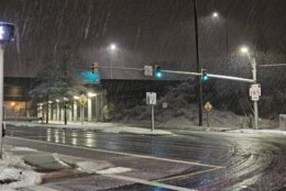
The unexpected wintry mix that made for a somewhat slippery morning commute is in the rearview mirror for D.C.-area drivers as blustery conditions are expected to dry roads out Monday.
Wind chills will put temperatures in the 30s as northwesterly winds blow through with gusts over 35 mph. Those winds should help dry out roads which were slushy in some parts of the region early Monday.
The remainder of the day should be a mix of sun and cloud.
“No snow, or any more rain in the forecast for the rest of the week,” Wheelan said.
Temperatures fall Monday night and the winds should die off by the evening.
“It’s going to be clear this evening with lighter winds, but it’s going to be cold with a lot of neighborhoods dipping below freezing overnight,” 7News First Alert meteorologist Eileen Wheelan said.
How much snow did we get?
| Location | Storm snowfall total |
| D.C. (National Arboretum) | Trace amounts |
| La Plata, Maryland | .8″ |
| Bolivar (Frederick County, Maryland) | 3.8″ |
| Sykesville, Maryland | 1.5″ |
| Damascus, Maryland | 2.5″ |
| Germantown, Maryland | 1.5″ |
| Falls Church, Virginia | .2″ |
| Chantilly, Virginia | 1.5″ |
| Dulles International Airport | .5″ |
| Dale City, Virginia | 1″ |
See more snowfall totals from the National Weather Service.
Where did that snow come from?
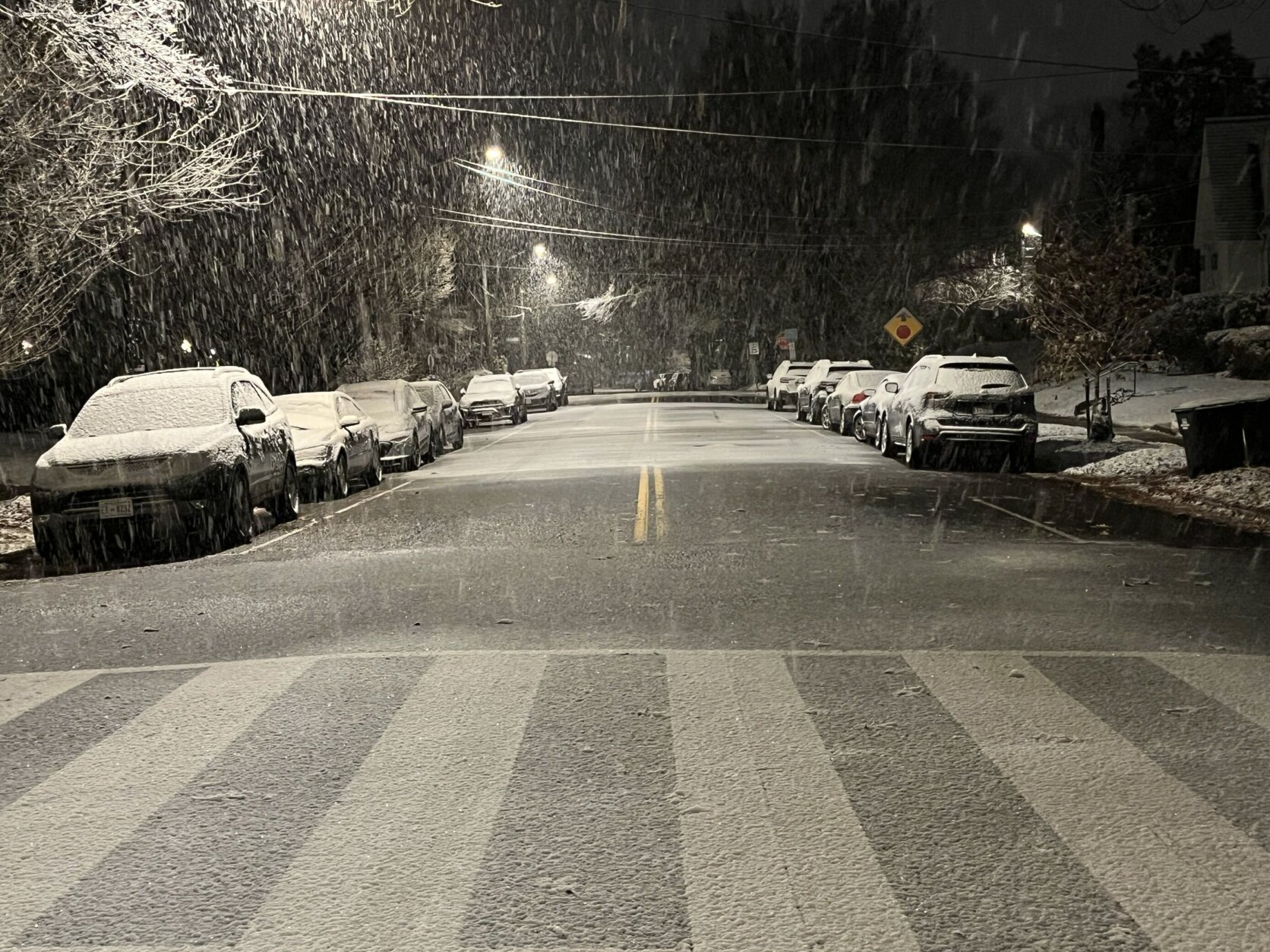
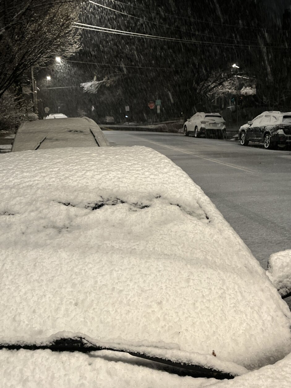
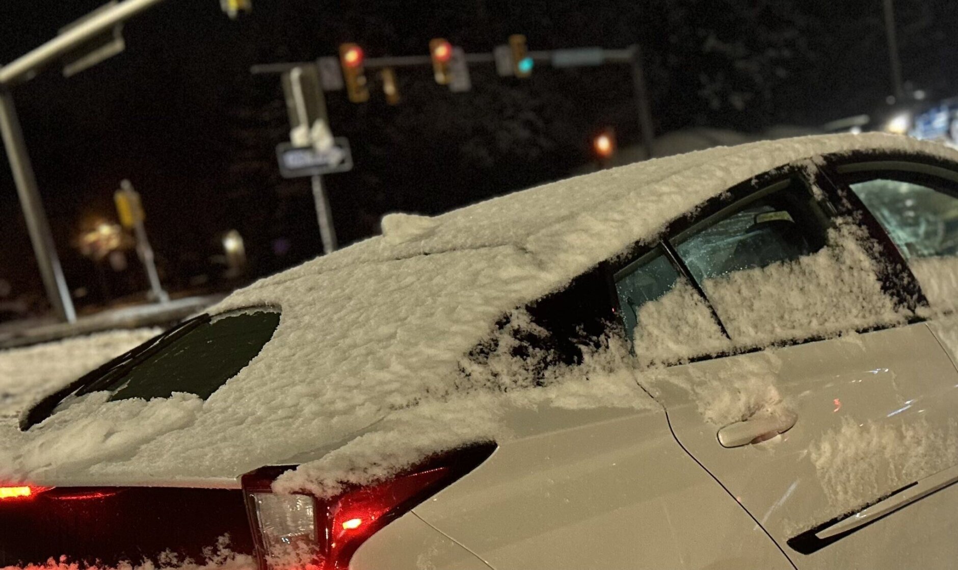
What was expected to be more of a rain-heavy mix turned into a snow event that “overperformed” in several spots in the area on Monday, WTOP meteorologist Lauryn Ricketts said. She added that the storm created “snow-covered roads” in some areas, despite temperatures reaching the 60s on Sunday.
According to 7News First Alert meteorologist Brian van de Graaff, it was the second snowfall of the season after there were trace amounts recorded last Wednesday at Reagan National Airport.
Despite the warmer weather, snow did stick in parts of the region with Stafford County, Virginia, reporting just over an inch of snow while Herndon recorded .9 of an inch.
Yup, big wet snowflakes coming down early this morning, as promised @wtop @WTOPtraffic pic.twitter.com/MXPBjQesBD
— John Aaron (@JohnAaronWTOP) December 11, 2023
Slippery conditions and delays
The surprise weather caused multiple school systems in Maryland and Virginia to open two-hours late due to road conditions. WTOP has a list of all the school closings and delays online
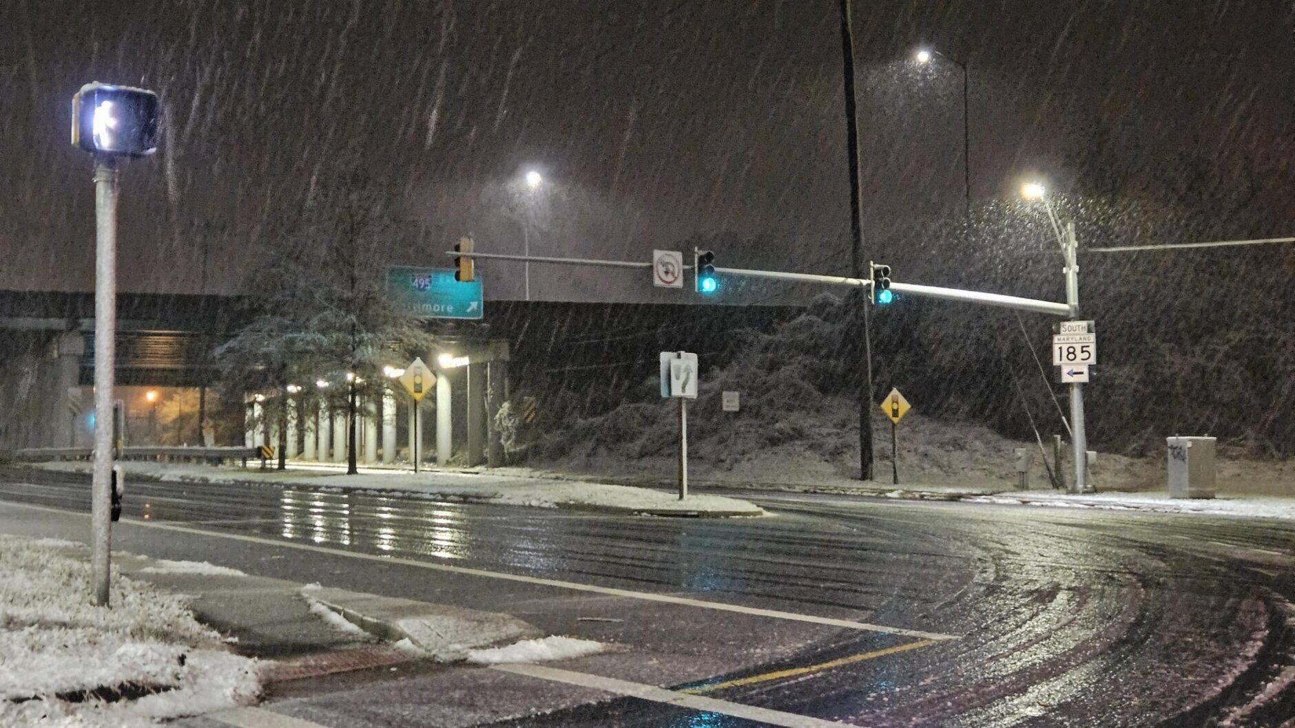
Crews were unable to pretreat the roads surfaces prior to Monday’s early storm due to Sunday’s rain, creating a more slippery commute, Ricketts said. Around 1.5-2 inches of rainfall was measured Sunday.
The WTOP Traffic Center reported over an inch of wet snow in Montgomery County that has made for some slick driving conditions.
Crews in Montgomery County responded to a crash on Interstate 495 on the Capital Beltway’s Inner Loop before Colesville Road just before 6 a.m. The incident caused investigators to closed all four lanes starting at around 7:15 a.m. All lanes reopened by 11:30 a.m., WTOP Traffic reported.
“If you’re out and about, do use caution, watch your speeds and hopefully, this snow will pass,” WTOP’s Steve Dresner said.
The snow stopped falling shortly after 6 a.m., but it remained visible on grassy surfaces and parked cars throughout the morning.
As many drivers headed into work, WTOP’s Neal Augenstein reported that there was slushy ponding on the curb lanes of commuter routes while he drove from Loudoun County through Fairfax County and then to Montgomery County.
“It was a good chance to dabble with driving in winter conditions,” said Augenstein.
Current weather
Forecast
MONDAY: WIND ALERT
Partly cloudy, blustery and colder.
Highs: Mid-40s
Wind Chills: 30s
Winds: Northwest 15-25, Gusts to 35+ mph
MONDAY NIGHT:
Mainly clear.
Lows: 23-33
Winds: Northwest 5 mph
TUESDAY:
Mostly sunny.
Highs: Mid- to upper 40s
Winds: Southwest 5-10 mph
WEDNESDAY:
Partly cloudy, breezy.
Highs: Mid- to upper 40s
Winds: Northwest 5-15, Gusts 25 mph
THURSDAY:
Sunny.
Highs: Low 40s
Winds: Northwest 5-15 mph
Power outages
No power outages are reported at this time.
WTOP’s Jessica Kronzer contributed to this report.