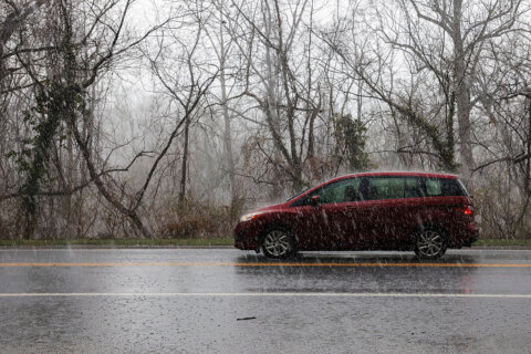
Though we predict that early November will bring a brief return of warmth to the area, winter is not far behind. Now, let’s talk snow. When will the D.C. region see its first inch of accumulation?
Even though a hard freeze ended the growing season in D.C’s northern and western suburbs, the prospect of snow is still weeks away.
A quick glance at weather history for the eastern U.S. shows the first storm to drop an inch of snow usually hits northern Maine in early November. Northeast precipitation picks up from there and heads south, with Asheville, North Carolina, usually seeing its first inch of snow by the end of December.
Boston’s first inch of snow usually comes the week before Christmas, with New York City about a week later.
For the past two years, the D.C. area’s first inch of snow came after the holiday season concluded: Jan. 3 in 2022, and Jan. 31 in 2021. For 2019 and 2020, no single storm in the D.C. area accumulated an inch of snow.
But there are exceptions to the post-holiday snow pattern.
In 2018, a southern storm produced 1.4 inches of snow on Nov. 14. In 1953, a whopping 6.5 inches of snow dropped on Nov. 5. Official records on the region’s snowfall date back to 1941.
As far as the latest the first inch of snow has fallen, in 1950 we didn’t get a full inch until March 16.
If you are wondering if an earlier-than-average first inch of snow foretells a snowier than average winter — it doesn’t.
The 2018 to 2019 winter, which never had a storm that dropped an inch or more, actually resulted in an above average 15.2 total inches for the season. For the 1953 to 1954 winter, only 11.3 inches of snow were recorded.
13.7 inches has been the area’s average since 1941.
For this upcoming season, the large-scale weather pattern looks to support our first flurries sometime after mid-November.
Elsewhere in the country
Outside of the Northeast, there is a wide range of first-inch snow dates.
Weather in Denver, Colorado, can switch on a dime in October. The Mile-High City’s first inch of snow normally occurs in the last few days of October. For this year, it is predicted the earliest the first inch will fall in November, while last year Denver didn’t see an inch accumulate until Dec. 30. 2020 was a different story with a surprise inch of snow that fell on Sept. 7.
In North Dakota, Bismarck’s average first inch falls in mid-November. The northern Plains were grazed with snow earlier this month, but not enough to measure. One of the earliest dates for the first inch was Sept. 22, 1984. The trend for the past three winters has been earlier than average, with the first inch falling on Oct. 9 in 2019, Oct. 19 in 2020 and Nov. 11 in 2021.
The lake-effect snow season usually hits the ground running in November, but this year got a jump start in October.
Sault Saint Marie, Michigan, is a prime example of a city with a rich history of lake-effect snow. The first inch of snow is almost guaranteed by early to mid-November. However, this year it arrived two weeks early on Oct. 19, with 2.1 inches. This was just eight days shy of the earliest recorded inch of accumulation, which occurred Oct. 11, 2012.
The South has to wait the longest for winter to arrive in full-throttle mode. Mid-January is when Oklahoma City sees southern storms deliver the best combination of Gulf moisture and cold air seeping off the Rocky Front Range to produce an inch of snow. These storms are also notorious for producing significant freezing rain that leads to major ice accumulation.
The maritime influence of the Pacific usually keeps Seattle from seeing its first inch until January, though occasionally a cold December storm can produce an inch.
The last region to see its first inch of snow is the Southeast in early to mid-February. This is when the storm track typically shifts far enough south to bring just the right combination of cold air and moisture to the Lower Mississippi Valley.
On occasion, a rare major March snowstorm can be the South’s first and only snow of the year. This was the case in the 1992-93 winter when an Arctic outbreak combined with an active storm track and produced the Blizzard of ’93. For Jackson, Mississippi, the first inch accumulated on March 11, 1993 and for Mobile, Alabama, it was the next day.
Florida rarely sees an even an inch of snow, though a rare winter storm did produce an inch in Pensacola on Jan. 28, 2014. Jacksonville’s last inch of accumulation was recorded back on Feb. 13, 1958.


