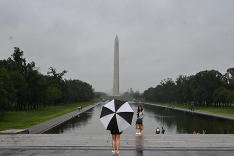
The pattern of hot days and dramatic, stormy evenings in the D.C. area mostly wound down this weekend. But for how long? Here’s what you need to know.
Strong thunderstorms started to move up Interstate 95 from Spotsylvania County, Virginia, early Saturday evening, but worries they would bring the heavy rains, severe lightning and another chance at area flooding, were short lived.
There was still a scattering of showers throughout the day into evening, but nothing like earlier in the week.
Forecasters with the National Weather Service still said there was a chance for thunderstorms and scattered showers through Saturday night.
Otherwise, Saturday evening turned out to be mostly cloudy, humid, with temperatures dipping into the lower 70s.
Saturday afternoon was mostly sunny with a few scattered showers and thunderstorms around the D.C. region. Highs were in the 90s, but the heat index from all the area’s accumulated humidity got near 100 degrees.
The District’s Heat Emergency Plan activated at 1 p.m. to open cooling centers for residents. A map of cooling centers is available online.
Though the National Weather Service had issued a flood watch for the area west of D.C. around the I-81 corridor until 8 p.m. on Saturday, it was cancelled early evening.
The heat and humidity will continue on Sunday when temperatures may climb into the mid 90s, but Monday is predicted to be even hotter.
Storm recovery efforts continues
Thousands remained without power across D.C., Maryland and Virginia on Friday as another round of strong storms swept through the region.
That storm brought roughly an inch of rain to the region, according to measurements taken at Reagan National and BWI Marshall airports.
D.C. Fire and EMS also reported some downed trees and a water rescue — several unoccupied vehicles remained stranded in high water overnight.
- Listen to WTOP online and on the radio at 103.5 FM or 107.7 FM.
- Current traffic conditions
- Weather forecast
- Closings and Delays
- Sign up for WTOP alerts
Meteorologist Chuck Bell told WTOP that flooding persisted along some vulnerable roadways and low lying areas that were still dealing with Thursday’s deadly severe weather
Meanwhile, BGE said late Saturday afternoon that they have restored electricity to about 98% of its Maryland customers who lost power during strong storms Thursday and Friday nights. They said around 2,500 customers remain without power.
On Friday, a tornadic waterspout to land at Smith Island, Maryland, a chain of islands with roughly 200 residents. Officials said the potential tornado damaged 17 homes and caused some substantial power loss.
Maryland Gov. Larry Hogan called the storms “another reminder of how smaller storms can turn into severe and damaging weather events.”
“Just spoke to Somerset County Sheriff Ron Howard regarding the situation on Smith Island following last night’s storm,” Hogan said. “Damage assessment teams are on the ground. We’ve offered him the full resources of the state to assist with the response”
While a fundraiser is underway to help alleviate the financial burden of the severe storm — it has raised more than $70,000 since it started — the problems of gaining resources and restoring power persist.
“Most everything and everyone that comes to Smith Island arrives by boat,” according to the Smith Island Center.
Forecast:
Saturday night: Mostly cloudy, sticky. Temps: 70s.
Sunday: Partly cloudy, warm and humid. Isolated storms later in the day. Highs mid 80s to low 90s.
Monday: Mostly sunny with isolated storm possible. Temps: Low to Mid 90s. Heat Index: Lower 100s.
Tuesday: Mostly sunny. Small chance of a storm. Temps: Low to Mid 90s. Heat Index: Lower 100s.


