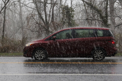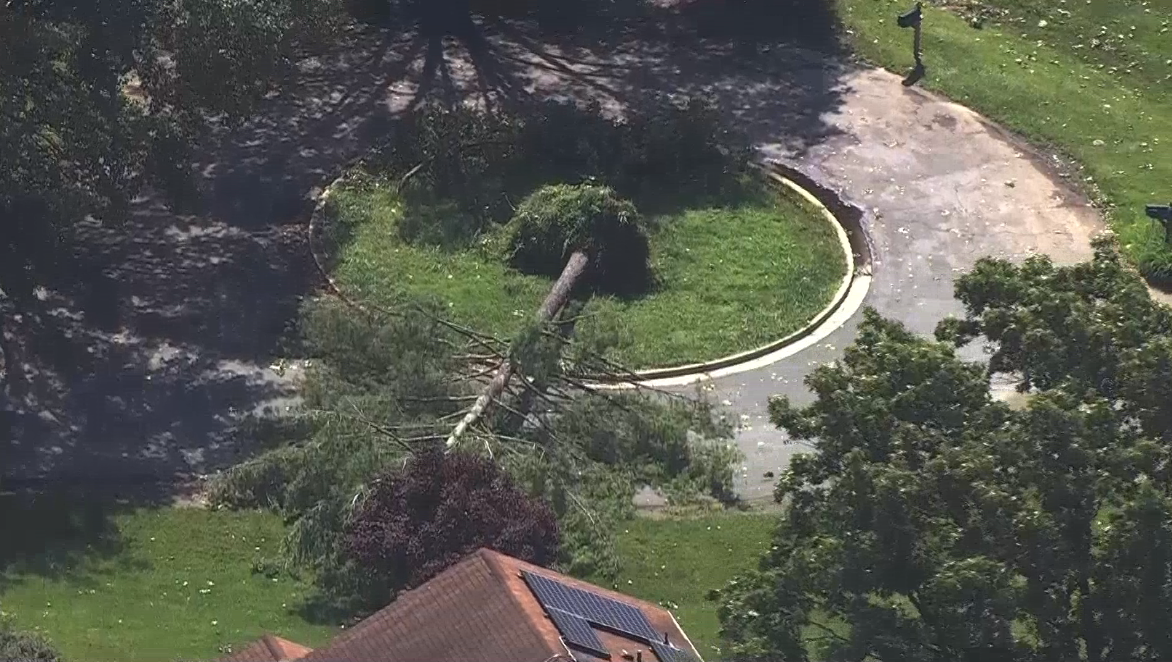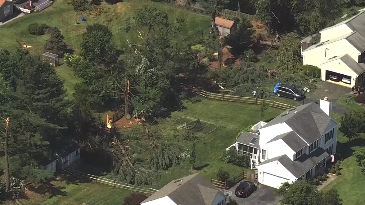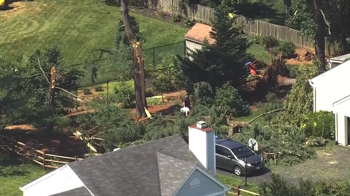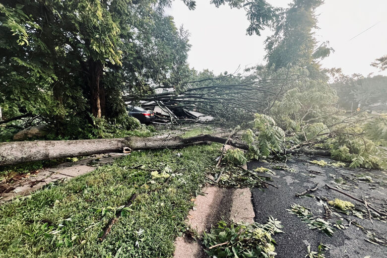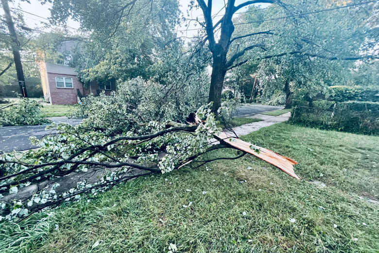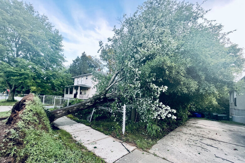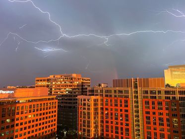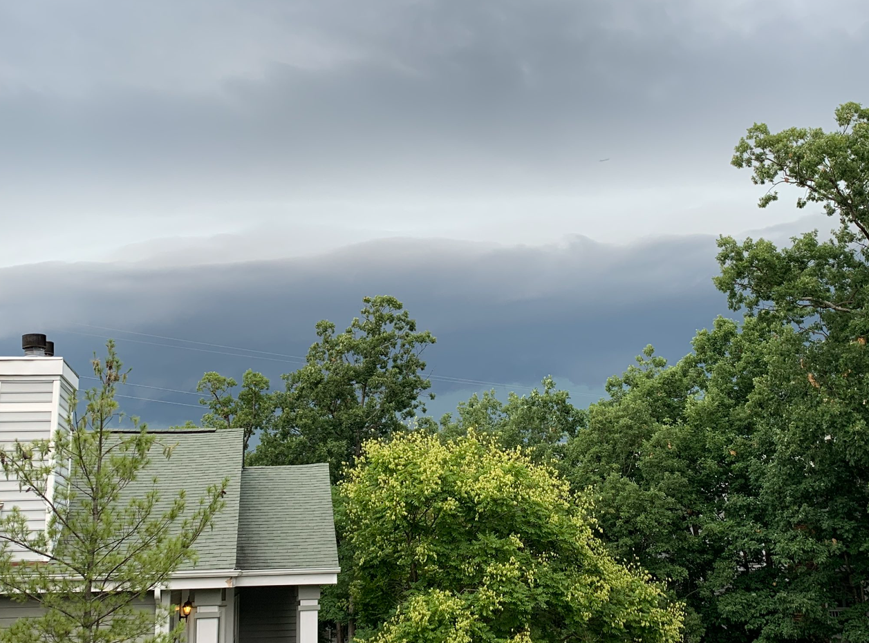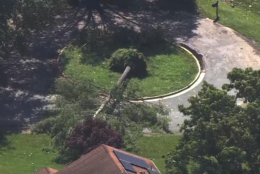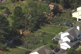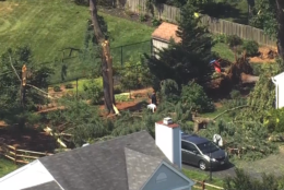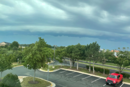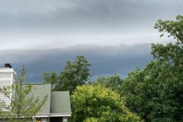


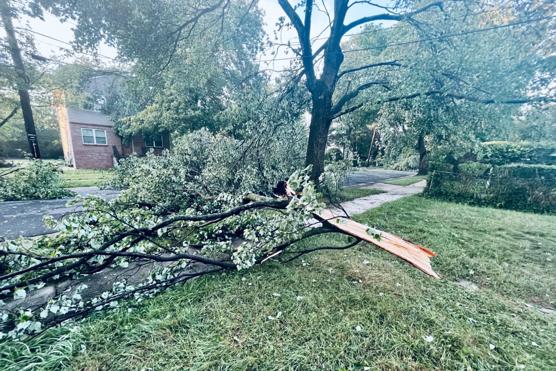
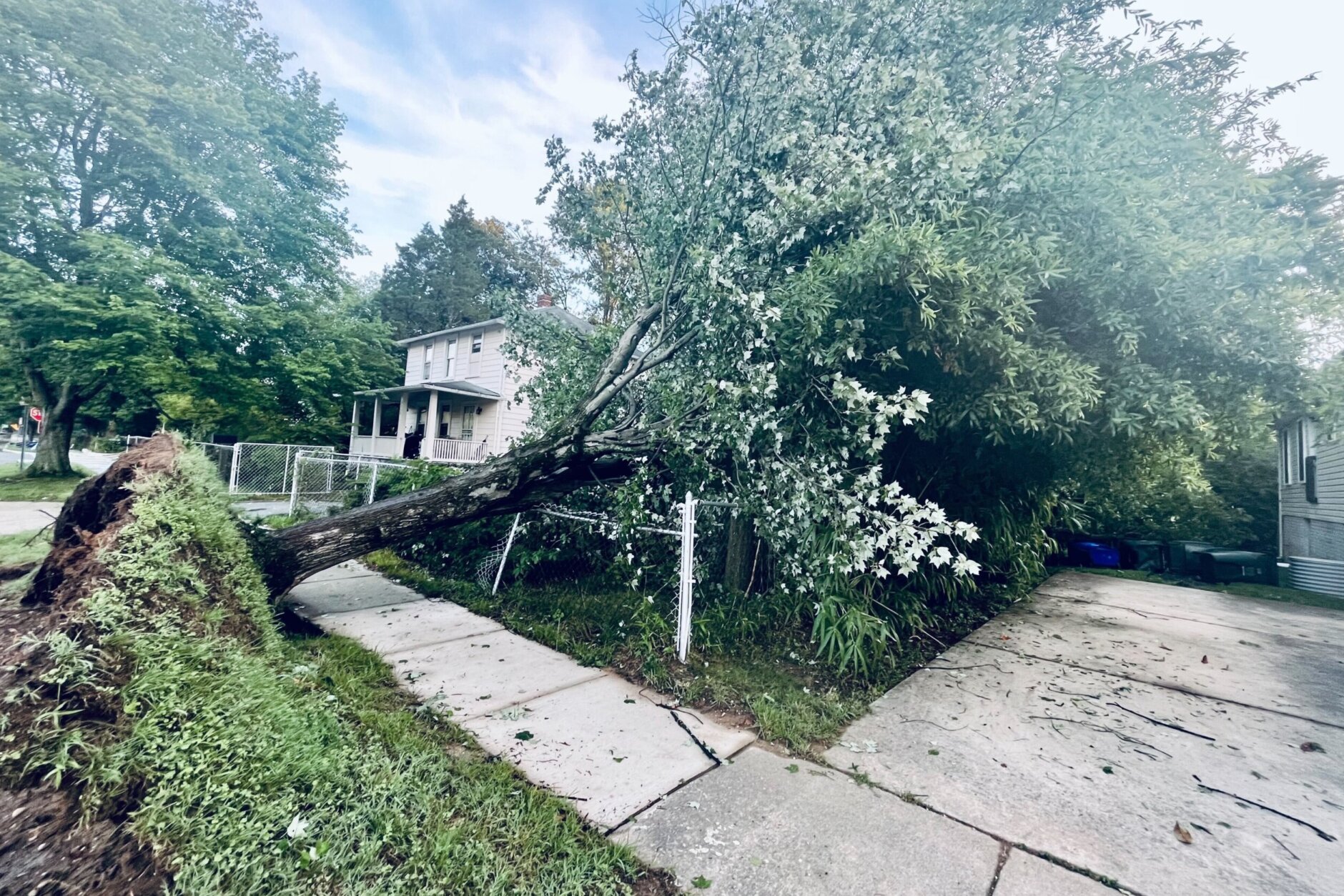


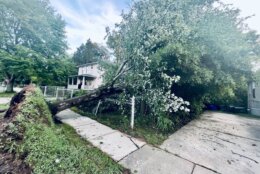
The D.C. region is picking up the pieces after thunderstorms brought destructive wind gusts Tuesday evening, downing trees, severing power lines and leaving tens of thousands in the dark through the overnight hours into Wednesday.
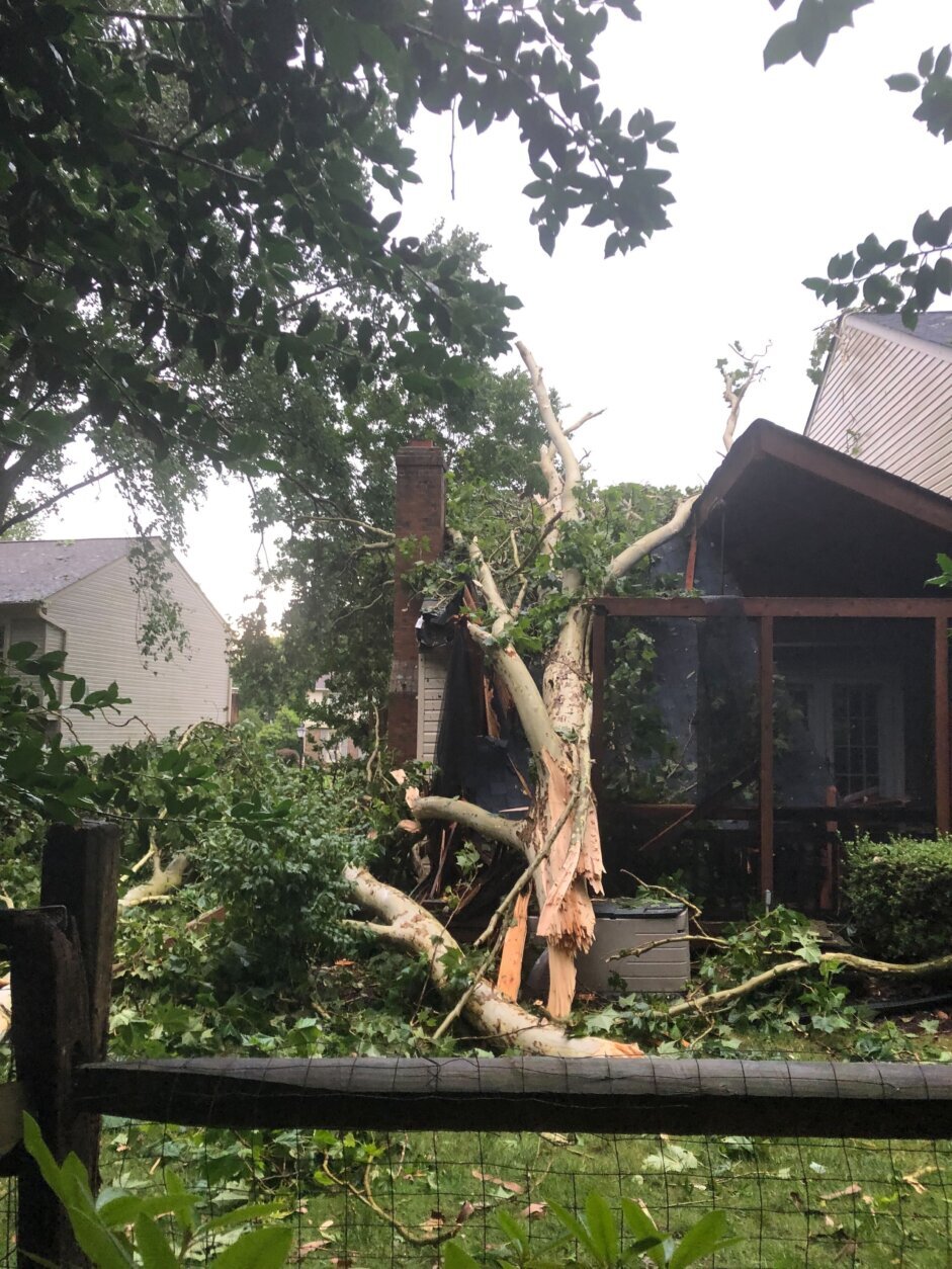
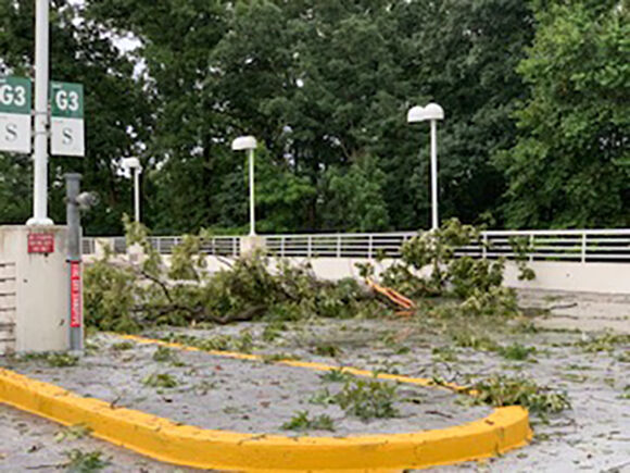
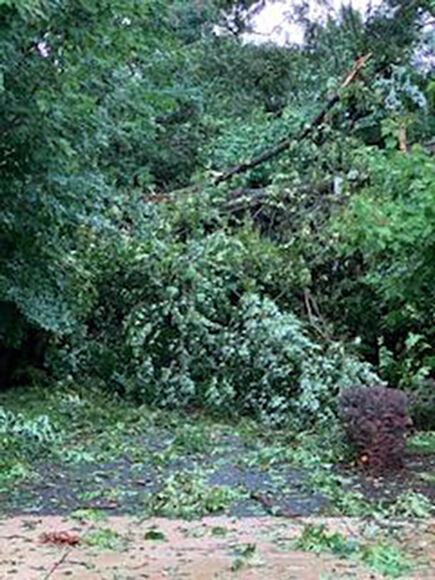
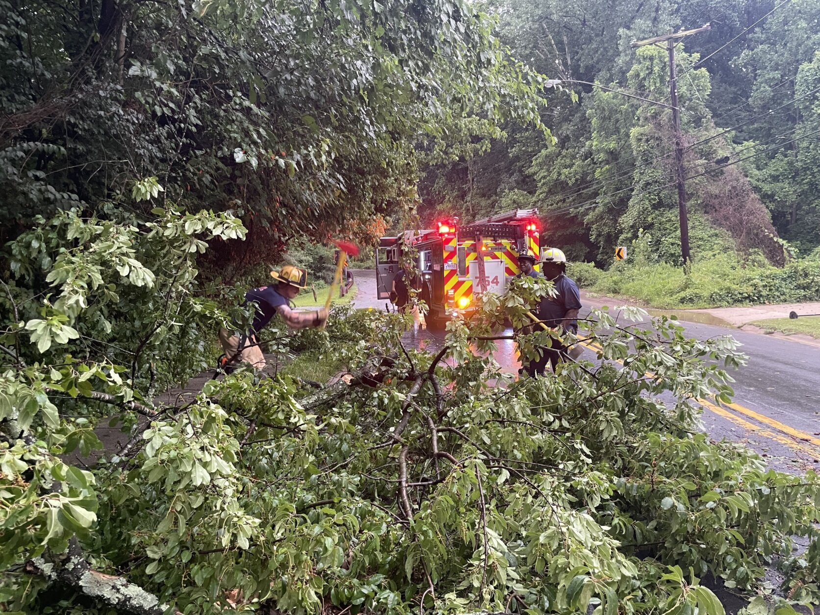
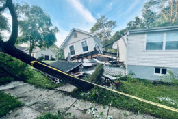
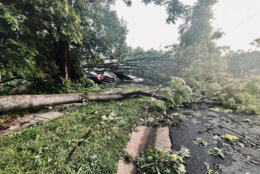
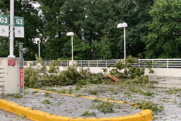
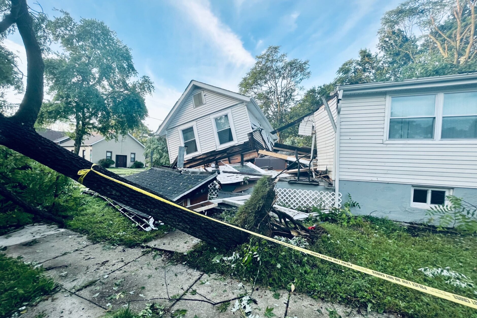
In Leesburg, Virginia, gusts clocked in at over 60 mph. Quarter-size hail was reported in Maryland’s Harford, Carroll and Frederick counties. Trees blocked roadways and snapped wires in Loudoun County, Virginia, and across the Potomac River in Montgomery County, Maryland. In College Park, Maryland, downed trees split a home in half and crushed vehicles.
Thousands were still in the dark as of 7 p.m. Wednesday: In Maryland, Pepco reported around 200 customers without power in Montgomery County, over 450 in the District and around 5,700 in Prince George’s County. BGE says over 6,000 of its customers are still without power in Prince George’s.
In Northern Virginia, Dominion Energy reports over 1,200 customers are without power. Dominion expects all their customers to have power restored by 11 p.m.
BGE expects to restore power to 90% of impacted customers by Thursday night. Hundreds of workers from other utility companies are helping BGE with the effort, it said in a statement Wednesday evening.
“Due to extensive damage from fallen trees, some equipment may not be accessible and repairs to damaged equipment may take longer than anticipated,” BGE cautioned.
WTOP has reached out to Pepco in regards to when service might be restored for impacted customers. For more information, see outage maps from Pepco, BGE and Dominion.
- Listen to WTOP online and on the radio at 103.5 FM or 107.7 FM.
- Current traffic conditions
- Weather forecast
- Beach traffic and weather
- WTOP’s Summer Beach Guide
- Sign up for WTOP alerts
Damage as storms blitz DC region
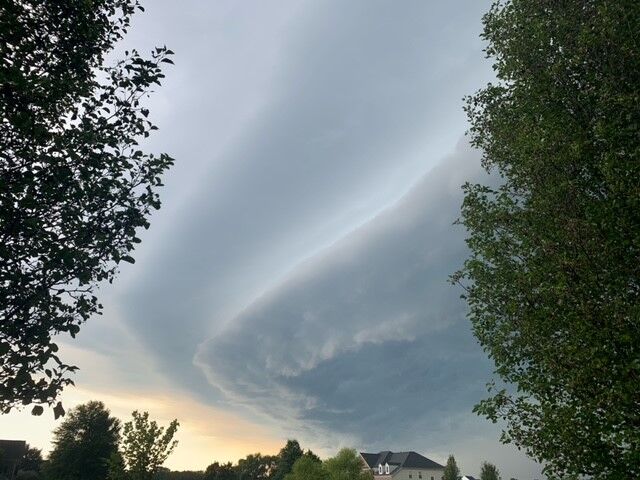
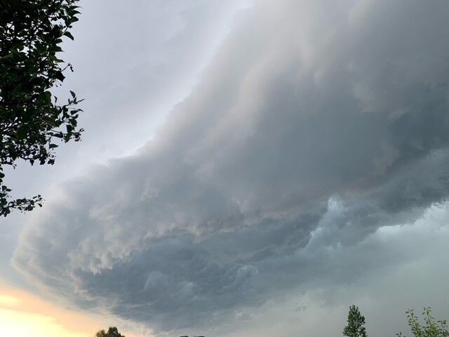
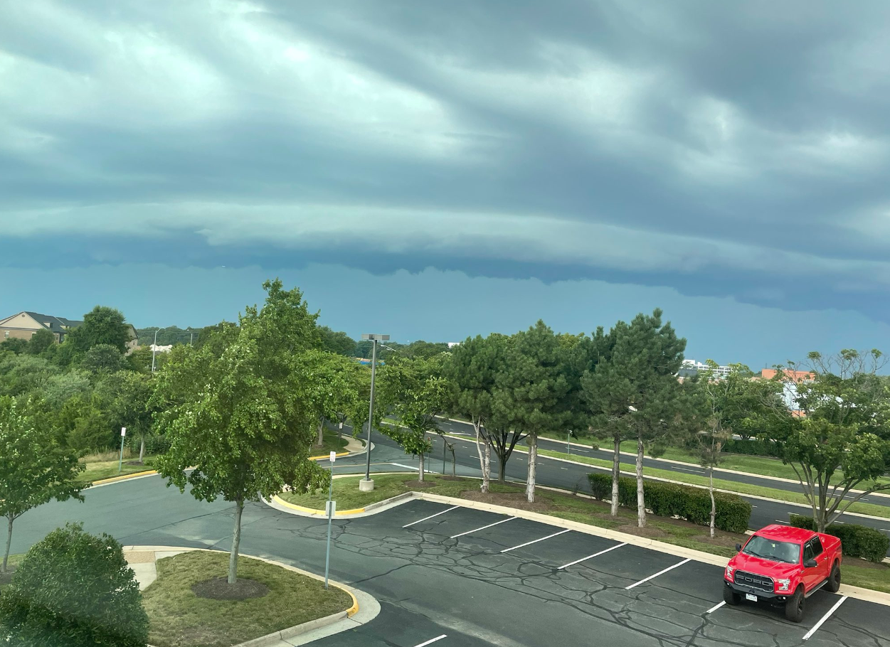
Powerful storms left a wide swath of damage from the Blue Ridge Mountains into the D.C. and Baltimore suburbs Wednesday evening, making for one of the region’s most damaging severe weather outbreaks so far this season.
The National Weather Service listed hundreds of wind and hail reports it received from across the Mid-Atlantic — forecasters had warned of hurricane-force wind gusts in one particularly intense storm as it crossed the Interstate 81 corridor into more densely-populated areas of Northern Virginia.
Power outages forced the University of Maryland’s College Park campus to suspend all operations for Wednesday, including remote learning. Spokeswoman Katie Lawson said Tuesday night that crews were working to unblock roads full of storm debris, and that power to campus was out.
Wind gusts in College Park reached 80 to 90 mph Tuesday night, according to the weather service. The most likely cause of the damage, it said, was from straight-line winds caused by a severe thunderstorm.
Such winds, the weather service said, can produce tornado-like damage, and Tuesday night’s were comparable to those from a low-end EF-1 tornado.
This video is no longer available.
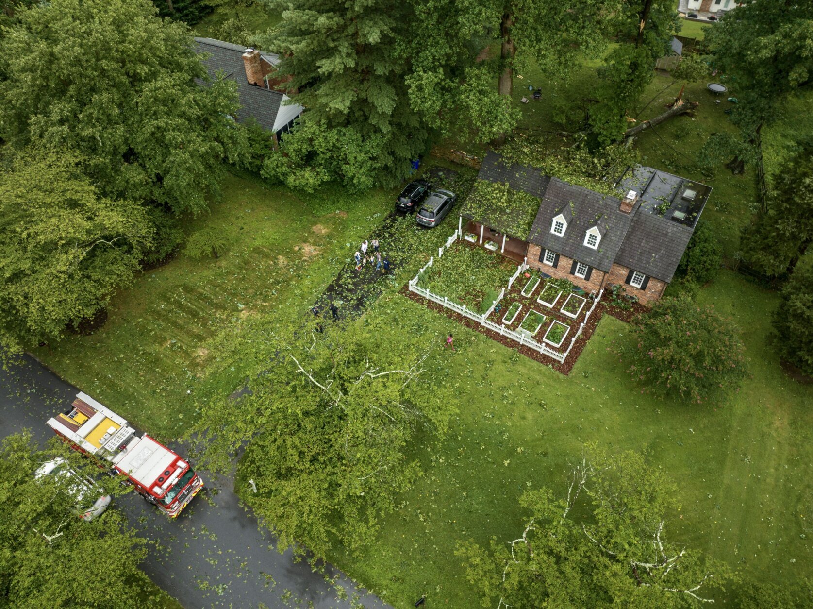
Storm damage on Queen Mary Drive in Olney, Md. (Courtesy MyDrone.Pro/Tim Pruss)
Blocks from U.Md.’s College Park campus, a fallen tree split a home in half: “The neighborhood looks like it was put through a blender. All of the streetlights and house lights are out,” WTOP’s Nick Iannelli reported from the scene Wednesday morning. “The area is pitch black. Trees on their sides. Some are uprooted.”
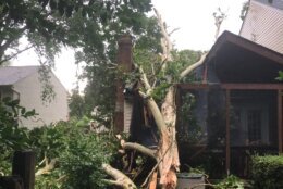
In Olney, Maryland, the Red Cross was assisting families displaced after widespread tree damage rendered dozens of homes uninhabitable. Montgomery County Fire Chief Scott Goldstein estimated 20 to 30 homes sustained damage.
“There’s a lot of damage. A number of families will be displaced because of property damage and trees on houses. We have dozens of trees on houses,” said Montgomery County Fire and Rescue spokesman Pete Piringer.
Olney resident Tim Pruss said the storm included powerful downward winds, bringing down a tree onto his neighbor’s skylight. Neighbors with whom Pruss spoke were safe.
“It came through pretty rapidly, just heavy rains. Then it looked as if there was a downburst that happened,” Pruss said.
Resident Bill Jones, who has lived on Olney’s Morningwood Drive for two decades, said a large sycamore tree in his backyard had been “stripped to the point of a telephone pole” and that other trees in his neighborhood had crushed parked cars.
In neighboring Prince George’s County, fire and EMS spokeswoman Veronica Marshall said her department received more than 330 calls for storm damage, including in College Park and Berwyn Heights; one person was hospitalized.
D.C. Fire and EMS spokesman Vito Maggiolo said most calls for help were related to power lines and downed trees.
“We’ve had a couple of instances where trees came down on top of vehicles. In one case the vehicle was occupied. However, the folks inside the vehicle were able to self extricate and they were not injured. We had one apparent lightning strike over in the Anacostia section that affected the boiler of the home, but no fire or smoke,” Maggiolo said.
Live wires set a vehicle on fire on Northwest D.C.’s Cathedral Avenue:
Still waiting for PEPCO to kill power. pic.twitter.com/ccGe7pF2xq
— Andrew Leyden (@PenguinSix) July 12, 2022
The National Weather Service says that damage in Bowie, Maryland, was caused by a microburst that had sustained winds of 80 mph.
Yard waste rules have been relaxed through July 20 for two Bowie neighborhoods – Buckingham and Somerset. They’ve been relaxed through July 27 in four other neighborhoods: Belair Greens, Chapel Forge, Meadowbrook and Whitehall.
The Federal Aviation Administration reported grounded flights at Reagan National, BWI Marshall and Dulles International airports as a result of severe weather. Hundreds of flights were canceled across all three airports on Tuesday afternoon and evening.
The Nationals will play a split doubleheader to make up for Tuesday’s game. Wednesday’s originally scheduled game will be played at 12:05 p.m. and the makeup game will be played at 6:05 p.m.
Power outages:
Current conditions:
Forecast:
Wednesday night: Mostly cloudy with a few showers south of D.C. and some fog in rural areas. Winds variable at 2-5 mph and a 20% chance of rain. Lows of 66-72 degrees.
Thursday: Mostly sunny and seasonably hot with an isolated shower possible. Winds northwest at 4-8 mph and a 20% chance of rain. Highs of 85-90 degrees.
Friday: Partly to mostly cloudy and a bit cooler with scattered showers after noon. Winds northeast at 5-10 mph and a 30% chance of rain. Highs of 82-86 degrees.
Saturday: Partly sunny with scattered showers mainly in the afternoon. Winds southeast at 5-15 mph with a 30% chance of rain. Highs of 82-86 degrees.
WTOP’s Colleen Kelleher, Dick Uliano and Abigail Constantino contributed to this story.


