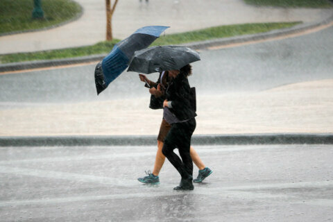
Another round of severe weather arrived in parts of the D.C. area ahead of Thursday morning just days after storms brought heavy rain and two tornadoes to the region.
Though the sun has started shining in some parts of the region, Storm Team4’s Mike Stinneford said the stalled cold front will continue the chance for severe thunderstorms across the region.
“Waves of showers and thunderstorms will move through today, tapering off by late in the day,” Stinneford said. The cold front will remain stalled through Friday night.
As the front continues to push south, showers and thunderstorms will impact the D.C. region, Storm Team4 meteorologist Chad Merrill told WTOP. Heavy rain could produce flash flooding in areas north of Route 50.
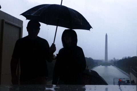
“Heavy downpours will linger through the morning commute and then as the front settles farther south, a few patches of clearing will occur early Thursday afternoon,” Merrill said. “Still, with the front lingering just south of D.C. on Thursday afternoon, there will be only isolated coverage of showers and thunderstorms during the late afternoon, fading by sunset.”
- Listen to WTOP online and on the radio at 103.5 FM or 107.7 FM.
- Current traffic conditions
- Weather forecast
- Closings and Delays
- Sign up for WTOP alerts
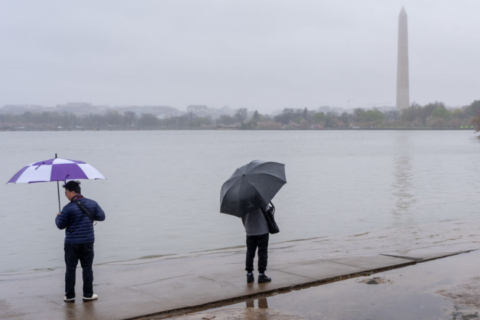
With the lingering front, Stinneford said wind damage would be the main threat in addition to the flooding. The winds impacted one area Thursday morning as Prince William County, Virginia, received a storm report of half a dozen trees blown over by the storms.
“A stronger cold front will push through on Saturday, and we will finally get a break from the rain and the humidity on Sunday,” Stinneford said.
Forecast
THURSDAY: A mix of clouds and some sunshine. Chance of a shower or a thunderstorm. Muggy. Highs in the mid to upper 80s
THURSDAY NIGHT: Mostly cloudy and muggy with a chance of a shower. Patchy fog late. Lows in the mid 60s to lower 70s.
FRIDAY: Partly sunny and muggy. A chance of a shower or afternoon thunderstorm. Highs in the mid to upper 80s.
SATURDAY: A chance of showers in the morning. Partly sunny in the afternoon, with a few lingering showers southern suburbs. Highs in the lower 80s.
SUNDAY: Mostly sunny with lower humidity. Highs in the lower 80s.
WTOP’s Ivy Lyons contributed to this report.