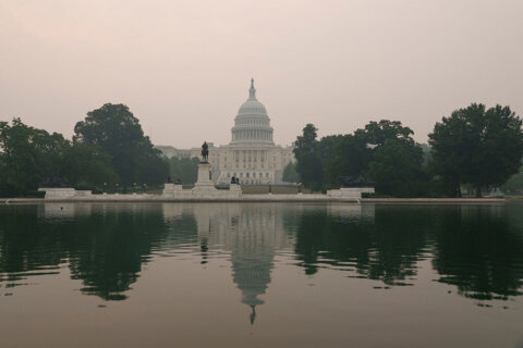
Strong to severe storms moved across the area Wednesday night, wreaking havoc on the afternoon commute, toppling trees in parts of the D.C. area and leaving thousands without power. The storms didn’t end there, though, they continued through the night. Here’s what you need to know.
The risk for severe thunderstorms has ended, the National Weather Service said, but showers and embedded thunderstorms will continue into the night before gradually diminishing. However, localized flooding remains possible due to moderate heavy rain.
Key Updates:
- A flood warning issued for D.C. is in effect until 4:30 a.m. Thursday
- A flood warning issued for Fairfax County, Virginia, is in effect until 7:30 a.m. Thursday
Earlier Thursday, damaging winds of up to 80 mph battered the region, as well as large hail. The National Weather Service reported downed trees in Stafford, Prince William, Fauquier, Loudoun and Spotyslvania counties in Virginia.
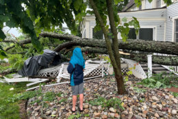
Fallen trees, debris and electric wires blocked area roadways, causing delays during the evening commute in Virginia. These storms knocked out power for nearly 50,000 homes and businesses in Northern Virginia.
The widespread storm damage and power outages caused Fauquier County School officials to cancel Thursday’s summer school classes and other school activities.
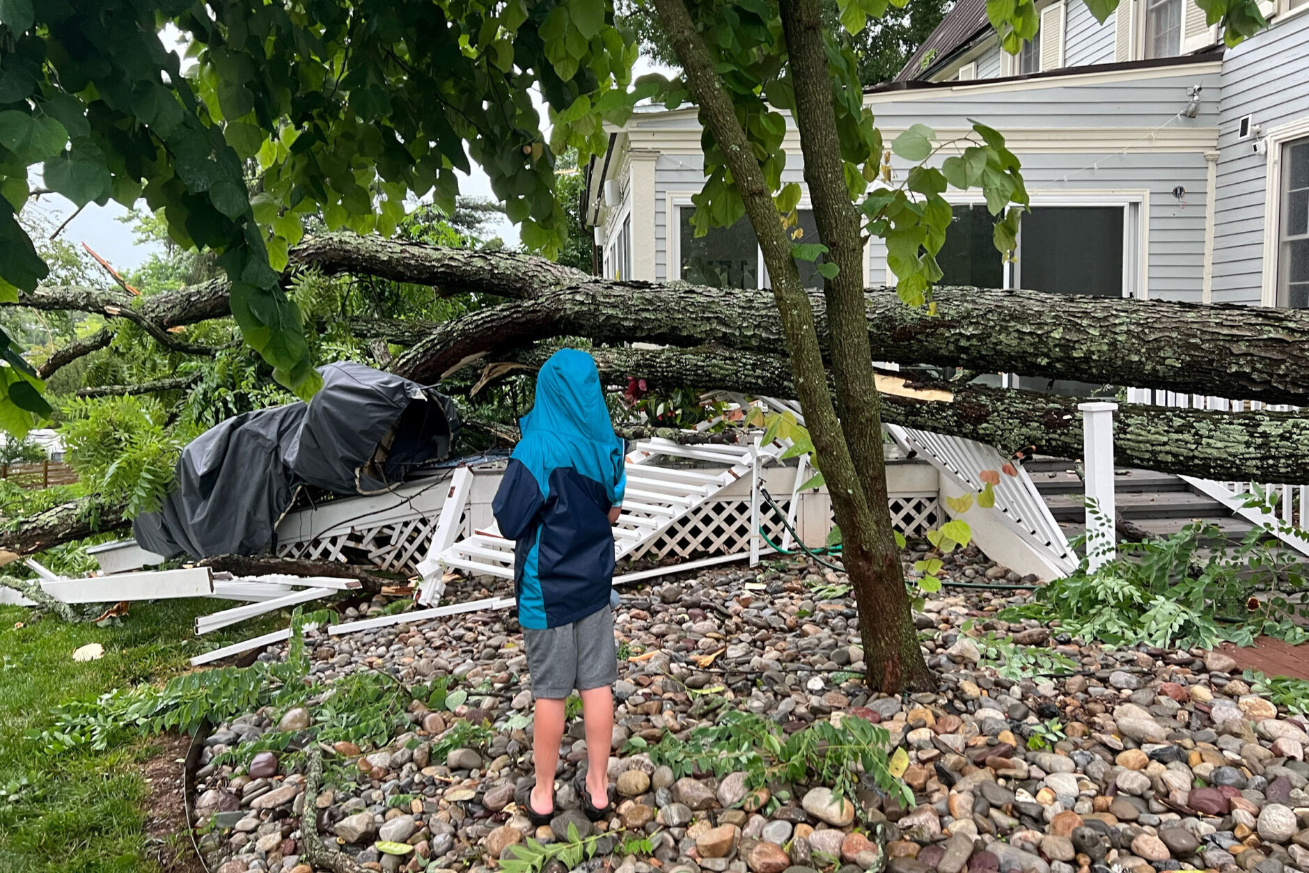
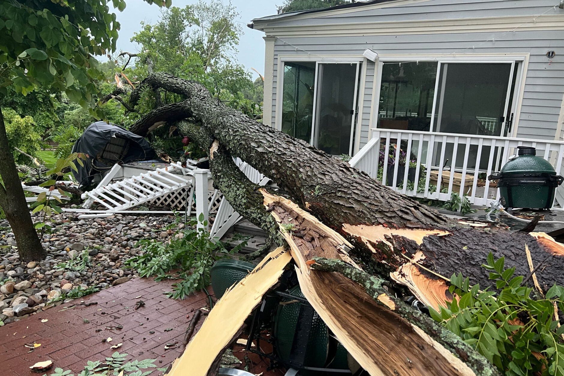
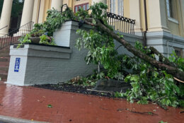
The hardest hit in the area, so far, has been the Town of Warrenton in Fauquier County, Virginia, where hundreds of fallen trees and branches fell on houses, causing structural damage and blocking roadways along Interstate 66.
Warrenton Town Manager Brandie Schaeffer told WTOP that Wednesday’s quick-passing storm blew right through the town, leaving behind spotty power outages.
Trees and power lines were across many of the major streets leading in and out of downtown. No injuries were reported.
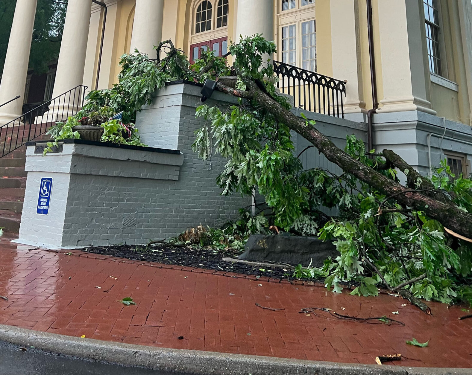


Crews are expected to work through the night Wednesday to clear debris and restore power, Schaeffer said. Numerous trees were also reported blocking US-15/US-29 Lee Highway between Warrenton and New Baltimore.
Despite all the damage caused, the National Weather Service told WTOP that it does not plan on sending crews to assess damage in Warrenton and Fauquier counties.
Significant storm damage in Fauquier County. Callers estimate more than 50 trees and large branches down along I-66. #dcwx #vawx #vatraffic pic.twitter.com/8t8KbNv7Vu
— Dave Dildine (@DildineWTOP) June 22, 2022
In Stafford County, Virginia, Twitter user Jason Nealis shared some of the damage left behind after Wednesday afternoon’s quick passing storms.
@WTOP maybe microburst here in @staffordvagov neighborhood augustine. pic.twitter.com/XWcif11Uft
— Jason Nealis (@jnealis) June 22, 2022
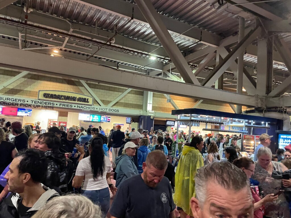
The storms also disappointed rock fans, who were asked to take cover inside the concourse in Nationals Park as thunderstorms arrived. The Stadium Tour concert — featuring Motley Crue and Def Leppard — was paused due to the severe weather in the area, stadium officials said in a tweet. The concert restarted after a more than 90-minute delay.
Earlier on Wednesday, Storm Team4’s Mike Stinneford cautioned that thunderstorms from Pennsylvania could become supercells as they moved into Maryland — bringing high winds and hail and increasing the risk of tornadoes.
The Shenandoah Valley might deal with a second wave of thunderstorms into the overnight hours. The main threat from these will be a soaking rainfall and a risk for flooding, especially if the ground is saturated after earlier weather, Stinneford said.
- Listen to WTOP online and on the radio at 103.5 FM or 107.7 FM.
- Current traffic conditions
- Weather forecast
- Beach traffic and weather
- WTOP’s Summer Beach Guide
- Sign up for WTOP alerts
Overnight lows turn cooler, as the front moves through. Another round of showers will limit sunshine on Thursday and keep temperatures in the lower 70s.
“Most of Thursday’s rain chance is in the morning, and the rain could add up to several inches in a few places, so flash flooding will remain a concern,” Storm Team4’s Chuck Bell said.
WTOP’s Abigail Constantino, Dick Uliano, Juan Herrera and Kristi King contributed to this report.
Forecast:
THURSDAY: Showers ending by noon. Some afternoon sunshine. Highs in the low to mid 70s.
FRIDAY: Sunny. Highs in the low to mid 80s.
SATURDAY: Mostly sunny and more humid. Highs in the mid 80s to low 90s.
SUNDAY: Warm and muggy. Chance of a thunderstorm after sunset. Highs around 90.