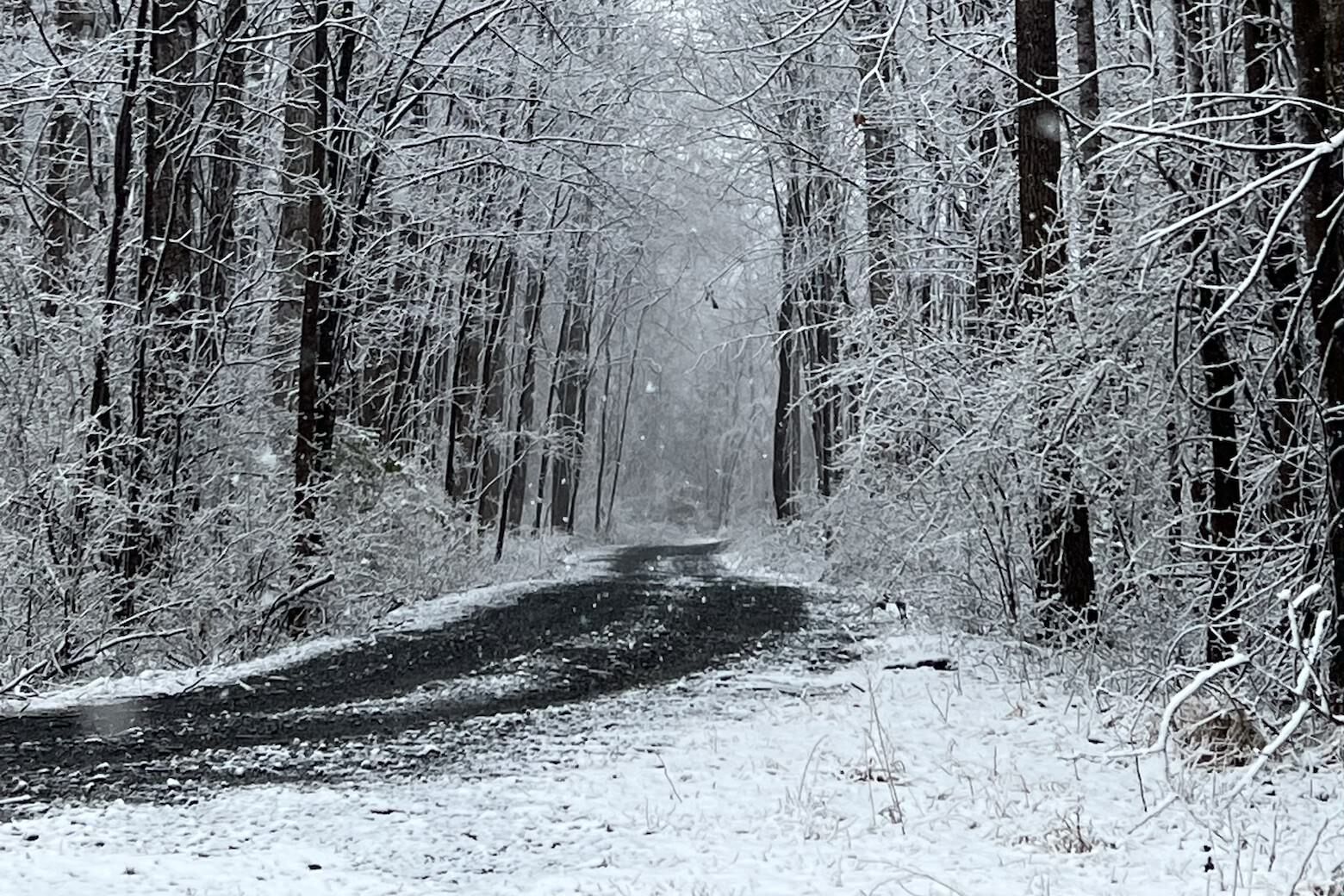
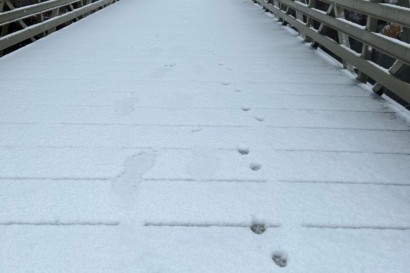
After a storm system and a blast of arctic air dumped up to a half-foot of snow in areas around the District throughout the day Saturday, high winds and freezing temperatures made for hazardous conditions overnight.
Saturday’s winter storm pulled out as winds continued to pick up, gusting to around 50 mph. Snow picked up by the wind created patches of low visibility and created the potential for power outages.
By mid-afternoon Saturday, power outages in Maryland included 4,365 in Baltimore County, 3,317 in Anne Arundel and 1,912 in Montgomery County.
In Virginia, Pittsylvania County and Sussex County reported 2,804 and 580 power outages, respectively. Washington D.C., had also reported 413 customers without power.
A Wind Advisory is expected to end at 1 a.m. Sunday morning for the entire WTOP listening area. With temperatures in the 20s, drivers are advised to watch out for icy spots on the road and keep a safe distance from other vehicles.
- Listen to WTOP online and on the radio at 103.5 FM or 107.7 FM.
- Closings and delays
- Current traffic conditions
- Weather forecast
- Sign up for WTOP alerts
Meanwhile homeowners across the metro area were asked to secure outdoor objects and prepare for outages.
“Everything on the road, all of that slush is going to freeze overnight. A lot more snow and sleet to come,” Storm Team4 meteorologist Mike Stinneford said.
Outside our immediate area, Garrett and Western Allegheny counties in Maryland, Highland County in Virginia and elevations above 2,500 feet are expected to see the highest winds.
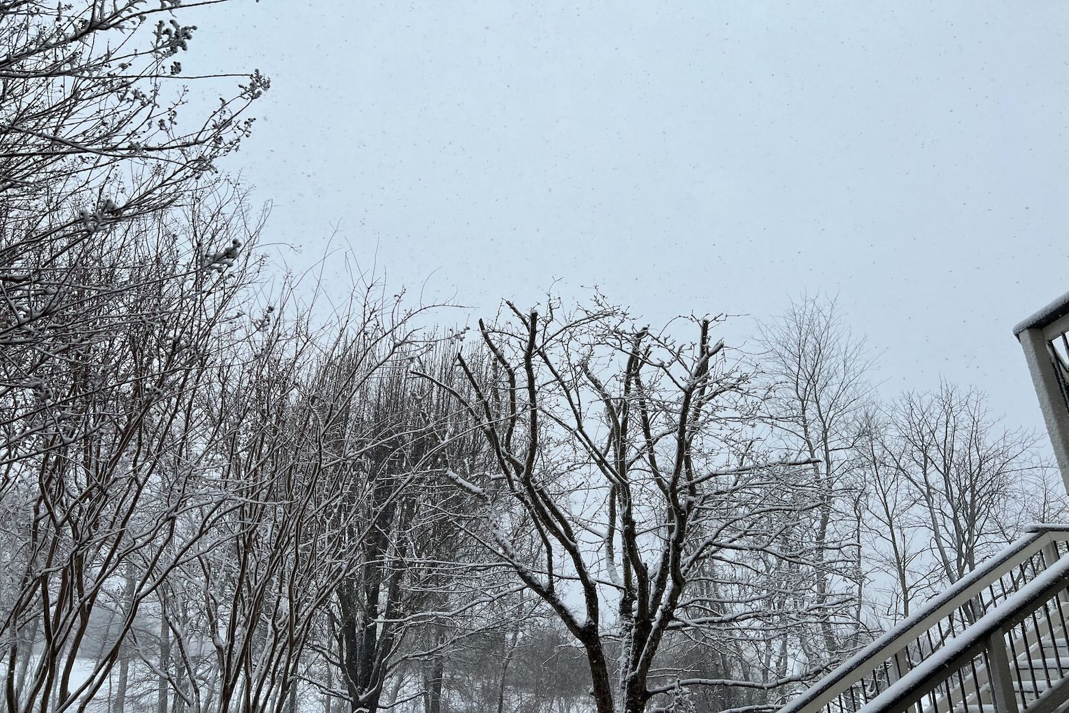
Later Saturday night, drier air is expected to return and temperatures, with the wind chill factor, are expected to plummet into the single digits. As the night moves on, the wind will likely abate to between 15 and 30 mph.
By Sunday, the winds will calm further, but the core of the arctic air mass will settle over the Mid-Atlantic, leading to a mostly sunny and cold day with highs in the lower 40s.
Be careful out there.
Forecast:
Saturday: Blustery, with snow diminishing to snow showers and flurries. Slippery roads will persist. Temperatures in the 20s, with winds gusting up to 50 mph.
Saturday night: Clearing. Gusty and cold, with icy spots on the road. Lows in the teens to around 20.
Sunday: Mostly sunny, breezy and cold. Highs in the upper 30s to near 40.
Monday: Partly cloudy and milder. Highs in the upper 50s.
Tuesday: Partly cloudy and warmer. Highs in the mid 60s.