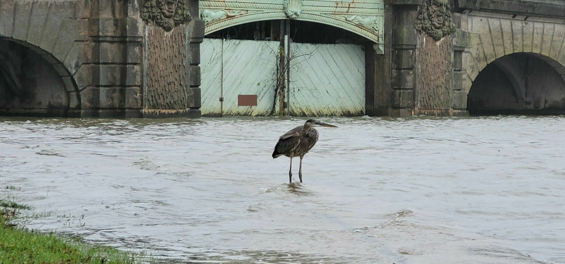

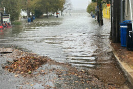
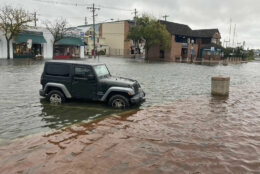





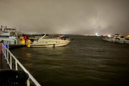
Maryland Gov. Larry Hogan has declared a state of emergency for areas along the shores of the Chesapeake Bay, the Potomac River and the Atlantic coast that are under a coastal flood warning.
The National Weather Service is warning of widespread flooding at high tide along the Chesapeake Bay and the tidal Potomac — and the risk of tidal flooding lasts through the weekend along coastal areas. The areas include Anne Arundel, Calvert, Charles and Prince George’s counties.
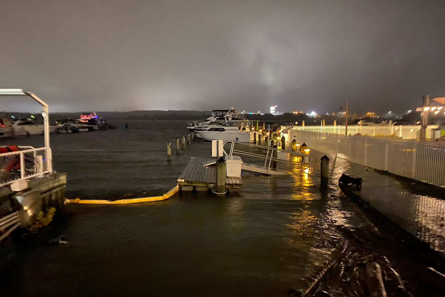
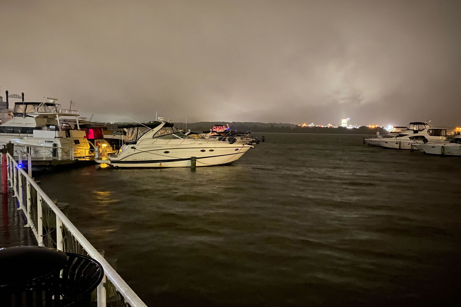
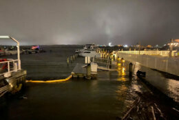
The highest tides in 10 to 20 years are expected, with threats including the inundation of water on roads, sidewalks, docks, marinas, and residential and commercial areas, a news release from Hogan’s office said.
“Even if you are accustomed to nuisance flooding, this is much more serious and has the potential to be much more damaging over the course of the next 24 hours,” Hogan said.
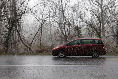
Storms with gusty winds and heavy rain are downing trees and power lines and bringing heavy coastal flooding not seen in years — with the worst of the weather expected to last through Friday evening.
The storms could bring area’s worst tidal flooding since Hurricane Isabel in 2003, the National Weather Service warned.
Watches and Warnings
- In Maryland, southeastern Howard and west central Anne Arundel counties are under a flood warning until 1:30 a.m. Saturday.
- A coastal flood warning for the Chesapeake Bay and the tidal Potomac remains in effect through the weekend for some areas.
“So, a lot going on, and a lot of nasty weather,” Storm Team4 meteorologist Mike Stinneford told WTOP.
D.C. and Maryland saw the steadiest bands of rain around 3 p.m. Friday.
An almost-stationary heavy band of rain stretched from Carroll County in Maryland through Montgomery County and the eastern half of the Beltway into D.C. down to Southern Maryland.
On the roads, in the schools
The wet weather has also wreaked havoc on area roadways, causing “spin outs, slide-offs, rollovers all day long,” WTOP Traffic Reporter Dave Dildine said.
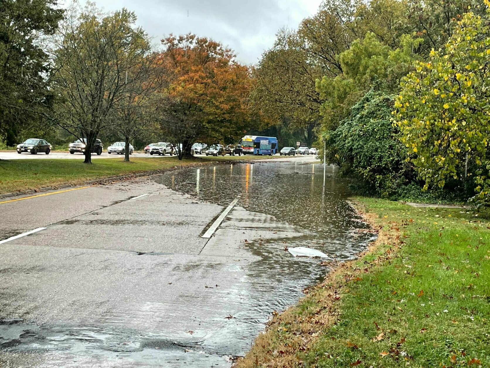
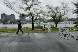
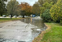
The George Washington Parkway was closed near Dyke Marsh and Tulane Drive near Belle Haven Park because of major flooding in an area that does not flood very often, Dildine said. But by 5:30 p.m. Friday, the water has receded and the road reopened.
The heavy rain Friday was accompanied by strong winds, downing some power lines. The heavy rain on already-saturated ground also uprooted trees.
From 5 a.m. to 9 p.m., Maryland State Police responded to 204 crashes, 24 roadside hazards and 38 disabled or unattended vehicles. There have been 670 calls for service.
The stormy weather led to some changes for school systems, too. Prince George’s County Public Schools said Friday it would close schools one hour early due to the weather, and all evening activities would be canceled.
Calvert County Public Schools, Anne Arundel County Public Schools and Baltimore County Public Schools elected to close school for students Friday due to the pending weather heading to the region.
‘Extreme’ coastal flooding possible through the weekend
This video is no longer available.
The Maryland National Guard has staged about 20 soldiers and 10 vehicles at the Easton and Salisbury armories in case they are needed for flood relief, Hogan announced Friday.
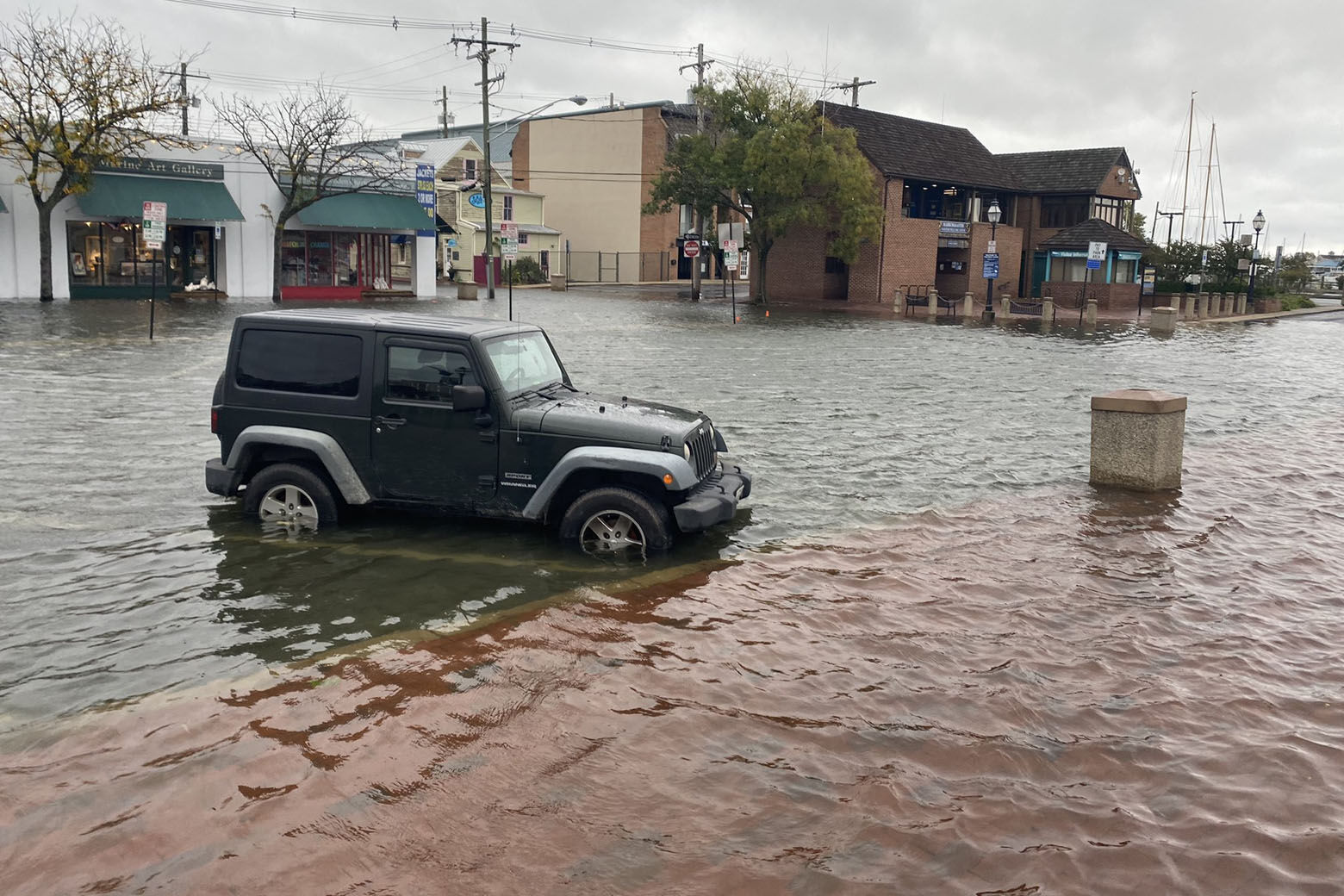
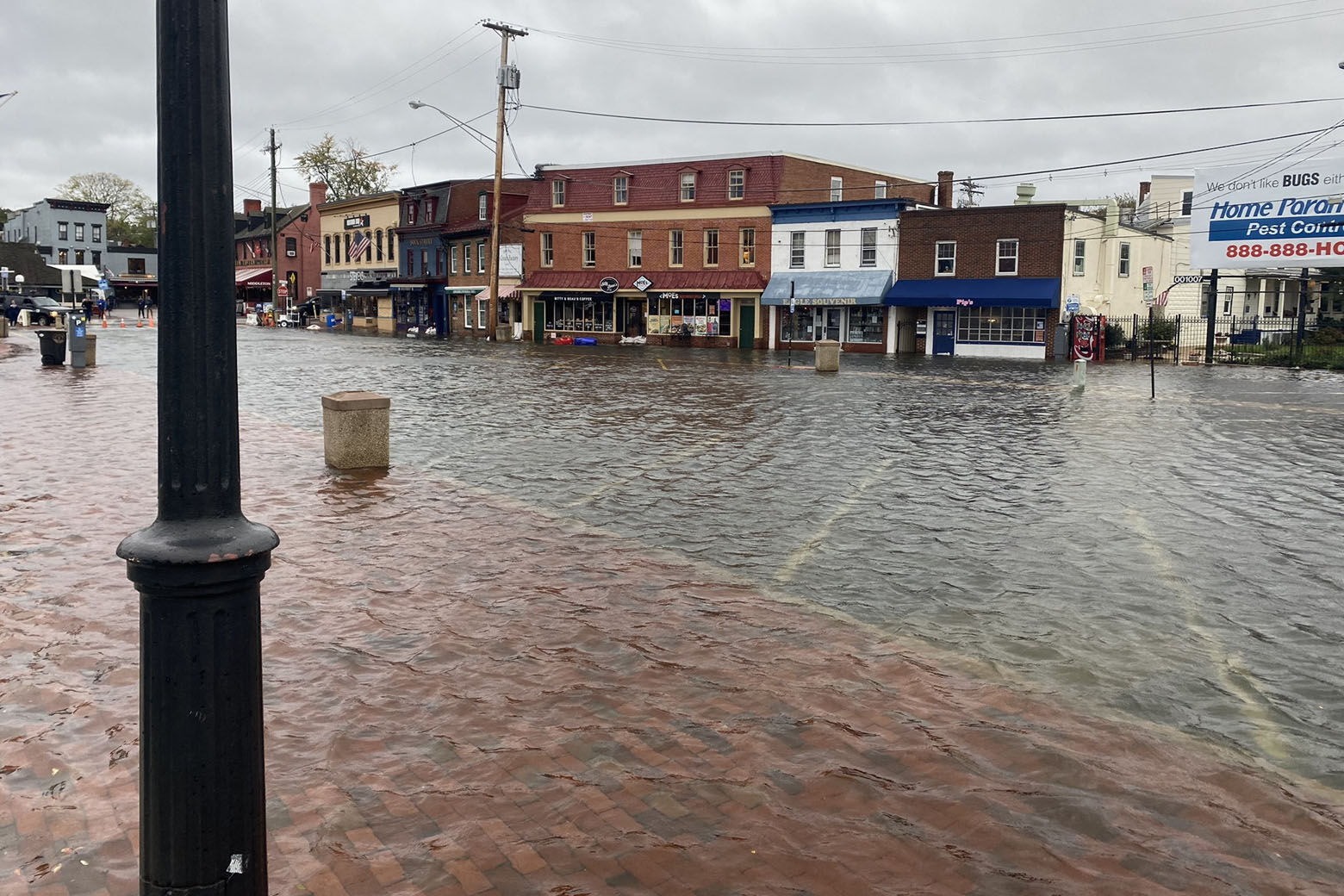
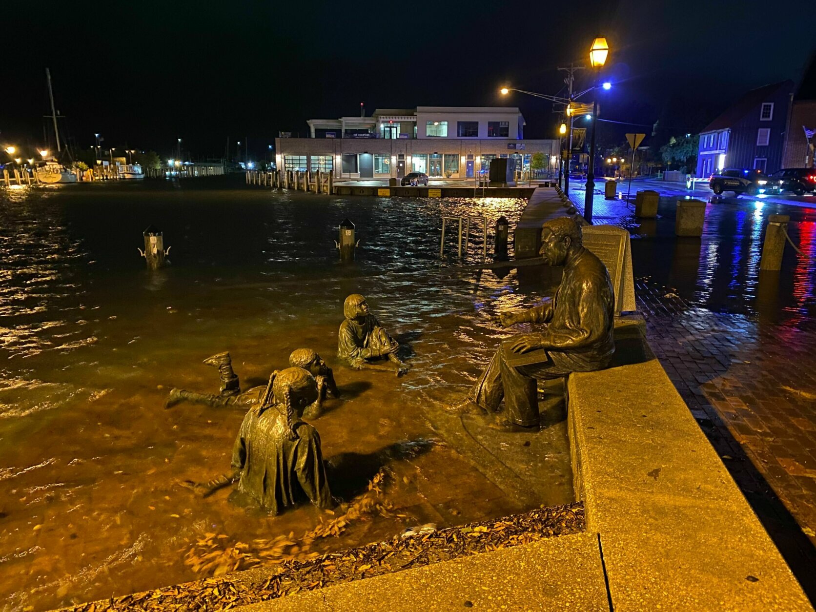
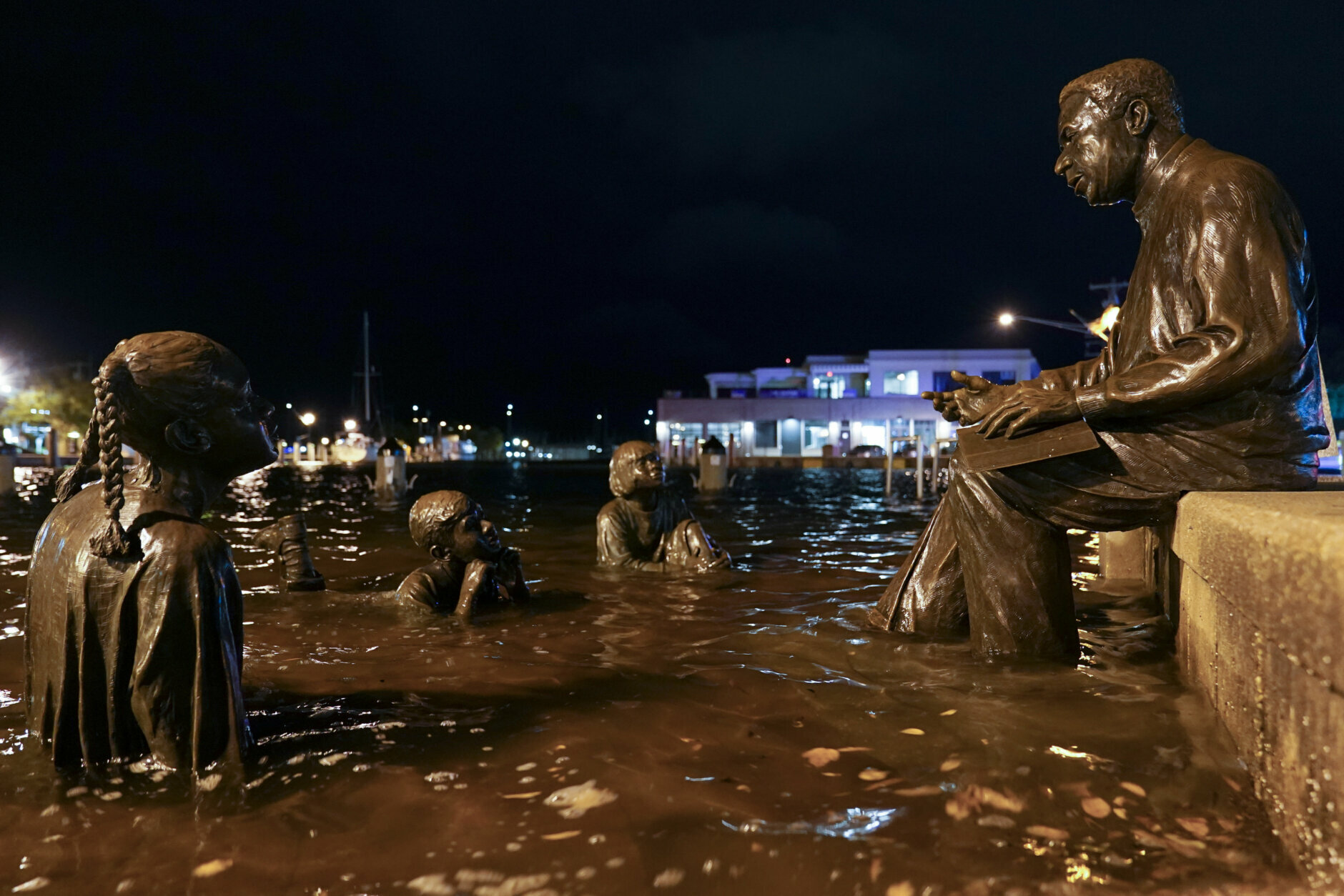
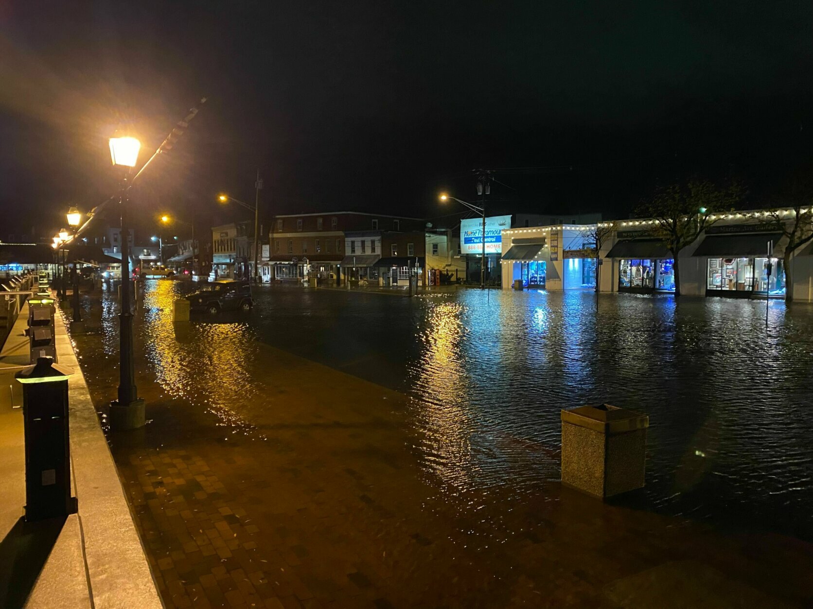
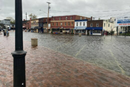
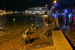
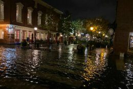
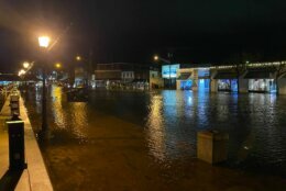
Annapolis Mayor Gavin Buckley said late Friday morning the city is experiencing some “extreme conditions” and said the floodwaters that had mostly submerged streets around the city dock were “probably the highest tides we’ve seen in decades.”
He said the rising water is “causing damage throughout the city.”
Here at the city dock in #Annapolis jellyfish are washing up from the coastal flooding. Most of the city dock parking lot and many surrounding streets are submerged. @WTOP pic.twitter.com/uRsyqjUNlv
— lukelukertwtop (@lukelukertwtop) October 29, 2021
Overall, Annapolis has 17 miles of coastline. The Eastport area of Annapolis was also seeing large waves with the tidal flooding.
Most of the businesses were closed around the city dock, with sandbags protecting their storefronts. Buckley said the city mobilized early with sandbags — but have now run out of sand.
“Let our public safety team do what they need to do during a crisis,” he said. “This is Mother Nature.”
High tide hit around noon in Annapolis.
Mark Ham remembers the last time he saw downtown Annapolis flooded. This time it’s worse. He and wife, Lisa feel for the businesses. “We’ll have a drink for the merchants,” he said.
Jen Calhoun and Jill Bradley ventured out, too, and were glad to see many of the restaurants and bars still open.
Diana Milgar will have to wait to see that kind of business next week. The storm canceled her restaurant’s grand opening. “I’m sad. It’s the weather… I can’t change” it, she said.
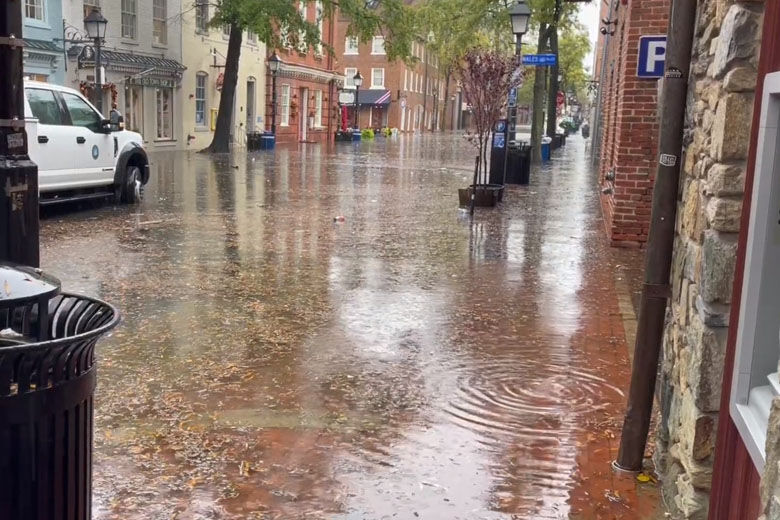
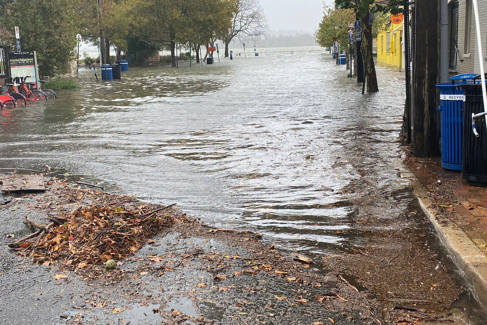
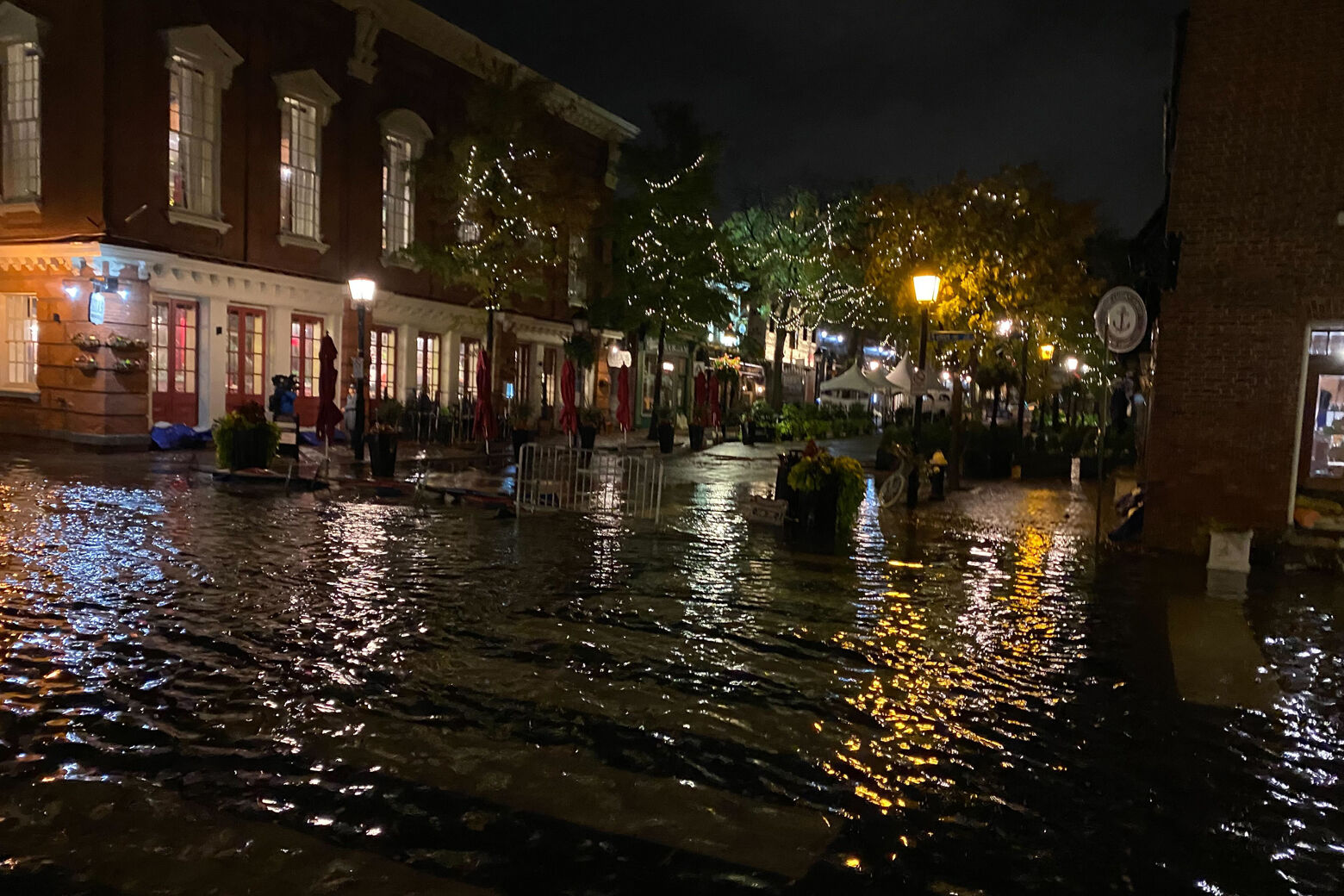
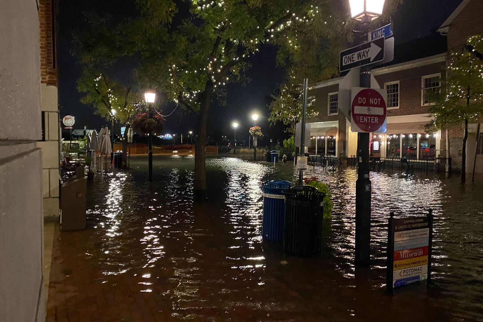
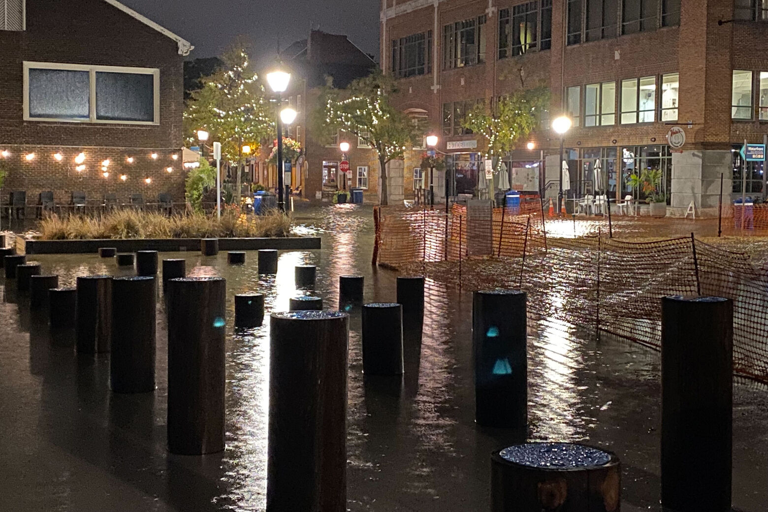
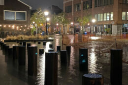
There were similar scenes in Old Town Alexandria in Virginia, at high tides both in the early morning and shortly after 3:30 p.m.
Already high standing water had closed several streets in Old Town, including Union Street between Queen Street and Prince Street, Alexandria Police said.
TRAFFIC ALERT: Several streets in Old Town are closed due to flooding. Union Street is closed between Queen St & Prince St. AVOID THE AREA! pic.twitter.com/FaoC9cuT99
— Alexandria Police (@AlexandriaVAPD) October 29, 2021
WTOP’s Kyle Cooper reported knee-deep water along Union Street near King Street.
“We’ve got water about up to people’s knees,” Cooper said. “Some folks, it looks like, were maybe kind of caught off-guard by this. Some folks I’m seeing leaving their businesses and they’re just basically ditching their socks and shoes and rolling up their pants and walking out. I’m not sure if they weren’t expecting it, but boy it’s pretty bad down here.”
The streets around Old Town also flooded at high tide early Friday morning.
It’s barely raining here in #Alexandria and already intersections are submerged, especially King St.
Can’t tell you how many rats I saw fleeing when I walked around the waterfront. @WTOP pic.twitter.com/flqi44Mcka— lukelukertwtop (@lukelukertwtop) October 29, 2021
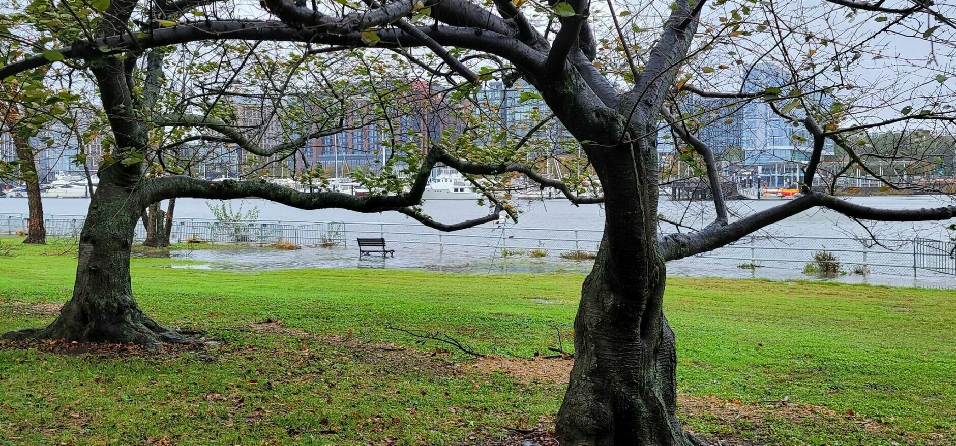
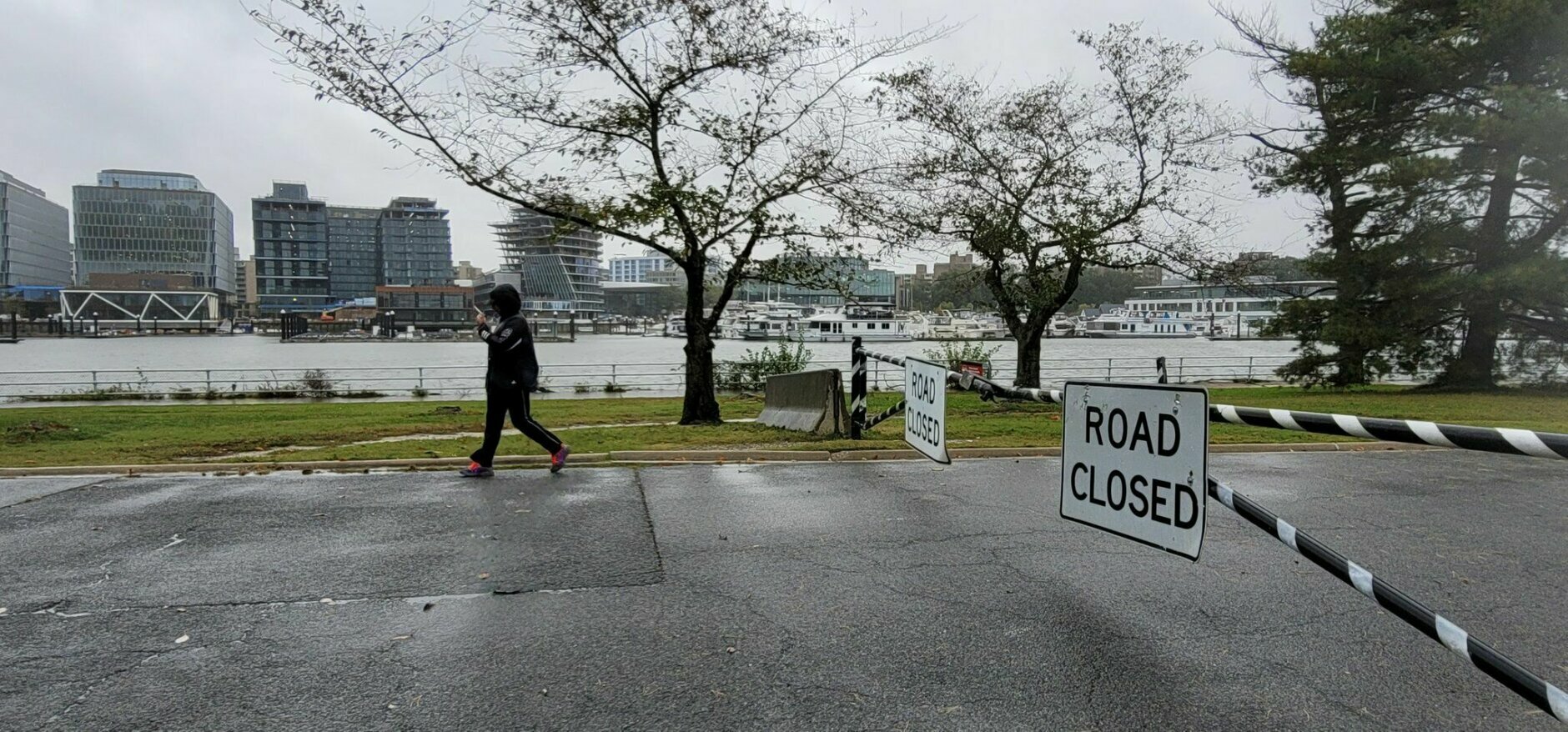
In D.C., where high tide arrived at 3 p.m., parts of The Wharf in Southwest were largely underwater, including the historic Fish Market.
But that did not stop customers from coming in to get their orders.
Ladawn Byaum said she’s been coming to the Wharf for years and she’s never seen this kind of flooding.
But Jerome Murray knew what to expect. “If you’re a Washingtonian and you’ve lived here all your life, you’re used to this,” he said. Murray placed his order in advance because he already knew what was going on down at the Wharf.
This video is no longer available.
Director of Homeland Security Christopher Rodriguez said, “We’re particularly focused on our low-lying areas that do traditionally flood, such as the Southwest waterfront, Georgetown Harbor, parts of the Navy Yard — and again, what we’re doing is making sure that our businesses and our residents know what to do,” he said.
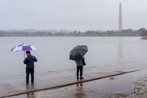
The Tidal Basin was flooded as of 9:30 a.m., WTOP’s Hillary Howard reports.
Tidal basin already flooding. Will undoubtedly get worse. Rain is heavier. @WTOP @MikeStinneford @laurynricketts @STATter911 @PoPville @NationalMallNPS pic.twitter.com/biT22KAoVG
— Hillary Howard (@hhowardWTOP) October 29, 2021
Kyle Pallozzi, a meteorologist with the National Weather Service in Sterling, Virginia, said, “This is going to be one of the bigger events that we’ve had in the past 10 to 20 years in our area. Really it’s probably going to be the highest water levels for many locations since Isabel, we’re not expecting it to reach that level, it should be lesser than that, but it’s still is a significant event.”
Scenes from @TheWharfDC as storm starts revving. Will look a lot different at high tide around 3. @WTOP @MikeStinneford @laurynricketts @STATter911 @PoPville pic.twitter.com/IW0kMhVVjT
— Hillary Howard (@hhowardWTOP) October 29, 2021
Outages
- Listen to WTOP online and on the radio at 103.5 FM or 107.7 FM.
- Current traffic conditions
- Weather forecast
- Closings and Delays
- Sign up for WTOP alerts
Forecast:
- Friday Night: Cloudy and breezy with steady rain early in the evening. Lows in the 50s.
- Saturday: Mostly cloudy. Breezy and cooler. A few scattered showers or drizzle. Highs in the upper 50s to mid-60s.
- Sunday: Mostly cloudy early then gradual clearing late in the day. Sunny but breezy afternoon. Highs in the low to mid-60s.
- Monday: Sunny and seasonable. Steady breeze. Highs in the low to mid-60s.
Current conditions:
WTOP’s Abigail Constantino, Gigi Barnett, Kyle Cooper, Valerie Bonk, Colleen Kelleher, Luke Lukert, Neal Augenstein, Jose Umana and Anna Gawel contributed to this story.


