The D.C. area saw some record-breaking above-average temperatures, and although it will be breezy Friday night, all wind advisories and warnings have been canceled. Here’s what the weekend will hold.
High temperatures today were about 20-25 degrees above normal for this time of year, and at Dulles International Airport the previous high of 78 set in 2004 was toppled by 81 degrees Friday. Reagan National Airport saw a high of 83 degrees (record high of 87 set in 1921), and BWI Marshall Airport was one degree short of matching the record-high of 84 set in 1921.
Friday’s weather forecast was nothing short of rambunctious.
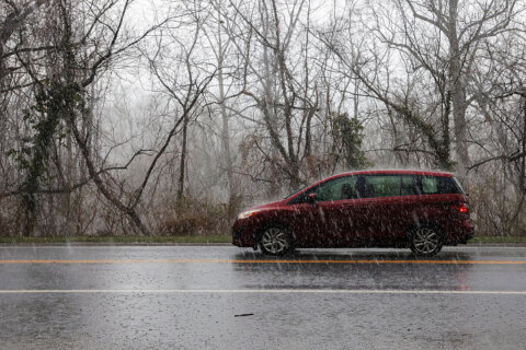
The day began with light showers in the morning that ended by 9 a.m., followed by a wind advisory that was scheduled until 8 p.m. but expired early. Storm Team4 meteorologist Matt Ritter said it would be windy enough for loose objects to blow around the neighborhood and also some minor tree damage.
- Listen to WTOP online and on the radio at 103.5 FM or 107.7 FM.
- Current traffic conditions
- Weather forecast
- Sign up for WTOP alerts
Expect a cold front to move into the area overnight before a “gorgeous” Saturday, Storm Team4 Meteorologist Lauryn Ricketts said. There will be light winds and temperatures in the lower 70s.
Clouds will increase Saturday afternoon, but the day will remain dry through the evening with temperatures falling into the mid 50s overnight.
On Sunday, a warm front will pass through in the morning with clouds accompanied by rain and drizzle. Temperatures will be slightly warmer — in the low to mid 70 — before cooling down and drying out for Monday.
Forecast:
Friday evening: Mostly clear with diminishing winds and cooler. Temperatures will be in the upper 40s to mid 50s.
Saturday: Mostly sunny. Warm and pleasant. Increasing clouds late. Highs in the upper 60s to low 70s.
Sunday: Cloudy, but a bit warmer. Light rain and drizzle. Highs: low to mid 70s.
Monday: Mostly sunny, breezy, cooler, and more seasonal. Highs in the upper 50s to low 60s.
WTOP’s Abigail Constantino contributed to this report.


