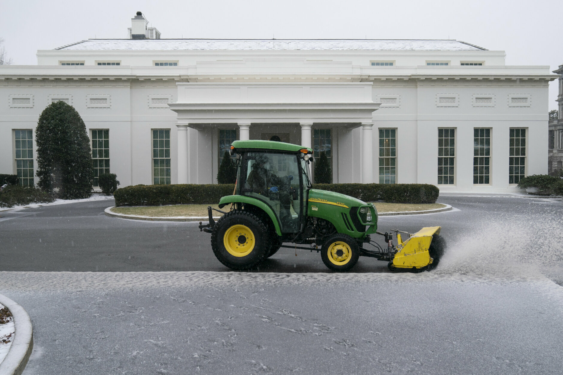
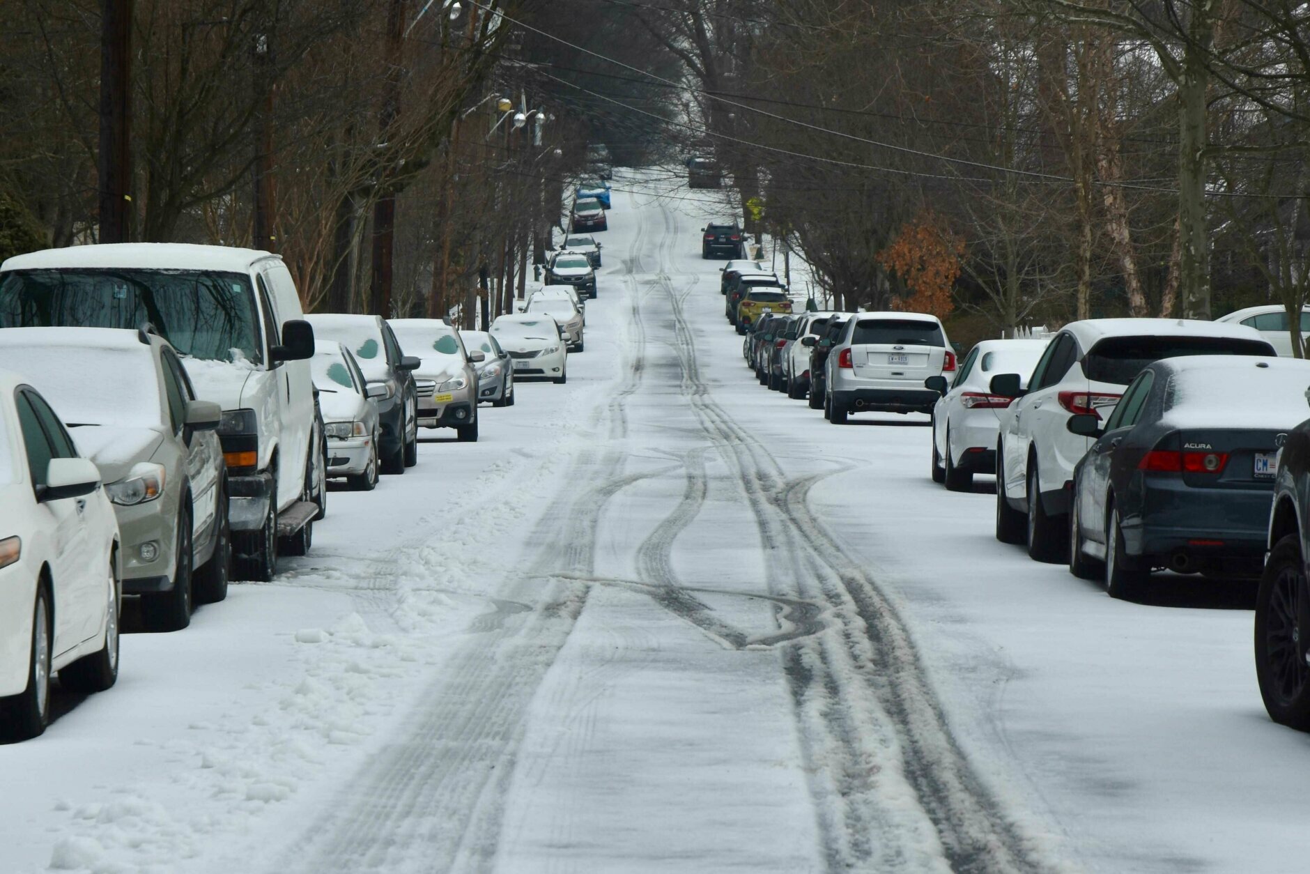
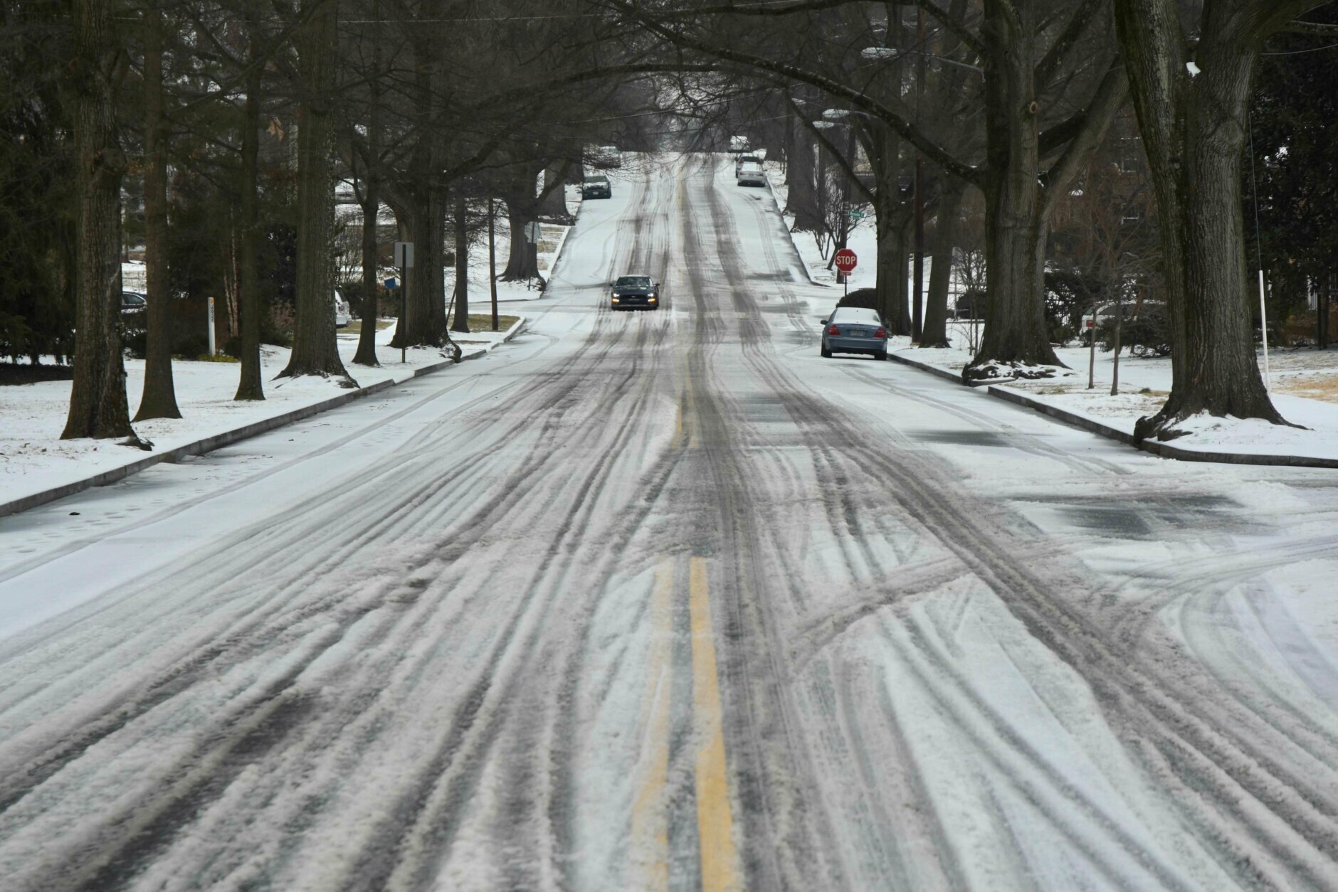
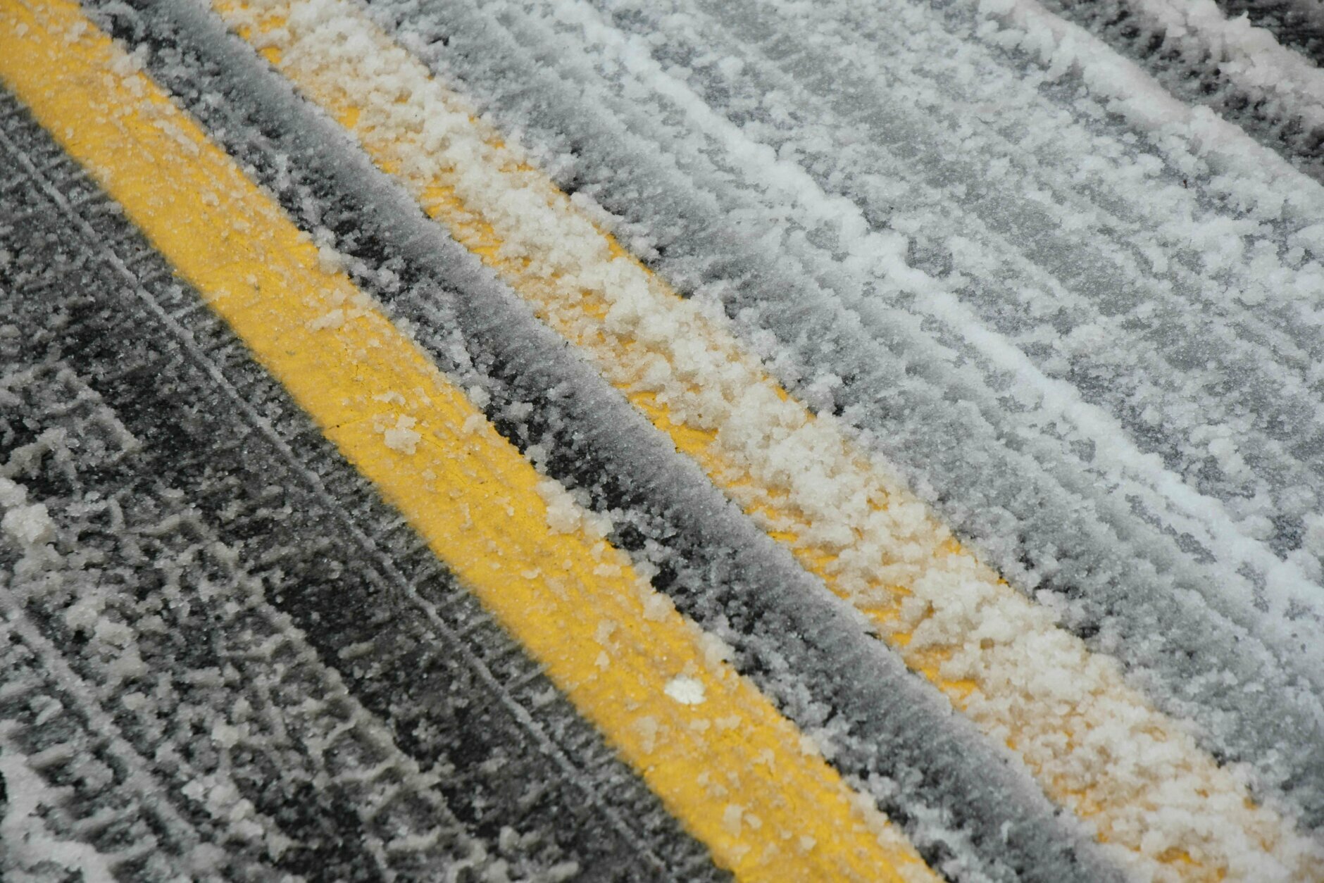
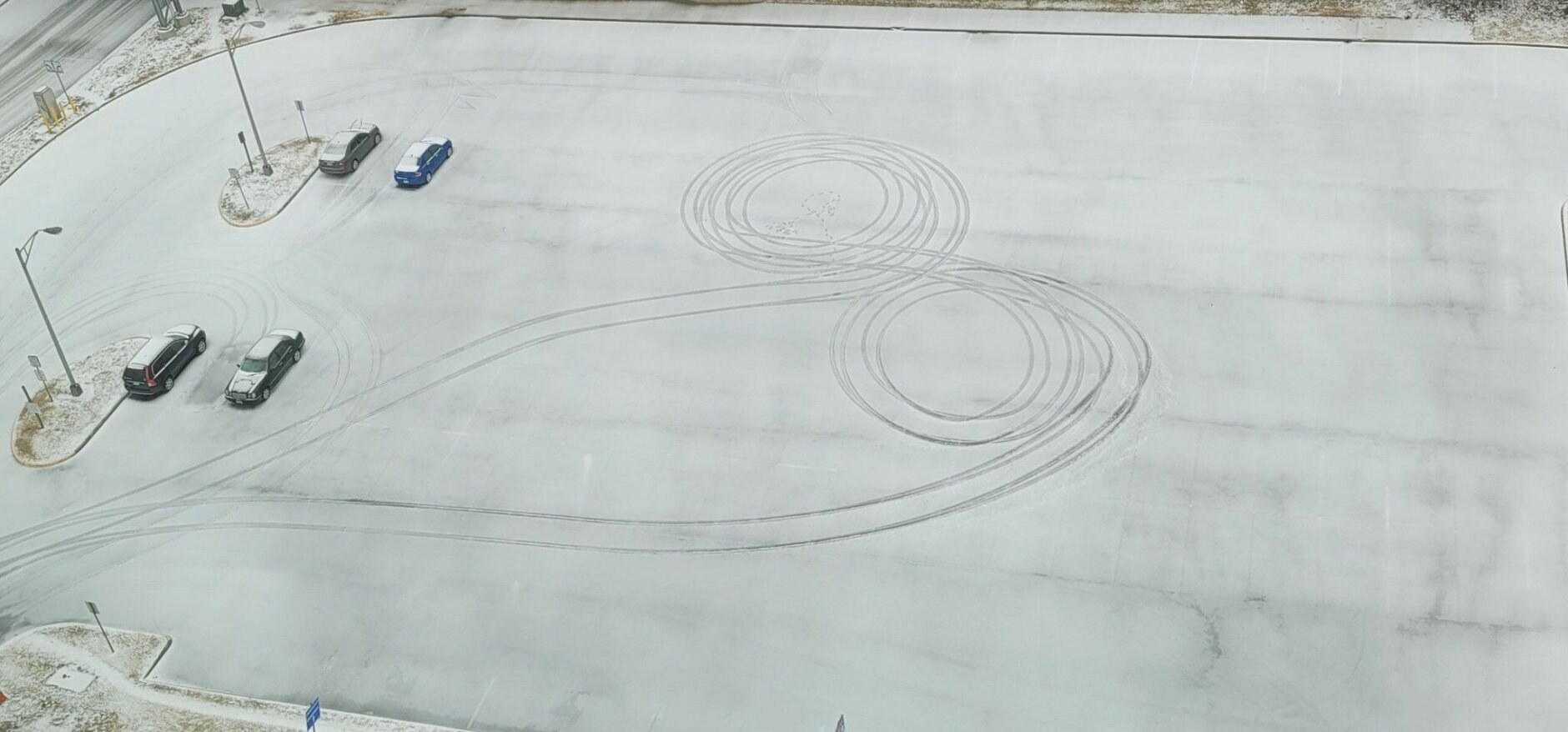
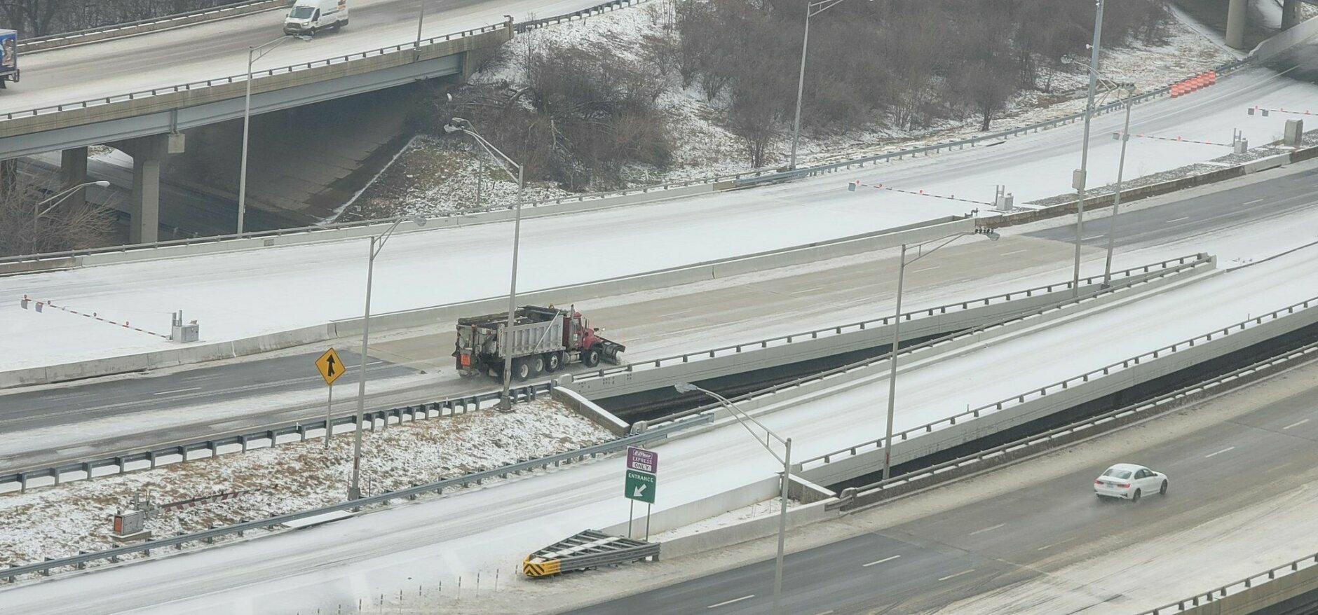
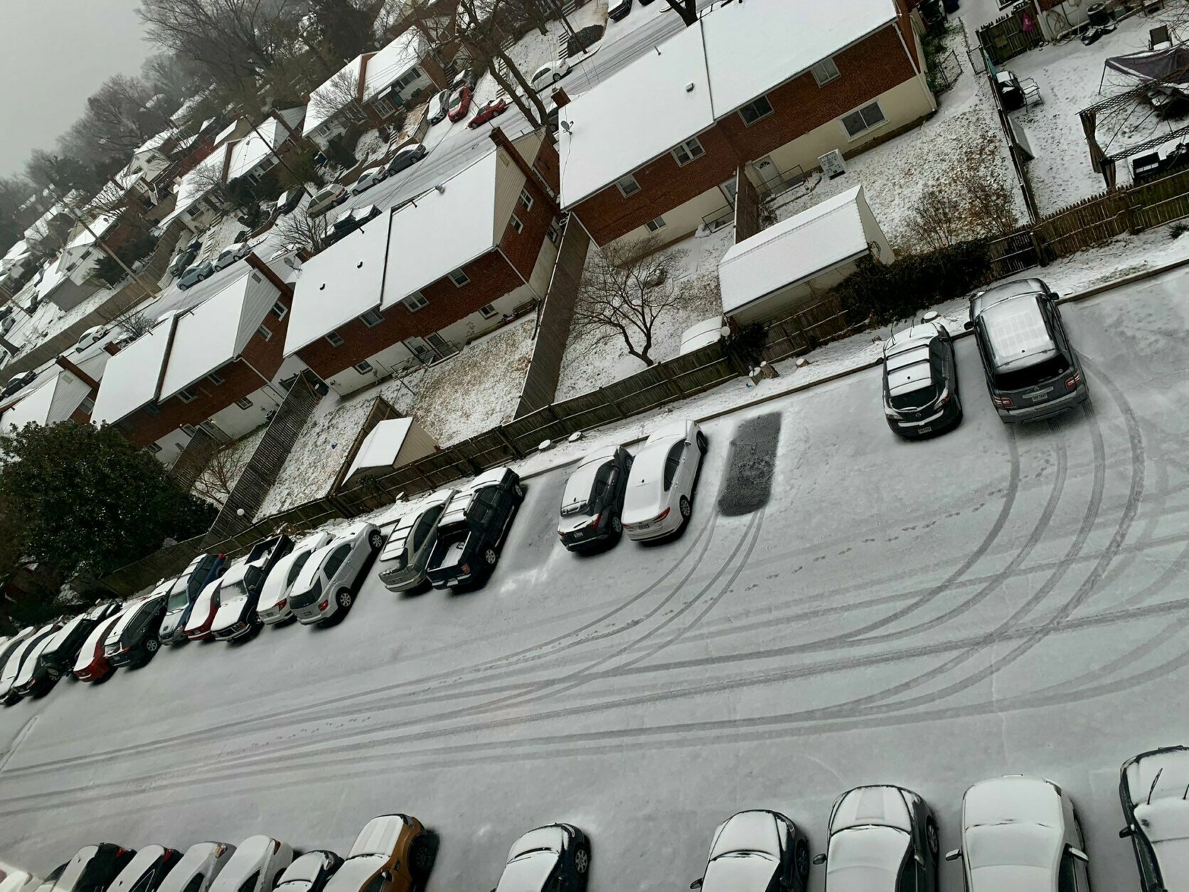
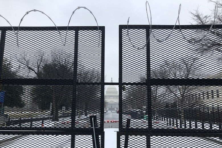
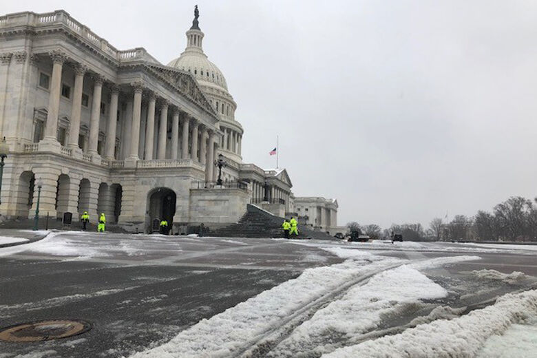
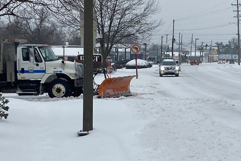
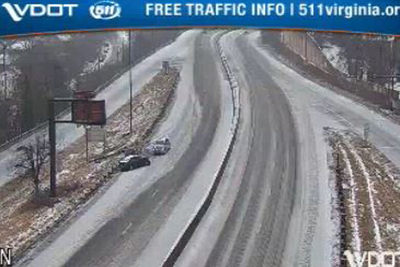
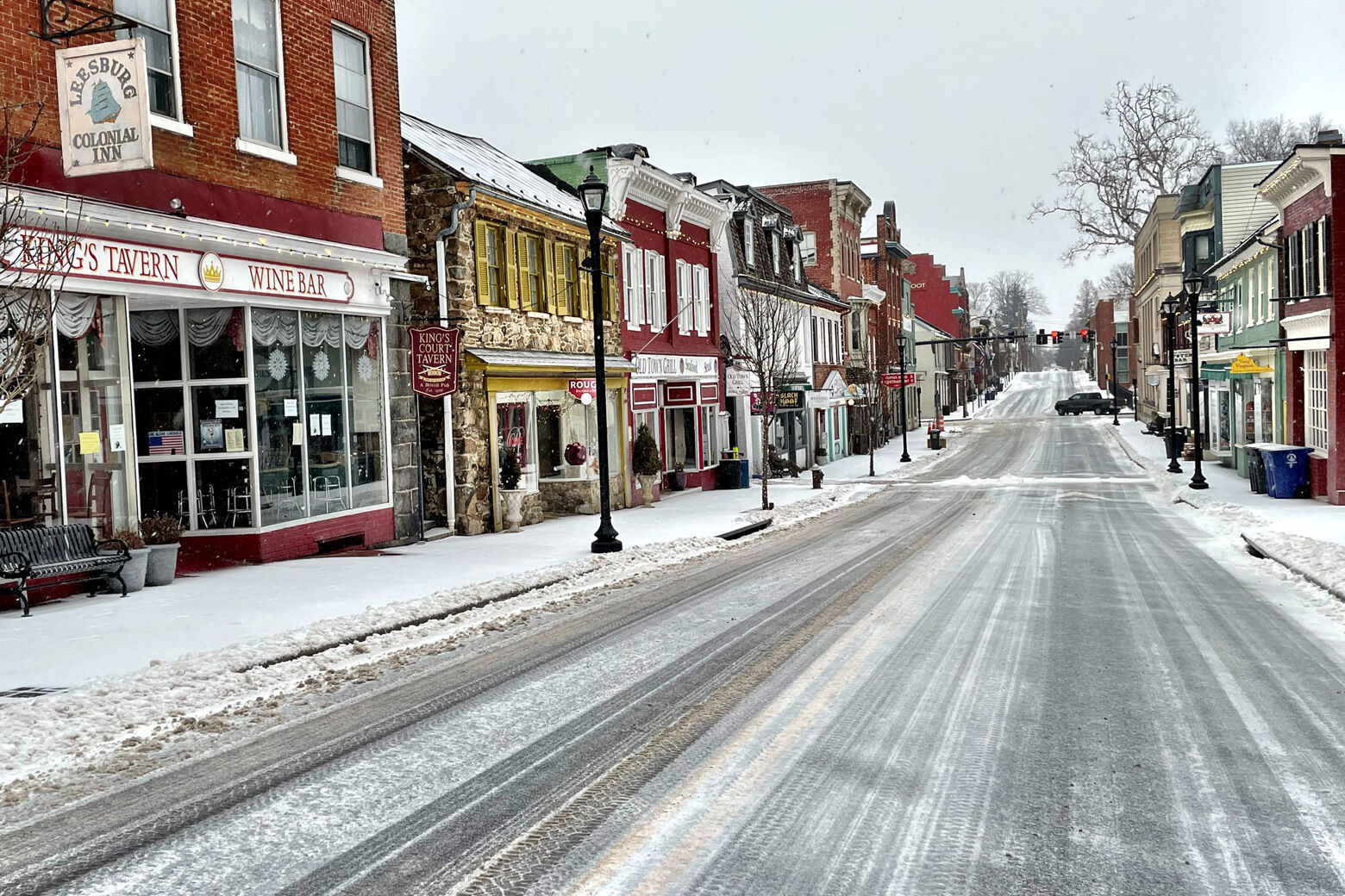
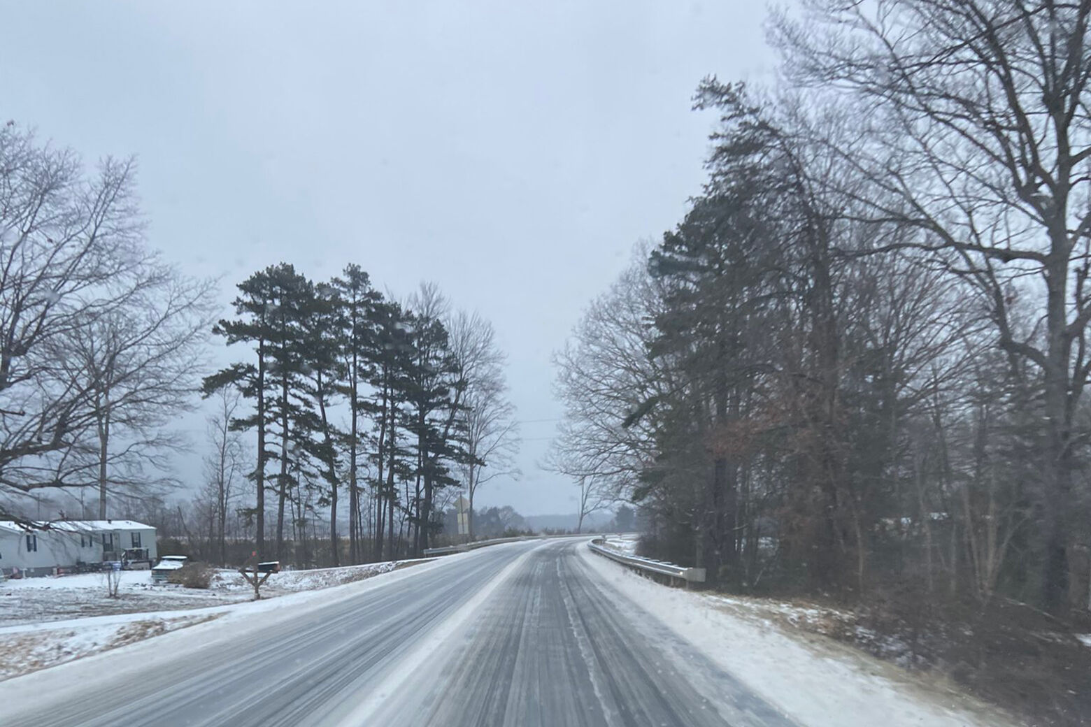
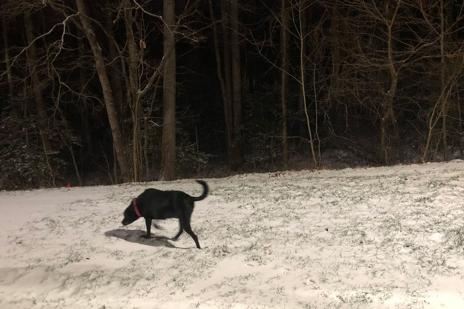
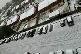
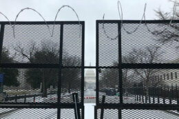
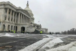
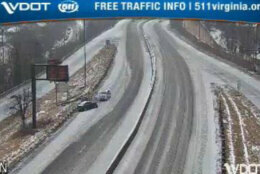
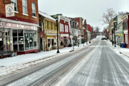
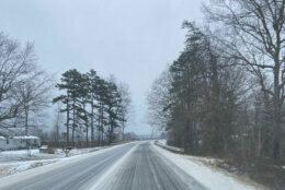
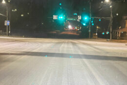
The cold is sticking around the D.C. region, and that’s going to make the roads and sidewalks dicey for a while.
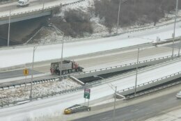
On the road, said WTOP’s Reada Kessler in the Traffic Center, “Things are looking a lot better than they have,” but there are still slick spots, especially on smaller roadways.
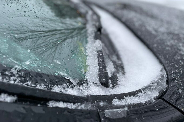
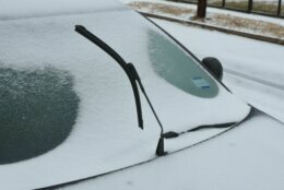
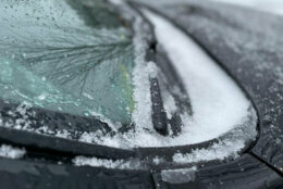
She also advised drivers to make sure to brush off their cars thoroughly, including the roof, lest snow and ice fly off into trailing vehicles.
Flying snow is bad enough, she said, but the sleet and freezing rain means that that buildup is mostly ice, and while flying snow is bad, flying ice is worse: “It can crack a windshield.”
Here’s what you need to know.
- Traffic: Listen to live updates on the 8s.
- Metrobus schedule changes for Friday. Metrobus will operate on a moderate snow service plan, providing service to customers on 110 routes. Detours will be in effect, and some routes may be suspended.
- What next? Refreeze is the main concern.
- Got photos? Tweet them at WTOP, if you can do it safely.
There have been extreme delays on the Chesapeake Bay Bridge on Friday evening, said WTOP’s Dave Dildine in the Traffic Center.
“It was like Memorial Day weekend on Route 50 from Annapolis to the Bay Bridge, except it’s winter and the reason for the major delays is because of ice,” Dildine said. “Eastbound traffic is backed up for more than 6 miles near to the Severn River Bridge, and it’s been this way for hours.”
The ice appears to have struck a driver’s windshield near the suspension towers, Dildine said. The woman whose windshield was struck was escorted off the bridge by police onto Kent Island, which is where the ambulance arrived.
The right lane on the eastbound span was blocked for over five hours. That, along with the long-term suspension of two-way traffic, did a number on eastbound traffic.
Update from @TheMDTA team on this crash, which was triggered by a piece of ice. https://t.co/HKNkLUlRZM pic.twitter.com/GZaMtFlrUi
— Mike Ricci (@riccimike) February 19, 2021
During natural weather events, snow & ice can accumulate on the Bay Bridge. Crews continuously monitor the bridge. Stay alert for changing traffic patterns. MDTA will proactively close lanes temporarily as a safety precaution. Remove ice & snow from your vehicle before driving.
— MDTA (@TheMDTA) February 19, 2021
WTOP Traffic said weather-related problems mounted as the region woke up Friday morning, and continued into the afternoon.
“Anything that could be potentially slick, please be very, very careful,” WTOP Traffic’s Jack Taylor reported. Taylor recommended slowing down 10-15 mph to be sure you have full control of the car.
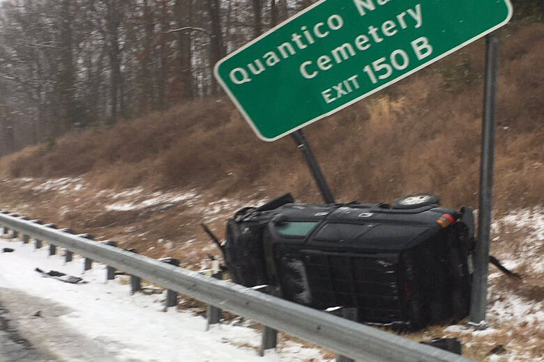
Crashes have been plaguing Maryland roadways in particular.
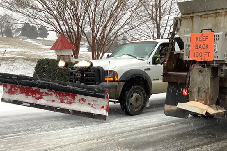
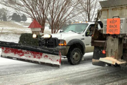
All lanes were blocked along Clarkesville Pike near Harpers Farm Road around 8 a.m., which Taylor said was caused by a snow plow that ran into a utility pole. The road remained completely blocked off by noon.
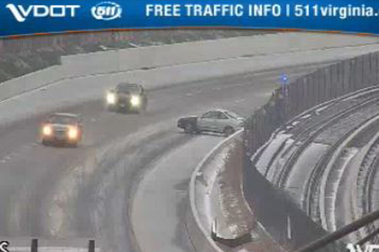
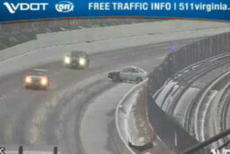
Another major crash in Maryland, this time along the Inner Loop of the Capital Beltway, just past the Ritchie-Marlboro Road exit, has caused continuing delays.
Earlier Friday, around 4 a.m., an icy I-695 played a role in a multi-car crash as drivers were heading east toward the 11th Street Bridge. Three people were taken to the hospital for treatment.
By 6:30 a.m., WTOP Traffic reported additional crashes throughout the metro area, with one in Oxon Hill, Maryland, blocking the left lane on I-295 southbound just before the I-495 entrance, and another in Sterling, Virginia, heading south on Route 28 blocking the right lane near Old Ox Road.
The left side of Outer Loop of I-495, just after the River Road exit, was temporarily blocked before being cleared by 7 a.m.
If you must travel, the Virginia State Police advise:
- Make sure all windows and lights are clear of snow and ice before heading out.
- Always buckle up — driver and all passengers.
- Drive distraction free — put down the phone and coffee, and keep both hands on the wheel and eyes on the road.
- Slow speed for conditions and increase following distances.
- Use headlights to increase your visibility and to help other drivers see you better.
- Share the road responsibly with VDOT vehicles and emergency vehicles.
For the latest road and traffic conditions, see WTOP’s traffic page or listen to updates every 10 minutes online or on the air at 103.5 FM. Submit traffic tips by calling 866-304-WTOP or tagging @WTOPtraffic on Twitter.
Weather conditions
Originally, Storm Team4 meteorologist Matt Ritter said, the weather pattern was supposed to taper off rapidly from west-to-east though, from about 7 a.m. until 10 a.m. But that was interrupted by one last “parting uppercut” of heavy snow, in Ritter’s words, that darted through the heart of the region around 8 a.m., negating some of the road work that occupied crews throughout the morning.
Despite the trouble that final band caused roads crews, it did make for some prime snowy sights.
#Snow burst in Arlington. Pretty finish to our treacherous sleet/ fz rain. @WTOP @WTOPtraffic @MetMattRitter @laurynricketts @ARLnowDOTcom #DMV pic.twitter.com/dNj1vpe3tB
— Hillary Howard (@hhowardWTOP) February 19, 2021
Ritter reported that most of the light snow showers, flurries and freezing drizzle focused around northern Maryland and southern D.C. have dissipated, allowing for some midday sun, particularly west of D.C. Ritter said the abundance of ice and snowpack prevented the day from being even milder.
It was a different story from Friday morning, which was welcomed by freezing drizzle and fog throughout the region, as well as wet snow in some of D.C.’s northwest suburbs. An icy glaze accompanied all of these wintry conditions.
That final band of snow that sprinted through region concentrated in Anne Arundel County, Maryland, coated the Bay Bridge around 8:40 a.m., before heading out over the bay.
The very back edge of the storm is an ironic heavy snowband putting down some very quick accumulations almost like a snow squall. Expect sudden heavy snow along US301 in Maryland and then US50 to the Bay Bridge between now and 9am! Slow down now and expect brief heavy snow pic.twitter.com/irjBkq0mol
— Matt Ritter, WTOP Meteorologist #DCwx #VAwx #MDwx (@MetMattRitter) February 19, 2021
Ritter said a blustery evening will bring a hard refreeze for any standing water or slush on the roadways and sidewalks, but anything that’s only damp will likely be dried by the nighttime gusts.
- Listen to WTOP online and on the radio at 103.5 FM or 107.7 FM.
- Current traffic conditions
- Weather forecast
- Closings and Delays
- Sign up for WTOP alerts
Changes to vaccination sites
In Maryland, the mass vaccination site at Six Flags America theme park will be open Friday from 10 a.m. – 5 p.m. It will accommodate those with scheduled appointments for Feb. 19.
- Those with appointment times between 8 a.m. to 9 a.m. should arrive between 10 a.m. to 11 a.m.
- Those with appointment times between 9 a.m. and 10 a.m. should arrive between 11 a.m. to noon.
- Those with appointment times after 10 a.m. should arrive at their scheduled time.
All Thursday appointments for the Six Flags America site, which was closed Thursday, will be rescheduled for March 3.
The Baltimore Convention Center Field Hospital will be open Friday for both vaccination and testing. Those who cannot make their appointments on Friday can call (410)-649-6200 to reschedule.
In Virginia, Prince William County’s Manassas Mall vaccination clinic will open at 10 a.m. due to potentially-dangerous driving conditions. Anyone scheduled from 9 a.m. to 10 a.m. can arrive at the clinic from 12:30 p.m. to 3 p.m. Friday and will be accommodated.
Forecast
There will be some sunshine this weekend, but it will stay cold.
A wintry mix could make an appearance Monday morning, which will change over to rain.
- Saturday: Mostly sunny, blustery and cold. Highs in the upper 20s to lower 30s.
- Sunday: Sun with increasing clouds late in the day. Highs in the low to mid 30s.
- Monday: Wintry mix in the morning, changing to rain. Highs 40 to 45.
Current weather
WTOP’s Dave Dildine and Matt Small contributed to this report.


