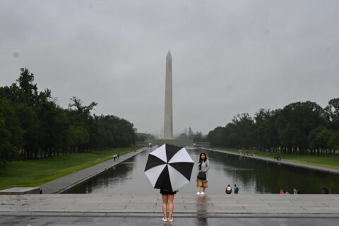
Those who fondly remember the Dupont Circle snowball fights of years past have been sorely disappointed in recent D.C.-area winters, but there could be some hope on the horizon.
The National Weather Service issued a winter storm watch alert for several counties around the region, including northern Maryland, western Virginia and the West Virginia panhandle. The alert begins Wednesday and will go through the whole day with slick conditions and reduced visibility.
The line of significant snow looks to work diagonally from the southwest to the northeast, beginning west of Charlottesville, Virginia and heading toward Baltimore, Maryland. Just a few dozen miles to the west of that line, be prepared for snowfall totals that start at eight inches.
Here is our most likely snowfall accumulation map. As you can see, there is a tight gradient of snowfall accumulations along the urban corridor of Baltimore/Washington. Areas east of here will see mainly a cold rain, whereas 30 miles to the west could see over 12″ of snow. pic.twitter.com/DbFKrnBQI1
— NWS Baltimore-Washington (@NWS_BaltWash) December 14, 2020
The forecast is a sudden turn after spring-like conditions over the weekend. Many people who live north and west of Interstate 95, in areas of higher elevation, woke up on Monday to see a light dusting of snow, while most in the D.C. region were hit with a heavy dose of cold rain.
Tuesday brings clear skies with cooler temperatures in the mid 20s to low 30s, giving residents enough time to prepare for Wednesday’s weather.
Storm Team4 Meteorologist Chuck Bell said an area of high pressure will bring some cold air that could combine with precipitation for Wednesday’s winter weather.
“It will be a perfect day to prepare for snow on Wednesday,” Bell said. “Wednesday’s snow is likely to be the most significant snow in and around D.C in nearly two years.”
Early forecasts show between 1-4 inches of snow for the D.C. region with locations west of Dulles International Airport possibly receiving up to 12 inches. However, Bell said, it is still too early to accurately predict what Wednesday’s storm could bring.
WEATHER ALERT for potential WINTER STORM Wed–>Wed night–>Early Thu AM. Still 48 hours away from any first flakes. These first-estimate numbers are subject to change between now and Wednesday so stay with @nbcwashington and StormTeam4. Highest impacts West&North of Dulles. pic.twitter.com/40WfFZNuDK
— Chuck Bell (@ChuckBell4) December 14, 2020
Storm Team4 Meteorologist Somara Theodore said it will depend on what happens when two weather systems — one moving from the southwest to the north and another area of high pressure in the north — intersect.
If the colder air from the north dominates, it’s likely to produce snow, but if the warmer air mingles with coastal moisture, it should produce mostly rain. As is often the case, those in the areas west of the District should see higher snow totals.
The stormy weather should subside by Thursday, which will have the return of sunny yet cool conditions.
The predictions have local agencies working to get residents prepared for a significant winter weather event.
In Montgomery County, the Fire and Rescue Service tweeted that the NWS included the entire county in its most recent update for the winter storm, which starts early Wednesday morning.
Storm Team4’s Amelia Draper noted residents of Montgomery and Frederick counties in Maryland along with those in Virginia’s Fairfax, Prince William, Loudoun and Fauquier counties should be ready for wintry conditions in the first part of the day Wednesday.,
Forecast
Monday: Clear and cold, breezy, Lows: mid-20s.
Tuesday: Mostly sunny and cold. Highs: upper 30s to low 40s.
Wednesday: Winter storm likely with snow west of I-95 and rain to the east. Highs: Mid-to-upper 30s.
Thursday: Sun and clouds. Breezy conditions at times. Highs: low to mid 30s.


