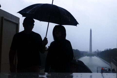
The D.C. area will endure some stormy days before being rewarded with pleasant weather for the Labor Day weekend.
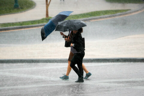
The area is under a severe thunderstorm watch until midnight, as the line of storms moves from west to east.
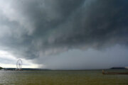
“Thursday will be just as hot as Wedesday was and just as humid, but a more vigorous disturbance will be approaching in advance of a strong cold front, increasing the likelihood for severe storms in the afternoon and evening with heavy rain and damaging winds,” Storm Team4 meteorologist Matt Ritter said.
Overnight fog is possible and more muggy conditions are expected Thursday, with high temperatures around 90 and a heat index nearing 100, Storm Team4 meteorologist Lauryn Ricketts said.
The humidity will be dropping throughout the day on Friday, especially in the afternoon and evening. Strong high pressure will build in for the weekend bringing very comfortable weather with seasonable temperatures.
Storm Team4 meteorologist Chuck Bell said once the region beats the heat, there’s “a significant, season-changing, cold front” coming Friday, which sets us up for a beautiful holiday weekend.
“Saturday, Sunday and Monday will look fantastic,” Bell said. “Afternoon highs around 80° and overnight lows in the 50s to near 60 degrees all three days! That’s tough to beat for Labor Day — or any — weekend.”
Forecast:
- Wednesday: Passing morning showers, midday partly to mostly cloudy. Storms expected after 3 p.m., some strong to severe. Hot and humid. The heat index will make temps in the mid- to upper 80s feel more like the mid to upper 90s.
- Overnight: Cloudy with stray showers, muggy with some patchy fog. Temps in the 60s and 70s.
- Thursday: Partly to mostly sunny, hot and humid with afternoon storms, some strong. Temperatures in the low 90s and a heat index near 100.
- Friday: Isolated storm possible, otherwise more sun with gradually falling humidity in the afternoon. Temperatures in the upper 80s.
- The weekend: Sunshine and comfortable. High temperatures around 80, with lows in the low 50s to near 60.