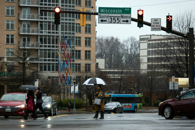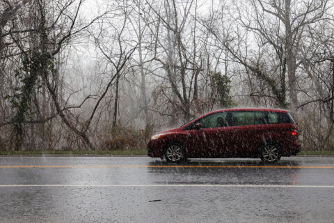
In a wild twist after a warm and nearly snowless winter, the second weekend of May in the D.C. region will likely be downright cold — and some forecast models are even hinting at the rather outrageous possibility of wet snow.
Winterlike temperatures in May may seem inconceivable following D.C.’s seventh warmest winter on record, but the odds for a dramatic shift that would allow for a late week polar temperature plunge are increasing.
Storm Team4’s Briana Bermensolo expects Thursday to be cool, breezy but mostly sunny, with highs in the low 60s.
A sharp cold front is expected to move through the region late Friday, bringing with it a period of rain lasting into Saturday. A dense, cold pocket of air underneath an unusually deep atmospheric trough will pivot into the Mid-Atlantic from lower Canada by early Saturday morning.
Behind the front, an area of high pressure across the eastern U.S. will demarcate an airmass with polar origins — a rare occurrence for the month of May.
The American GFS forecast model projects an array of weather systems and atmospheric profiles typical of late February.
Temperatures late Friday night and Saturday are forecast to be well below average, as precipitation falls into the 30s, even near the District.
High temperatures on Saturday may only reach the low 50s, perhaps 20 degrees below the average of 74 degrees. The District’s record low maximum temperature, or the coldest high temperature, for May 9 of 52 degrees set back in 1877 could be challenged, especially if the high May sun stays behind clouds later than expected.
Now that would be something! DC below 40 in May! There’s a chance that Reagan National will hit the 30s either Sat. or Sun. morning. If it does, it would be only the 5th time in the last 50 years! Meanwhile, a freeze is expected in the Shenandoah Valley pic.twitter.com/Jlv8vwMulG
— Chuck Bell (@ChuckBell4) May 5, 2020
Dulles International Airport’s low maximum temperature of 55 degrees is more vulnerable, given the magnitude of the incoming cold.
Low temperatures both Saturday and Sunday morning could drop below freezing across the northwestern suburbs. The National Service Service said a widespread freeze is possible. With the growing season well underway, unprotected plants could be damaged or killed.
There is a chance that some of the precipitation early Saturday could fall in the form of snow, especially over the higher elevations of northwestern Virginia, Western Maryland and West Virginia. It’s possible that some snow flakes could even reach the Piedmont and areas closer to the city early Saturday morning.
But Washington-area snow lovers who had a disappointing winter season, with a paltry 0.6 inches of snow, shouldn’t get their hopes up for a late encore — accumulating snow in May is exceptionally rare in the Mid-Atlantic region and unheard of in the D.C. metro area.
No measurable snow has ever been recorded in the month of May in the nation’s capital. According to the National Weather Service, the latest that measurable snowfall has graced D.C. happened on April 28, 1898, when half an inch was recorded downtown.
The frequency of April snow has decreased markedly since the early 1900s. The last time snow accumulated in the District in April was on April 7, 2007, when 0.4 inches fell. The northwestern suburbs have been briefly coated in early April snow before, but never in May.
And looking forward, hurricane season starts June 1.


