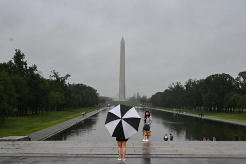
Light to moderate rain moved into the D.C. area Monday morning, ensuring that the driest September on record remains 2005’s.
The region, which has been suffering from a flash drought, is finally getting some much-needed precipitation. It had been on pace to tie Reagan National Airport’s September rainfall low of 0.11 of an inch, much less than the month’s average rainfall total of over 3 inches.
All the clouds have kept the temperatures down, too, after a hot Sunday.
“Temperatures because of the rain [are] not budging a whole lot,” said Storm Team 4 meteorologist Chuck Bell. Morning numbers around the area were in the high 60s and will inch up into the low 70s Monday afternoon.
They climb even higher later this week, he said, when warmer air comes “rushing back” Tuesday, with highs in the low to mid-80s.
“Once the clouds are gone and the sunshine returns, it’s going to be warm tomorrow,” Bell said.
What follows on Wednesday and Thursday could break another kind of weather record. Bell is forecasting a record high of 94 Wednesday afternoon.
“[We’re] likely to have at least one, maybe two record highs in a row Wednesday and Thursday,” he said.
Mid-week records are in jeopardy. Better enjoy the cloudy coolness today because at least one more blast of summer heat is on the way. All of Wednesday’s records are likely to fall and that Thursday record at Dulles is also in trouble. #EndlessSummer pic.twitter.com/8UonQ5ZqU5
— Chuck Bell (@ChuckBell4) September 30, 2019
More seasonal conditions arrive closer to the weekend, he said, with a gusty northwest wind. Temperatures will drop back into the 60s and 70s on Friday, and won’t go higher than the 60s on Saturday. See the full forecast on the WTOP Weather page.


