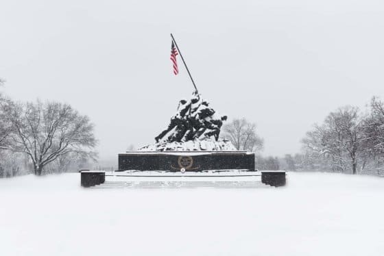
WASHINGTON — Road conditions led to a perilous journey for some commuters, and even people on sidewalks, during Tuesday morning’s rush hour.
The Tuesday refreeze did not hamper the evening commute, and Storm Team4 meteorologist Amelia Draper told WTOP that major arteries around the D.C. area should be all right Wednesday morning thanks to continued cleanup.
- Listen to WTOP online and on the radio at 103.5 FM
- Current traffic conditions
- Weather forecast
- Closings and delays
- Sign up for WTOP alerts
Side roads and roads that haven’t been cleared could present their own problems, though, because they will still be slushy and icy.
Related Gallery
But wait, there’s more
The D.C. region probably hasn’t seen the last of the snow. More wintry weather is on the horizon for Thursday, Friday and the weekend.
One system is due to arrive Thursday night into Friday morning. It will most likely start as rain and transition to snow.
Draper told WTOP that, right now, the D.C. area is expected to get less than 2 inches of accumulation, if the storm does transition into snow.
Yet another weekend storm is poised to hit the D.C. region over the weekend, when warmer air will flood the area on Saturday in advance of a powerful arctic cold front. That arctic air will pour into the area midday Sunday, and precipitation may end as a period of snow.
Some of the coldest air of the season will keep highs in the lower 20s on Monday.
Current conditions
Forecast
- Wednesday: Mostly sunny. Highs in the upper 30s to lower 40s.
- Thursday: Becoming cloudy. A chance of rain late. A possibility of rain/snow overnight. Highs in the mid- to upper 30s.
- Friday: An early rain or snow shower, then mostly cloudy and warmer. Highs in the low to mid-40s.