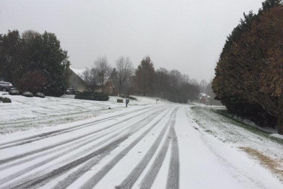
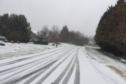
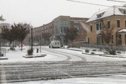
WASHINGTON — The D.C. area’s first snow of the season made trouble on the roads all through the day Thursday. Commuters have had a cold, wet and dangerous trip in the morning and the evening; accidents are stacked up all over the region, and the gradual changeover to rain isn’t making things much better, especially north and west of D.C.
- Get the latest weather forecasts
- Area closings and delays
- Get the latest traffic conditions
- Sign up for WTOP alerts
A Winter Weather Advisory was in effect for the entire D.C. area for much of the day. Fauquier and Culpeper counties in Virginia are still under that advisory until midnight; in Loudoun County and the Shenandoah Valley in Virginia, and Frederick, Carroll and northern Montgomery counties in Maryland, a Winter Storm Warning will be in effect until 4 a.m. Friday.
For the rest of the afternoon and evening, there’s snow, sleet and freezing rain north and west of the District, and rain elsewhere, said Storm Team 4 meteorologist Mike Stinneford.
The snow is still falling between Germantown and Frederick, Maryland, around Interstate 270, Stinneford said. Between Frederick and Front Royal, they’re getting sleet on top of snow – “kind of like little ball bearings,” Stinneford said.
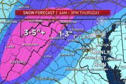
Snow totals at about 3 p.m., provided by Stinneford:
- Thurmont, Md.: 7.5 inches
- Walkersville, Md.: 6.1 inches
- Hillsboro, Va.: 6 inches
- New Market, Md.: 5.3 inches
- Westminster, Md.: 5.3 inches
- Clarksburg, Md.: 5.2 inches
- Purcellville, Va.: 4.8 inches
- Leesburg, Va.: 4.8 inches
- National Zoo: 2 inches
- American University: 1.5 inches
- Dulles Airport: 3 inches
- Reagan National: 1.4 inches
- BWI Marshall: 1.3 inches
The area might get a bit of freezing rain, sleet or snow late Thursday night as temperatures drop back into the 30s.
The weather closed and delayed many school systems Thursday, and they’re starting to make decisions about Friday too. You can check out all the closings and delays.
Currently on area roads
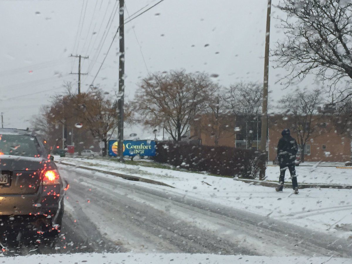
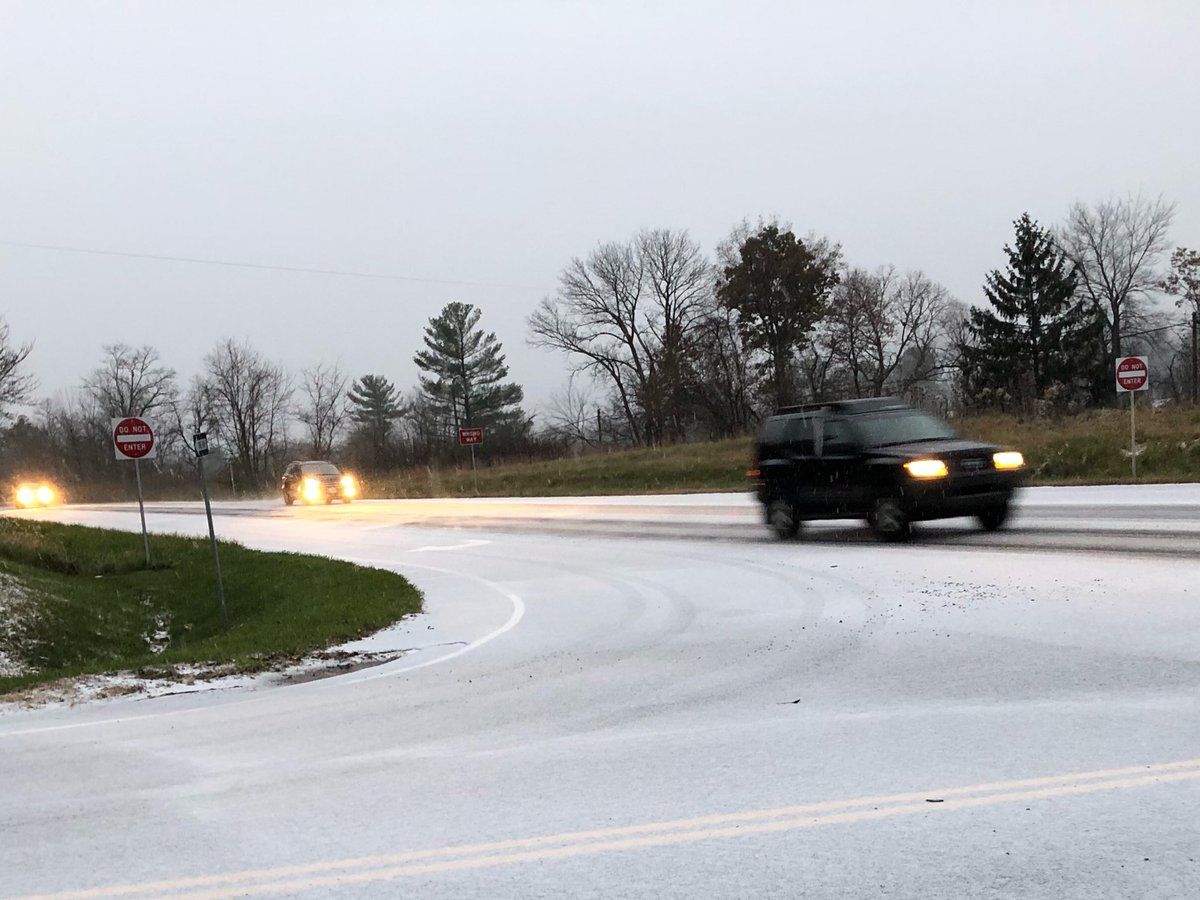
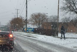
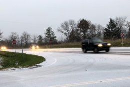
The conditions, and the people driving in them, have caused havoc on several area roadways.
The worst road conditions, like the worst weather conditions, are around I-270 and I-70, said Bob Marbourg in WTOP’s Traffic Center. With a lot of slush on the roads as of 5:45 p.m., traffic is barely moving around the intersection of those two roads.
Cars were stuck in traffic for hours, especially between Frederick and Hagerstown, Maryland, on I-70, Marbourg said.
The time it takes to clear any crash has been magnified by the conditions, he added.
East of the District, roads are simply wet – which still poses a set of challenges, Marbourg said.
The Maryland State Police said they responded to 97 crashes and assisted with 14 disabled vehicles between 6 and 10 a.m.
“A lot of people didn’t think the snow would materialize this early in the year. It’s a little bit of a shock value,” said Ellen Kamilakis, with the Virginia Department of Transportation. “We ask people to slow down, to add in more time to their commutes, to not underestimate things. Don’t drive like it’s a fall day; drive like this is a winter day.”
Pic here pic.twitter.com/x0ZOPWq7No
— MD State Highway Adm (@MDSHA) November 15, 2018
UPDATE - Frederick County - Eastbound left lane closure due to overturned firetruck I-70 E/W at MP 42. #MDOTNews #MdTraffic MM pic.twitter.com/nMJe7aMn6g
— MD State Highway Adm (@MDSHA) November 15, 2018
UPDATE - Frederick County - Jack-knifed tractor trailer closes US 340 WB past US 15 split. #MDOTNews #MdTraffic MM pic.twitter.com/rU38r7uVxI
— MD State Highway Adm (@MDSHA) November 15, 2018
Just pulled over in Burke to record. This neighborhood isn’t treated at all. Feel like I’m hearing sleet mixed in again. Highway road conditions vary lane by lane actually. Lots more @WTOP pic.twitter.com/ugaH6HlD41
— John Domen (@JDDsays) November 15, 2018
Same street, about an hour apart this morning, outside @wtop pic.twitter.com/PuOYm5KK48
— Ginger Whitaker (@GWhitakerWTOP) November 15, 2018
Snow is coming down and sticking to cars in Northeast DC. @WTOP pic.twitter.com/q9xv3LCLA9
— Sarah Beth Hensley (@SarahBethHens) November 15, 2018
Snow starting to pick up in Gaithersburg. @WTOP pic.twitter.com/4Y4fHIpVPm
— Nick Iannelli (@NickWTOP) November 15, 2018
And just like that, roads are now snow covered and slippery, just off Route 7 in western Loudoun County. @WTOP @WTOPtraffic pic.twitter.com/45zDo0Znbz
— Neal Augenstein (@AugensteinWTOP) November 15, 2018
Mainly sleet falling across the region right now but a lot of this is evaporating before it hits the ground. That should change as precip rates increase. Wintry mix through the morning with deteriorating conditions. Heavy rain possible this afternoon pic.twitter.com/T4SwtvfDEk
— Lauryn Ricketts (@laurynricketts) November 15, 2018
Cars in Chantilly, VA already snow & ice covered this morning.... @ChuckBell4 @melissamollet @WTOPtraffic pic.twitter.com/F8VxsR91MU
— Lauryn Ricketts (@laurynricketts) November 15, 2018
Icy and snowy conditions have also caused problems on Interstate 395 and Interstate 95.
As of 5 p.m. in Fairfax County, Hillview Avenue is closed between Ronson Drive and Telegraph Road.
Area airports are open and operating.
Closings and Delays
Several school systems have announced that they will open two hours late Friday. See WTOP’s Closings and Delays page for the latest updates.
Kids celebrate Montgomery County Schools closing #snowday @WTOP pic.twitter.com/cMjSWYzdOw
— Dick Uliano (@DickUliano) November 15, 2018
What to expect Thursday evening
There could be some sleet, snow and freezing rain in the area, said Storm Team 4 meteorologist Mike Stinneford.
On Thursday night, there’s a chance that the rain will briefly change back over to snow for the Shenandoah Valley and northern Maryland before ending very early Friday morning.
The weekend and much of next week is expected to be chilly, but without all the precipitation this Thursday is bringing.
Current conditions
Forecast
Thursday P.M.
Rain, with a chance of bit more of a wintry mix late at night.
Highs: D.C. area, around 40; north and west of D.C. area, low to mid-30s; south and east of D.C. area, 40s.
Friday: Rain ends before 7 a.m. Increasing sun and breezy with highs in the mid-40s to low 50s.
Saturday: Partly sunny. Highs in the mid-40s to low 50s.
WTOP’s Will Vitka, Rob Woodfork, Teta Alim and Jack Pointer contributed to this report.