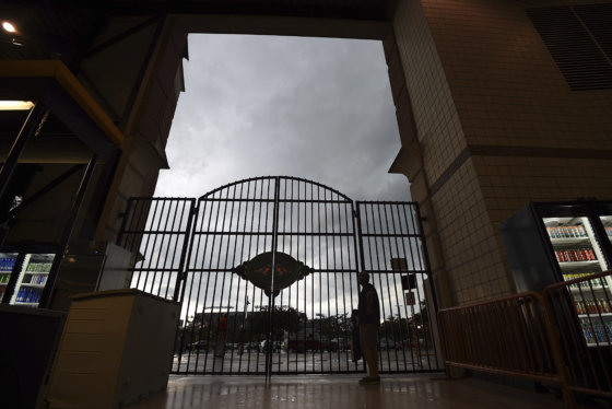

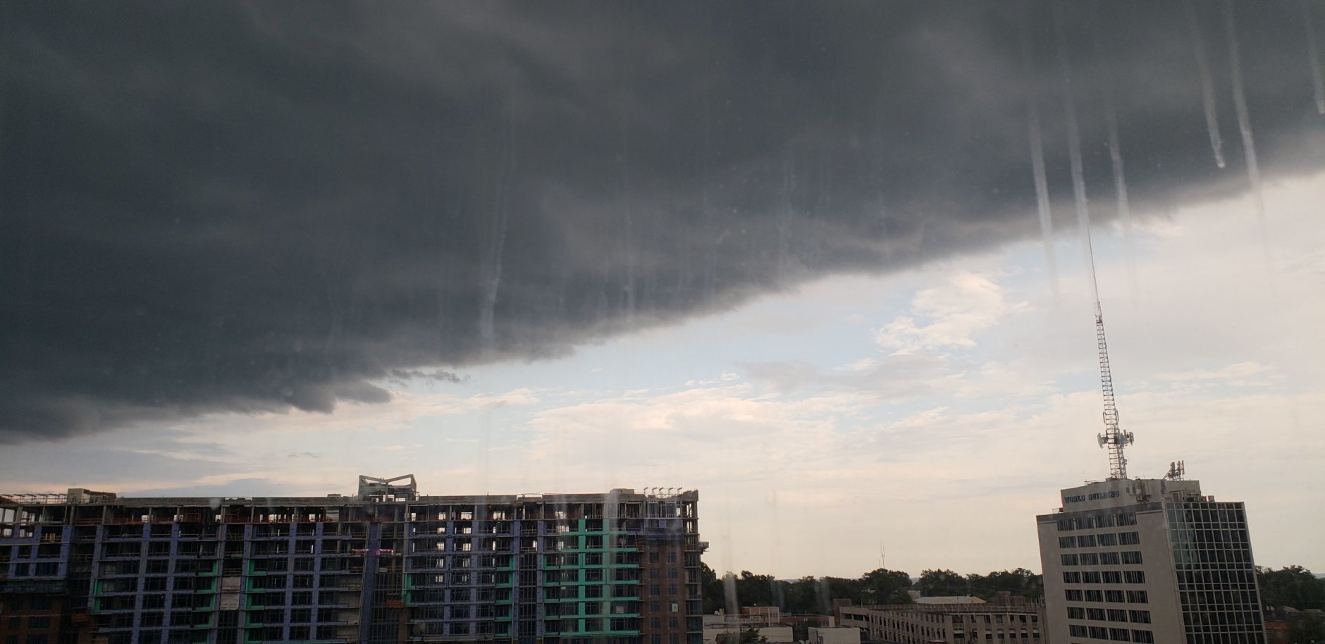
Just a nice summer rain in Gaithersburg... nothing severe. Yet. @WTOP pic.twitter.com/SrtlHRoKq9
— Brandon Millman (@BrandonMillman) July 27, 2018



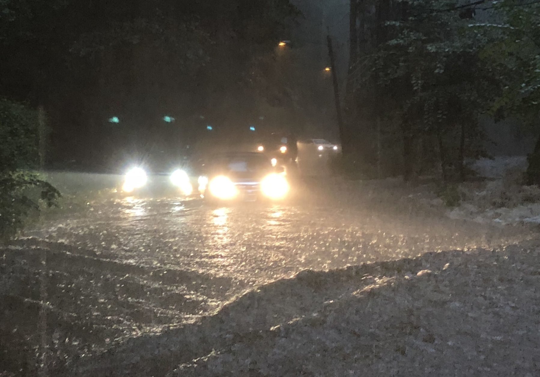









WASHINGTON — After days of soaking rains, the D.C. region weathered even more storms and flood conditions Friday. Fortunately, somewhat-drier weather is in the weekend forecast.
The area can look forward to ideal pool/beach weather on Saturday: The forecast calls for sunny skies, less-humidity and highs in the mid-80s.
It’s a welcome improvement over Friday, when storms moved through the area in the afternoon and evening, drenching ground that still had yet to dry out.
Montgomery County has a flood warning for Seneca Creek until Saturday morning. The weather service said the stage was at 2.7 feet at 4 p.m.; flood stage is 7.5 feet. A flood warning is also in effect through 3:45 a.m. Saturday for central St. Mary’s County in southern Maryland.
Traffic conditions
The weather service has previously warned about the threat of trees toppling because of the heavily saturated ground from all the recent rain. Trees can fall over with little or no wind in these conditions, the weather service said.
Drivers are asked to stay alert when going through wooded areas for the potential of downed trees.
Montgomery County Fire and Rescue spokesperson Pete Piringer tweeted some photos and video Friday evening showing downed wires and trees by a road in North Potomac. A tree that fell into some wires even caught slightly on fire, and smoke started to curl into the air.
13100blk Travilah Rd, tree on wires, isolated storm, heavy rain passed thru N Potomac, PE732 awaiting PEPCO pic.twitter.com/Dq7r7o1hBi
— Pete Piringer (@mcfrsPIO) July 27, 2018
13800blk TurkeyFoot Rd, N Potomac, tree down, Road BLOCKED pic.twitter.com/ngSXSIS8dc
— Pete Piringer (@mcfrsPIO) July 27, 2018
Piringer added that the 23900 block of Stringtown Road in Clarksburg is also blocked due to downed trees and wires.
Over in Howard County, police said part of Maryland Route 97 was closed “due to multiple trees down and other storm-related issues.” Though the road reopened later, police are still asking drivers to avoid the area since other nearby roads may still be closed.
UPDATE: Route 97 is now OPEN, but some other roads in the area are closed. Continue to avoid the area if possible and use caution. Treat spotlights that are out as four-way stops. https://t.co/IcsT6Auy9x
— Howard County Police (@HCPDNews) July 27, 2018
Current conditions
Forecast
Storm Team 4 meteorologist Lauryn Ricketts said Saturday is looking better with lower humidity, sun and temperatures in the 80s. Isolated showers and storms are in the forecast Sunday evening, but the rest of the day is expected to stay dry.
The rainy pattern is expected to return next week as well, with day after day of showers. Ricketts said rain in the upcoming workweek isn’t expected to be as intense as this past week, but the area still should look out for the threat of flooding.
Here’s the weather outlook:
- Saturday: Small drop in humidity, mostly sunny. Highs: mid 80s.
- Sunday: Increasing clouds. Warm and slightly more humid again. An isolated late-day shower or thunderstorm. Highs: mid to upper 80s.
- Monday: Mostly cloudy. Warm and humid. An isolated late-day shower or thunderstorm. Highs: lower to mid 80s.
Power outages
See the latest power outages below.


