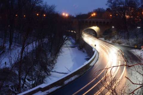
WASHINGTON — While this isn’t a winter for the record books just yet, the D.C. region is in the middle of one of the longest cold spells it’s seen in years.
Since Christmas Day, the average high temperature in the D.C. area has stayed above the freezing mark on just five days.
“It’s definitely out of the ordinary to see cold for this long, or at least of this magnitude,” said meteorologist Dan Hofmann with the National Weather Service.
“When you start getting to multiple days with high temperatures struggling to reach freezing, that’s something that really only happens once every decade or every couple of decades,” Hofmann said.
Even though the days the mercury has stayed below 32 degrees have not been consecutive, this winter is comparable to the winter of 1989, which saw 10 straight days of temperatures below 32 degrees. Not factoring in the wind chill, the temperature went as low as 5 degrees during that deep freeze, he said.
This exceptionally cold winter is due in part to a weaker polar vortex. To explain the weather condition, Hofmann said consider a ball inside an upside-down cup. Spin that cup fast, and the ball (or cold air) will remain trapped in the cup (closer to the North Pole).
“When its gets weaker and you spin the glass slower, all the cold air starts to bleed out and come further south,” Hofmann said.
Hofmann said windchills over the next few days are expected to reach -5 to -10 degrees inside the Capital Beltway. Outside the Beltway windchills could reach -15.
He said forecasts indicate that at the beginning of the coming week, the region should see temperatures above freezing. As for what the rest of the winter holds, Hofmann said it’s tough to predict.
“We could certainly be in for a couple more cold outbreaks before the winter is over,” Hofmann said.