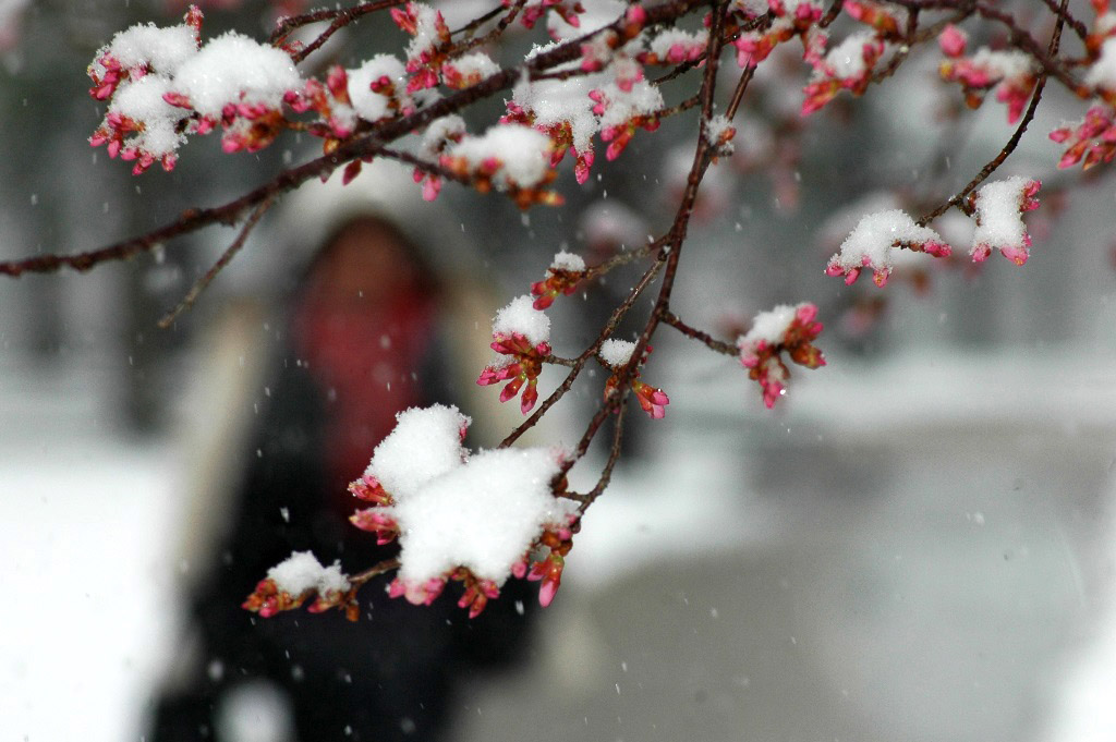
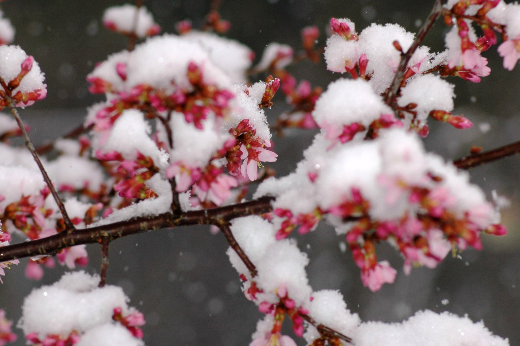
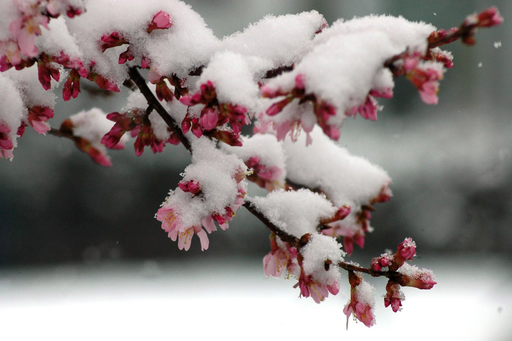
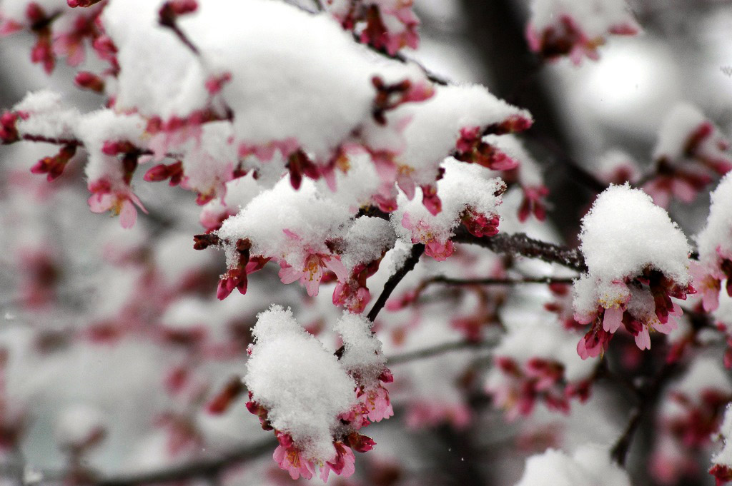
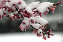
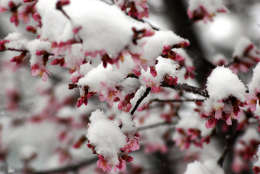
WASHINGTON — Snowflakes and cherry petals could coincide in the final acts of an ambivalent winter season.
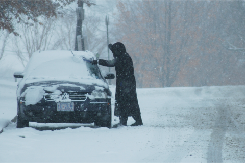
One of the warmest winters on record in D.C. seems intent to close on a cold note. And there is a remote chance that the weather pattern might yield some snow.
The region’s late rendezvous with winter weather will be heralded by the passage of a cold front on Friday morning. Rain and snow showers will skitter east of the region by early afternoon, riding a wave of unseasonably cold air. Temperatures will plunge into the 20s by Saturday morning and will likely remain well below average through next week.
With unusually cold air in place, a parade of storms will fly direct from the Pacific Northwest to the East Coast — the first of which is poised to ride the Polar Express well south of D.C., leaving the ground cold and dry through the weekend.
Computer models suggest that the weather pattern will remain conducive for wintry weather and hint at another more potent cyclone that could affect the region by the middle of next week.
“As we look to Tuesday, we’ll have cold air in place and the potential for an area of low pressure to travel up the coast and combine with another storm system that could lead to snow. However, this pattern in the past has been disappointing for snow-lovers,” said Storm Team4 meteorologist Amelia Draper.
The forecast is uncertain in part because the catalyst for the storm was still thousands of miles away Thursday afternoon, Draper said.
“All of the computer models are hinting at something … This far away, it’s definitely something to keep an eye on,” Draper said.
Draper added that temperatures, while below average for mid-March, will only be low enough to support wet snow, further complicating a challenging forecast.
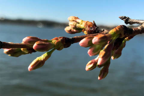
February was the warmest on record for the D.C. area, with an average temperature of 47.7 degrees. The warmer than usual weather has coaxed many plants into sprouting buds early, including the famous cherry trees along the Tidal Basin, some of which have even started to bloom. The most recent cold snap and the forecast of more cold weather forced the National Park Service to revise its peak bloom forecast.
March snow isn’t uncommon in D.C. On this date in 1999, more than a foot of snow fell, crippling the region’s transportation system.
In 2014, several late snowstorms produced more than a foot of snow during the month, leading to one of the snowiest Marches in more th an 50 years. The season culminated with a light snowfall on March 25, dusting budding cherry trees near the Tidal Basin.


