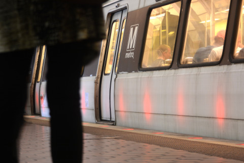
WASHINGTON — Metro is launching a test of Wi-Fi in six stations, and its own real-time rail map for smartphones that will allow riders to see a new representation of where trains are in the system.
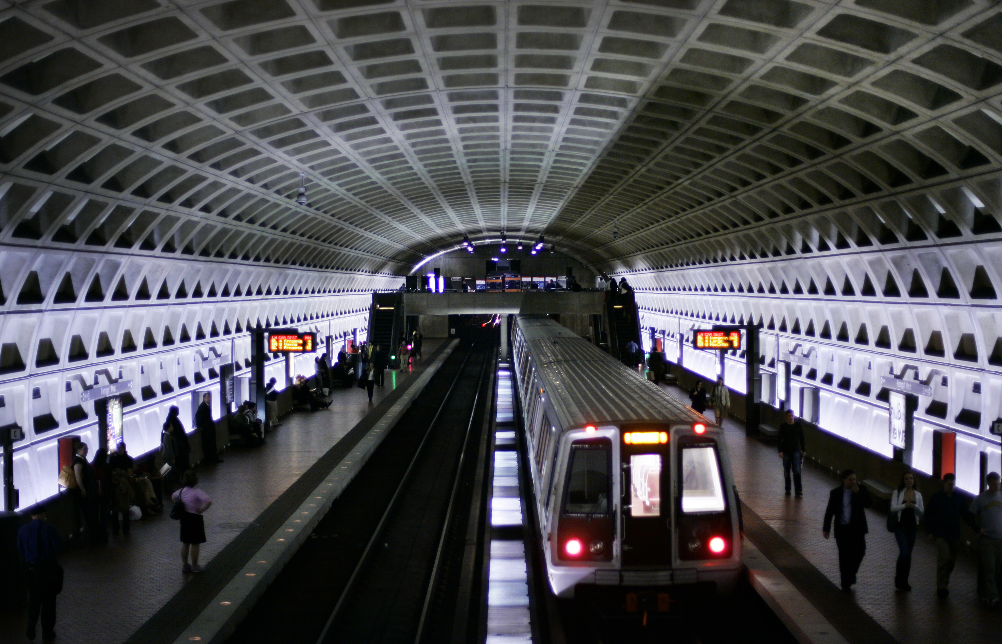
The Wi-Fi, as WTOP reported earlier this month, is available at Metro Center, Gallery Place, Judiciary Square, Union Station, Archives and L’Enfant Plaza, and will be shut off after 45 days so the program can be evaluated.
Riders who access the Wi-Fi and open an internet browser to connect will see a Metro landing page with links similar to Metro’s mobile website for trip planning, next train and bus arrivals, and buttons to call customer assistance or Metro Transit Police.
A new option is “Metrotrain,” a map that is designed to show the real-time location of trains in the system. Clicking on a train in the map will show the train’s status and length, and clicking on a station will display estimated train arrival times.
The map is similar to the train-location map provided by apps such as MetroHero based on Metro’s internal train tracking and passenger information display data, but MetroHero told WTOP it was not a part of the new map development.
Metro already let passengers check real-time train arrival data at individual stations through its mobile website which displays the same information as the train arrival screens inside the station.
Metro said it would base a decision on how to move forward after the pilot period on feedback submitted through the landing page by customers using the Wi-Fi.
“The information will be used to assess the pilot with the objective of deploying Wi-Fi at all 91 Metrorail stations in the future,” a Metro release said.