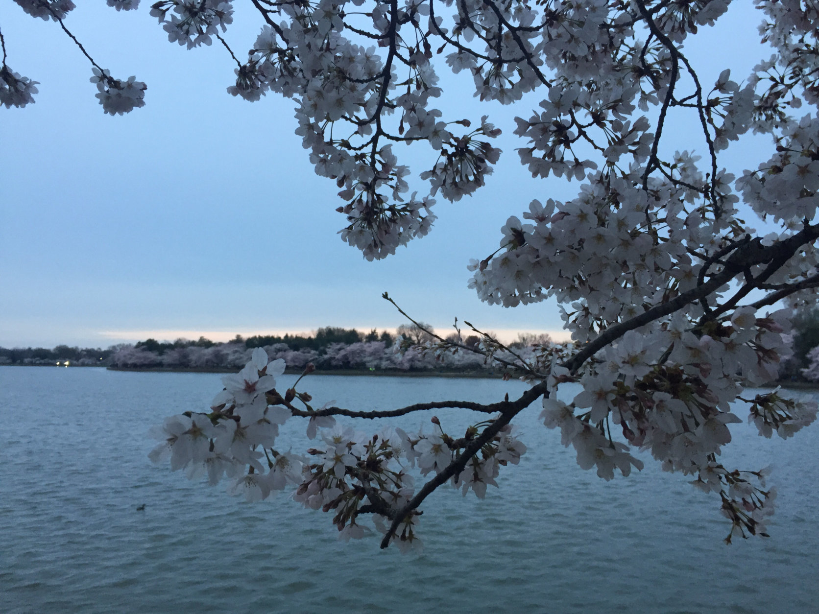
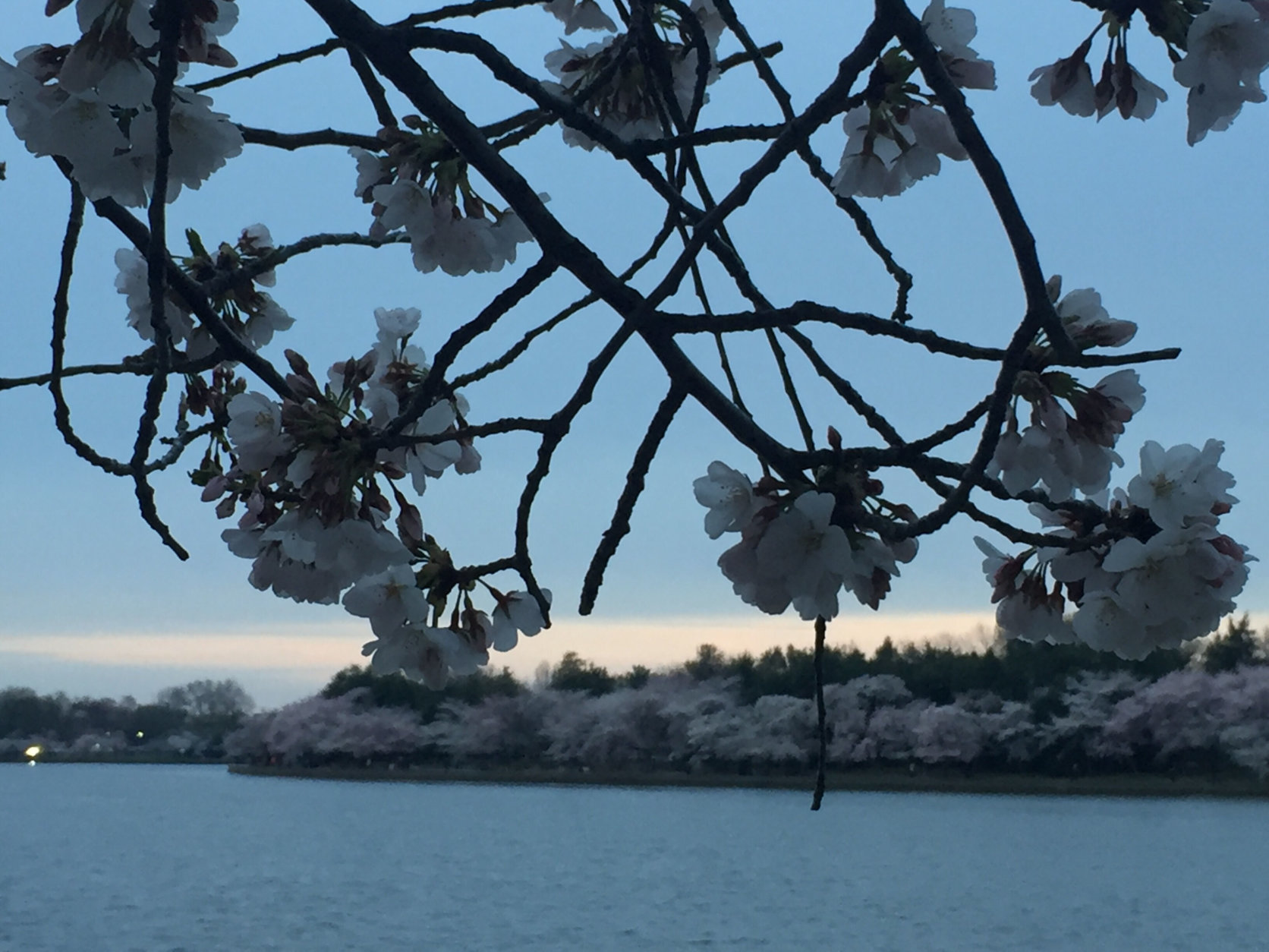
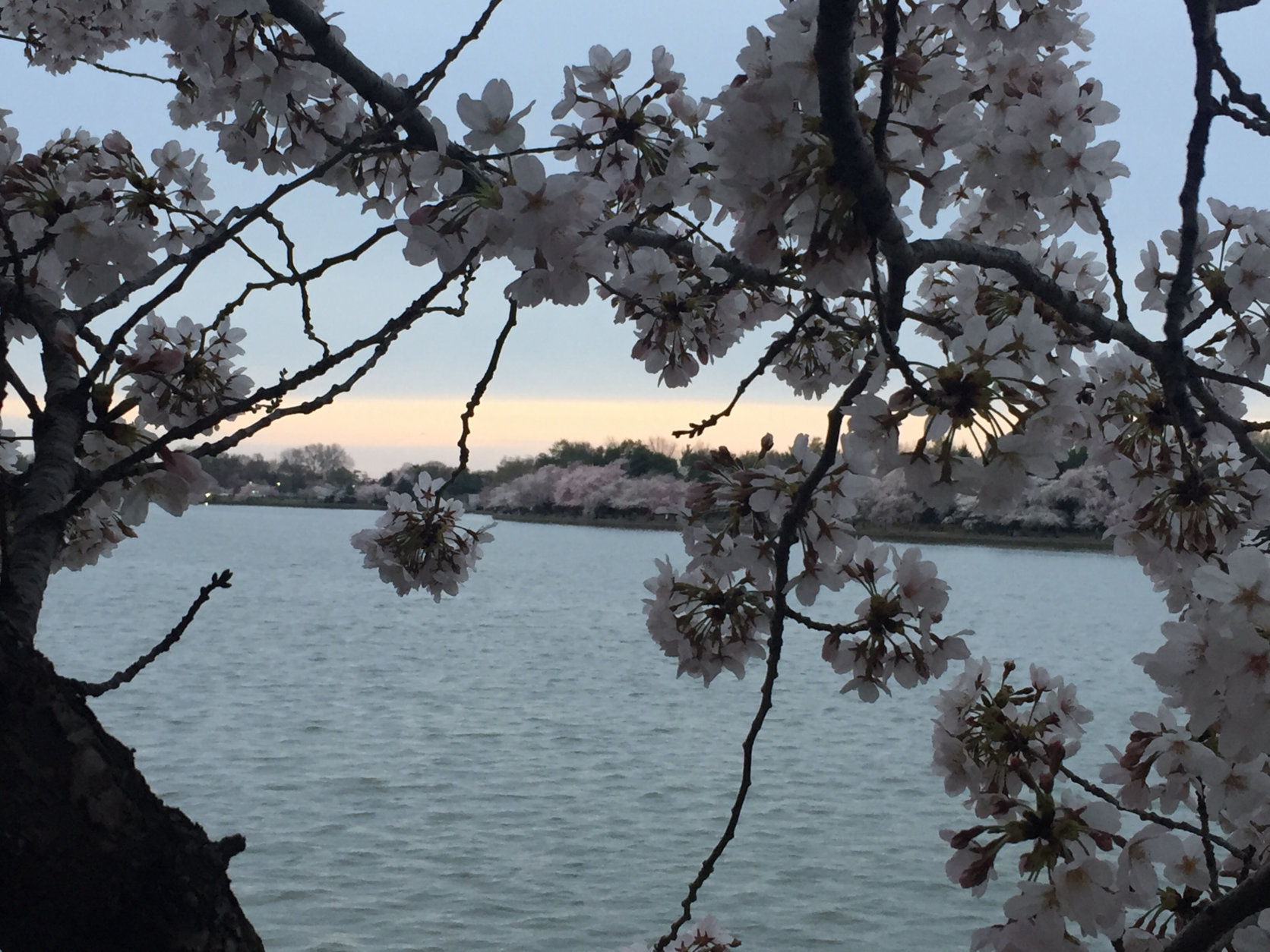
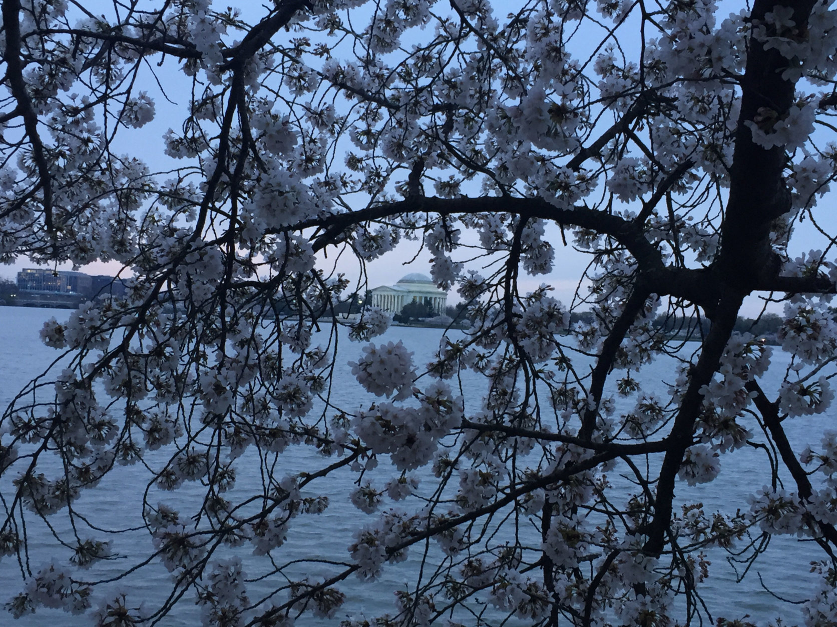

WASHINGTON — For fans of D.C.’s cherry blossoms, the biggest concern this weekend isn’t going to be the rain or even the chances of a few snowflakes. None of that will help, but it’s not the biggest concern.
What the National Park Service will be keeping an eye on is the cold temperatures coming in after the winds and moisture leave the area, with the cold air bringing the temperature to a dangerously low number for the blossoms.
“We’re going to keep an eye, certainly, on what’s coming,” said Mike Litterst, spokesman for the National Park Service.
Acknowledging that the rain or heavier, wet snow flakes could potentially pose problems, Litterst said, “I think the bigger thing we’re keeping on eye on right now are those temperatures.”
“Twenty-seven degrees is the threshold where you’ll start to see damage to the blossoms and some of them being killed off,” Litterst said.
With the low temperatures Saturday night into Sunday morning dipping into the upper 20s around the region, it’ll be something to keep an eye on, he said.
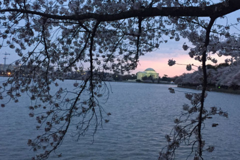
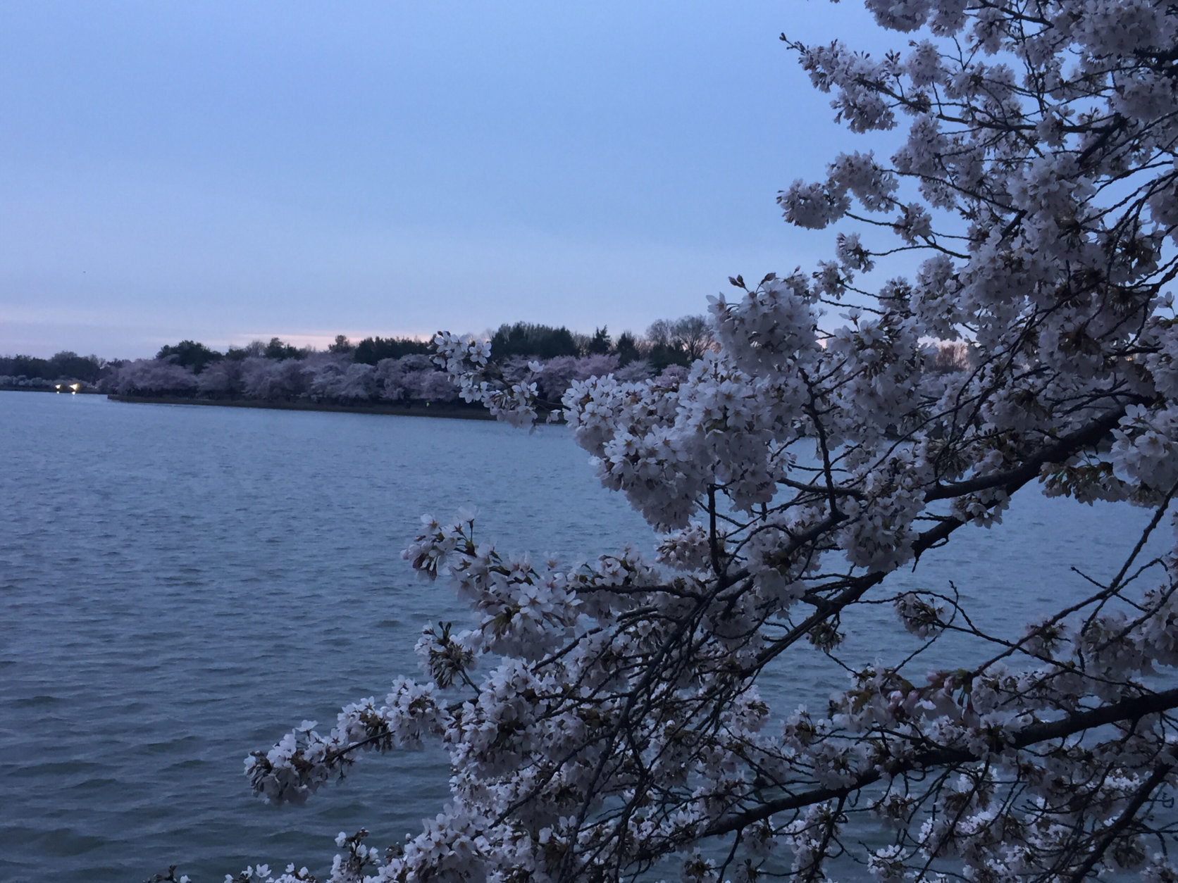
At the same time, there’s reason to be optimistic that even if some parts of the region hit that low mark, the areas around the Tidal Basin might just stay warm enough, thanks to the Potomac River.
“We generally get a bump of a degree or two [in air temperature] because the trees are so close to the water,” Litterst said. “Obviously the water temperature isn’t anywhere near the upper 20s, so we’ve got our fingers crossed that that will help again as we get some at least subfreezing temperatures likely for Saturday night.”
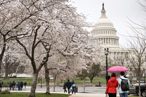
Still, the uncertainty and the wintry-feel of the weather forecast means your best bet to see the blossoms at their fullest will still be Friday.
“Just because we made it to peak bloom doesn’t mean Mother Nature is done with us yet, apparently,” Litterst conceded.
“We’re going to keep an eye certainly on what’s coming,” he added, but said if you like to walk around the Tidal Basin during the “peak bloom” periods, “it’s not going to get any better than it is right now.”

